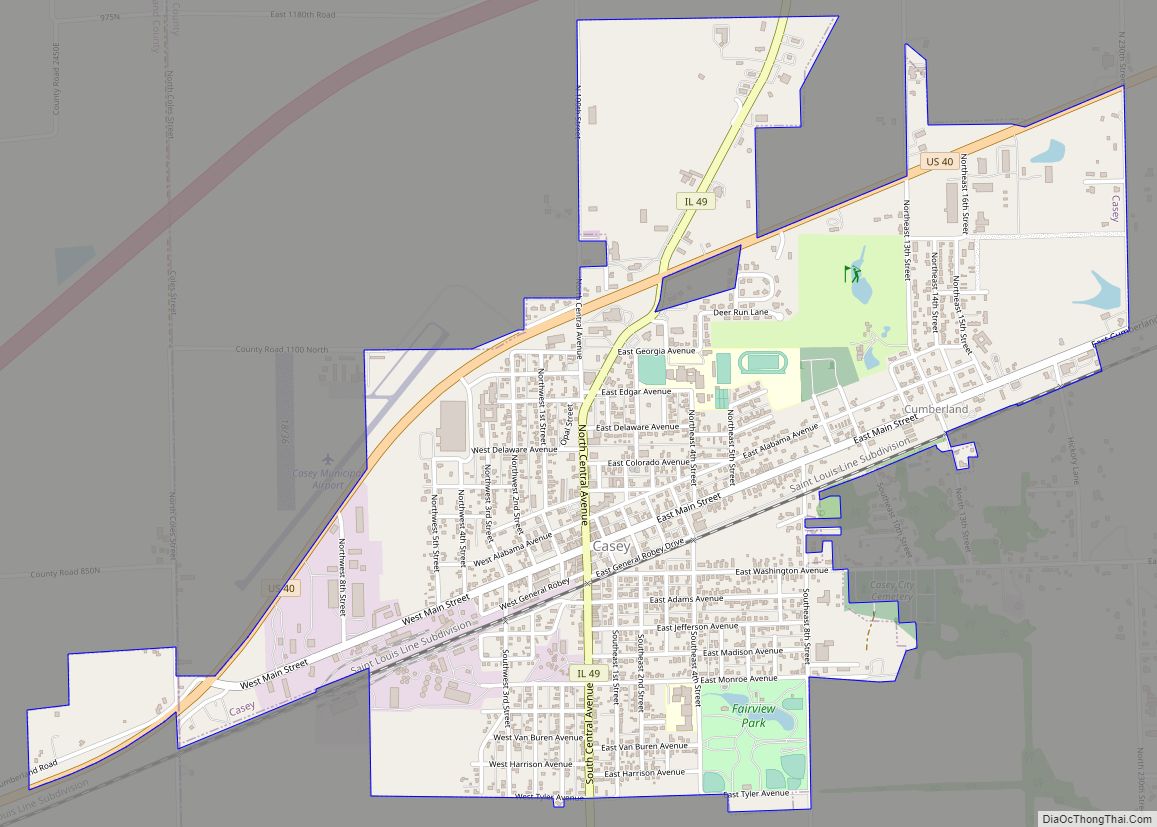
Casey (pronounced CAY-see) is a city in Clark and Cumberland counties in the U.S. state of Illinois. The population was 2,404 at the 2020 census.
The Cumberland County portion of Casey is part of the Charleston–Mattoon Micropolitan Statistical Area.
Casey is the home to several Guinness World Record constructions – super-sized items in the form of outdoor sculptures—including the Wind Chime, Rocking Chair, Knitting Needles, Crochet Hook, Pitchfork, Golf Tee, Yardstick, Wooden Token, Dutch Wooden Shoes, Mailbox, Pencil and Birdcage.
| Name: | Casey city |
|---|---|
| LSAD Code: | 25 |
| LSAD Description: | city (suffix) |
| State: | Illinois |
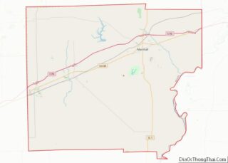
| County: | Clark County, Cumberland County |
| Elevation: | 646 ft (197 m) |
| Total Area: | 2.64 sq mi (6.83 km²) |
| Land Area: | 2.62 sq mi (6.79 km²) |
| Water Area: | 0.01 sq mi (0.04 km²) |
| Total Population: | 2,404 |
| Population Density: | 916.86/sq mi (353.96/km²) |
| ZIP code: | 62420 |
| Area code: | 217 |
| FIPS code: | 1711618 |
| GNISfeature ID: | 2393765 |
| Website: | http://www.cityofcaseyil.org/ |
Online Interactive Map
Click on ![]() to view map in "full screen" mode.
to view map in "full screen" mode.
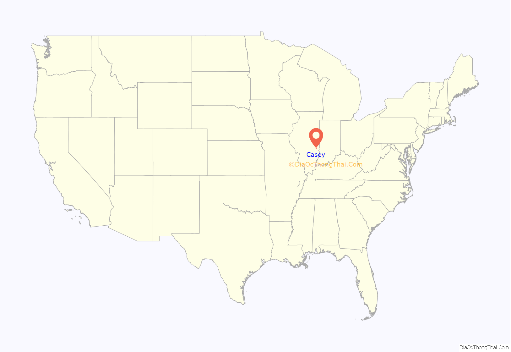
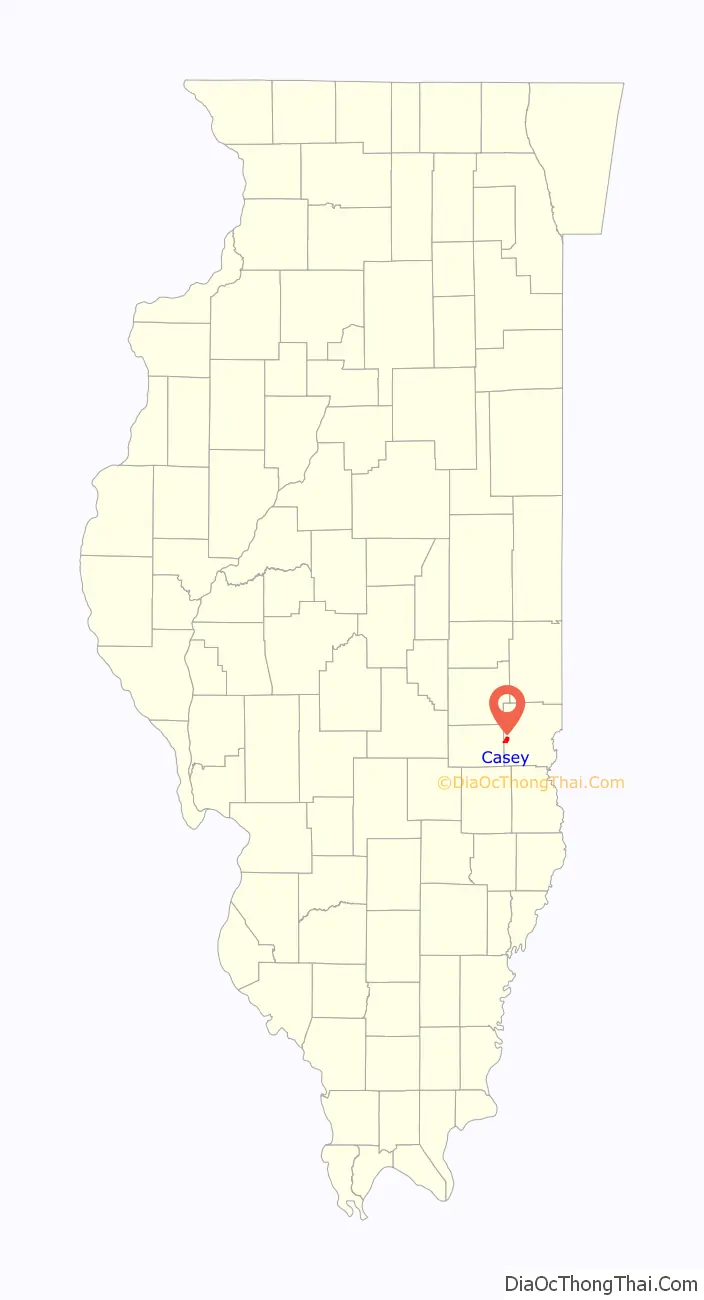
Casey location map. Where is Casey city?
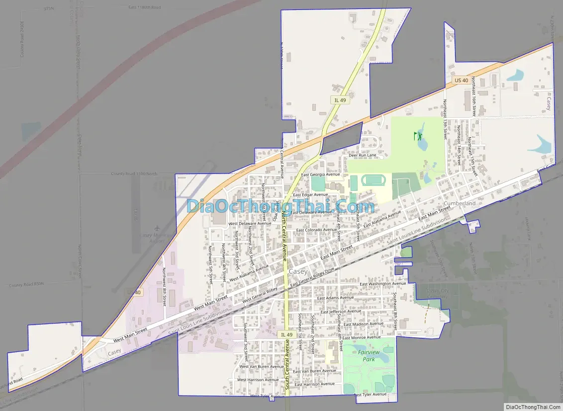
Casey Road Map
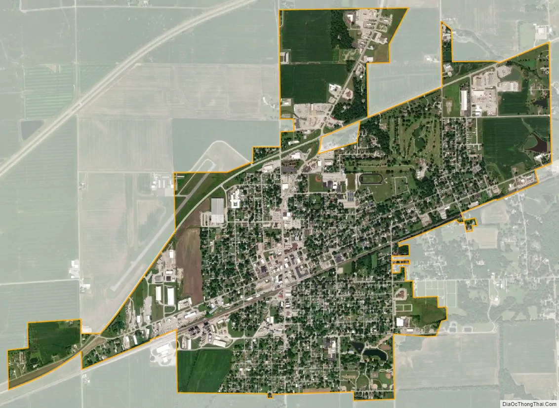
Casey city Satellite Map
Geography
Most of the city lies in Clark County, although a small portion extends into Cumberland County. In the 2000 census, 2,940 of Casey’s 3067 residents (99.9%) lived in Clark County and 2 (0.1%) lived in Cumberland County.
According to the 2021 census gazetteer files, Casey has a total area of 2.26 square miles (5.85 km), all land.
Climate
See also
Map of Illinois State and its subdivision:- Adams
- Alexander
- Bond
- Boone
- Brown
- Bureau
- Calhoun
- Carroll
- Cass
- Champaign
- Christian
- Clark
- Clay
- Clinton
- Coles
- Cook
- Crawford
- Cumberland
- De Kalb
- De Witt
- Douglas
- Dupage
- Edgar
- Edwards
- Effingham
- Fayette
- Ford
- Franklin
- Fulton
- Gallatin
- Greene
- Grundy
- Hamilton
- Hancock
- Hardin
- Henderson
- Henry
- Iroquois
- Jackson
- Jasper
- Jefferson
- Jersey
- Jo Daviess
- Johnson
- Kane
- Kankakee
- Kendall
- Knox
- La Salle
- Lake
- Lake Michigan
- Lawrence
- Lee
- Livingston
- Logan
- Macon
- Macoupin
- Madison
- Marion
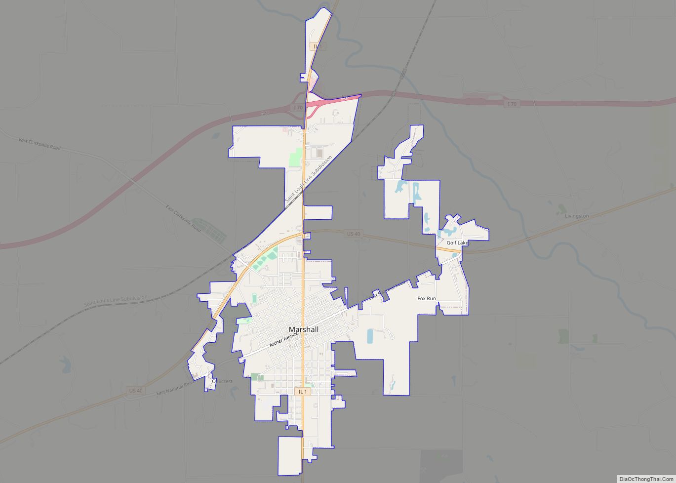
- Marshall
- Mason
- Massac
- McDonough
- McHenry
- McLean
- Menard
- Mercer
- Monroe
- Montgomery
- Morgan
- Moultrie
- Ogle
- Peoria
- Perry
- Piatt
- Pike
- Pope
- Pulaski
- Putnam
- Randolph
- Richland
- Rock Island
- Saint Clair
- Saline
- Sangamon
- Schuyler
- Scott
- Shelby
- Stark
- Stephenson
- Tazewell
- Union
- Vermilion
- Wabash
- Warren
- Washington
- Wayne
- White
- Whiteside
- Will
- Williamson
- Winnebago
- Woodford
- Alabama
- Alaska
- Arizona
- Arkansas
- California
- Colorado
- Connecticut
- Delaware
- District of Columbia
- Florida
- Georgia
- Hawaii
- Idaho
- Illinois
- Indiana
- Iowa
- Kansas
- Kentucky
- Louisiana
- Maine
- Maryland
- Massachusetts
- Michigan
- Minnesota
- Mississippi
- Missouri
- Montana
- Nebraska
- Nevada
- New Hampshire
- New Jersey
- New Mexico
- New York
- North Carolina
- North Dakota
- Ohio
- Oklahoma
- Oregon
- Pennsylvania
- Rhode Island
- South Carolina
- South Dakota
- Tennessee
- Texas
- Utah
- Vermont
- Virginia
- Washington
- West Virginia
- Wisconsin
- Wyoming