Eldred is a village in Greene County, Illinois, United States. The population was 201 at the 2010 census.
| Name: | Eldred village |
|---|---|
| LSAD Code: | 47 |
| LSAD Description: | village (suffix) |
| State: | Illinois |
| County: | Greene County |
| Elevation: | 446 ft (136 m) |
| Total Area: | 0.13 sq mi (0.35 km²) |
| Land Area: | 0.13 sq mi (0.35 km²) |
| Water Area: | 0.00 sq mi (0.00 km²) |
| Total Population: | 149 |
| Population Density: | 1,111.94/sq mi (430.17/km²) |
| Area code: | 217 |
| FIPS code: | 1723022 |
Online Interactive Map
Click on ![]() to view map in "full screen" mode.
to view map in "full screen" mode.
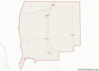
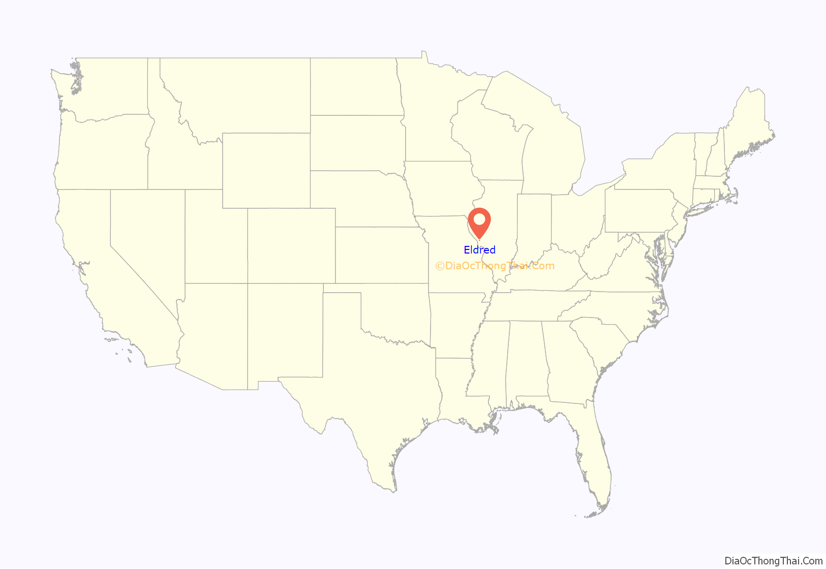
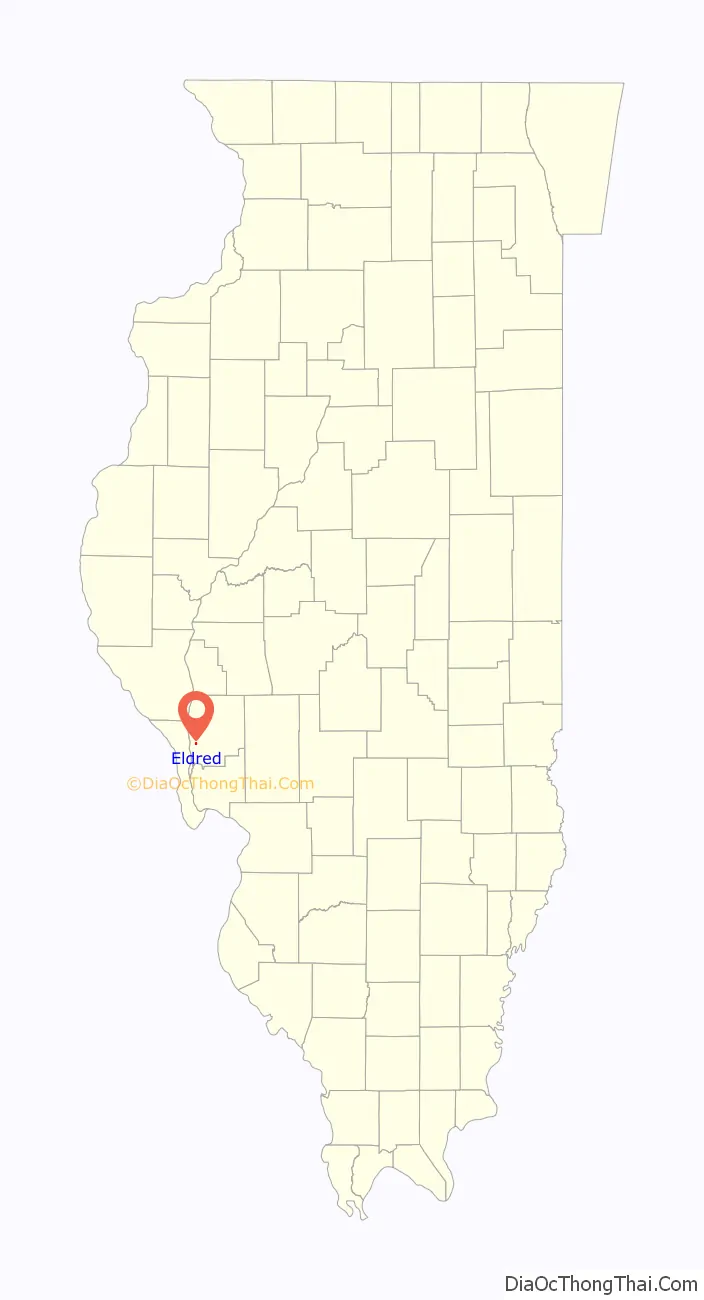
Eldred location map. Where is Eldred village?
History
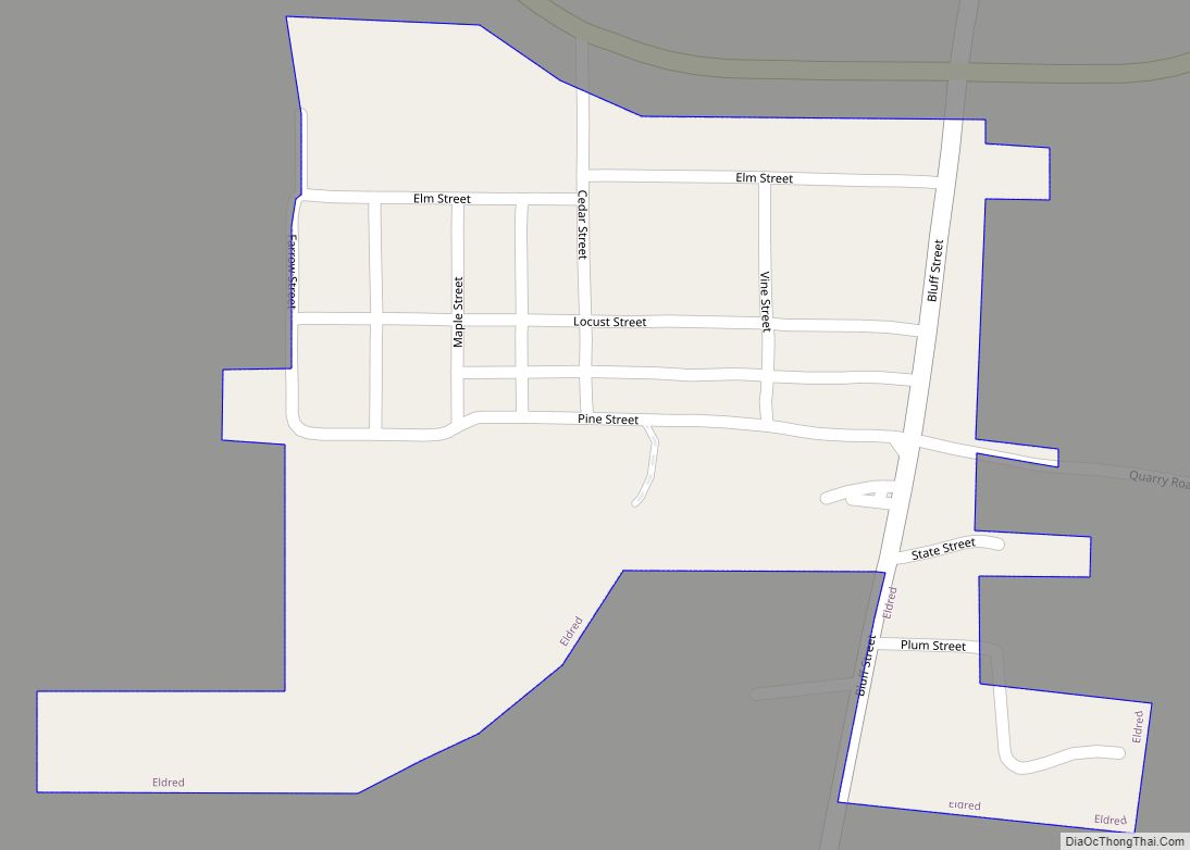
Eldred was founded because of its situation in the Illinois River Bottoms as a town that combined the values of a river and a bluff-side village. Eldred first appeared on river plat books as “Farrow Town” in the 1830s, but was founded sometime before the admittance of Illinois as a state in 1818. A few of its original founders, were of Scotch-Irish ancestry from the Upland South.
Eldred Road Map
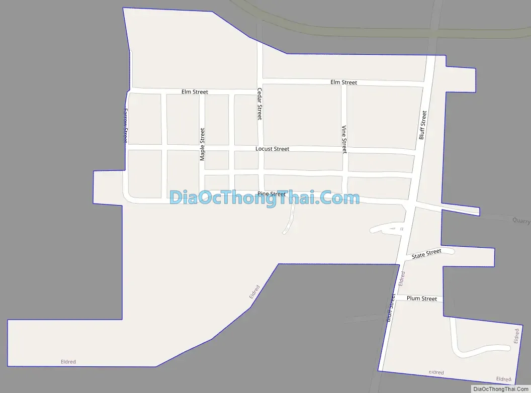
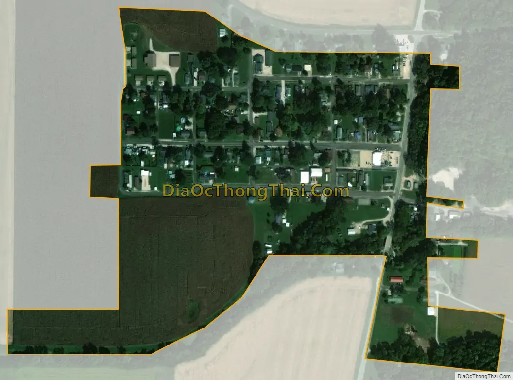
Eldred city Satellite Map
Geography
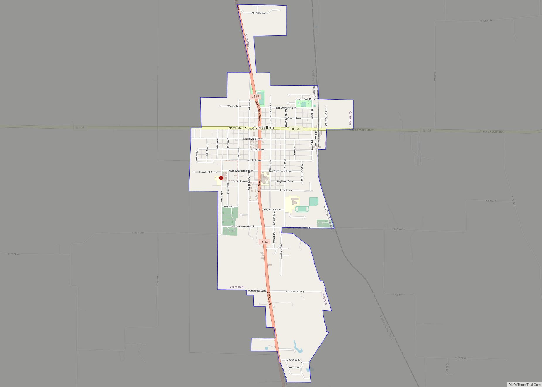
Eldred is located in southwestern Greene County at 39°17′12″N 90°33′12″W / 39.28667°N 90.55333°W / 39.28667; -90.55333 (39.286663, -90.553458). Illinois Route 108 passes through the village, leading east 8 miles (13 km) to Carrollton, the Greene County seat, and west 3 miles (5 km) to the Illinois River and the Kampsville ferry.
According to the 2010 census, Eldred has a total area of 0.13 square miles (0.34 km), all land.
Situated in the lower Illinois River Valley, 30 miles (48 km) north of the Illinois River’s confluence with the Mississippi River at Grafton, Eldred is nestled between the soaring limestone bluffs and the fertile bottom land that follow the Illinois in its southern extreme. The bottoms were systematically drained during the 1920s, which caused much contention among the villagers as to the merits of drainage. Nevertheless, the drainage occurred and created a great expanse of farmland for the counties along the river.
See also
Map of Illinois State and its subdivision:- Adams
- Alexander
- Bond
- Boone
- Brown
- Bureau
- Calhoun
- Carroll
- Cass
- Champaign
- Christian
- Clark
- Clay
- Clinton
- Coles
- Cook
- Crawford
- Cumberland
- De Kalb
- De Witt
- Douglas
- Dupage
- Edgar
- Edwards
- Effingham
- Fayette
- Ford
- Franklin
- Fulton
- Gallatin
- Greene
- Grundy
- Hamilton
- Hancock
- Hardin
- Henderson
- Henry
- Iroquois
- Jackson
- Jasper
- Jefferson
- Jersey
- Jo Daviess
- Johnson
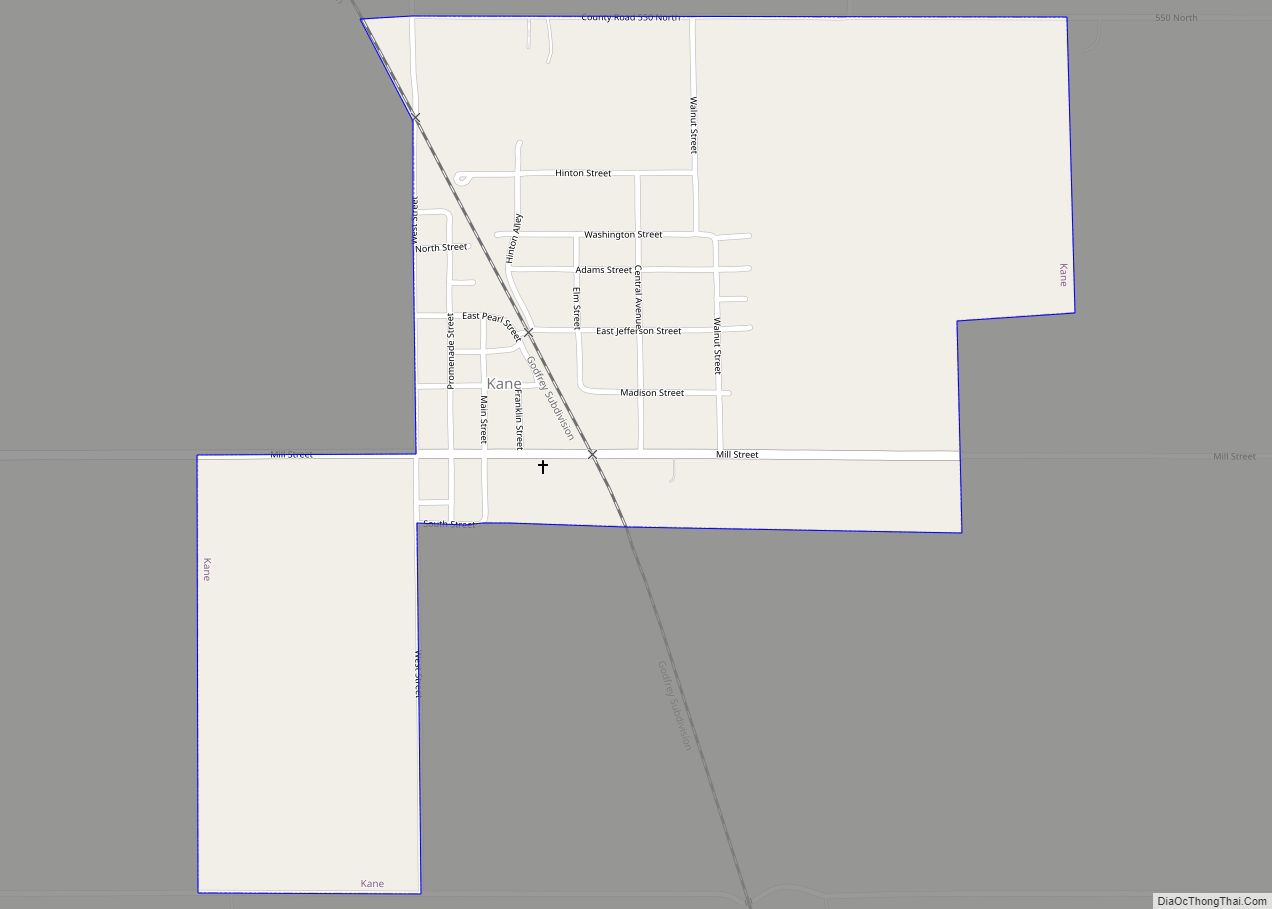
- Kane
- Kankakee
- Kendall
- Knox
- La Salle
- Lake
- Lake Michigan
- Lawrence
- Lee
- Livingston
- Logan
- Macon
- Macoupin
- Madison
- Marion
- Marshall
- Mason
- Massac
- McDonough
- McHenry
- McLean
- Menard
- Mercer
- Monroe
- Montgomery
- Morgan
- Moultrie
- Ogle
- Peoria
- Perry
- Piatt
- Pike
- Pope
- Pulaski
- Putnam
- Randolph
- Richland
- Rock Island
- Saint Clair
- Saline
- Sangamon
- Schuyler
- Scott
- Shelby
- Stark
- Stephenson
- Tazewell
- Union
- Vermilion
- Wabash
- Warren
- Washington
- Wayne
- White
- Whiteside
- Will
- Williamson
- Winnebago
- Woodford
- Alabama
- Alaska
- Arizona
- Arkansas
- California
- Colorado
- Connecticut
- Delaware
- District of Columbia
- Florida
- Georgia
- Hawaii
- Idaho
- Illinois
- Indiana
- Iowa
- Kansas
- Kentucky
- Louisiana
- Maine
- Maryland
- Massachusetts
- Michigan
- Minnesota
- Mississippi
- Missouri
- Montana
- Nebraska
- Nevada
- New Hampshire
- New Jersey
- New Mexico
- New York
- North Carolina
- North Dakota
- Ohio
- Oklahoma
- Oregon
- Pennsylvania
- Rhode Island
- South Carolina
- South Dakota
- Tennessee
- Texas
- Utah
- Vermont
- Virginia
- Washington
- West Virginia
- Wisconsin
- Wyoming