Elsah is a village in Jersey County, Illinois. As of the 2020 census, the village had a total population of 519. Michael Pitchford is the village’s current acting mayor.
It is the home of Principia College.
Elsah is a part of the Metro-East region and the St. Louis Metropolitan Statistical Area.
| Name: | Elsah village |
|---|---|
| LSAD Code: | 47 |
| LSAD Description: | village (suffix) |
| State: | Illinois |
| County: | Jersey County |
| Elevation: | 495 ft (151 m) |
| Total Area: | 1.09 sq mi (2.83 km²) |
| Land Area: | 1.09 sq mi (2.83 km²) |
| Water Area: | 0.00 sq mi (0.00 km²) |
| Total Population: | 519 |
| Population Density: | 475.27/sq mi (183.47/km²) |
| Area code: | 618 |
| FIPS code: | 1723776 |
| GNISfeature ID: | 2398818 |
| Website: | http://www.elsah.org/ |
Online Interactive Map
Click on ![]() to view map in "full screen" mode.
to view map in "full screen" mode.
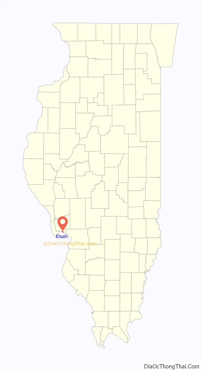
Elsah location map. Where is Elsah village?
History
James Semple, a local lawyer, prominent politician and United States Senator from Illinois, founded Elsah in 1853 and offered free lots to anyone who built houses with stone from his quarry. It is believed that he named the village of Elsah after Ailsa Craig, the last outcropping his family saw as they departed Scotland for the United States. By 1861, the village had grown to its current size, as geographic and economic limitations prevented further expansion.
Although Elsah has been described as the “New England of the Midwest,” the village is not a New England prototype derived from 18th century colonial styles. Rather, the architecture found in Elsah demonstrates 19th century styles and fashions including Greek Revival, Gothic Revival, Mansard, Italianate, Saltbox, and Gambrel. Elsah prospered as the main shipping point for the agricultural goods produced by the farmers of Jersey County. The village’s importance diminished with the coming of the railroad, later being revitalized when Principia College was established in the 1930s.
Eliestoun House was completed in 1890 by Alexander Wadsworth Longfellow Jr. The house is on the grounds of Principia College and named after “‘Elliestoun Tower’ on Castle Semple Loch” which is part of the Lands of Elliston in Scotland. Henry Turner and his wife Ada Ames had the house built. Ada is a descendant of James Semple.
Elsah remained mainly a quiet village until the opening of the Great River Road (Illinois Route 100) in 1964. Elsah is a community whose homes are privately owned. In 1973, the entire village was placed on the National Register of Historic Places.
The Great Flood of 1993 caused significant damage to many of the village’s structures.
The historic commercial district on LaSalle Street, which extends three blocks inward from the river, consists mainly of stone buildings; all but one of its pre-1861 buildings, including all four of the village’s historic taverns, still stand. The other two districts are both located on Mill Street and are primarily residential; the larger one is three blocks long and has an assortment of stone and brick houses, while the smaller section has a single block of Greek Revival homes.
Today, Elsah’s proximity to bald eagle watching locations make it a popular destination during the fall and winter seasons. Elsah’s location on the Sam Vadalabene Bike Trail also makes it a popular stop for bicyclists enjoying the Great River Road in any season.
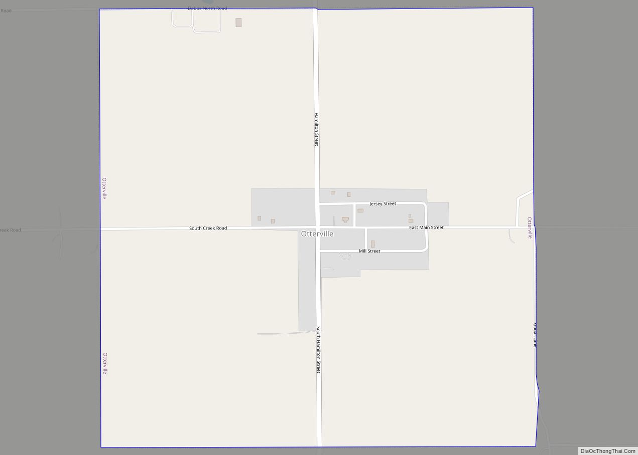
Elsah Road Map
Elsah city Satellite Map
Geography
Elsah is located at 38°57′13″N 90°21′17″W / 38.95361°N 90.35472°W / 38.95361; -90.35472 (38.953720, -90.354732).
According to the 2010 census, the village has a total area of 1.09 square miles (2.8 km), all land.
See also
Map of Illinois State and its subdivision:- Adams
- Alexander
- Bond
- Boone
- Brown
- Bureau
- Calhoun
- Carroll
- Cass
- Champaign
- Christian
- Clark
- Clay
- Clinton
- Coles
- Cook
- Crawford
- Cumberland
- De Kalb
- De Witt
- Douglas
- Dupage
- Edgar
- Edwards
- Effingham
- Fayette
- Ford
- Franklin
- Fulton
- Gallatin
- Greene
- Grundy
- Hamilton
- Hancock
- Hardin
- Henderson
- Henry
- Iroquois
- Jackson
- Jasper
- Jefferson
- Jersey
- Jo Daviess
- Johnson
- Kane
- Kankakee
- Kendall
- Knox
- La Salle
- Lake
- Lake Michigan
- Lawrence
- Lee
- Livingston
- Logan
- Macon
- Macoupin
- Madison
- Marion
- Marshall
- Mason
- Massac
- McDonough
- McHenry
- McLean
- Menard
- Mercer
- Monroe
- Montgomery
- Morgan
- Moultrie
- Ogle
- Peoria
- Perry
- Piatt
- Pike
- Pope
- Pulaski
- Putnam
- Randolph
- Richland
- Rock Island
- Saint Clair
- Saline
- Sangamon
- Schuyler
- Scott
- Shelby
- Stark
- Stephenson
- Tazewell
- Union
- Vermilion
- Wabash
- Warren
- Washington
- Wayne
- White
- Whiteside
- Will
- Williamson
- Winnebago
- Woodford
- Alabama
- Alaska
- Arizona
- Arkansas
- California
- Colorado
- Connecticut
- Delaware
- District of Columbia
- Florida
- Georgia
- Hawaii
- Idaho
- Illinois
- Indiana
- Iowa
- Kansas
- Kentucky
- Louisiana
- Maine
- Maryland
- Massachusetts
- Michigan
- Minnesota
- Mississippi
- Missouri
- Montana
- Nebraska
- Nevada
- New Hampshire
- New Jersey
- New Mexico
- New York
- North Carolina
- North Dakota
- Ohio
- Oklahoma
- Oregon
- Pennsylvania
- Rhode Island
- South Carolina
- South Dakota
- Tennessee
- Texas
- Utah
- Vermont
- Virginia
- Washington
- West Virginia
- Wisconsin
- Wyoming

