Farmington is a city in Fulton County & Peoria County, Illinois, United States. It is north of Canton, west of Peoria, southeast of Galesburg, and northeast of Macomb. The population was 2,448 at the 2010 census, down from 2,601 at the 2000 census. The public school system is Farmington Central Community Unit School District 265, which includes Farmington Central High School. Because it is in Fulton County, it is a part of the Canton Micropolitan Area and the wider Peoria Consolidated Statistical Area.
| Name: | Farmington city |
|---|---|
| LSAD Code: | 25 |
| LSAD Description: | city (suffix) |
| State: | Illinois |
| County: | Fulton County, Peoria County |
| Elevation: | 742 ft (226 m) |
| Total Area: | 1.50 sq mi (3.90 km²) |
| Land Area: | 1.50 sq mi (3.90 km²) |
| Water Area: | 0.00 sq mi (0.00 km²) |
| Total Population: | 2,389 |
| Population Density: | 1,587.38/sq mi (612.69/km²) |
| Area code: | 309 |
| FIPS code: | 1725531 |
| Website: | www.cityoffarmingtonil.com |
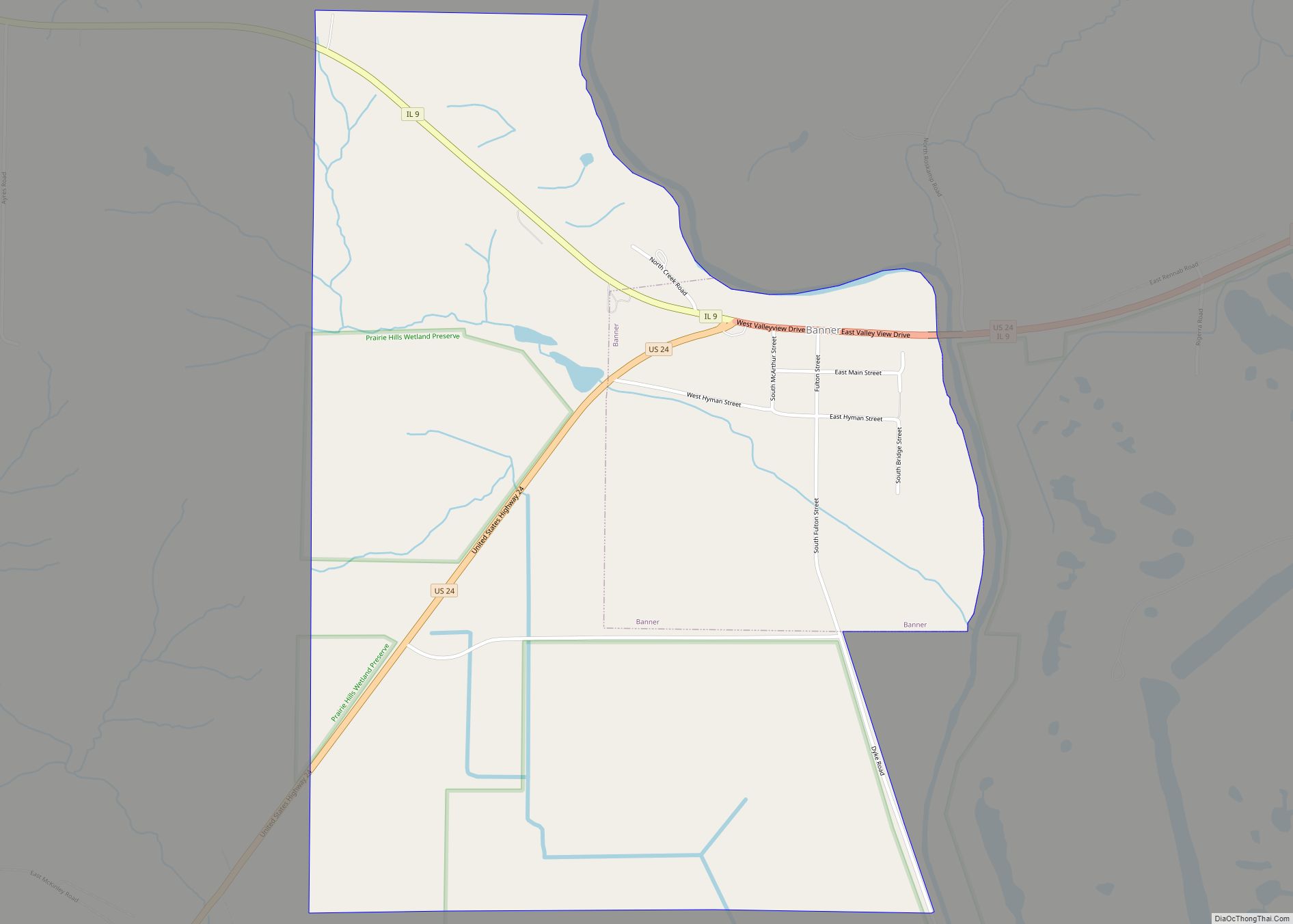
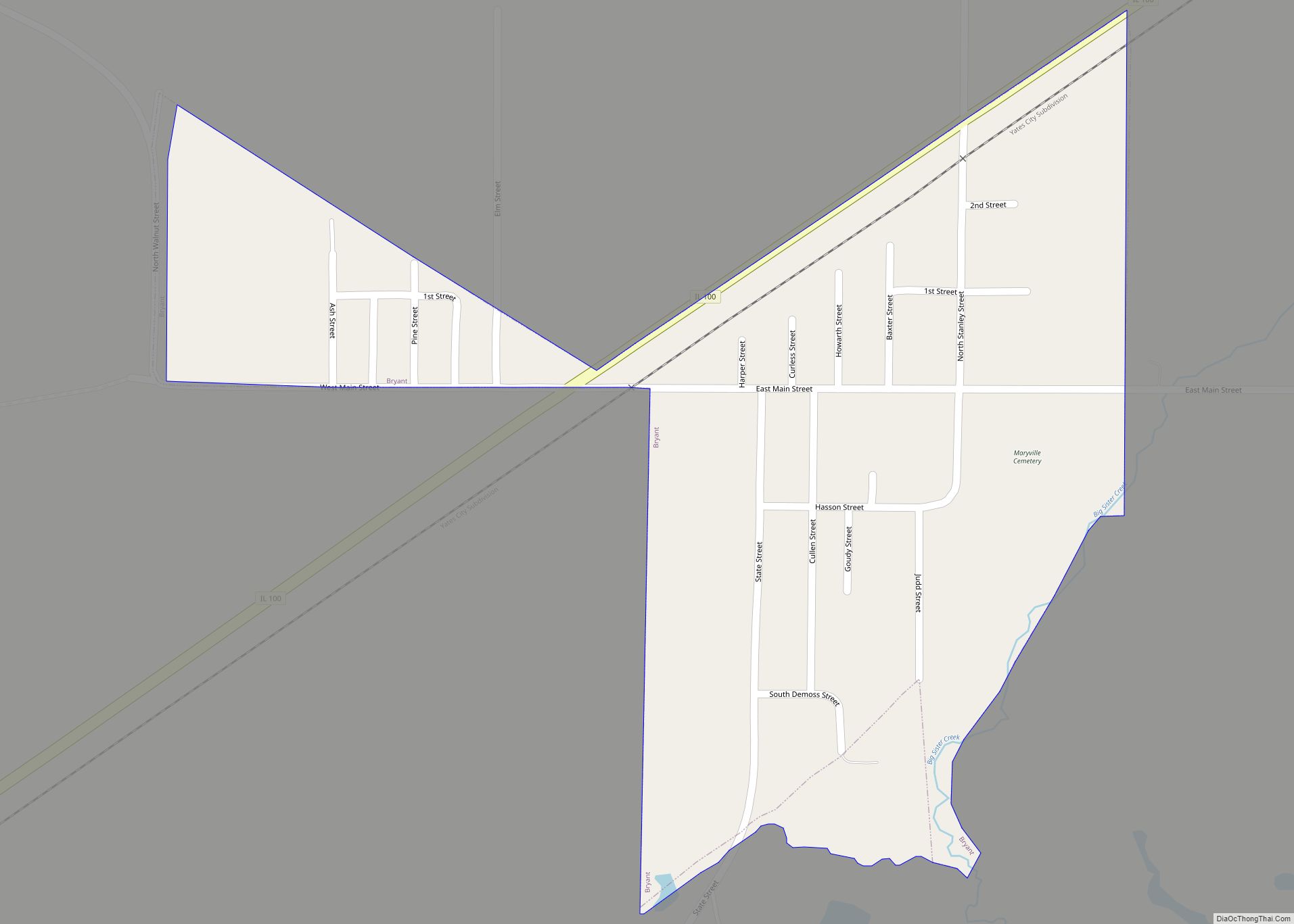
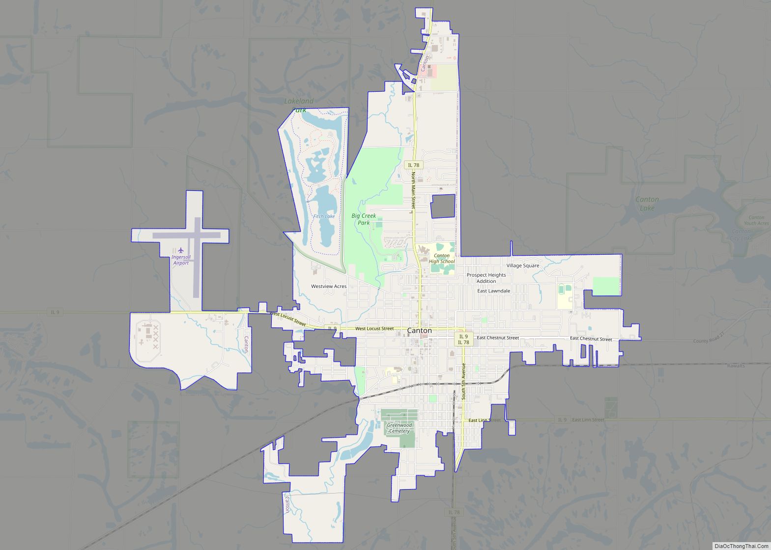
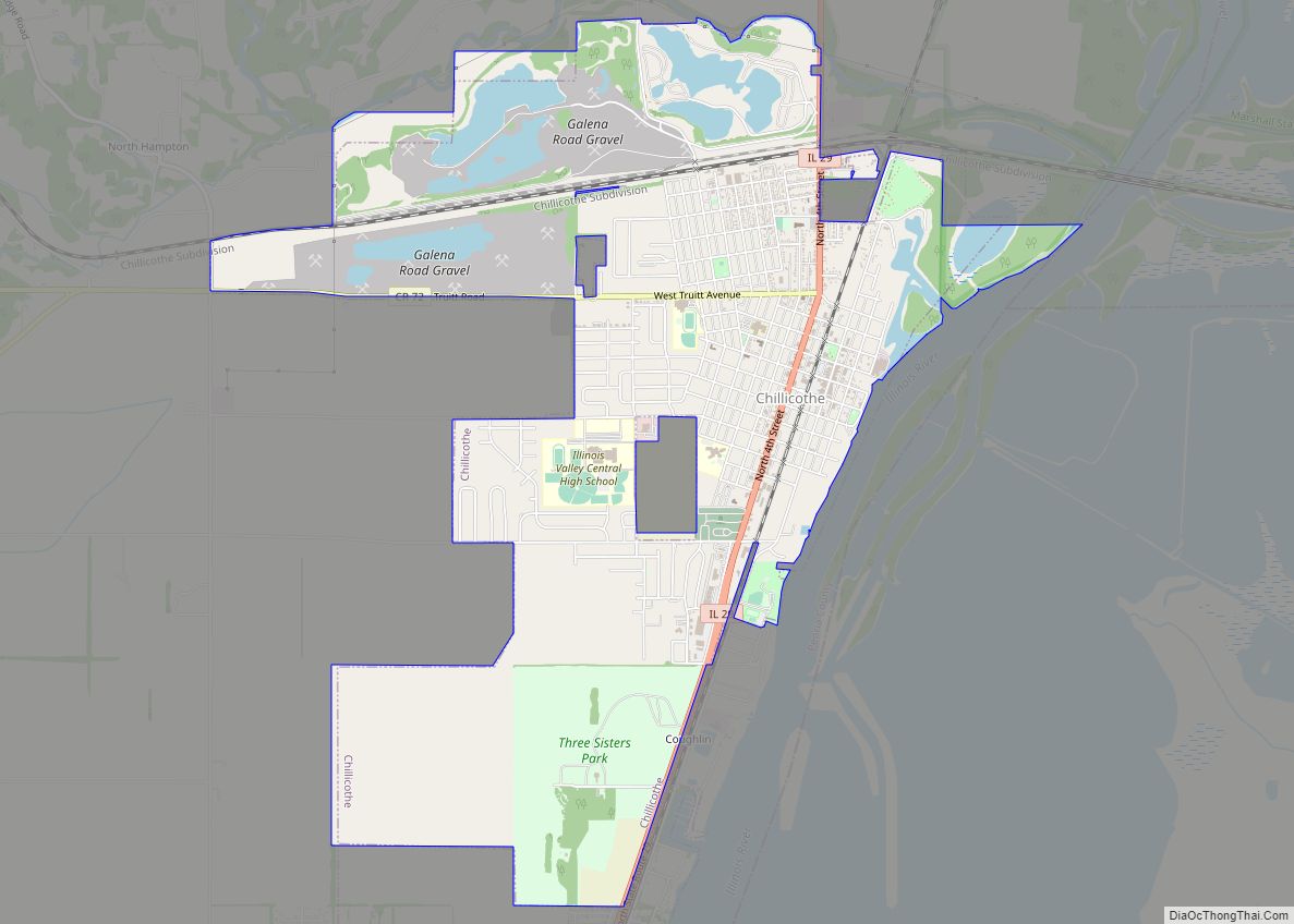
Online Interactive Map
Click on ![]() to view map in "full screen" mode.
to view map in "full screen" mode.
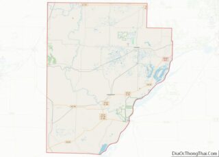
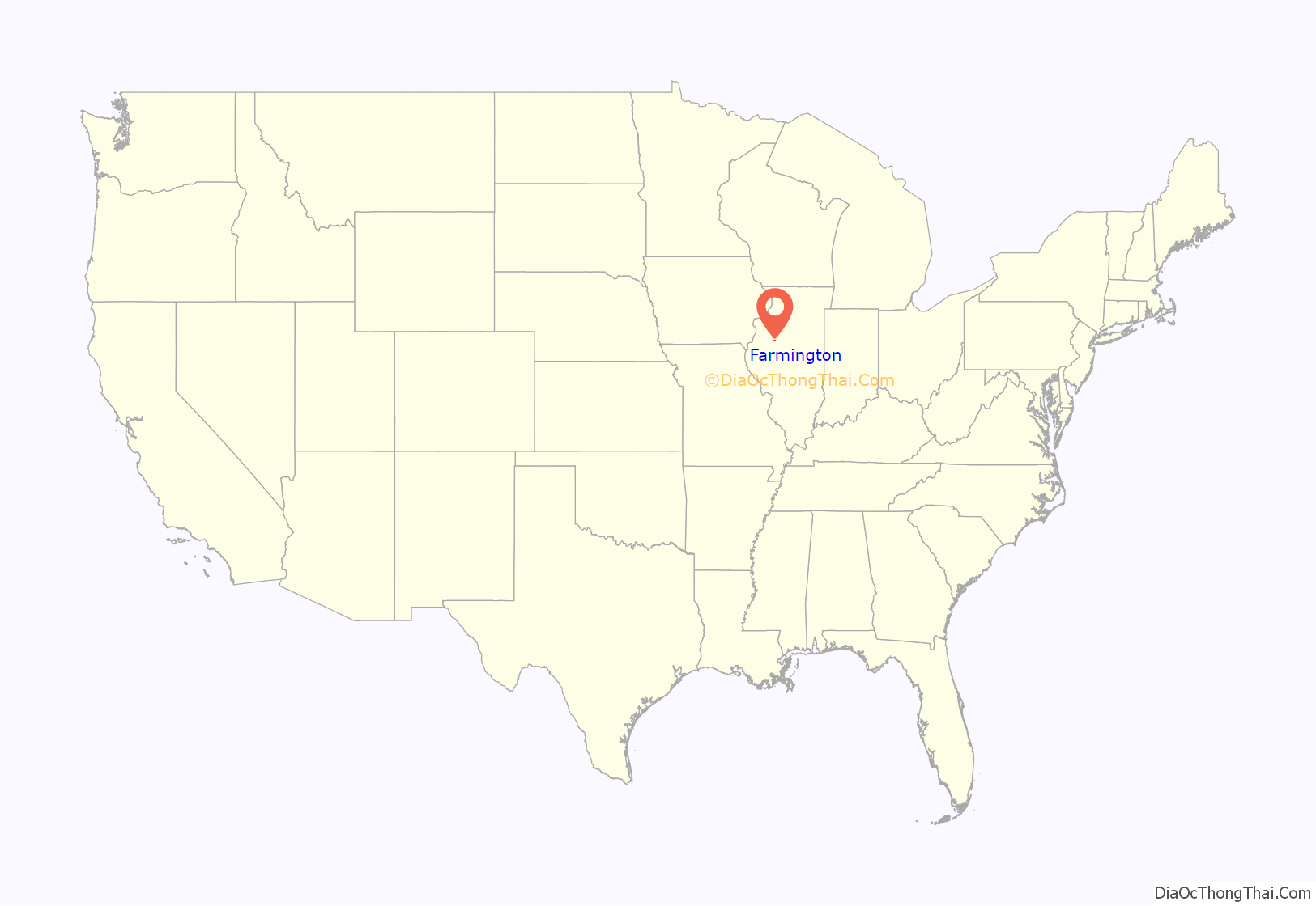
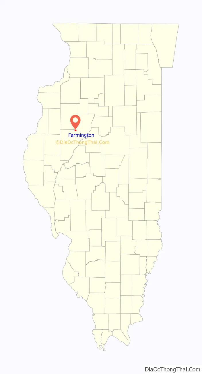
Farmington location map. Where is Farmington city?
History
Farmington was founded circa 1827. The area was first inhabited by members of the Potawatomi tribe. The city is named after Farmington, Connecticut.
Before and during the Civil War, the city was involved in the Underground Railroad, and there are several remaining homes that were safehouses. In the early 1900s, many Italian immigrants settled in Farmington.
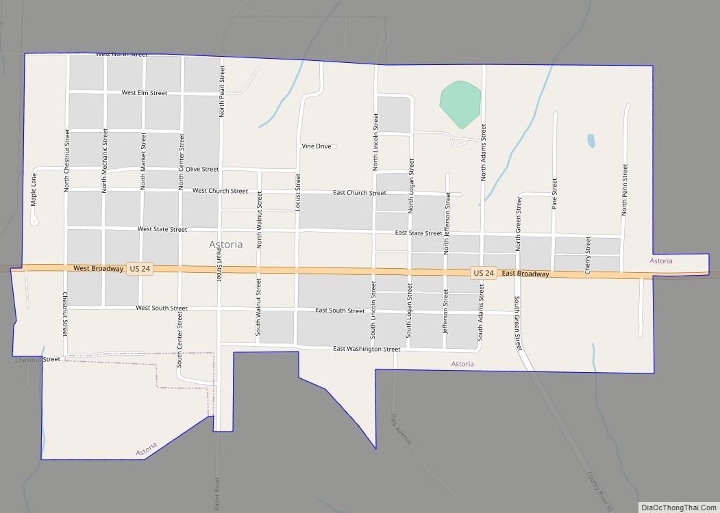
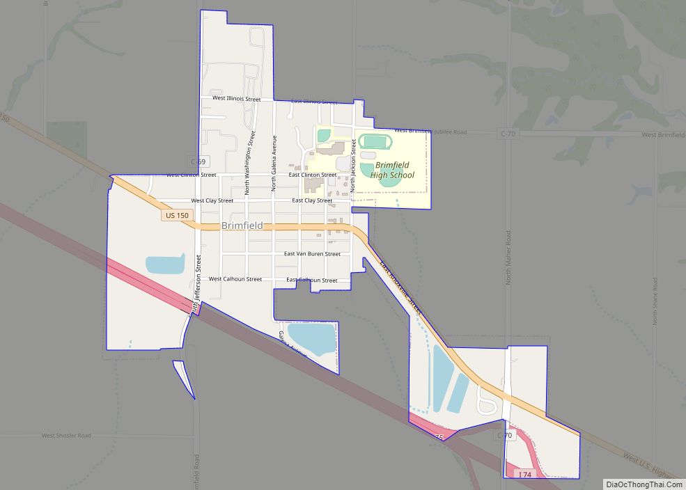
Farmington Road Map
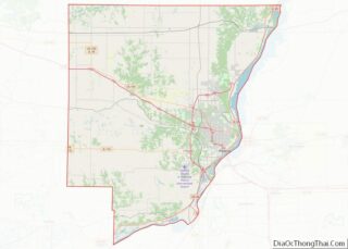
Farmington city Satellite Map

Geography
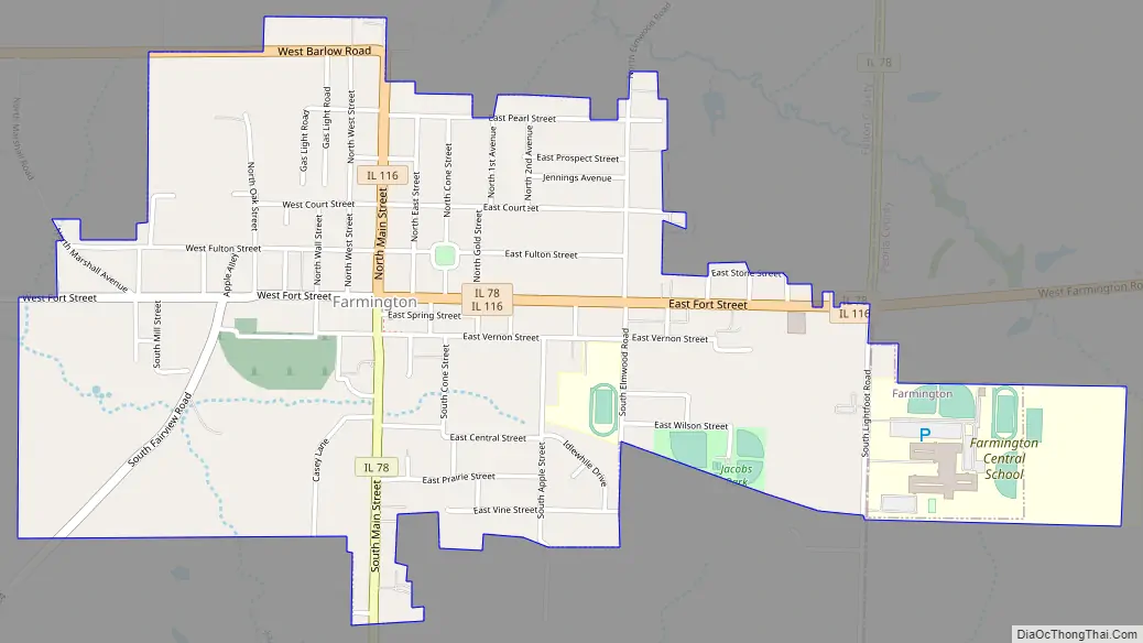
Farmington is located in the northeast corner of Fulton County. Illinois Routes 78 and 116 pass through the center of the city. IL 116 enters from the north as North Main Street, and IL 78 enters from the south as South Main Street. The two highways leave the city to the east on East Fort Street. IL 78 leads north 42 miles (68 km) to Kewanee and south 10 miles (16 km) to Canton, the largest city in Fulton County, while IL 116 leads east 22 miles (35 km) to Peoria and west 22 miles to St. Augustine.
According to the 2010 census, Farmington has a total area of 1.45 square miles (3.76 km), all land.
See also
Map of Illinois State and its subdivision:- Adams
- Alexander
- Bond
- Boone
- Brown
- Bureau
- Calhoun
- Carroll
- Cass
- Champaign
- Christian
- Clark
- Clay
- Clinton
- Coles
- Cook
- Crawford
- Cumberland
- De Kalb
- De Witt
- Douglas
- Dupage
- Edgar
- Edwards
- Effingham
- Fayette
- Ford
- Franklin
- Fulton
- Gallatin
- Greene
- Grundy
- Hamilton
- Hancock
- Hardin
- Henderson
- Henry
- Iroquois
- Jackson
- Jasper
- Jefferson
- Jersey
- Jo Daviess
- Johnson
- Kane
- Kankakee
- Kendall
- Knox
- La Salle
- Lake
- Lake Michigan
- Lawrence
- Lee
- Livingston
- Logan
- Macon
- Macoupin
- Madison
- Marion
- Marshall
- Mason
- Massac
- McDonough
- McHenry
- McLean
- Menard
- Mercer
- Monroe
- Montgomery
- Morgan
- Moultrie
- Ogle
- Peoria
- Perry
- Piatt
- Pike
- Pope
- Pulaski
- Putnam
- Randolph
- Richland
- Rock Island
- Saint Clair
- Saline
- Sangamon
- Schuyler
- Scott
- Shelby
- Stark
- Stephenson
- Tazewell
- Union
- Vermilion
- Wabash
- Warren
- Washington
- Wayne
- White
- Whiteside
- Will
- Williamson
- Winnebago
- Woodford
- Alabama
- Alaska
- Arizona
- Arkansas
- California
- Colorado
- Connecticut
- Delaware
- District of Columbia
- Florida
- Georgia
- Hawaii
- Idaho
- Illinois
- Indiana
- Iowa
- Kansas
- Kentucky
- Louisiana
- Maine
- Maryland
- Massachusetts
- Michigan
- Minnesota
- Mississippi
- Missouri
- Montana
- Nebraska
- Nevada
- New Hampshire
- New Jersey
- New Mexico
- New York
- North Carolina
- North Dakota
- Ohio
- Oklahoma
- Oregon
- Pennsylvania
- Rhode Island
- South Carolina
- South Dakota
- Tennessee
- Texas
- Utah
- Vermont
- Virginia
- Washington
- West Virginia
- Wisconsin
- Wyoming