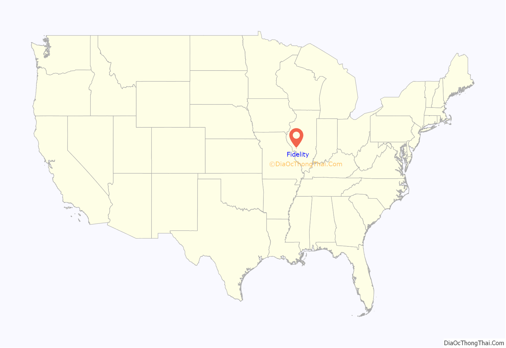
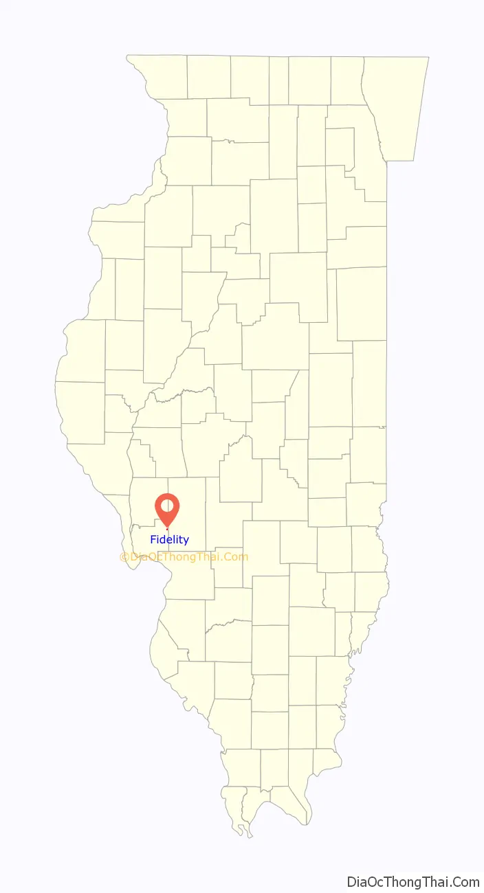
Fidelity is a village in Jersey County, Illinois, United States, located about thirty-five miles north of Saint Louis, Missouri. As of the 2020 census, the village had a total population of 96.
The village is usually noted for its postmark.
| Name: | Fidelity village |
|---|---|
| LSAD Code: | 47 |
| LSAD Description: | village (suffix) |
| State: | Illinois |
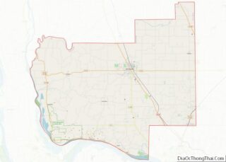
| County: | Jersey County |
| Elevation: | 633 ft (193 m) |
| Total Area: | 0.10 sq mi (0.26 km²) |
| Land Area: | 0.10 sq mi (0.26 km²) |
| Water Area: | 0.00 sq mi (0.00 km²) |
| Total Population: | 96 |
| Population Density: | 950.50/sq mi (365.86/km²) |
| Area code: | 618 |
| FIPS code: | 1725960 |
| GNISfeature ID: | 2398873 |
Online Interactive Map
Click on ![]() to view map in "full screen" mode.
to view map in "full screen" mode.
Fidelity location map. Where is Fidelity village?
History
In 1829, people from Tennessee reportedly traveled across this site. According to local legend, a horse belonging to settler Joseph Russell went lame, stranding Russell, who was offered a replacement horse by another settler, Samuel Simmons.
The legend continues that Russell replied, “That’s true fidelity.”
In another version of events, Joseph Russell and his brother William were traveling from Hawkins County, TN, to Missouri. They were looking for cheap, good land. They set up camp in present day Fidelity. They hobbled their horses and went to sleep. When they woke, they found that William’s horse had tried to escape and injured its foot. Stuck with only one horse, William said “Joseph, you take my horse to finish the trip and get back to East Tennessee, and I’ll stay here and keep your horse with me until his foot gets well.” William exclaimed “Well, that’s what I call real fidelity!” William continued to St Louis, surveyed a tract of land, and went back to Tennessee. On July 31, 1849, William wrote to Joseph about his intentions to name the town ” Fidelity.”
Simmons built a log cabin there, and in 1850, Russell and his brother also settled in the area. The Russell brothers are credited with having ensured the town was officially named Fidelity. A post office was established in the village in 1854. During the mid-20th century, Fidelity was reportedly the site of “a small Army barracks, grain elevator, several doctors and dentists, a blacksmith shop and grocery stores.”
Since then, Fidelity has become a tiny village made up mostly of small homes. The post office is now the only remaining business and its postmark has enjoyed some popularity for use on Valentine’s day greetings, with several hundred requests for cancellations received from addresses both in the United States and around the world each year.
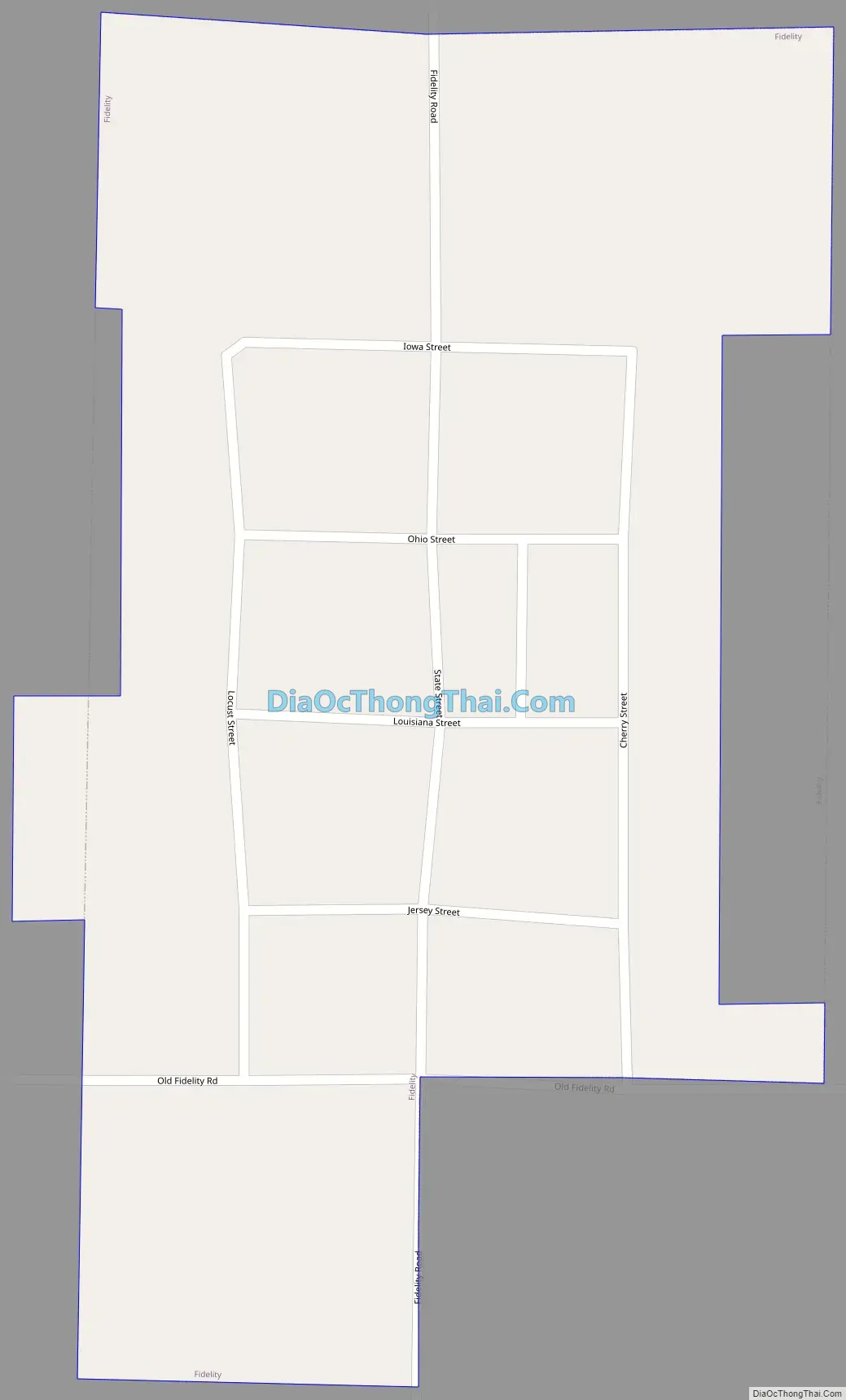
Fidelity Road Map
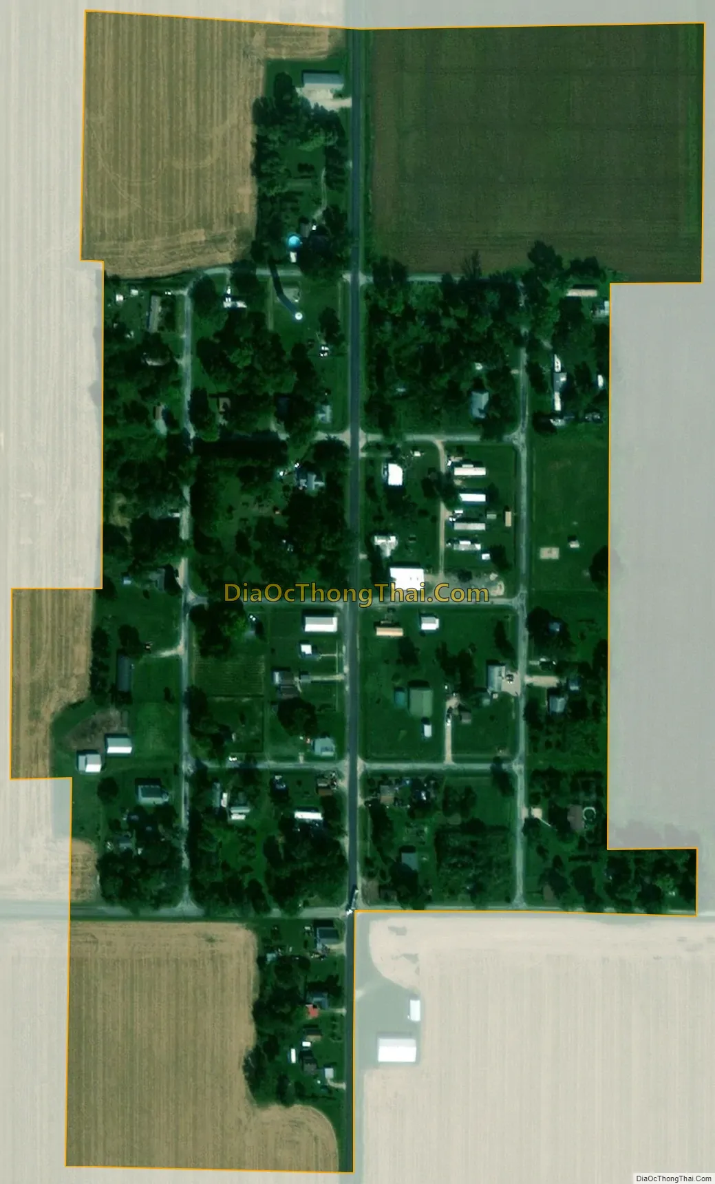
Fidelity city Satellite Map
Geography
Fidelity is located at 39°9′17″N 90°9′50″W / 39.15472°N 90.16389°W / 39.15472; -90.16389 (39.154636, -90.163947).
According to the 2010 census, Fidelity has a total area of 0.11 square miles (0.28 km), all land.
See also
Map of Illinois State and its subdivision:- Adams
- Alexander
- Bond
- Boone
- Brown
- Bureau
- Calhoun
- Carroll
- Cass
- Champaign
- Christian
- Clark
- Clay
- Clinton
- Coles
- Cook
- Crawford
- Cumberland
- De Kalb
- De Witt
- Douglas
- Dupage
- Edgar
- Edwards
- Effingham
- Fayette
- Ford
- Franklin
- Fulton
- Gallatin
- Greene
- Grundy
- Hamilton
- Hancock
- Hardin
- Henderson
- Henry
- Iroquois
- Jackson
- Jasper
- Jefferson
- Jersey
- Jo Daviess
- Johnson
- Kane
- Kankakee
- Kendall
- Knox
- La Salle
- Lake
- Lake Michigan
- Lawrence
- Lee
- Livingston
- Logan
- Macon
- Macoupin
- Madison
- Marion
- Marshall
- Mason
- Massac
- McDonough
- McHenry
- McLean
- Menard
- Mercer
- Monroe
- Montgomery
- Morgan
- Moultrie
- Ogle
- Peoria
- Perry
- Piatt
- Pike
- Pope
- Pulaski
- Putnam
- Randolph
- Richland
- Rock Island
- Saint Clair
- Saline
- Sangamon
- Schuyler
- Scott
- Shelby
- Stark
- Stephenson
- Tazewell
- Union
- Vermilion
- Wabash
- Warren
- Washington
- Wayne
- White
- Whiteside
- Will
- Williamson
- Winnebago
- Woodford
- Alabama
- Alaska
- Arizona
- Arkansas
- California
- Colorado
- Connecticut
- Delaware
- District of Columbia
- Florida
- Georgia
- Hawaii
- Idaho
- Illinois
- Indiana
- Iowa
- Kansas
- Kentucky
- Louisiana
- Maine
- Maryland
- Massachusetts
- Michigan
- Minnesota
- Mississippi
- Missouri
- Montana
- Nebraska
- Nevada
- New Hampshire
- New Jersey
- New Mexico
- New York
- North Carolina
- North Dakota
- Ohio
- Oklahoma
- Oregon
- Pennsylvania
- Rhode Island
- South Carolina
- South Dakota
- Tennessee
- Texas
- Utah
- Vermont
- Virginia
- Washington
- West Virginia
- Wisconsin
- Wyoming