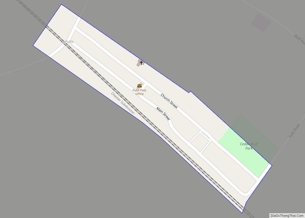
Fults is a village in the Renault precinct of Monroe County, Illinois, United States. The population was 28 at the 2020 census. It is located entirely within the American Bottom floodplain of the Mississippi River.
| Name: | Fults village |
|---|---|
| LSAD Code: | 47 |
| LSAD Description: | village (suffix) |
| State: | Illinois |
| County: | Monroe County |
| Founded: | April 12, 1937 |
| Elevation: | 394 ft (120 m) |
| Total Area: | 0.05 sq mi (0.14 km²) |
| Land Area: | 0.05 sq mi (0.14 km²) |
| Water Area: | 0.00 sq mi (0.00 km²) |
| Total Population: | 28 |
| Population Density: | 528.30/sq mi (204.80/km²) |
| ZIP code: | 62244 |
| Area code: | 618 |
| FIPS code: | 1728170 |
Online Interactive Map
Click on ![]() to view map in "full screen" mode.
to view map in "full screen" mode.
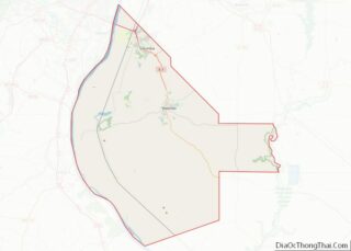
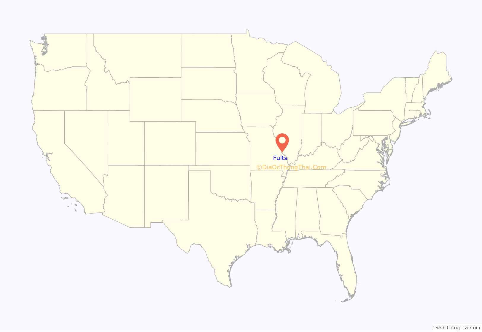
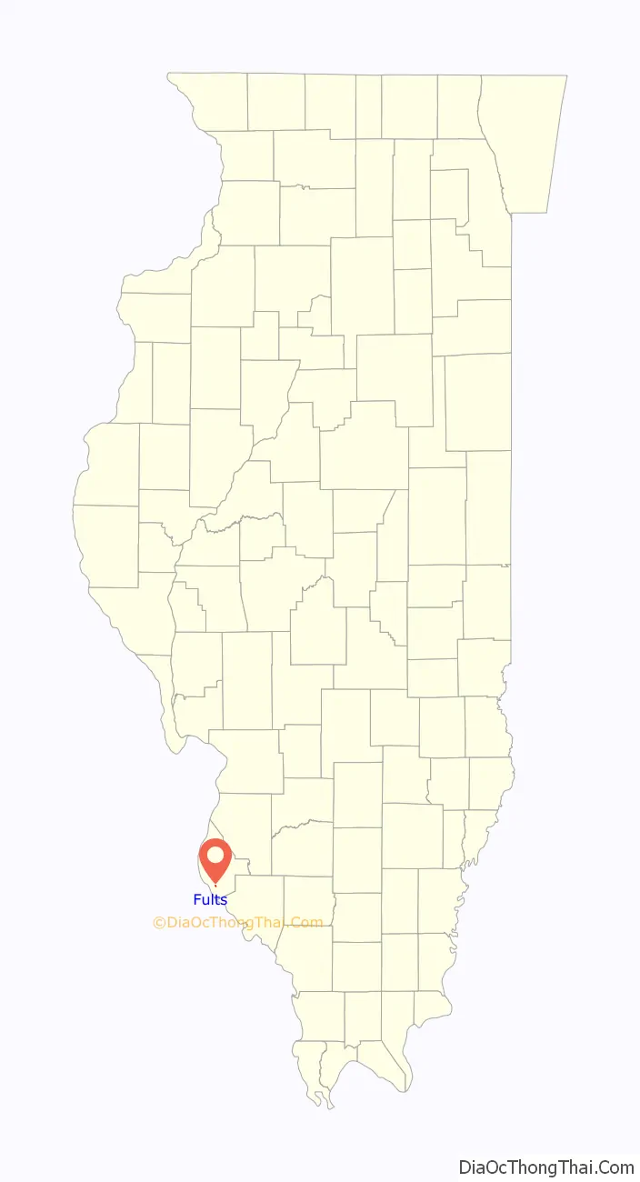
Fults location map. Where is Fults village?
History
The village was named after Jacob Fults, born in Pennsylvania in 1793 to German immigrants. Fults, after leaving the service of the United States during the War of 1812 in 1817, settled on Moredock Lake. He then moved to the Renault precinct, first up Braun’s Hollow, then in 1829 to the settlement known at the time as “Braunsberg”, which would eventually take his name, until his death in 1841.
A site on the bluffs just north of Fults, overlooking the Bottoms, is known as Saltpeter Cave and took its name from the quantities of bat guano mined there for potassium nitrate, which was used in the local manufacture of black powder by the French at Fort de Chartres and later inhabitants. This cave, cut into the side of the bluffs and an excellent defensive position, was one of the last refuges for Native Americans in the region. It was a popular site in the area for rappelling and hiking, until access to it was restricted in the aftermath of the Great Flood of 1993 and several accidents at the site.
Fults Road Map
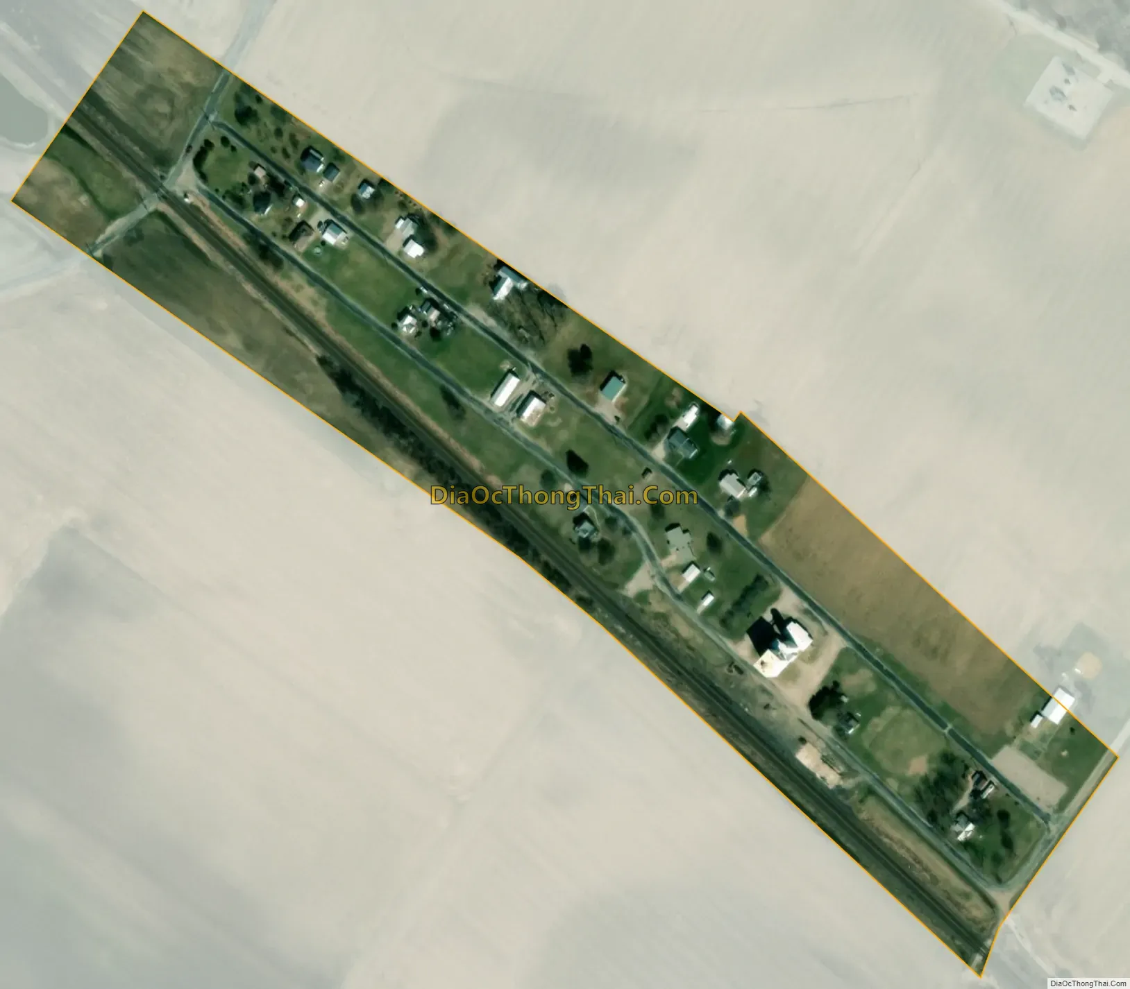
Fults city Satellite Map
Geography
Fults is located in southern Monroe County at 38°9′56″N 90°12′52″W / 38.16556°N 90.21444°W / 38.16556; -90.21444 (38.165688, -90.214395). It is 15 miles (24 km) south-southwest of Waterloo, the county seat, and 9 miles (14 km) northwest of Prairie du Rocher. The Mississippi River is 3 miles (5 km) to the southwest, while the bluffs that mark the edge of the floodplain rise a quarter mile to the northeast of the village.
According to the U.S. Census Bureau, the village has a total area of 0.05 square miles (0.13 km), all land.
See also
Map of Illinois State and its subdivision:- Adams
- Alexander
- Bond
- Boone
- Brown
- Bureau
- Calhoun
- Carroll
- Cass
- Champaign
- Christian
- Clark
- Clay
- Clinton
- Coles
- Cook
- Crawford
- Cumberland
- De Kalb
- De Witt
- Douglas
- Dupage
- Edgar
- Edwards
- Effingham
- Fayette
- Ford
- Franklin
- Fulton
- Gallatin
- Greene
- Grundy
- Hamilton
- Hancock
- Hardin
- Henderson
- Henry
- Iroquois
- Jackson
- Jasper
- Jefferson
- Jersey
- Jo Daviess
- Johnson
- Kane
- Kankakee
- Kendall
- Knox
- La Salle
- Lake
- Lake Michigan
- Lawrence
- Lee
- Livingston
- Logan
- Macon
- Macoupin
- Madison
- Marion
- Marshall
- Mason
- Massac
- McDonough
- McHenry
- McLean
- Menard
- Mercer
- Monroe
- Montgomery
- Morgan
- Moultrie
- Ogle
- Peoria
- Perry
- Piatt
- Pike
- Pope
- Pulaski
- Putnam
- Randolph
- Richland
- Rock Island
- Saint Clair
- Saline
- Sangamon
- Schuyler
- Scott
- Shelby
- Stark
- Stephenson
- Tazewell
- Union
- Vermilion
- Wabash
- Warren
- Washington
- Wayne
- White
- Whiteside
- Will
- Williamson
- Winnebago
- Woodford
- Alabama
- Alaska
- Arizona
- Arkansas
- California
- Colorado
- Connecticut
- Delaware
- District of Columbia
- Florida
- Georgia
- Hawaii
- Idaho
- Illinois
- Indiana
- Iowa
- Kansas
- Kentucky
- Louisiana
- Maine
- Maryland
- Massachusetts
- Michigan
- Minnesota
- Mississippi
- Missouri
- Montana
- Nebraska
- Nevada
- New Hampshire
- New Jersey
- New Mexico
- New York
- North Carolina
- North Dakota
- Ohio
- Oklahoma
- Oregon
- Pennsylvania
- Rhode Island
- South Carolina
- South Dakota
- Tennessee
- Texas
- Utah
- Vermont
- Virginia
- Washington
- West Virginia
- Wisconsin
- Wyoming