Gilberts is a village in Kane County, Illinois, United States. The population was 8,366 at the 2020 census.
| Name: | Gilberts village |
|---|---|
| LSAD Code: | 47 |
| LSAD Description: | village (suffix) |
| State: | Illinois |
| County: | Kane County |
| Total Area: | 5.49 sq mi (14.22 km²) |
| Land Area: | 5.49 sq mi (14.22 km²) |
| Water Area: | 0.00 sq mi (0.00 km²) |
| Total Population: | 8,366 |
| Population Density: | 1,524.14/sq mi (588.44/km²) |
| FIPS code: | 1729171 |
| Website: | villageofgilberts.com |
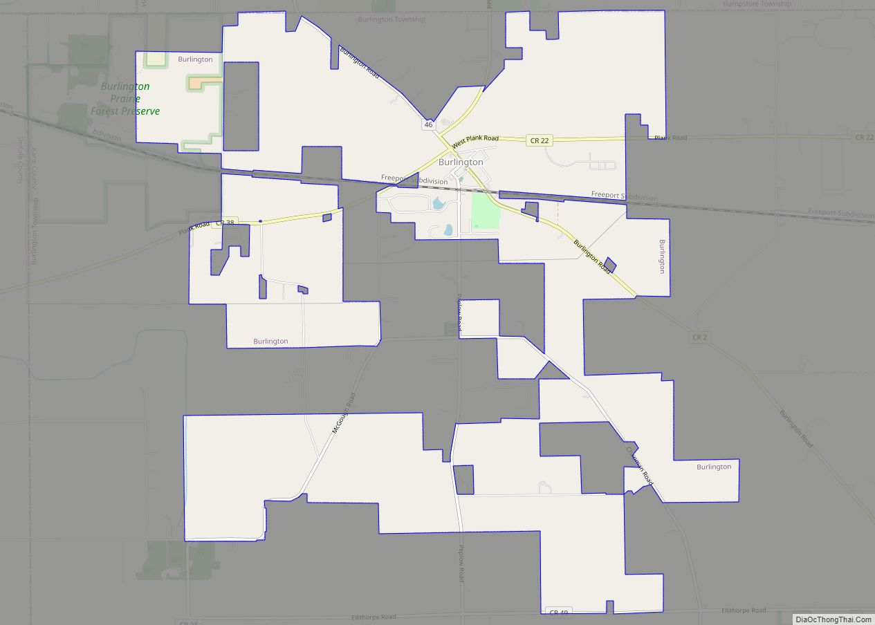
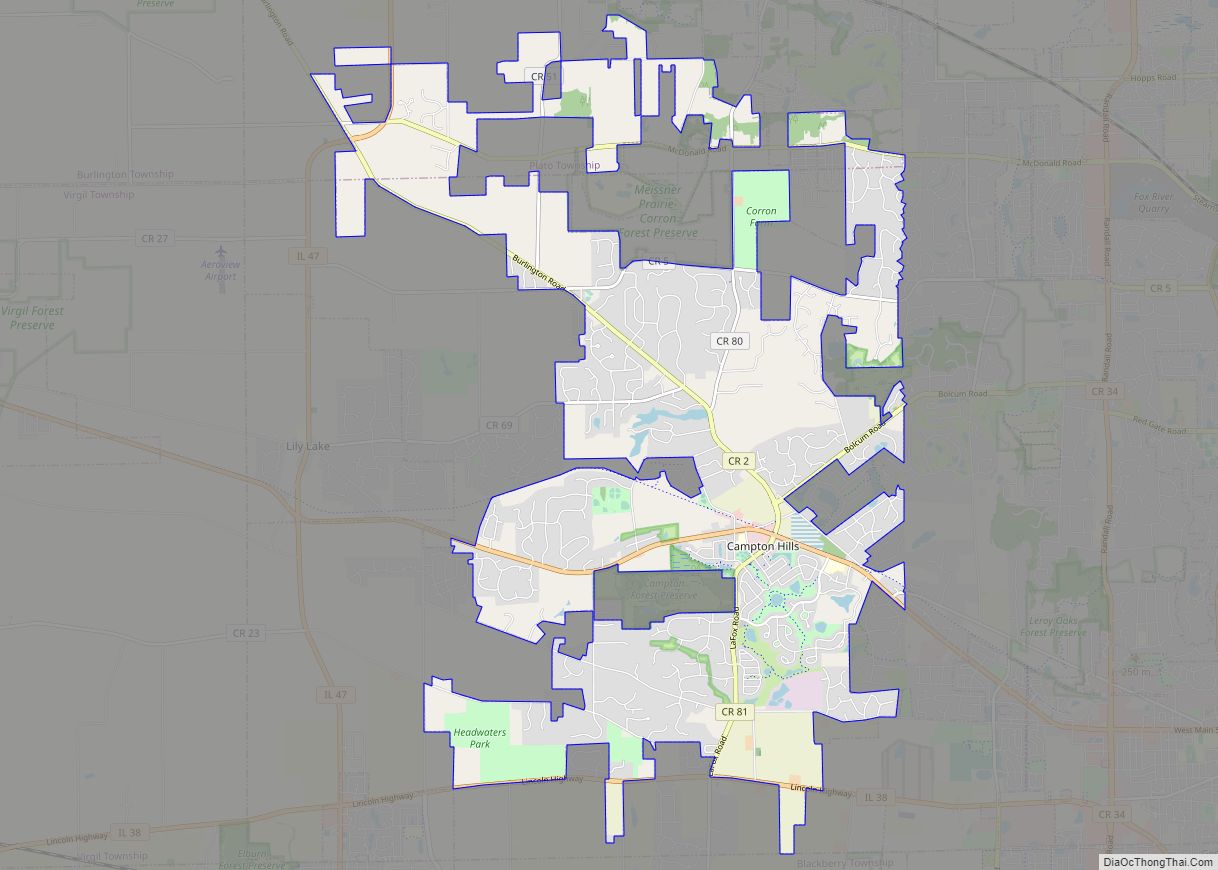
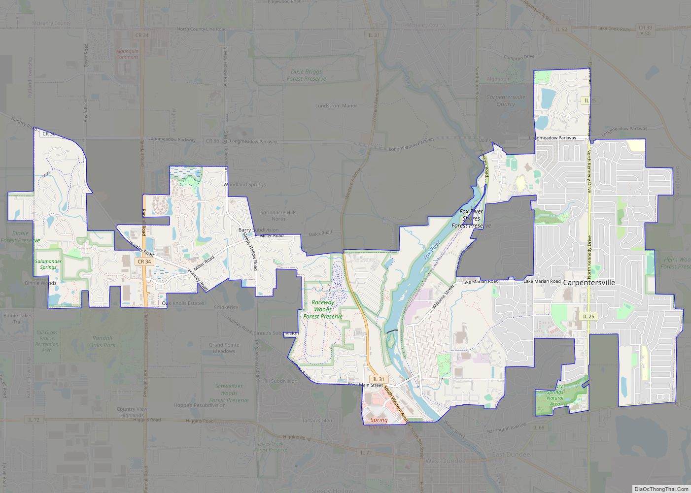
Online Interactive Map
Click on ![]() to view map in "full screen" mode.
to view map in "full screen" mode.
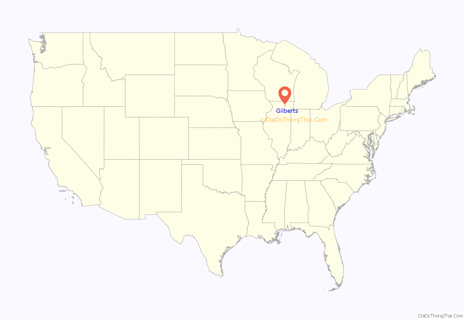
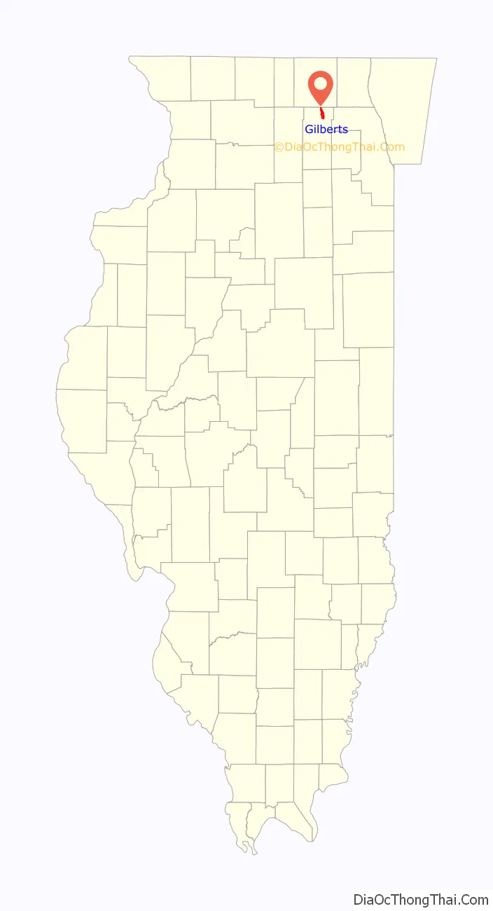
Gilberts location map. Where is Gilberts village?
History
The beginnings of recorded human settlement in the area of Gilberts was recorded in the War of 1812, when General Scott began waging war against the native American tribes that inhabited the area, including the Blackhawks, Alconquin, and Potawatomi. Beginning in the 1820s, European settlement in the region began. In 1840, the Potawatomi sold their land and moved westwards, making the entire area now inhabited by European settlers. In 1852, Gilberts Station opened, named after the Gilberts, the largest landowners in the area. Specifically, Amasa Gilbert, a pioneer who was a part of the Gilberts family. In 1855, the Gilberts sold their land to Elijah Wilcox.
Opening in 1907, the Elgin and Belvidere Electric Company opened the “Elgin and Belvidere Electric Railway”, connecting Elgin, Illinois to Belvidere, Illinois, with a stop at Gilberts. During the Great Depression, many businesses in the area went bankrupt, including the Elgin and Belvidere Electric Company in 1930. In 1930, Route 72 also opened up, connecting Gilberts to the outside world.
In 1988, George Bush visited the town during his election campaign.
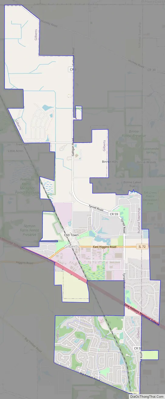
Gilberts Road Map
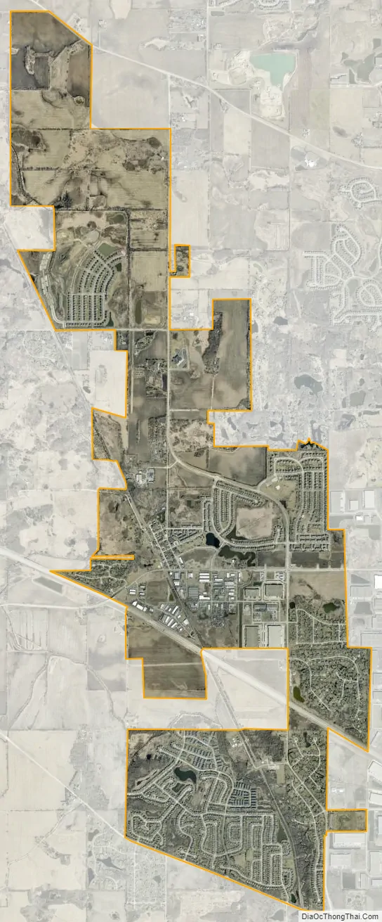
Gilberts city Satellite Map
Geography
Gilberts is located in northern Kane County at 42°6′2″N 88°21′58″W / 42.10056°N 88.36611°W / 42.10056; -88.36611 (42.100511, -88.366057). Most of the village is in Rutland Township, with a small portion crossing to the east into Dundee Township. The village limits extend north to the McHenry County line. Gilberts is bordered to the east by the village of West Dundee and the city of Elgin.
According to the 2010 census, Gilberts has a total area of 5.558 square miles (14.40 km), of which 5.55 square miles (14.37 km) (or 99.86%) is land and 0.008 square miles (0.02 km) (or 0.14%) is water.
See also
Map of Illinois State and its subdivision:- Adams
- Alexander
- Bond
- Boone
- Brown
- Bureau
- Calhoun
- Carroll
- Cass
- Champaign
- Christian
- Clark
- Clay
- Clinton
- Coles
- Cook
- Crawford
- Cumberland
- De Kalb
- De Witt
- Douglas
- Dupage
- Edgar
- Edwards
- Effingham
- Fayette
- Ford
- Franklin
- Fulton
- Gallatin
- Greene
- Grundy
- Hamilton
- Hancock
- Hardin
- Henderson
- Henry
- Iroquois
- Jackson
- Jasper
- Jefferson
- Jersey
- Jo Daviess
- Johnson
- Kane
- Kankakee
- Kendall
- Knox
- La Salle
- Lake
- Lake Michigan
- Lawrence
- Lee
- Livingston
- Logan
- Macon
- Macoupin
- Madison
- Marion
- Marshall
- Mason
- Massac
- McDonough
- McHenry
- McLean
- Menard
- Mercer
- Monroe
- Montgomery
- Morgan
- Moultrie
- Ogle
- Peoria
- Perry
- Piatt
- Pike
- Pope
- Pulaski
- Putnam
- Randolph
- Richland
- Rock Island
- Saint Clair
- Saline
- Sangamon
- Schuyler
- Scott
- Shelby
- Stark
- Stephenson
- Tazewell
- Union
- Vermilion
- Wabash
- Warren
- Washington
- Wayne
- White
- Whiteside
- Will
- Williamson
- Winnebago
- Woodford
- Alabama
- Alaska
- Arizona
- Arkansas
- California
- Colorado
- Connecticut
- Delaware
- District of Columbia
- Florida
- Georgia
- Hawaii
- Idaho
- Illinois
- Indiana
- Iowa
- Kansas
- Kentucky
- Louisiana
- Maine
- Maryland
- Massachusetts
- Michigan
- Minnesota
- Mississippi
- Missouri
- Montana
- Nebraska
- Nevada
- New Hampshire
- New Jersey
- New Mexico
- New York
- North Carolina
- North Dakota
- Ohio
- Oklahoma
- Oregon
- Pennsylvania
- Rhode Island
- South Carolina
- South Dakota
- Tennessee
- Texas
- Utah
- Vermont
- Virginia
- Washington
- West Virginia
- Wisconsin
- Wyoming