Hamilton is a city in Hancock County, Illinois, United States. The population was 2,951 at the 2010 census, a decline from 3,029 in 2000. The city is located directly across the Mississippi River from Keokuk, Iowa. Hamilton is the largest city in Hancock County.
| Name: | Hamilton city |
|---|---|
| LSAD Code: | 25 |
| LSAD Description: | city (suffix) |
| State: | Illinois |
| County: | Hancock County |
| Elevation: | 495 ft (151 m) |
| Total Area: | 5.36 sq mi (13.87 km²) |
| Land Area: | 3.56 sq mi (9.22 km²) |
| Water Area: | 1.79 sq mi (4.65 km²) 33.46% |
| Total Population: | 2,753 |
| Population Density: | 773.10/sq mi (298.48/km²) |
| ZIP code: | 62341 |
| Area code: | 217 |
| FIPS code: | 1732434 |
| GNISfeature ID: | 2394275 |
| Website: | www.hamiltonillinois.org |
Online Interactive Map
Click on ![]() to view map in "full screen" mode.
to view map in "full screen" mode.
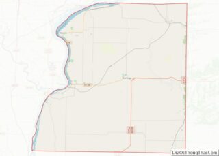
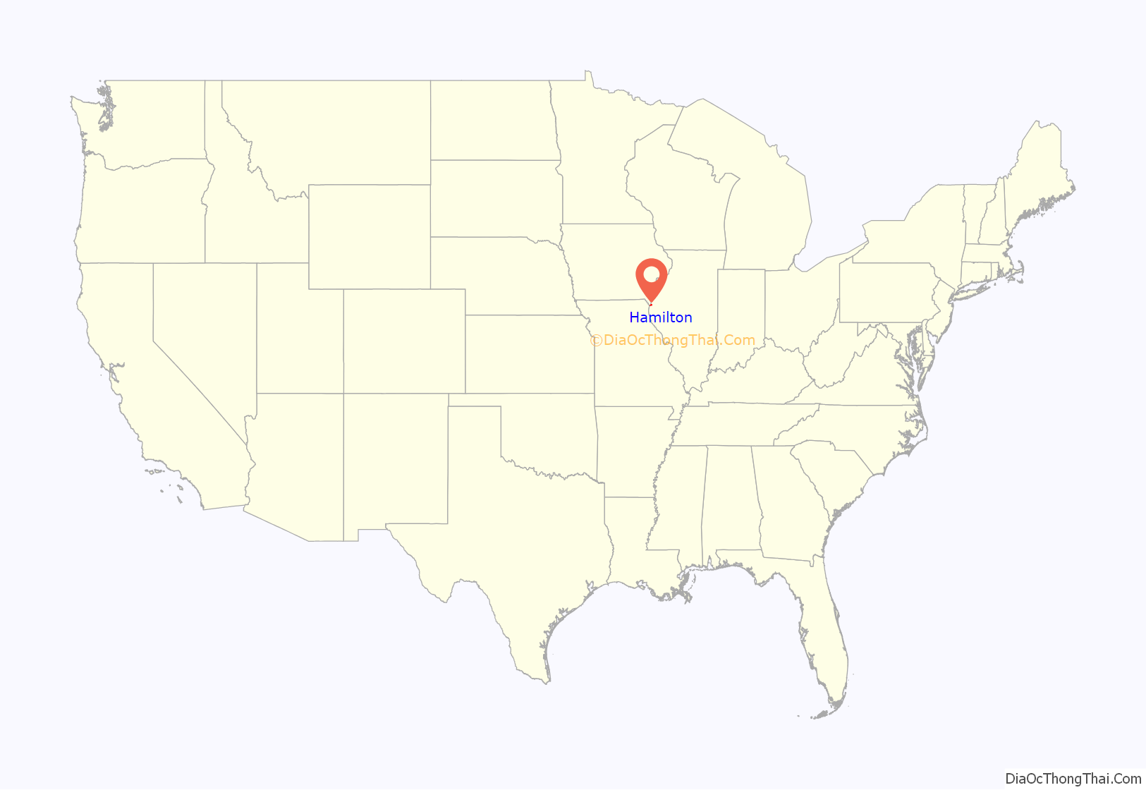
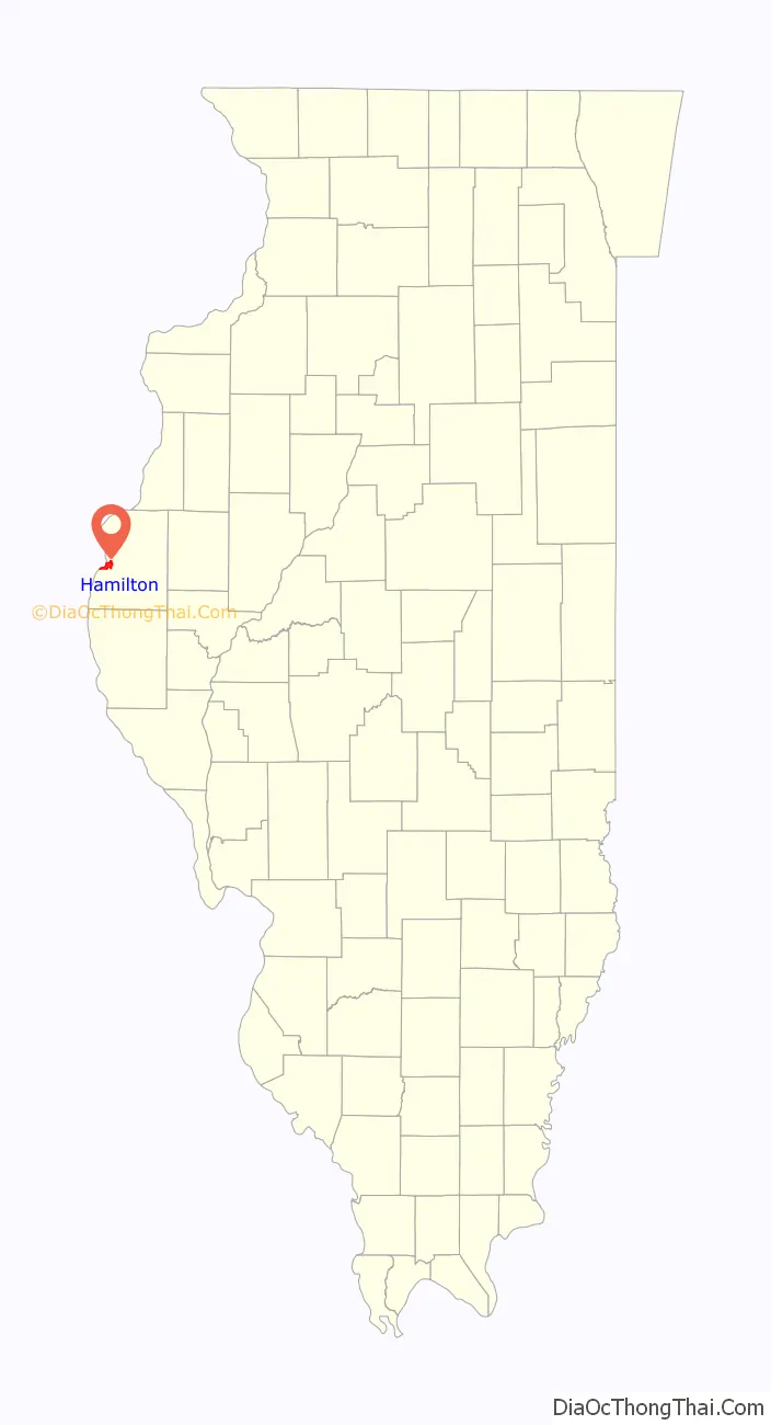
Hamilton location map. Where is Hamilton city?
History
Hamilton was laid out in 1852 by several men in the area, including Samuel Gordon and Bryant Bartlett. Hamilton was officially incorporated as a town in 1854, and then re-incorporated as a city in 1859. Artois Hamilton, for whom the town was named, was also active in the early history of the town.
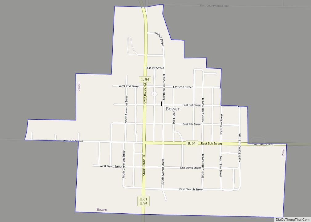
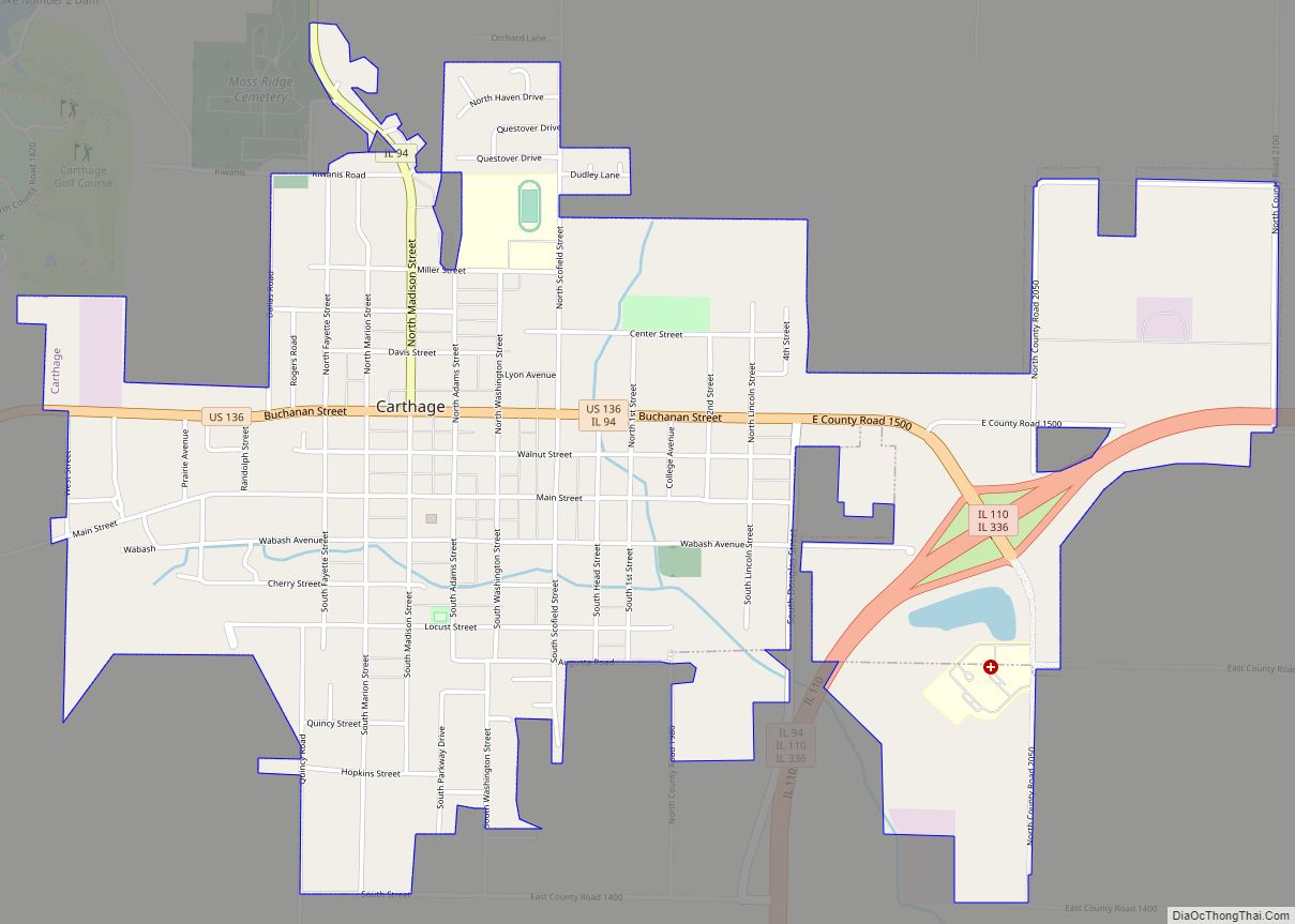
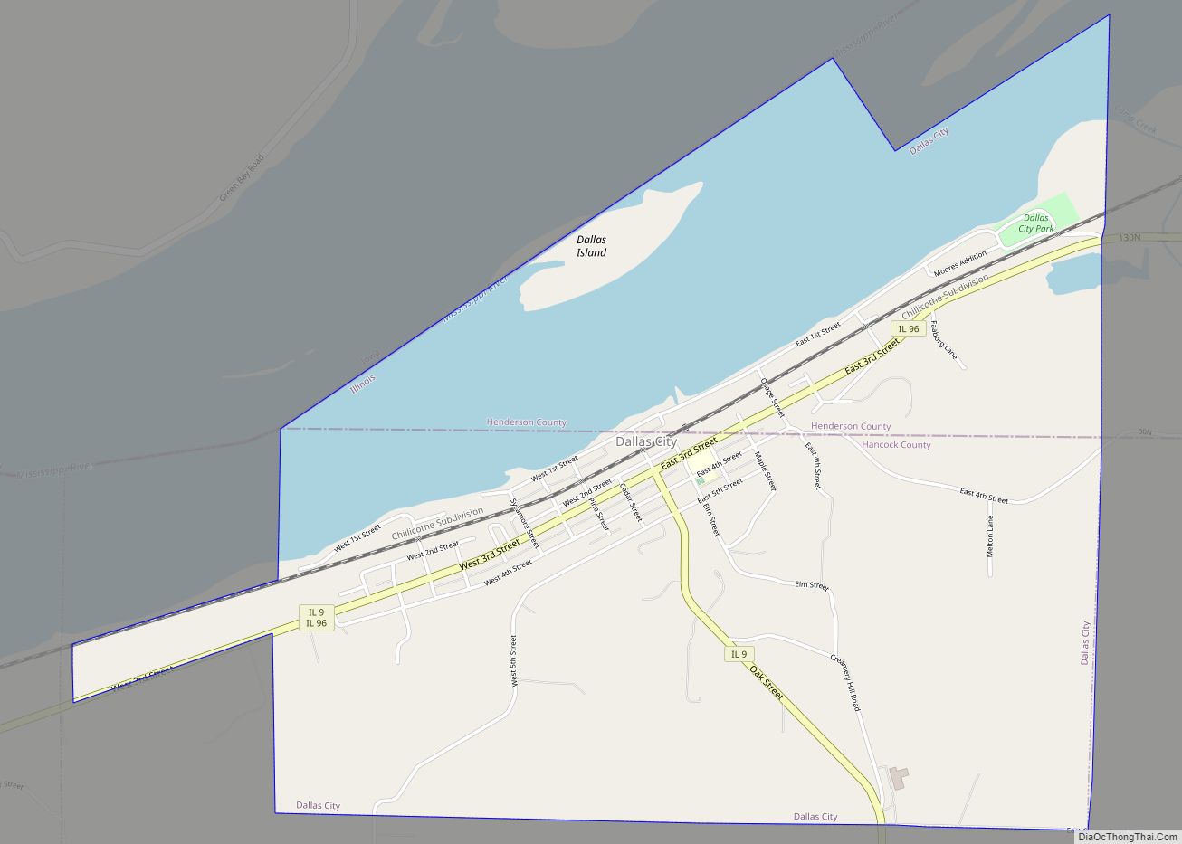
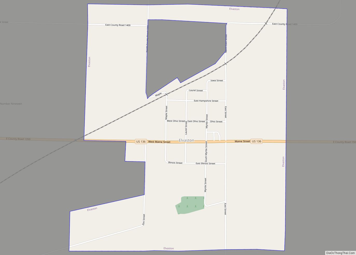
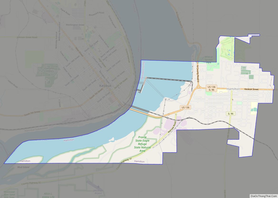
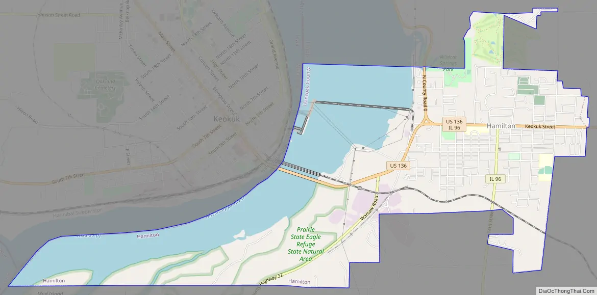
Hamilton Road Map
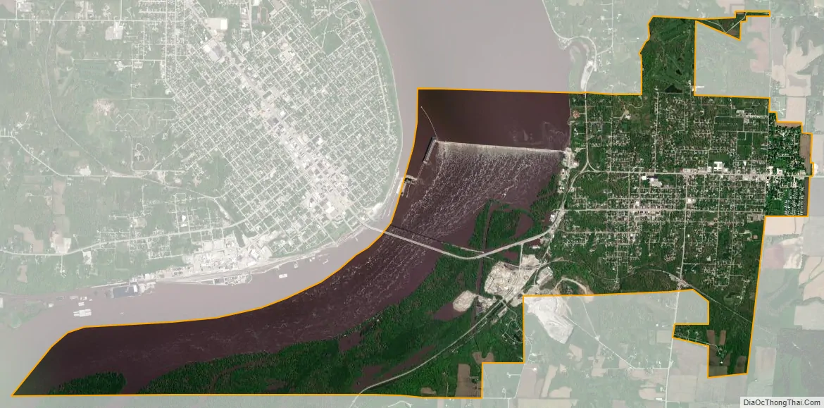
Hamilton city Satellite Map
Geography
According to the 2010 census, Hamilton has a total area of 5.354 square miles (13.87 km), of which 3.56 square miles (9.22 km) (or 66.49%) is land and 1.794 square miles (4.65 km) (or 33.51%) is water. Hamilton and Keokuk share Lock & Dam 19 on the Mississippi River. The dam has the largest fall of any on the Mississippi and the power house supplies a majority of the electricity for St. Louis, MO. Lake Cooper, formed above the dam, represents the widest span of the Mississippi between Montrose, IA and Nauvoo, IL.
See also
Map of Illinois State and its subdivision:- Adams
- Alexander
- Bond
- Boone
- Brown
- Bureau
- Calhoun
- Carroll
- Cass
- Champaign
- Christian
- Clark
- Clay
- Clinton
- Coles
- Cook
- Crawford
- Cumberland
- De Kalb
- De Witt
- Douglas
- Dupage
- Edgar
- Edwards
- Effingham
- Fayette
- Ford
- Franklin
- Fulton
- Gallatin
- Greene
- Grundy
- Hamilton
- Hancock
- Hardin
- Henderson
- Henry
- Iroquois
- Jackson
- Jasper
- Jefferson
- Jersey
- Jo Daviess
- Johnson
- Kane
- Kankakee
- Kendall
- Knox
- La Salle
- Lake
- Lake Michigan
- Lawrence
- Lee
- Livingston
- Logan
- Macon
- Macoupin
- Madison
- Marion
- Marshall
- Mason
- Massac
- McDonough
- McHenry
- McLean
- Menard
- Mercer
- Monroe
- Montgomery
- Morgan
- Moultrie
- Ogle
- Peoria
- Perry
- Piatt
- Pike
- Pope
- Pulaski
- Putnam
- Randolph
- Richland
- Rock Island
- Saint Clair
- Saline
- Sangamon
- Schuyler
- Scott
- Shelby
- Stark
- Stephenson
- Tazewell
- Union
- Vermilion
- Wabash
- Warren
- Washington
- Wayne
- White
- Whiteside
- Will
- Williamson
- Winnebago
- Woodford
- Alabama
- Alaska
- Arizona
- Arkansas
- California
- Colorado
- Connecticut
- Delaware
- District of Columbia
- Florida
- Georgia
- Hawaii
- Idaho
- Illinois
- Indiana
- Iowa
- Kansas
- Kentucky
- Louisiana
- Maine
- Maryland
- Massachusetts
- Michigan
- Minnesota
- Mississippi
- Missouri
- Montana
- Nebraska
- Nevada
- New Hampshire
- New Jersey
- New Mexico
- New York
- North Carolina
- North Dakota
- Ohio
- Oklahoma
- Oregon
- Pennsylvania
- Rhode Island
- South Carolina
- South Dakota
- Tennessee
- Texas
- Utah
- Vermont
- Virginia
- Washington
- West Virginia
- Wisconsin
- Wyoming