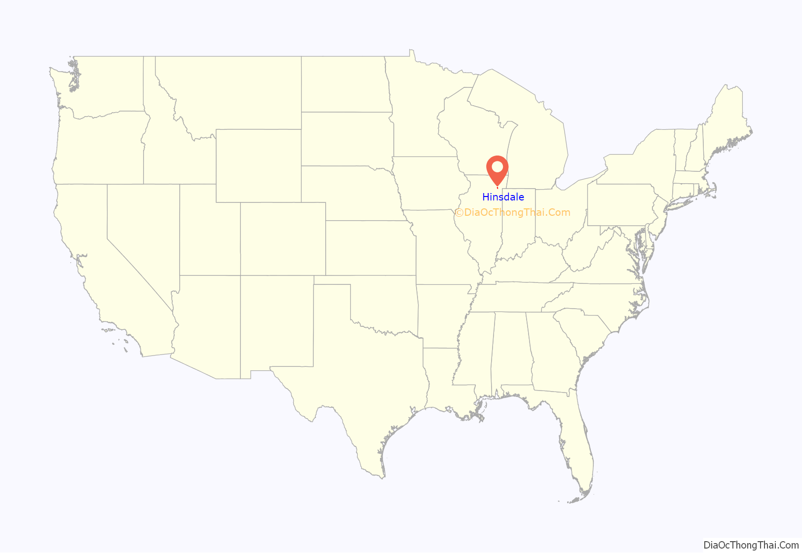
Hinsdale is a village in Cook and DuPage counties in the U.S. state of Illinois. Hinsdale is a western suburb of Chicago. The population was 17,395 at the 2020 census, most of whom lived in DuPage County. The town’s ZIP code is 60521. The town has a rolling, wooded topography, with a downtown, and is a 22-minute express train ride to downtown Chicago on Metra’s BNSF Railway Line.
| Name: | Hinsdale village |
|---|---|
| LSAD Code: | 47 |
| LSAD Description: | village (suffix) |
| State: | Illinois |
| County: | Cook County, DuPage County |
| Incorporated: | April 1, 1873 (1873-04-01) |
| Total Area: | 4.66 sq mi (12.07 km²) |
| Land Area: | 4.62 sq mi (11.97 km²) |
| Water Area: | 0.04 sq mi (0.10 km²) 0.65% |
| Total Population: | 17,395 |
| Population Density: | 3,763/sq mi (1,452.75/km²) |
| Area code: | 630 and 331 |
| FIPS code: | 1735307 |
| Website: | www.villageofhinsdale.org |
Online Interactive Map
Click on ![]() to view map in "full screen" mode.
to view map in "full screen" mode.
Hinsdale location map. Where is Hinsdale village?
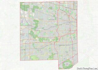
Hinsdale Road Map
Hinsdale city Satellite Map
Geography
Hinsdale is located 20 miles (32 km) west of Chicago and is bordered by Western Springs to the east, Clarendon Hills and Westmont to the west, Oak Brook to the north, and Burr Ridge and Willowbrook to the south. It can be reached by highway from Interstate 294 or Interstate 55. The eastern boundary of Hinsdale is I-294, and the western boundary is Route 83.
According to the 2021 census gazetteer files, Hinsdale has a total area of 4.66 square miles (12.07 km), of which 4.62 square miles (11.97 km) (or 99.18%) is land and 0.04 square miles (0.10 km) (or 0.82%) is water.
See also
Map of Illinois State and its subdivision:- Adams
- Alexander
- Bond
- Boone
- Brown
- Bureau
- Calhoun
- Carroll
- Cass
- Champaign
- Christian
- Clark
- Clay
- Clinton
- Coles
- Cook
- Crawford
- Cumberland
- De Kalb
- De Witt
- Douglas
- Dupage
- Edgar
- Edwards
- Effingham
- Fayette
- Ford
- Franklin
- Fulton
- Gallatin
- Greene
- Grundy
- Hamilton
- Hancock
- Hardin
- Henderson
- Henry
- Iroquois
- Jackson
- Jasper
- Jefferson
- Jersey
- Jo Daviess
- Johnson
- Kane
- Kankakee
- Kendall
- Knox
- La Salle
- Lake
- Lake Michigan
- Lawrence
- Lee
- Livingston
- Logan
- Macon
- Macoupin
- Madison
- Marion
- Marshall
- Mason
- Massac
- McDonough
- McHenry
- McLean
- Menard
- Mercer
- Monroe
- Montgomery
- Morgan
- Moultrie
- Ogle
- Peoria
- Perry
- Piatt
- Pike
- Pope
- Pulaski
- Putnam
- Randolph
- Richland
- Rock Island
- Saint Clair
- Saline
- Sangamon
- Schuyler
- Scott
- Shelby
- Stark
- Stephenson
- Tazewell
- Union
- Vermilion
- Wabash
- Warren
- Washington
- Wayne
- White
- Whiteside
- Will
- Williamson
- Winnebago
- Woodford
- Alabama
- Alaska
- Arizona
- Arkansas
- California
- Colorado
- Connecticut
- Delaware
- District of Columbia
- Florida
- Georgia
- Hawaii
- Idaho
- Illinois
- Indiana
- Iowa
- Kansas
- Kentucky
- Louisiana
- Maine
- Maryland
- Massachusetts
- Michigan
- Minnesota
- Mississippi
- Missouri
- Montana
- Nebraska
- Nevada
- New Hampshire
- New Jersey
- New Mexico
- New York
- North Carolina
- North Dakota
- Ohio
- Oklahoma
- Oregon
- Pennsylvania
- Rhode Island
- South Carolina
- South Dakota
- Tennessee
- Texas
- Utah
- Vermont
- Virginia
- Washington
- West Virginia
- Wisconsin
- Wyoming


