Ina is a village in Jefferson County, Illinois, United States. The population was 2,338 as of the 2010 census. It is part of the Mount Vernon Micropolitan Statistical Area.
| Name: | Ina village |
|---|---|
| LSAD Code: | 47 |
| LSAD Description: | village (suffix) |
| State: | Illinois |
| County: | Jefferson County |
| Elevation: | 427 ft (130 m) |
| Total Area: | 2.40 sq mi (6.23 km²) |
| Land Area: | 2.40 sq mi (6.23 km²) |
| Water Area: | 0.00 sq mi (0.00 km²) |
| Total Population: | 1,641 |
| Population Density: | 682.33/sq mi (263.45/km²) |
| ZIP code: | 62846 |
| Area code: | 618 |
| FIPS code: | 1737179 |
| Website: | www.villageofina.org |
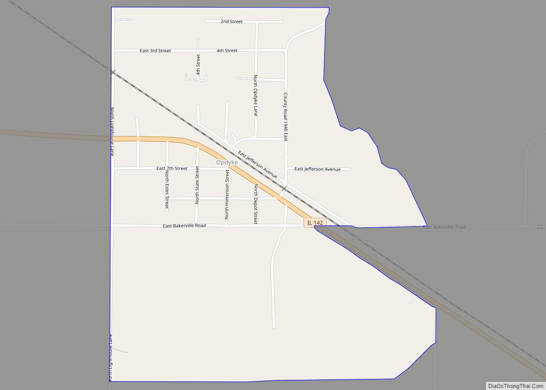
Online Interactive Map
Click on ![]() to view map in "full screen" mode.
to view map in "full screen" mode.
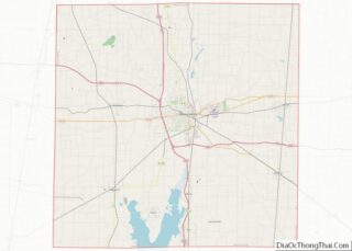
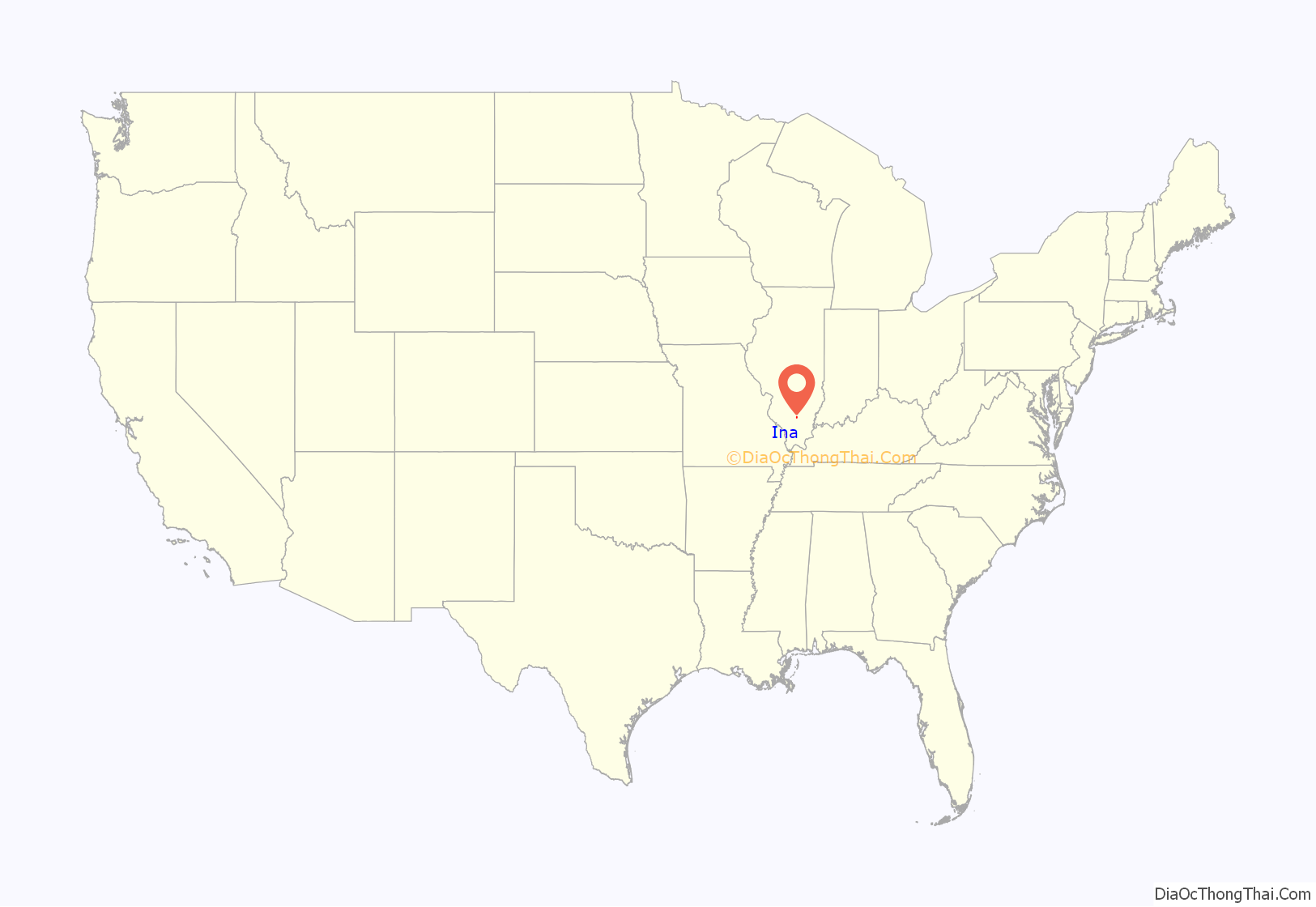
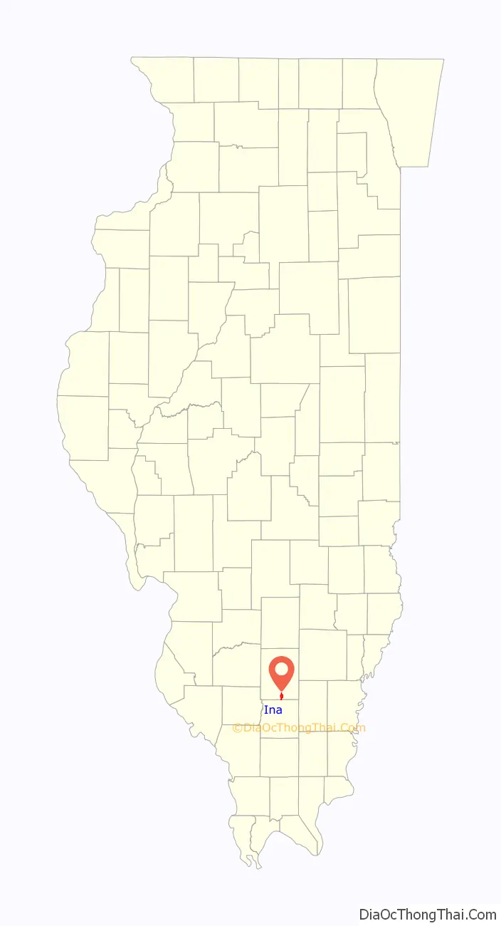
Ina location map. Where is Ina village?
History
Many Cherokee families settled in Ina around 1840. They were apparently refugees from the Trail of Tears. In the 1800s, Ina was jokingly referred to as “the Cherokee Reservation”.
The main settlement in this area was Spring Garden, about 3 miles (5 km) northeast of Ina. Spring Garden prospered from 1848 until the Chicago and Eastern Illinois Railroad was built in 1905. After that, the population and business shifted over to the depots at Ina and Bonnie.
Crimes
A famous murder case occurred in Ina in 1924, when Rev. Lawrence Hight and his lover Elsie Sweeten poisoned Sweeten’s husband in July and Hight’s wife in September. Autopsies revealed arsenic. Hight and Sweeten were both sent to prison. Elsie Sweeten was granted another trial and was later acquitted of murder and released from jail.
Over six decades later a quadruple homicide occurred outside of town. The victims were the Dardeen family, who lived in a mobile home on Illinois Route 37 just north of the Franklin County line. One evening in November 1987, the police came to the house since Keith Dardeen had not shown up for his job at the Rend Lake Water Conservancy District treatment plant that morning and did not answer phone calls.
Elaine had not been raped, valuable items remained in the house, and police found no reason why anyone might want to have killed the family. Serial killer Tommy Lynn Sells confessed to the crime after he was arrested in Texas in 2000; however, police and the other members of the Dardeen family did not completely believe his accounts, which he changed three times, and he did not seem to know any nonpublic information about the crime. He was never charged before his 2014 execution, and officially the Dardeens’ killings remain unsolved.
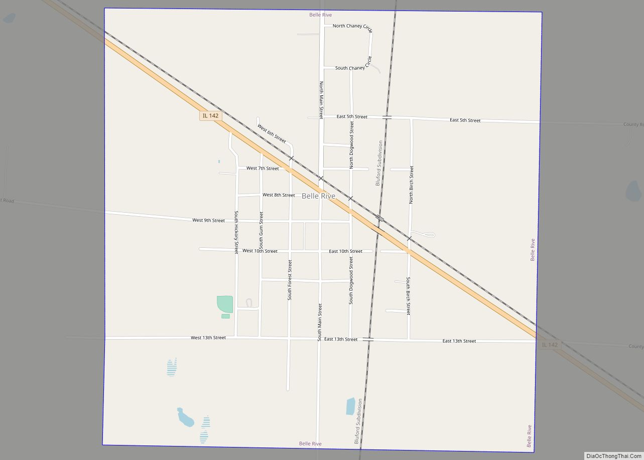
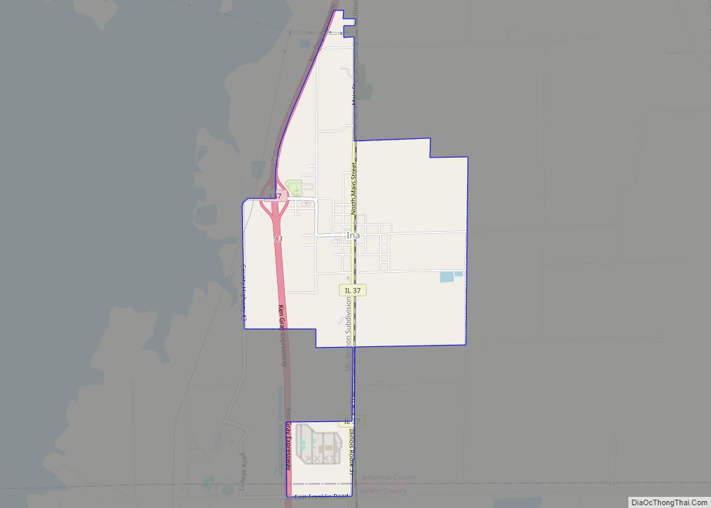
Ina Road Map
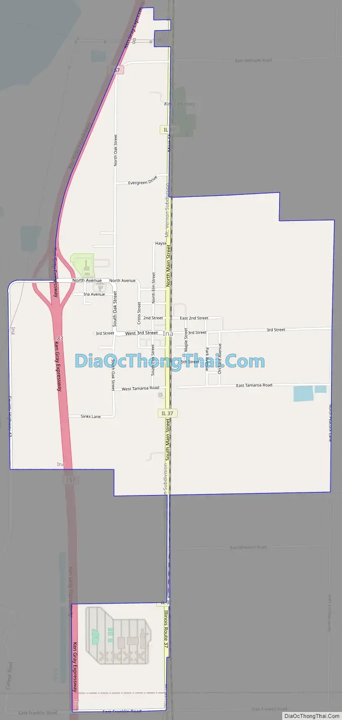
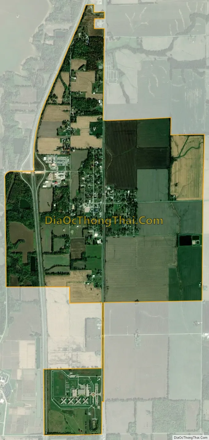
Ina city Satellite Map
Geography
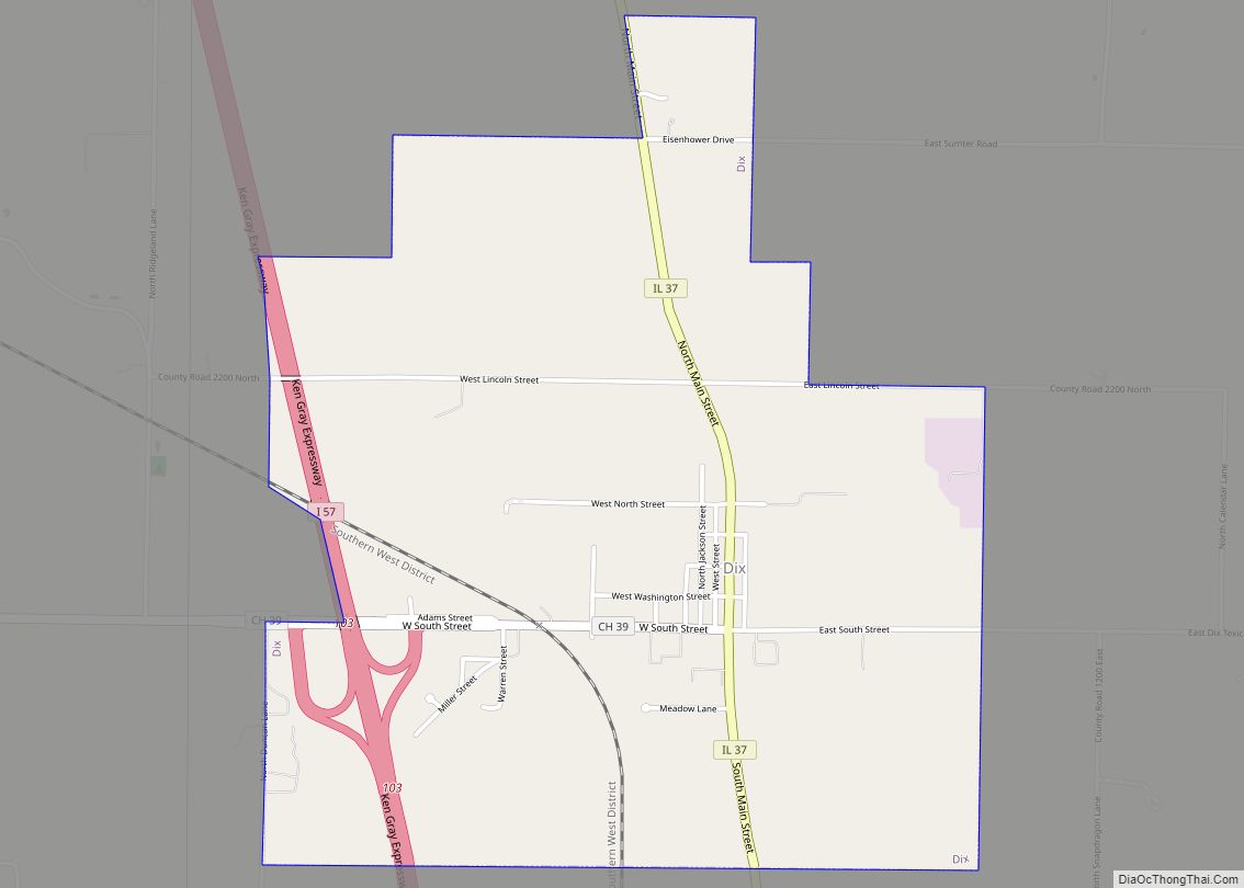
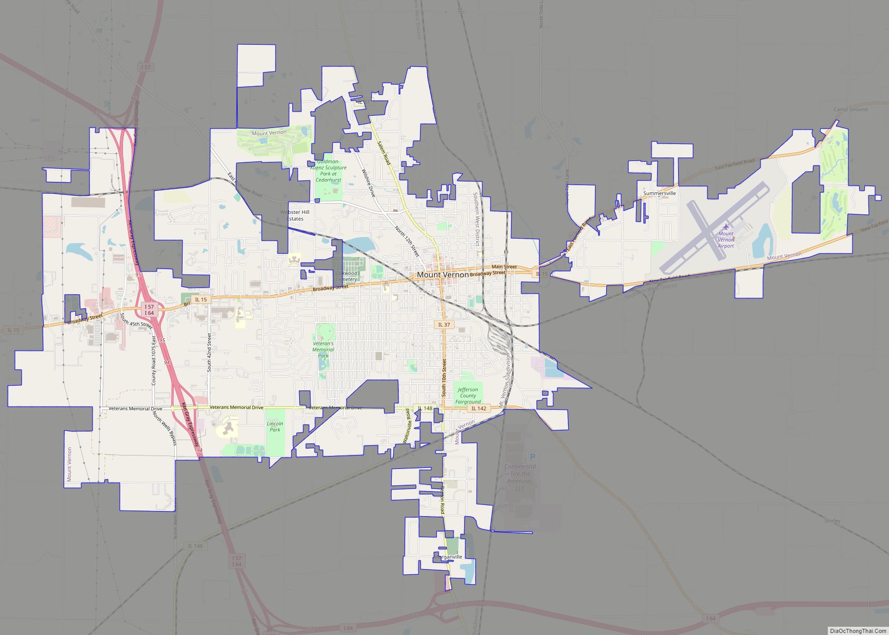
Ina is located along Illinois Route 37 which is the village’s Main Street, and Interstate 57 runs through the west side of town, with access from Exit 83. Mount Vernon, the Jefferson county seat, is 11 miles (18 km) to the north, and Benton is the same distance to the south.
According to the 2010 census, Ina has a total area of 2.45 square miles (6.35 km), all land.
Ina is located on high ground between Casey Creek and Gun Creek, both tributaries of the Big Muddy River. The Big Muddy has been dammed to form Rend Lake, with arms of the lake extending up the two tributaries.
Ina is the home of the Big Muddy River Correctional Center. Rend Lake College, with an Ina mailing address, is outside the village limits to the southwest.
See also
Map of Illinois State and its subdivision:- Adams
- Alexander
- Bond
- Boone
- Brown
- Bureau
- Calhoun
- Carroll
- Cass
- Champaign
- Christian
- Clark
- Clay
- Clinton
- Coles
- Cook
- Crawford
- Cumberland
- De Kalb
- De Witt
- Douglas
- Dupage
- Edgar
- Edwards
- Effingham
- Fayette
- Ford
- Franklin
- Fulton
- Gallatin
- Greene
- Grundy
- Hamilton
- Hancock
- Hardin
- Henderson
- Henry
- Iroquois
- Jackson
- Jasper
- Jefferson
- Jersey
- Jo Daviess
- Johnson
- Kane
- Kankakee
- Kendall
- Knox
- La Salle
- Lake
- Lake Michigan
- Lawrence
- Lee
- Livingston
- Logan
- Macon
- Macoupin
- Madison
- Marion
- Marshall
- Mason
- Massac
- McDonough
- McHenry
- McLean
- Menard
- Mercer
- Monroe
- Montgomery
- Morgan
- Moultrie
- Ogle
- Peoria
- Perry
- Piatt
- Pike
- Pope
- Pulaski
- Putnam
- Randolph
- Richland
- Rock Island
- Saint Clair
- Saline
- Sangamon
- Schuyler
- Scott
- Shelby
- Stark
- Stephenson
- Tazewell
- Union
- Vermilion
- Wabash
- Warren
- Washington
- Wayne
- White
- Whiteside
- Will
- Williamson
- Winnebago
- Woodford
- Alabama
- Alaska
- Arizona
- Arkansas
- California
- Colorado
- Connecticut
- Delaware
- District of Columbia
- Florida
- Georgia
- Hawaii
- Idaho
- Illinois
- Indiana
- Iowa
- Kansas
- Kentucky
- Louisiana
- Maine
- Maryland
- Massachusetts
- Michigan
- Minnesota
- Mississippi
- Missouri
- Montana
- Nebraska
- Nevada
- New Hampshire
- New Jersey
- New Mexico
- New York
- North Carolina
- North Dakota
- Ohio
- Oklahoma
- Oregon
- Pennsylvania
- Rhode Island
- South Carolina
- South Dakota
- Tennessee
- Texas
- Utah
- Vermont
- Virginia
- Washington
- West Virginia
- Wisconsin
- Wyoming