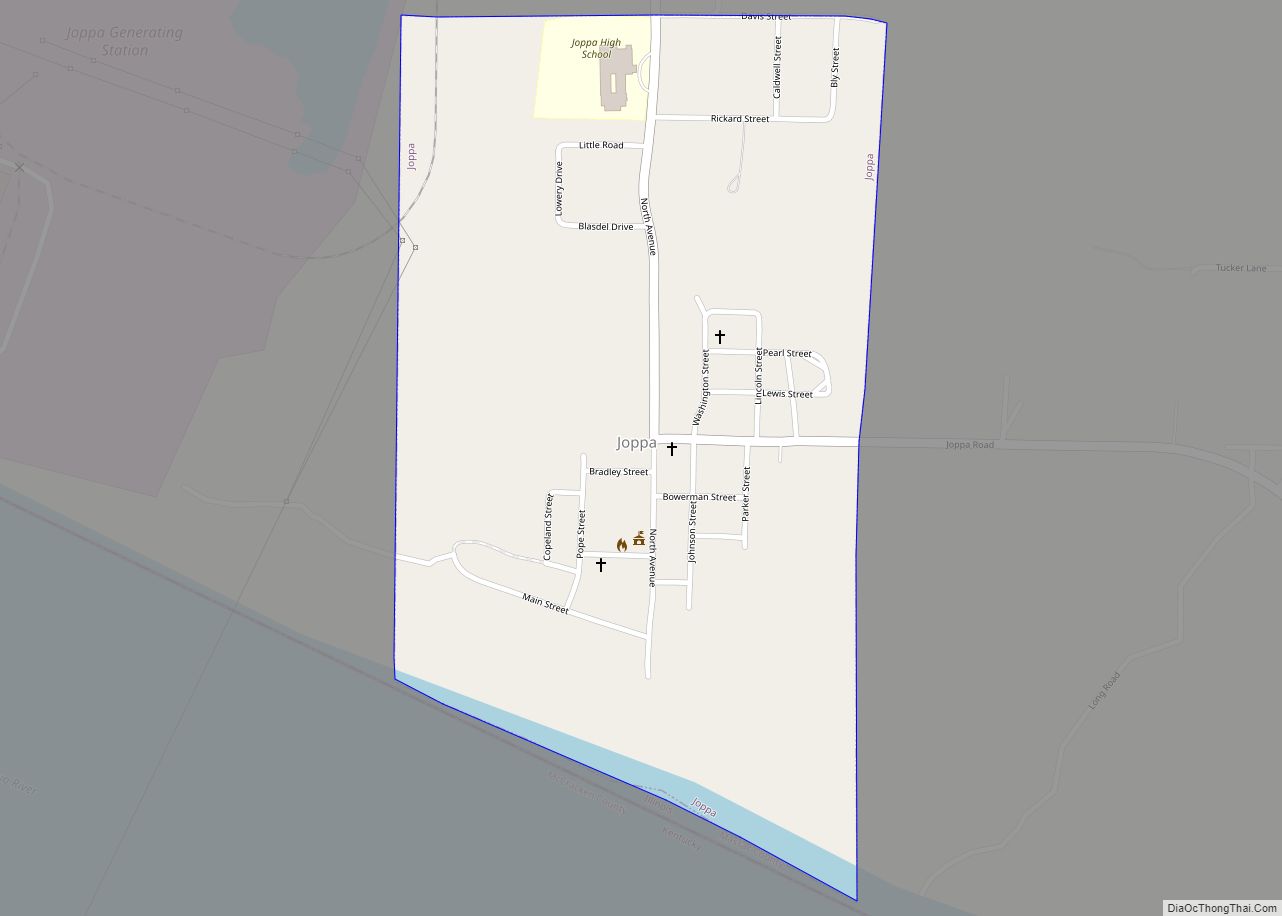
Joppa is a village in Massac County, Illinois, United States, along the Ohio River. The population was 350 as of the 2020 census. It is part of the Paducah, KY-IL Micropolitan Statistical Area.
| Name: | Joppa village |
|---|---|
| LSAD Code: | 47 |
| LSAD Description: | village (suffix) |
| State: | Illinois |
| County: | Massac County |
| Elevation: | 355 ft (108 m) |
| Total Area: | 0.50 sq mi (1.31 km²) |
| Land Area: | 0.49 sq mi (1.26 km²) |
| Water Area: | 0.02 sq mi (0.05 km²) |
| Total Population: | 350 |
| Population Density: | 720.16/sq mi (278.17/km²) |
| ZIP code: | 62953 |
| Area code: | 618 |
| FIPS code: | 1738674 |
Online Interactive Map
Click on ![]() to view map in "full screen" mode.
to view map in "full screen" mode.
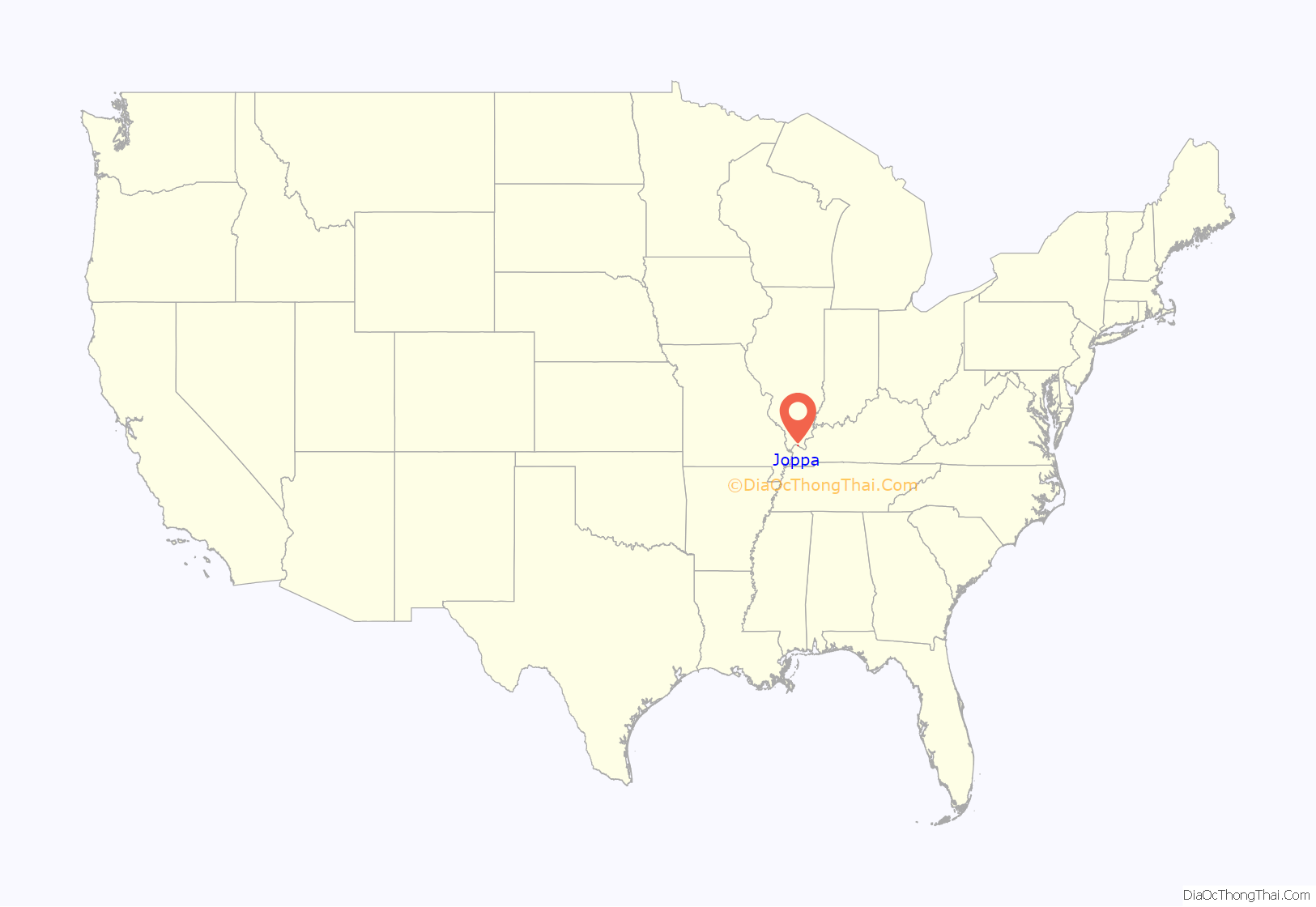
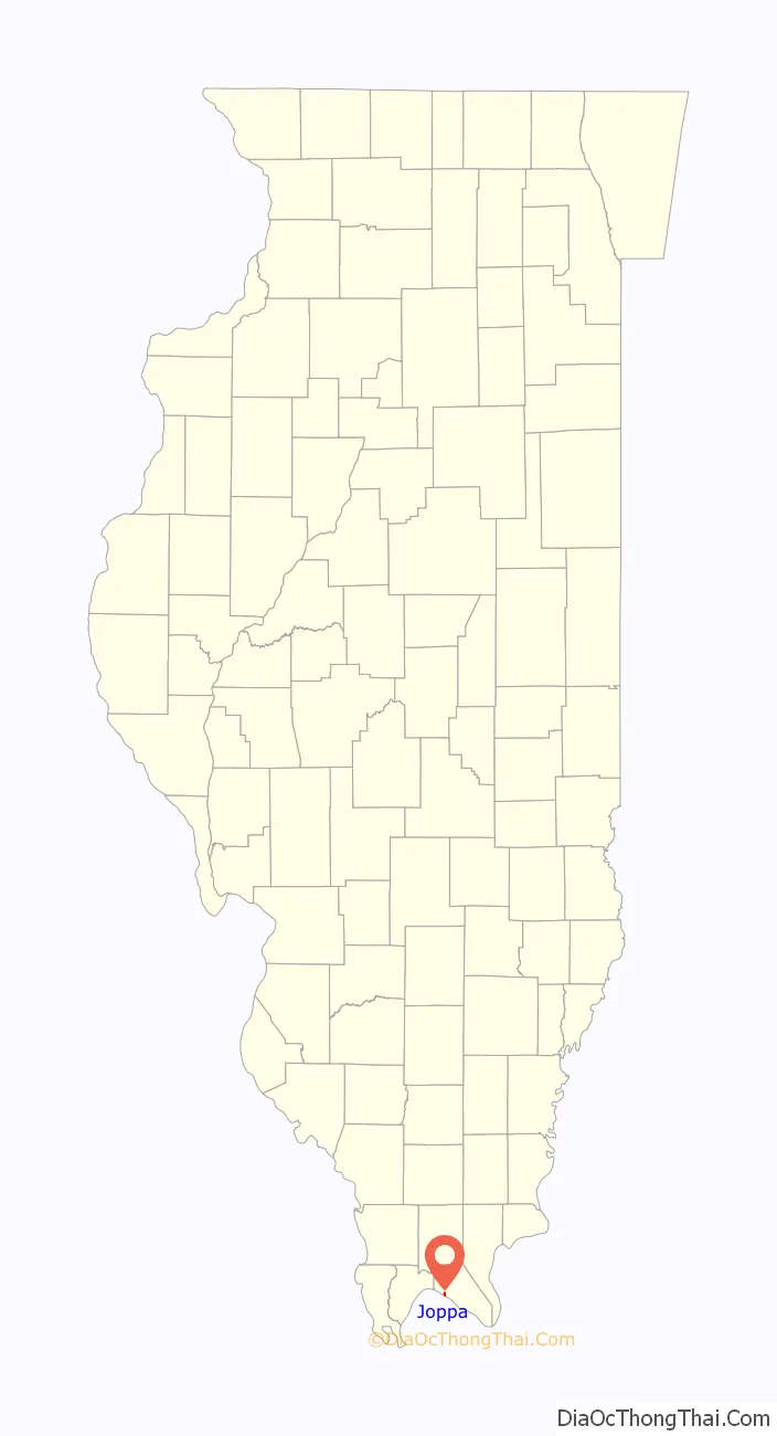
Joppa location map. Where is Joppa village?
History
During the first part of the 19th century, a riverboat landing known as Copeland’s Landing operated at what is now Joppa. In the early 1870s, A.J. Kuykendall, a prominent local land owner, and Jesse Baccus, who operated a local sawmill, decided to establish a town. They named the town after the Biblical city of Joppa (in modern Israel). After the arrival of the railroad in 1900, the village thrived for several years as a river-to-rail transloading station. Joppa incorporated in 1901. Joppa has since lost a lot of population and stores, now only having a school and a few hundred people living there.
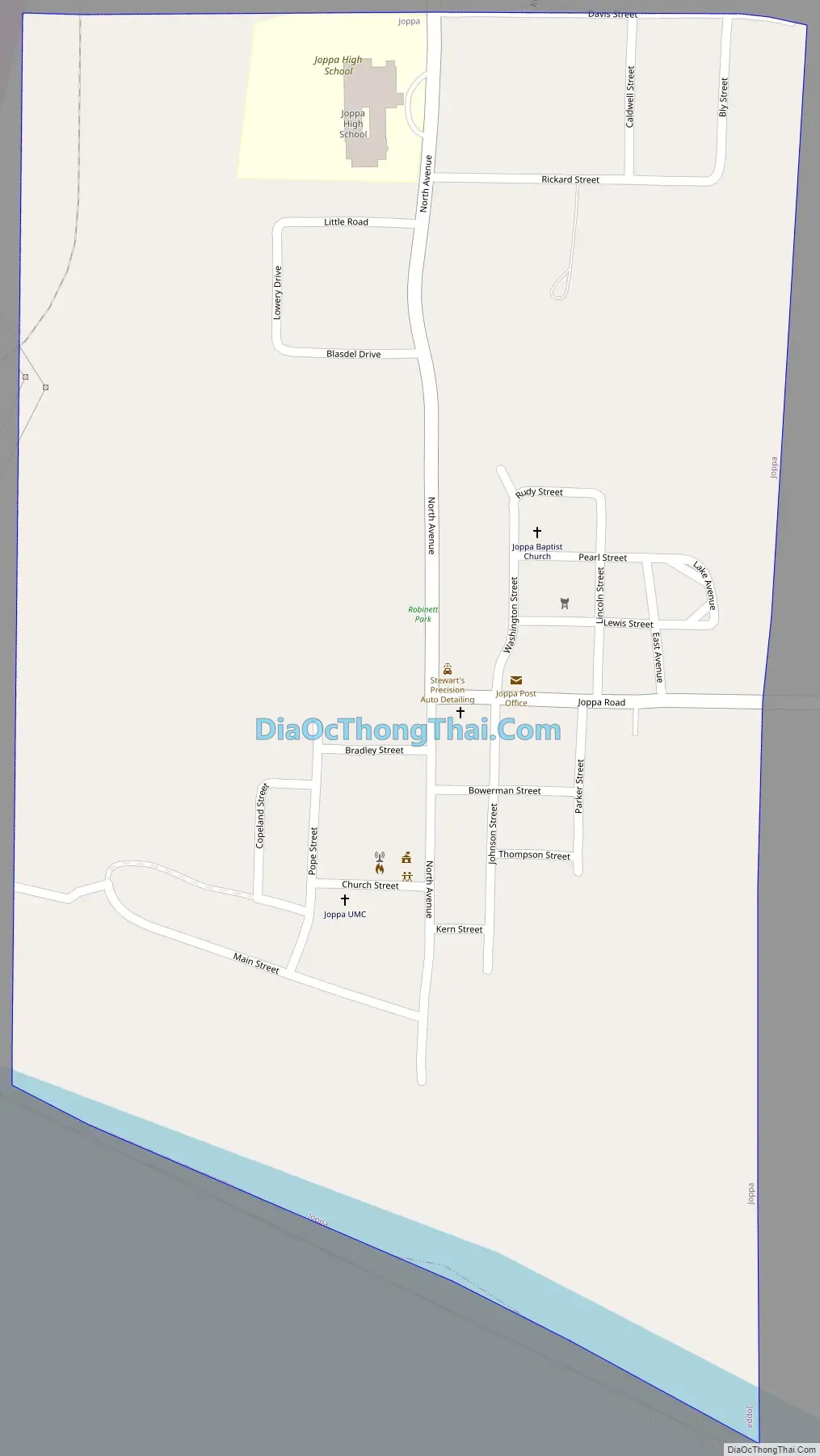
Joppa Road Map
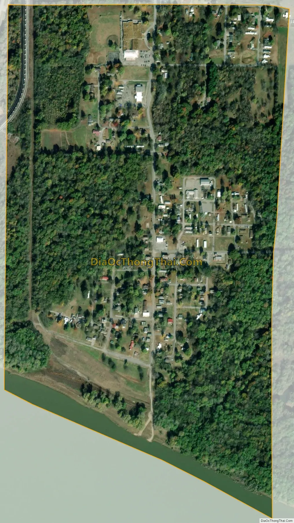
Joppa city Satellite Map
Geography
Joppa is located in western Massac County at 37°12′27″N 88°50′35″W / 37.20750°N 88.84306°W / 37.20750; -88.84306 (37.207399, -88.843033). The village lies along the Ohio River downstream from Metropolis, Illinois, and Paducah, Kentucky. Metropolis is 8 miles (13 km) southeast of Joppa, and Paducah is 20 miles (32 km) to the southeast. County Road 5 connects Joppa with U.S. Route 45 near Metropolis to the east. The Joppa Generating Station, a coal and natural gas power plant operated by Electric Energy, Inc., lies just west of the village.
According to the U.S. Census Bureau, Joppa has a total area of 0.50 square miles (1.29 km), of which 0.02 square miles (0.05 km), or 3.57%, are water.
See also
Map of Illinois State and its subdivision:- Adams
- Alexander
- Bond
- Boone
- Brown
- Bureau
- Calhoun
- Carroll
- Cass
- Champaign
- Christian
- Clark
- Clay
- Clinton
- Coles
- Cook
- Crawford
- Cumberland
- De Kalb
- De Witt
- Douglas
- Dupage
- Edgar
- Edwards
- Effingham
- Fayette
- Ford
- Franklin
- Fulton
- Gallatin
- Greene
- Grundy
- Hamilton
- Hancock
- Hardin
- Henderson
- Henry
- Iroquois
- Jackson
- Jasper
- Jefferson
- Jersey
- Jo Daviess
- Johnson
- Kane
- Kankakee
- Kendall
- Knox
- La Salle
- Lake
- Lake Michigan
- Lawrence
- Lee
- Livingston
- Logan
- Macon
- Macoupin
- Madison
- Marion
- Marshall
- Mason
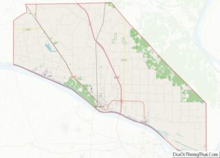
- Massac
- McDonough
- McHenry
- McLean
- Menard
- Mercer
- Monroe
- Montgomery
- Morgan
- Moultrie
- Ogle
- Peoria
- Perry
- Piatt
- Pike
- Pope
- Pulaski
- Putnam
- Randolph
- Richland
- Rock Island
- Saint Clair
- Saline
- Sangamon
- Schuyler
- Scott
- Shelby
- Stark
- Stephenson
- Tazewell
- Union
- Vermilion
- Wabash
- Warren
- Washington
- Wayne
- White
- Whiteside
- Will
- Williamson
- Winnebago
- Woodford
- Alabama
- Alaska
- Arizona
- Arkansas
- California
- Colorado
- Connecticut
- Delaware
- District of Columbia
- Florida
- Georgia
- Hawaii
- Idaho
- Illinois
- Indiana
- Iowa
- Kansas
- Kentucky
- Louisiana
- Maine
- Maryland
- Massachusetts
- Michigan
- Minnesota
- Mississippi
- Missouri
- Montana
- Nebraska
- Nevada
- New Hampshire
- New Jersey
- New Mexico
- New York
- North Carolina
- North Dakota
- Ohio
- Oklahoma
- Oregon
- Pennsylvania
- Rhode Island
- South Carolina
- South Dakota
- Tennessee
- Texas
- Utah
- Vermont
- Virginia
- Washington
- West Virginia
- Wisconsin
- Wyoming