Keyesport is a village in Bond and Clinton counties, Illinois, United States. The population was 406 at the 2020 census.
| Name: | Keyesport village |
|---|---|
| LSAD Code: | 47 |
| LSAD Description: | village (suffix) |
| State: | Illinois |
| County: | Bond County, Clinton County |
| Elevation: | 459 ft (140 m) |
| Total Area: | 0.74 sq mi (1.91 km²) |
| Land Area: | 0.72 sq mi (1.87 km²) |
| Water Area: | 0.02 sq mi (0.04 km²) |
| Total Population: | 406 |
| Population Density: | 563.89/sq mi (217.57/km²) |
| Area code: | 618 |
| FIPS code: | 1739753 |
| GNISfeature ID: | 2398342 |
Online Interactive Map
Click on ![]() to view map in "full screen" mode.
to view map in "full screen" mode.
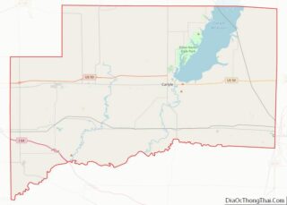
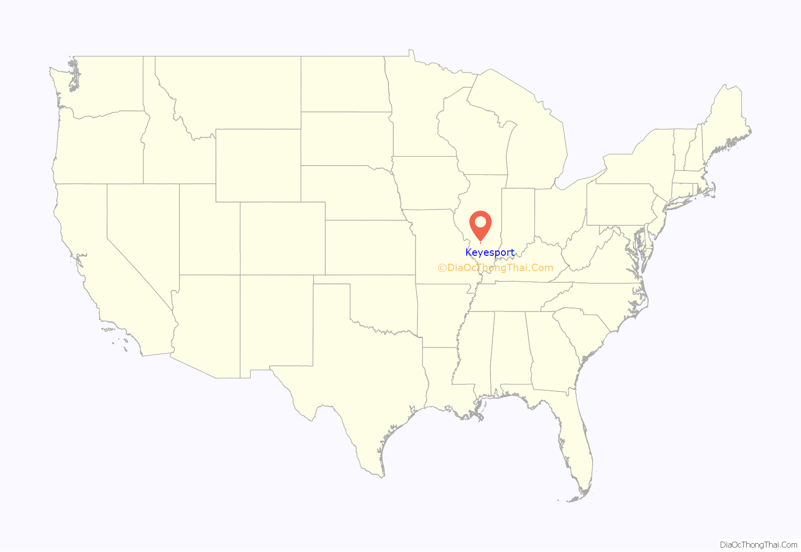
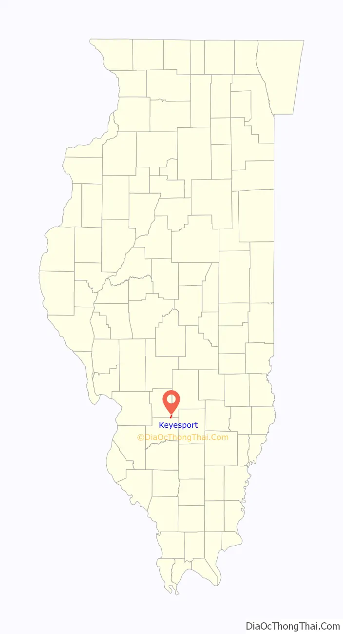
Keyesport location map. Where is Keyesport village?
History
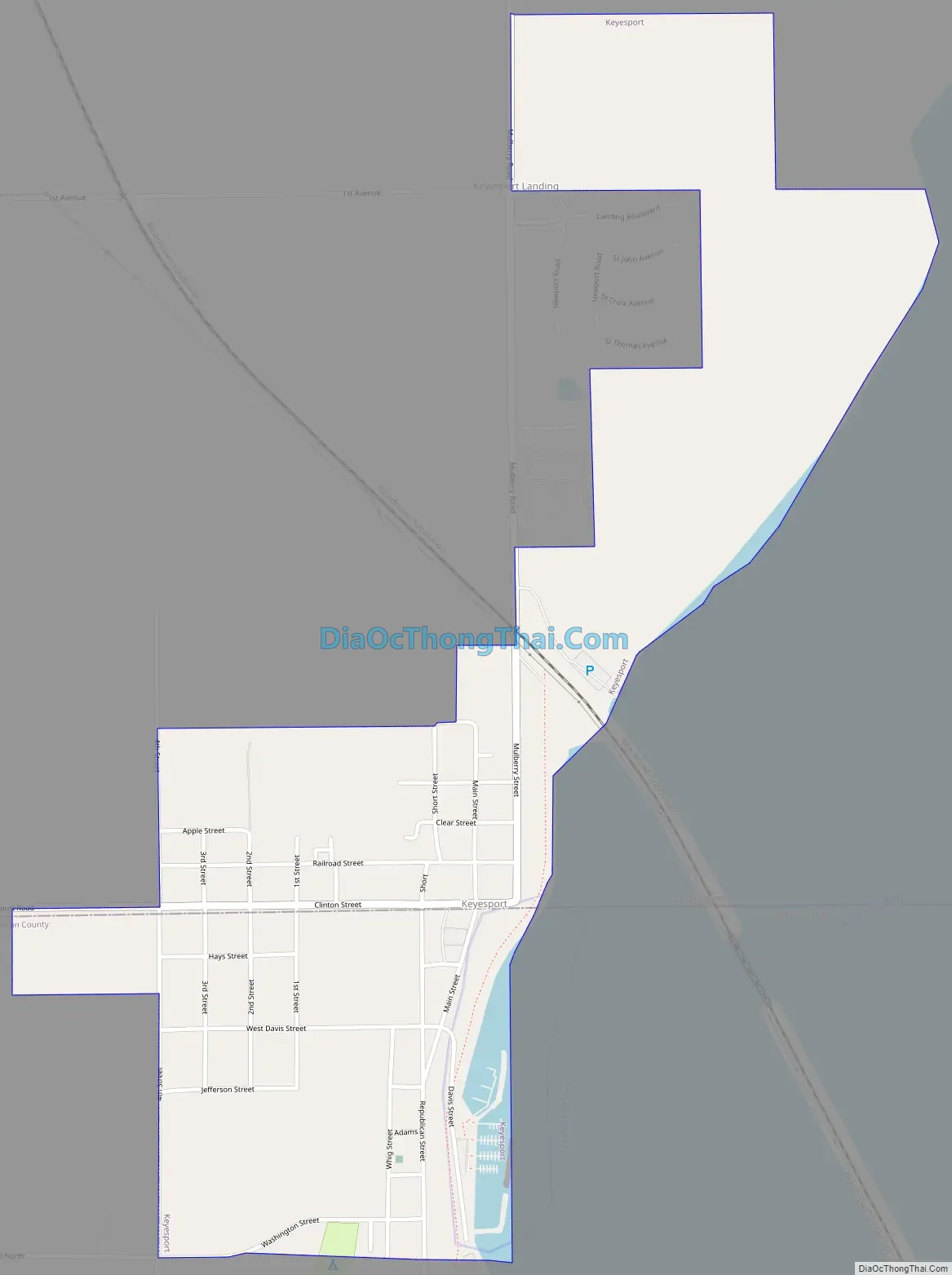
Keyesport was named in honor of its postmaster, Thomas Keyes. It is on the boundary between Clinton County and Bond counties. It was incorporated as a village in 1887.
Keyesport Road Map
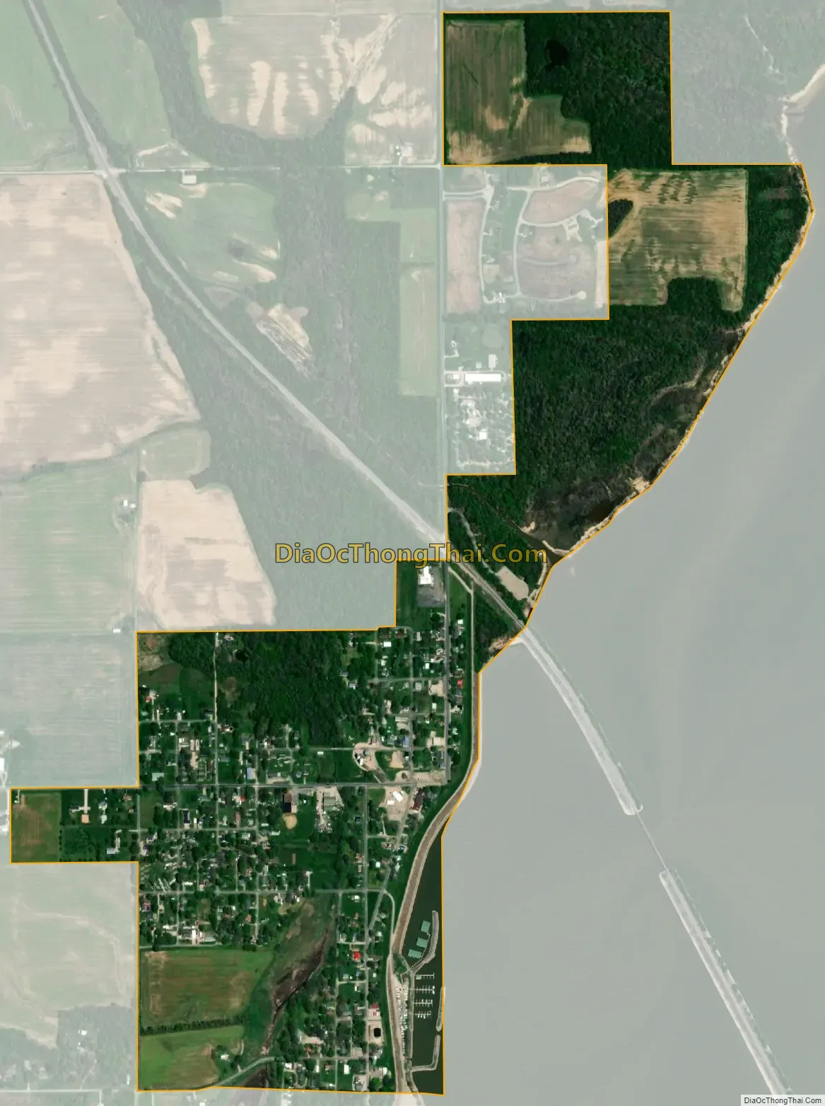
Keyesport city Satellite Map
Geography
Keyesport is situated on the western shore of Carlyle Lake.
According to the 2021 census gazetteer files, Keyesport has a total area of 0.74 square miles (1.92 km), of which 0.72 square miles (1.86 km) (or 97.69%) is land and 0.02 square miles (0.05 km) (or 2.31%) is water.
See also
Map of Illinois State and its subdivision:- Adams
- Alexander
- Bond
- Boone
- Brown
- Bureau
- Calhoun
- Carroll
- Cass
- Champaign
- Christian
- Clark
- Clay
- Clinton
- Coles
- Cook
- Crawford
- Cumberland
- De Kalb
- De Witt
- Douglas
- Dupage
- Edgar
- Edwards
- Effingham
- Fayette
- Ford
- Franklin
- Fulton
- Gallatin
- Greene
- Grundy
- Hamilton
- Hancock
- Hardin
- Henderson
- Henry
- Iroquois
- Jackson
- Jasper
- Jefferson
- Jersey
- Jo Daviess
- Johnson
- Kane
- Kankakee
- Kendall
- Knox
- La Salle
- Lake
- Lake Michigan
- Lawrence
- Lee
- Livingston
- Logan
- Macon
- Macoupin
- Madison
- Marion
- Marshall
- Mason
- Massac
- McDonough
- McHenry
- McLean
- Menard
- Mercer
- Monroe
- Montgomery
- Morgan
- Moultrie
- Ogle
- Peoria
- Perry
- Piatt
- Pike
- Pope
- Pulaski
- Putnam
- Randolph
- Richland
- Rock Island
- Saint Clair
- Saline
- Sangamon
- Schuyler
- Scott
- Shelby
- Stark
- Stephenson
- Tazewell
- Union
- Vermilion
- Wabash
- Warren
- Washington
- Wayne
- White
- Whiteside
- Will
- Williamson
- Winnebago
- Woodford
- Alabama
- Alaska
- Arizona
- Arkansas
- California
- Colorado
- Connecticut
- Delaware
- District of Columbia
- Florida
- Georgia
- Hawaii
- Idaho
- Illinois
- Indiana
- Iowa
- Kansas
- Kentucky
- Louisiana
- Maine
- Maryland
- Massachusetts
- Michigan
- Minnesota
- Mississippi
- Missouri
- Montana
- Nebraska
- Nevada
- New Hampshire
- New Jersey
- New Mexico
- New York
- North Carolina
- North Dakota
- Ohio
- Oklahoma
- Oregon
- Pennsylvania
- Rhode Island
- South Carolina
- South Dakota
- Tennessee
- Texas
- Utah
- Vermont
- Virginia
- Washington
- West Virginia
- Wisconsin
- Wyoming