Lake Villa is a village in Lake County, Illinois United States. Per the 2020 census, the population was 8,741. Lake Villa lies within Lake Villa Township and about 50 miles north of Chicago and is part of the United States Census Bureau’s Chicago combined statistical area (CSA).
| Name: | Lake Villa village |
|---|---|
| LSAD Code: | 47 |
| LSAD Description: | village (suffix) |
| State: | Illinois |
| County: | Lake County |
| Total Area: | 7.30 sq mi (18.91 km²) |
| Land Area: | 6.52 sq mi (16.88 km²) |
| Water Area: | 0.78 sq mi (2.03 km²) |
| Total Population: | 8,741 |
| Population Density: | 1,341.47/sq mi (517.93/km²) |
| FIPS code: | 1741586 |
| Website: | www.lake-villa.org |
Online Interactive Map
Click on ![]() to view map in "full screen" mode.
to view map in "full screen" mode.
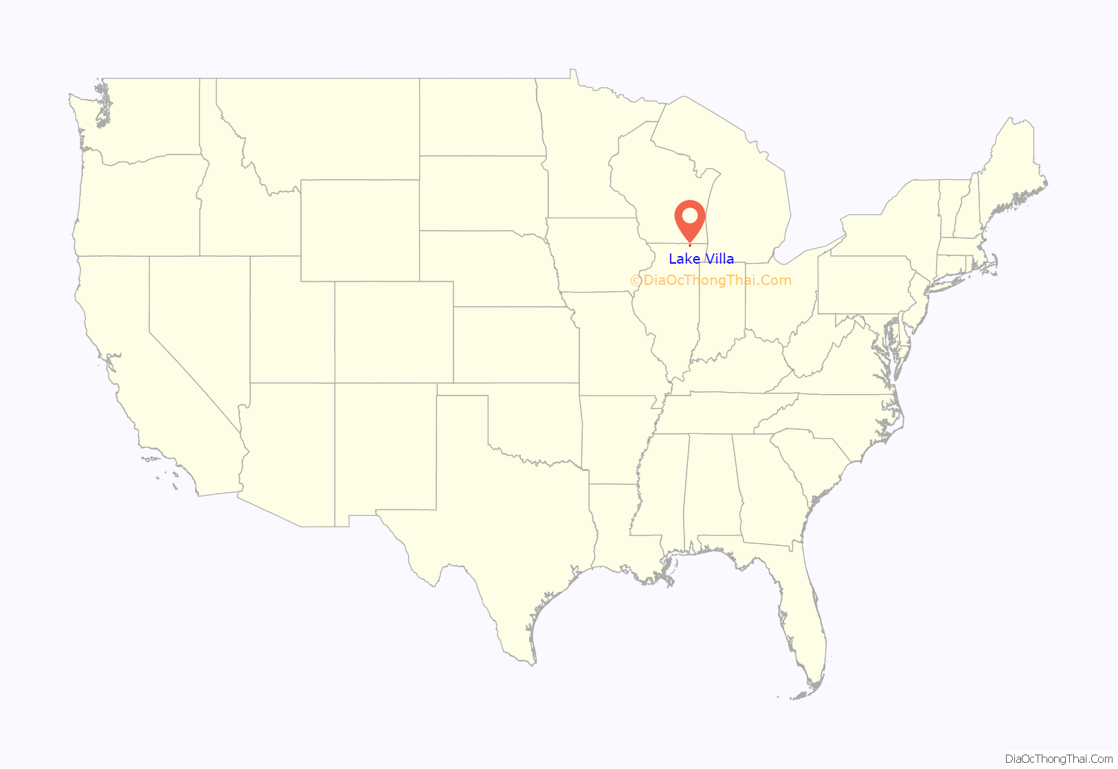
Lake Villa location map. Where is Lake Villa village?
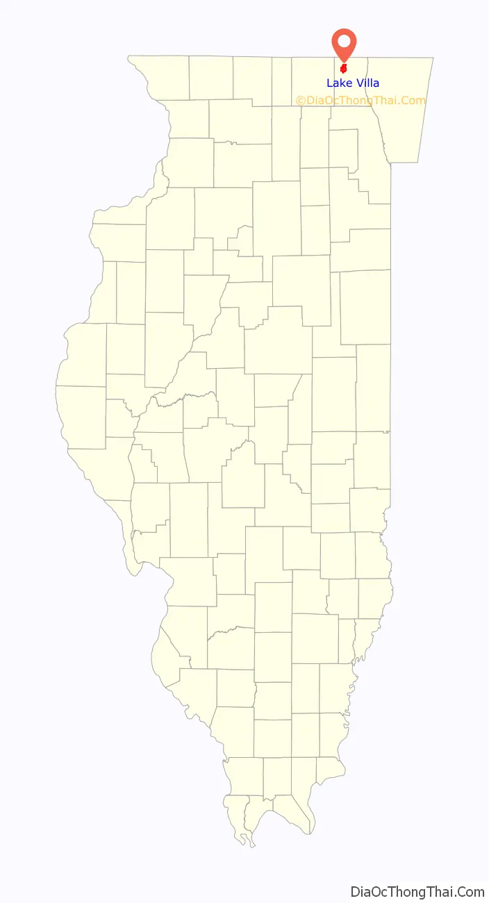
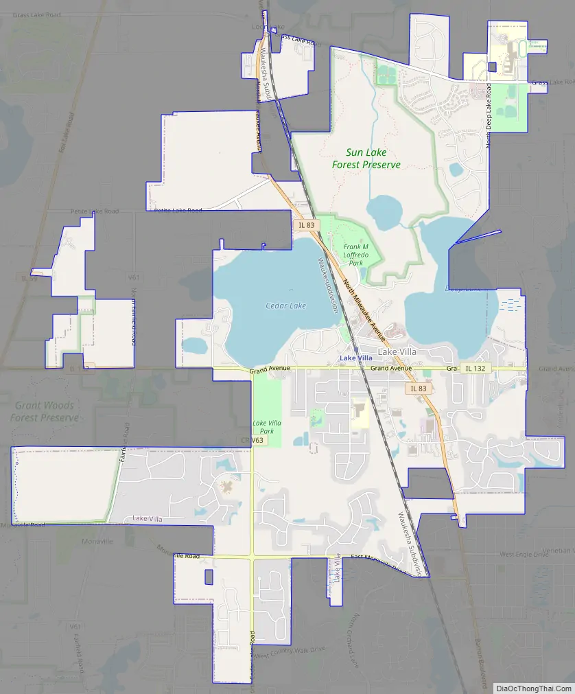
Lake Villa Road Map
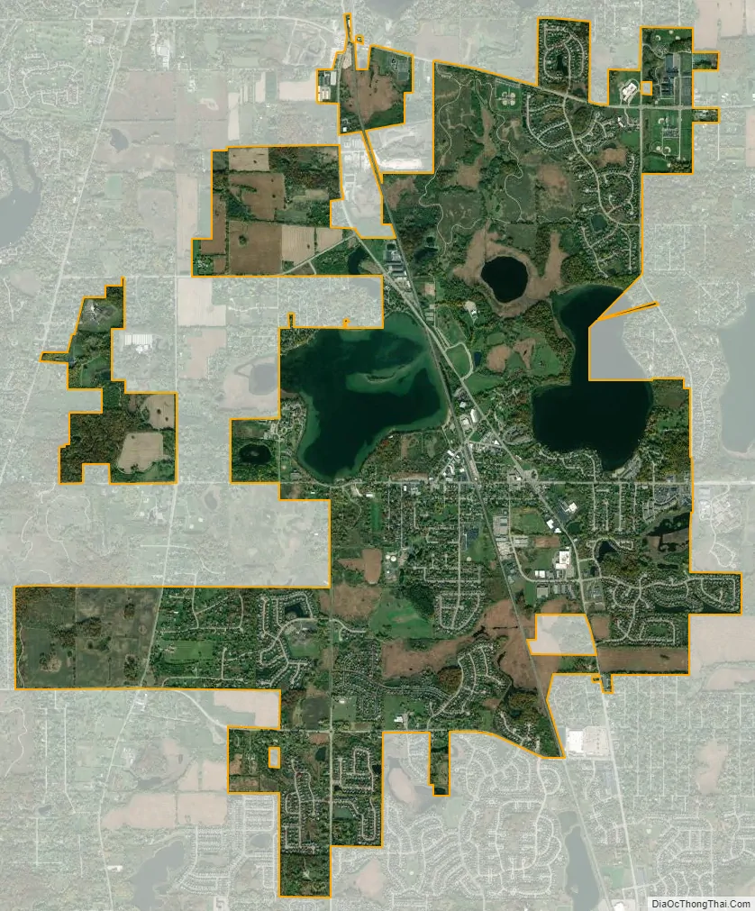
Lake Villa city Satellite Map
Geography
Lake Villa is located at 42°25′3″N 88°4′56″W / 42.41750°N 88.08222°W / 42.41750; -88.08222 (42.417546, -88.082360).
According to the 2010 census, Lake Villa has a total area of 6.994 square miles (18.11 km), of which 6.19 square miles (16.03 km) (or 88.5%) is land and 0.804 square miles (2.08 km) (or 11.5%) is water.
The village lies in a gently rolling moraine landscape, dominated by lakes of glacial origin known as the Chain O’Lakes. Among these are Cedar Lake, north of the village center, and Deep Lake, to the east. There are several smaller lakes and ponds, along with a complement of wetlands. The lakes and ponds have been important in Lake Villa’s historic tourist industry, and over the years led to a small ice industry.
Drainage is ultimate to the Des Plaines and Fox rivers, both of which flow to the Illinois River and ultimately the Mississippi.
The Wisconsin Central Railway runs through the village center. This is a heavily used freight line which also carries Metra commuter rail traffic from Antioch, Illinois to the Chicago Loop.
See also
Map of Illinois State and its subdivision:- Adams
- Alexander
- Bond
- Boone
- Brown
- Bureau
- Calhoun
- Carroll
- Cass
- Champaign
- Christian
- Clark
- Clay
- Clinton
- Coles
- Cook
- Crawford
- Cumberland
- De Kalb
- De Witt
- Douglas
- Dupage
- Edgar
- Edwards
- Effingham
- Fayette
- Ford
- Franklin
- Fulton
- Gallatin
- Greene
- Grundy
- Hamilton
- Hancock
- Hardin
- Henderson
- Henry
- Iroquois
- Jackson
- Jasper
- Jefferson
- Jersey
- Jo Daviess
- Johnson
- Kane
- Kankakee
- Kendall
- Knox
- La Salle
- Lake
- Lake Michigan
- Lawrence
- Lee
- Livingston
- Logan
- Macon
- Macoupin
- Madison
- Marion
- Marshall
- Mason
- Massac
- McDonough
- McHenry
- McLean
- Menard
- Mercer
- Monroe
- Montgomery
- Morgan
- Moultrie
- Ogle
- Peoria
- Perry
- Piatt
- Pike
- Pope
- Pulaski
- Putnam
- Randolph
- Richland
- Rock Island
- Saint Clair
- Saline
- Sangamon
- Schuyler
- Scott
- Shelby
- Stark
- Stephenson
- Tazewell
- Union
- Vermilion
- Wabash
- Warren
- Washington
- Wayne
- White
- Whiteside
- Will
- Williamson
- Winnebago
- Woodford
- Alabama
- Alaska
- Arizona
- Arkansas
- California
- Colorado
- Connecticut
- Delaware
- District of Columbia
- Florida
- Georgia
- Hawaii
- Idaho
- Illinois
- Indiana
- Iowa
- Kansas
- Kentucky
- Louisiana
- Maine
- Maryland
- Massachusetts
- Michigan
- Minnesota
- Mississippi
- Missouri
- Montana
- Nebraska
- Nevada
- New Hampshire
- New Jersey
- New Mexico
- New York
- North Carolina
- North Dakota
- Ohio
- Oklahoma
- Oregon
- Pennsylvania
- Rhode Island
- South Carolina
- South Dakota
- Tennessee
- Texas
- Utah
- Vermont
- Virginia
- Washington
- West Virginia
- Wisconsin
- Wyoming


