Lakemoor is a village in Lake and McHenry counties in the U.S. state of Illinois. Per the 2020 census, the population was 6,182.
| Name: | Lakemoor village |
|---|---|
| LSAD Code: | 47 |
| LSAD Description: | village (suffix) |
| State: | Illinois |
| County: | Lake County, McHenry County |
| Elevation: | 748 ft (228 m) |
| Total Area: | 5.54 sq mi (14.36 km²) |
| Land Area: | 5.30 sq mi (13.73 km²) |
| Water Area: | 0.24 sq mi (0.64 km²) |
| Total Population: | 6,182 |
| Population Density: | 1,166.42/sq mi (450.32/km²) |
| Area code: | 815 |
| FIPS code: | 1741326 |
| Website: | www.lakemoor.net |
Online Interactive Map
Click on ![]() to view map in "full screen" mode.
to view map in "full screen" mode.
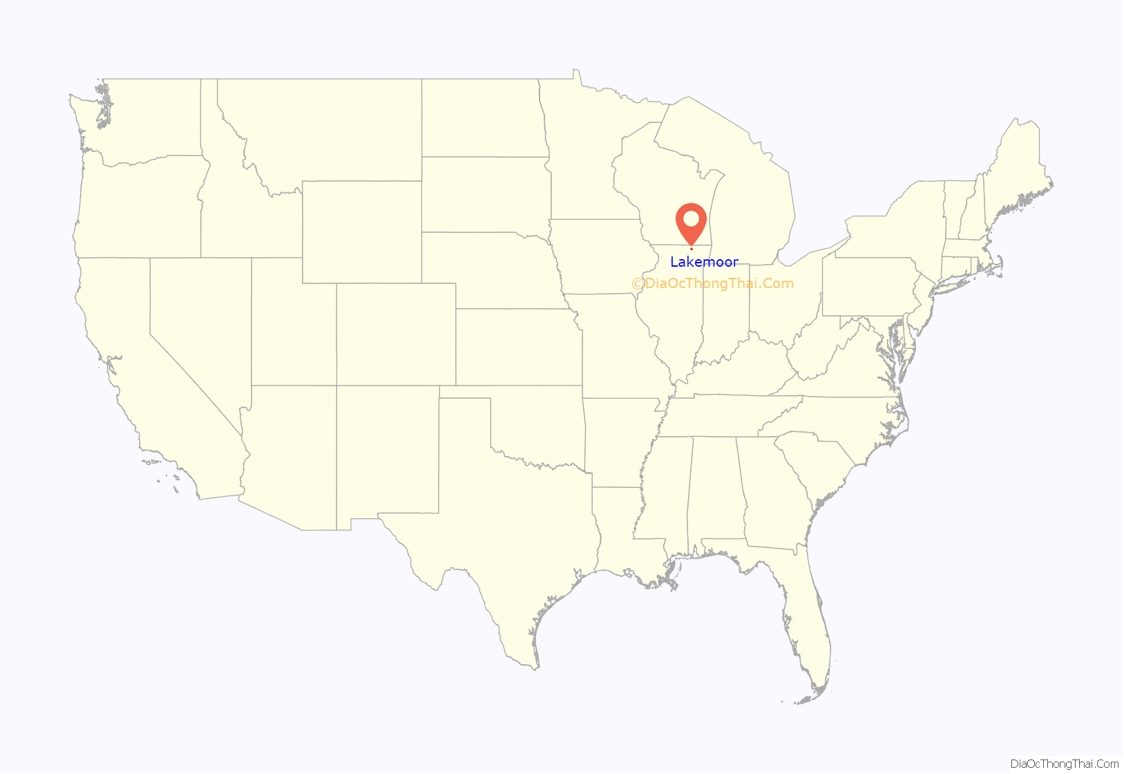
Lakemoor location map. Where is Lakemoor village?
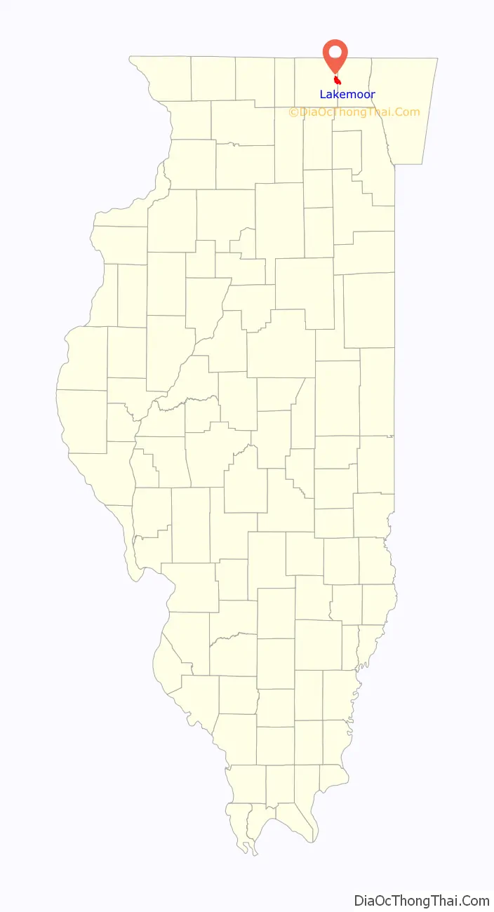
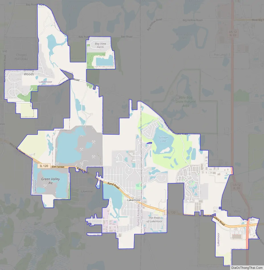
Lakemoor Road Map
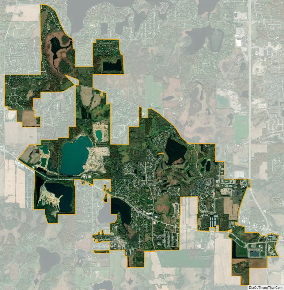
Lakemoor city Satellite Map
Geography
Lakemoor is located at 42°20′25″N 88°12′11″W / 42.34028°N 88.20306°W / 42.34028; -88.20306 (42.3401437, -88.2031240).
According to the 2010 census, Lakemoor has a total area of 5.253 square miles (13.61 km), of which 5.01 square miles (12.98 km) (or 95.37%) is land and 0.243 square miles (0.63 km) (or 4.63%) is water.
Major streets
- Rand Road/Belvidere Road
- Bay Road
- Chapel Hill Road
- Lincoln Road
- Cuhlman Road
- Lily Lake Road
- Darrell Road
- Sullivan Lake Road
- Fox Lake Road
- Volo Village Road
- Gilmer Road
See also
Map of Illinois State and its subdivision:- Adams
- Alexander
- Bond
- Boone
- Brown
- Bureau
- Calhoun
- Carroll
- Cass
- Champaign
- Christian
- Clark
- Clay
- Clinton
- Coles
- Cook
- Crawford
- Cumberland
- De Kalb
- De Witt
- Douglas
- Dupage
- Edgar
- Edwards
- Effingham
- Fayette
- Ford
- Franklin
- Fulton
- Gallatin
- Greene
- Grundy
- Hamilton
- Hancock
- Hardin
- Henderson
- Henry
- Iroquois
- Jackson
- Jasper
- Jefferson
- Jersey
- Jo Daviess
- Johnson
- Kane
- Kankakee
- Kendall
- Knox
- La Salle
- Lake
- Lake Michigan
- Lawrence
- Lee
- Livingston
- Logan
- Macon
- Macoupin
- Madison
- Marion
- Marshall
- Mason
- Massac
- McDonough
- McHenry
- McLean
- Menard
- Mercer
- Monroe
- Montgomery
- Morgan
- Moultrie
- Ogle
- Peoria
- Perry
- Piatt
- Pike
- Pope
- Pulaski
- Putnam
- Randolph
- Richland
- Rock Island
- Saint Clair
- Saline
- Sangamon
- Schuyler
- Scott
- Shelby
- Stark
- Stephenson
- Tazewell
- Union
- Vermilion
- Wabash
- Warren
- Washington
- Wayne
- White
- Whiteside
- Will
- Williamson
- Winnebago
- Woodford
- Alabama
- Alaska
- Arizona
- Arkansas
- California
- Colorado
- Connecticut
- Delaware
- District of Columbia
- Florida
- Georgia
- Hawaii
- Idaho
- Illinois
- Indiana
- Iowa
- Kansas
- Kentucky
- Louisiana
- Maine
- Maryland
- Massachusetts
- Michigan
- Minnesota
- Mississippi
- Missouri
- Montana
- Nebraska
- Nevada
- New Hampshire
- New Jersey
- New Mexico
- New York
- North Carolina
- North Dakota
- Ohio
- Oklahoma
- Oregon
- Pennsylvania
- Rhode Island
- South Carolina
- South Dakota
- Tennessee
- Texas
- Utah
- Vermont
- Virginia
- Washington
- West Virginia
- Wisconsin
- Wyoming


