Lee is a village in DeKalb County and Lee County, Illinois, United States. The population was 313 at the 2020 census.
| Name: | Lee village |
|---|---|
| LSAD Code: | 47 |
| LSAD Description: | village (suffix) |
| State: | Illinois |
| County: | DeKalb County, Lee County |
| Total Area: | 0.20 sq mi (0.51 km²) |
| Land Area: | 0.20 sq mi (0.51 km²) |
| Water Area: | 0.00 sq mi (0.00 km²) |
| Total Population: | 313 |
| Population Density: | 1,588.83/sq mi (614.35/km²) |
| FIPS code: | 1742587 |
| Website: | https://www.villageoflee.com/ |
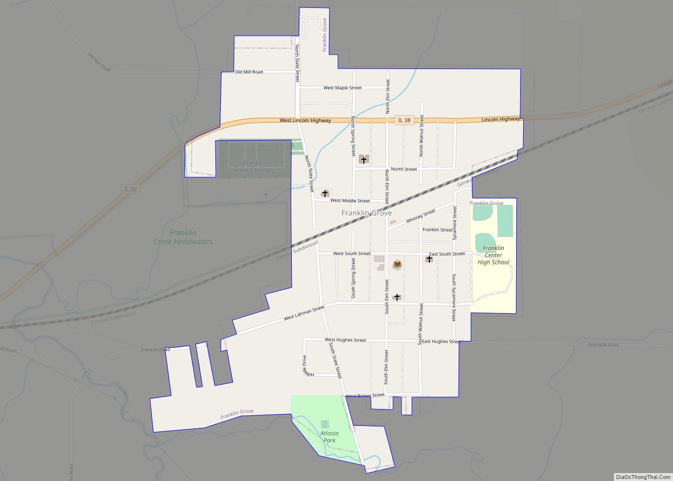
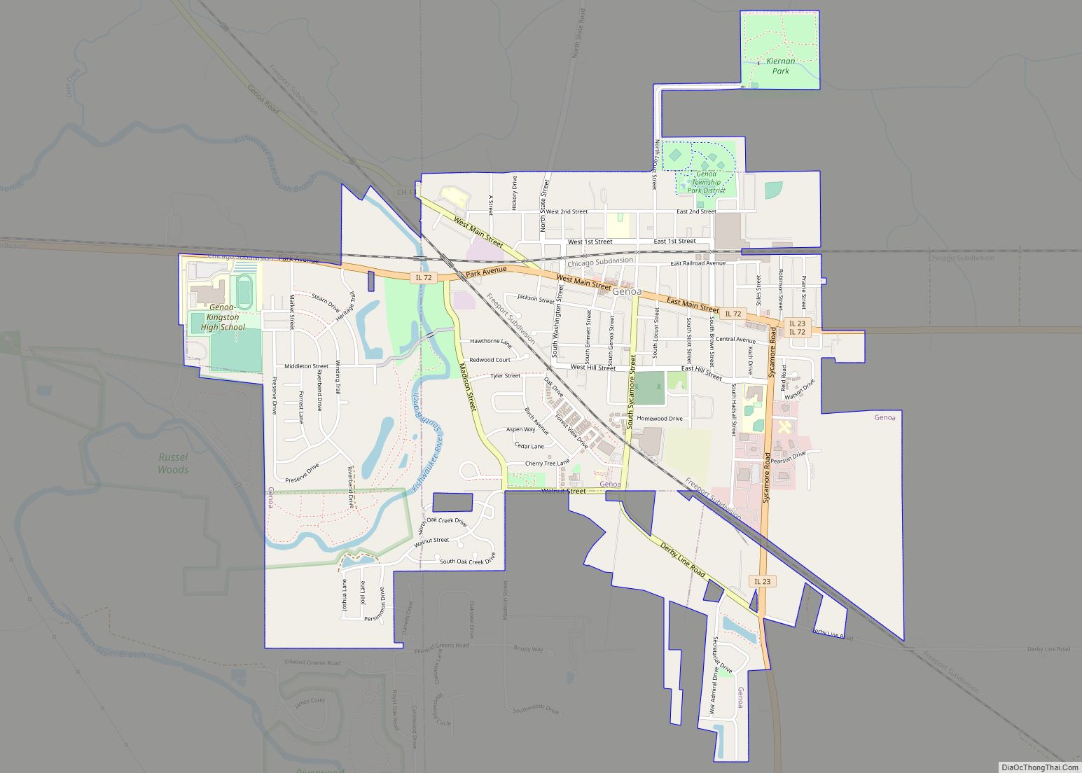
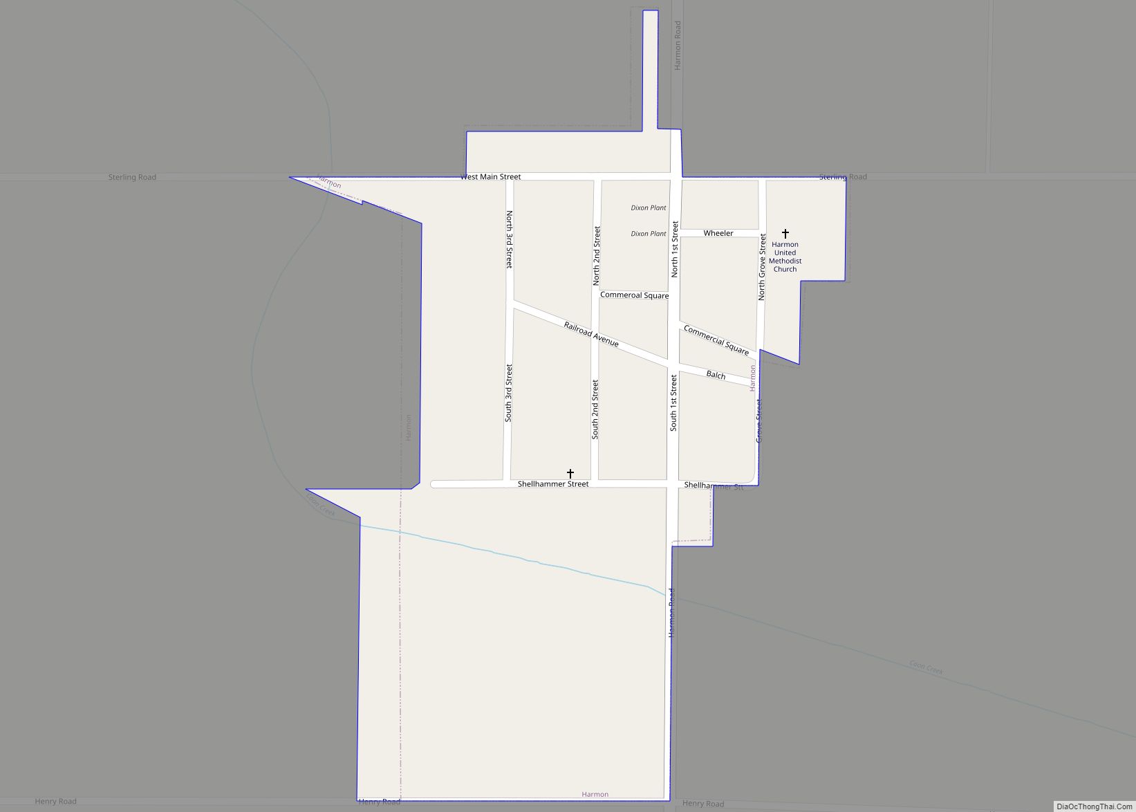
Online Interactive Map
Click on ![]() to view map in "full screen" mode.
to view map in "full screen" mode.
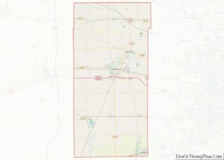
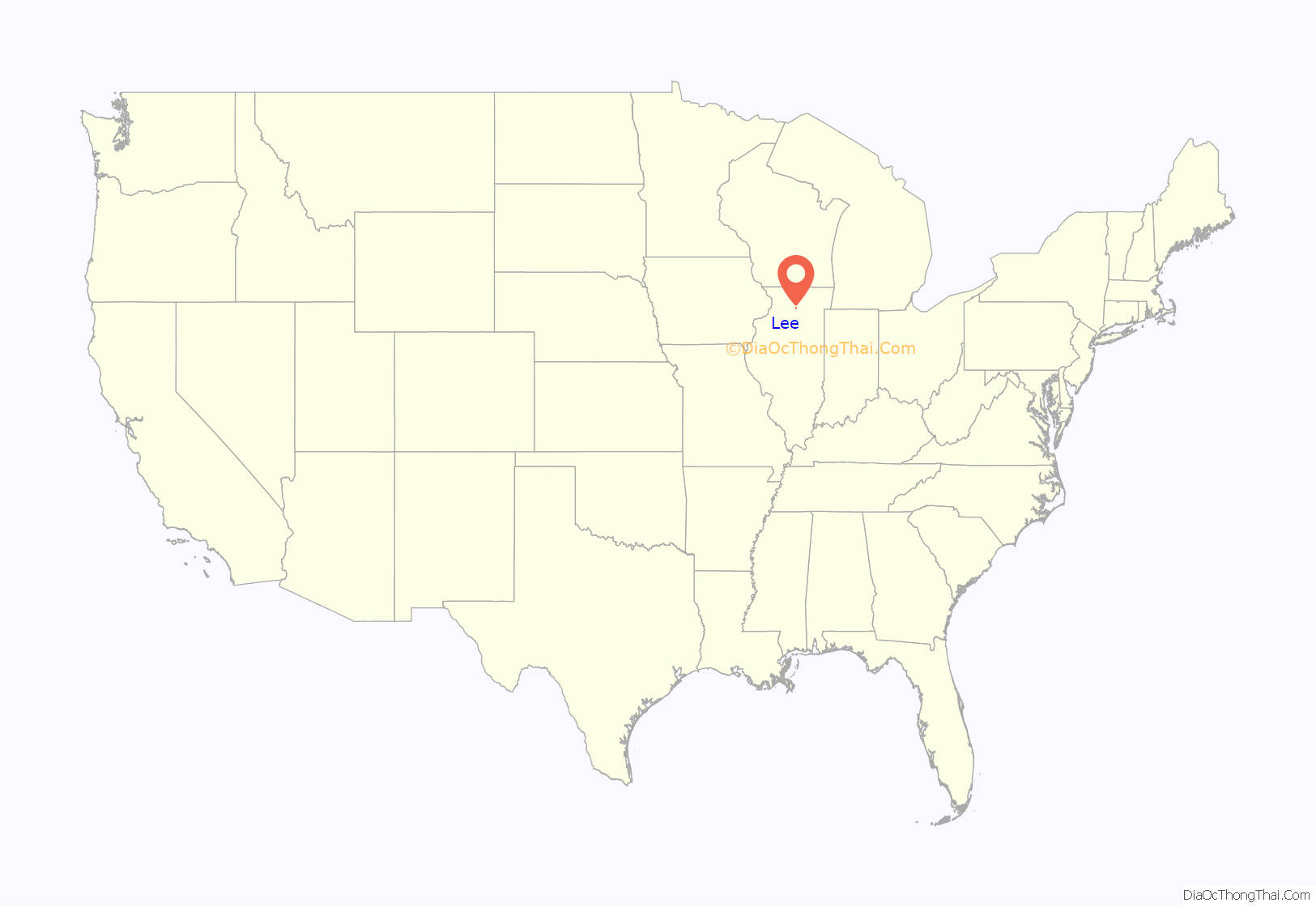
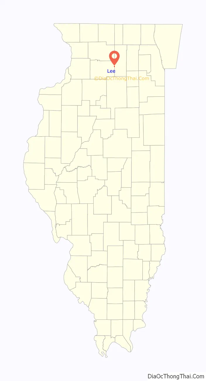
Lee location map. Where is Lee village?
History
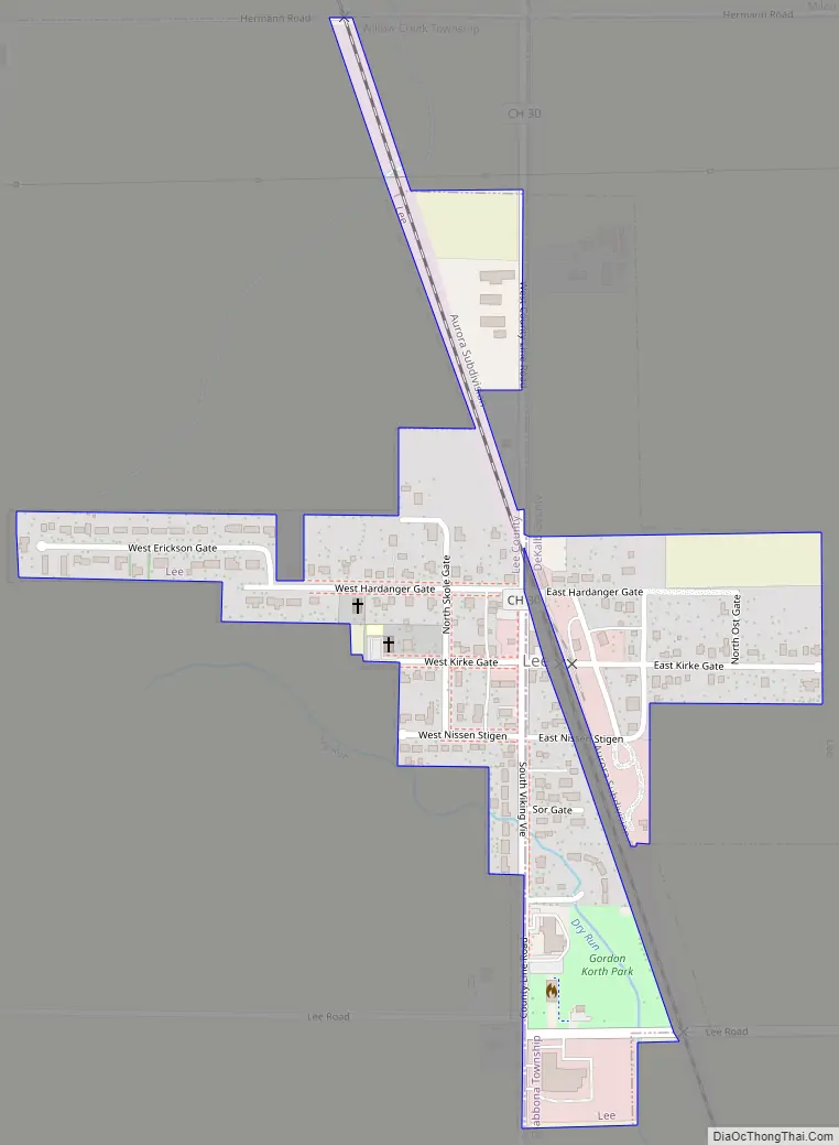
Lee is noted for its strong ties to Norwegian American culture. In fact, all of the streets in the village have Norwegian names. In 1974, in honor of the town’s centennial, a contest was held to rename the streets and Mary Ellen Prestegaard’s entry was chosen. She ran a shop in the village called the Hardanger Hus that sold Norwegian gifts. Many of the original citizens of the community came from the Hardanger region of Norway, and there are still many community members that can trace their ancestry back to that region.
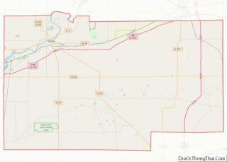
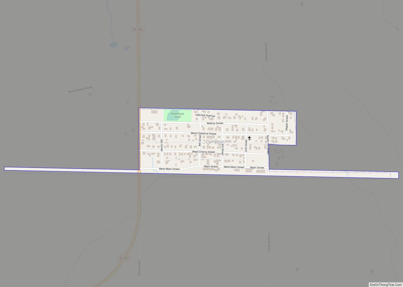
Lee Road Map
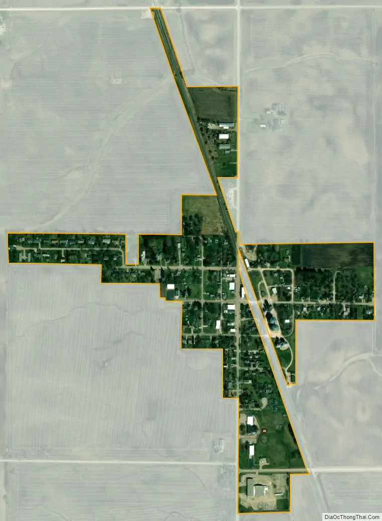
Lee city Satellite Map
Geography
Lee is located on the border of DeKalb and Lee counties at 41°47′39″N 88°56′27″W / 41.79417°N 88.94083°W / 41.79417; -88.94083 (41.794240, -88.940951). Viking Avenue, the main street of the village, follows the county line. It is 15 miles (24 km) southeast of Rochelle and 17 miles (27 km) southwest of DeKalb.
According to the 2021 census gazetteer files, Lee has a total area of 0.20 square miles (0.52 km), all land.
The Lee area is unique for a small village, in that the surrounding area is a part of four different watersheds. Northwest of the village is a part of the Rock River valley. Northeast of the village is a part of the Kishwaukee River valley. Southwest of the village is a part of the Green River valley. Southeast of the village is a part of the Fox River valley.
See also
Map of Illinois State and its subdivision:- Adams
- Alexander
- Bond
- Boone
- Brown
- Bureau
- Calhoun
- Carroll
- Cass
- Champaign
- Christian
- Clark
- Clay
- Clinton
- Coles
- Cook
- Crawford
- Cumberland
- De Kalb
- De Witt
- Douglas
- Dupage
- Edgar
- Edwards
- Effingham
- Fayette
- Ford
- Franklin
- Fulton
- Gallatin
- Greene
- Grundy
- Hamilton
- Hancock
- Hardin
- Henderson
- Henry
- Iroquois
- Jackson
- Jasper
- Jefferson
- Jersey
- Jo Daviess
- Johnson
- Kane
- Kankakee
- Kendall
- Knox
- La Salle
- Lake
- Lake Michigan
- Lawrence
- Lee
- Livingston
- Logan
- Macon
- Macoupin
- Madison
- Marion
- Marshall
- Mason
- Massac
- McDonough
- McHenry
- McLean
- Menard
- Mercer
- Monroe
- Montgomery
- Morgan
- Moultrie
- Ogle
- Peoria
- Perry
- Piatt
- Pike
- Pope
- Pulaski
- Putnam
- Randolph
- Richland
- Rock Island
- Saint Clair
- Saline
- Sangamon
- Schuyler
- Scott
- Shelby
- Stark
- Stephenson
- Tazewell
- Union
- Vermilion
- Wabash
- Warren
- Washington
- Wayne
- White
- Whiteside
- Will
- Williamson
- Winnebago
- Woodford
- Alabama
- Alaska
- Arizona
- Arkansas
- California
- Colorado
- Connecticut
- Delaware
- District of Columbia
- Florida
- Georgia
- Hawaii
- Idaho
- Illinois
- Indiana
- Iowa
- Kansas
- Kentucky
- Louisiana
- Maine
- Maryland
- Massachusetts
- Michigan
- Minnesota
- Mississippi
- Missouri
- Montana
- Nebraska
- Nevada
- New Hampshire
- New Jersey
- New Mexico
- New York
- North Carolina
- North Dakota
- Ohio
- Oklahoma
- Oregon
- Pennsylvania
- Rhode Island
- South Carolina
- South Dakota
- Tennessee
- Texas
- Utah
- Vermont
- Virginia
- Washington
- West Virginia
- Wisconsin
- Wyoming