Lily Lake is a small rural village in Kane County, Illinois, United States. The town is 15 miles (24 km) southwest of Elgin and 50 miles (80 km) west of Chicago. The village is in the far western part the Chicago metro area. It was incorporated as a village on November 6, 1990. The population was 1,032 at the 2020 census, up from 993 in 2010.
| Name: | Lily Lake village |
|---|---|
| LSAD Code: | 47 |
| LSAD Description: | village (suffix) |
| State: | Illinois |
| County: | Kane County |
| Total Area: | 2.72 sq mi (7.04 km²) |
| Land Area: | 2.72 sq mi (7.04 km²) |
| Water Area: | 0.00 sq mi (0.00 km²) |
| Total Population: | 1,032 |
| Population Density: | 379.83/sq mi (146.66/km²) |
| Area code: | 331 |
| FIPS code: | 1743406 |
| Website: | www.villageoflilylake.org |
Online Interactive Map
Click on ![]() to view map in "full screen" mode.
to view map in "full screen" mode.
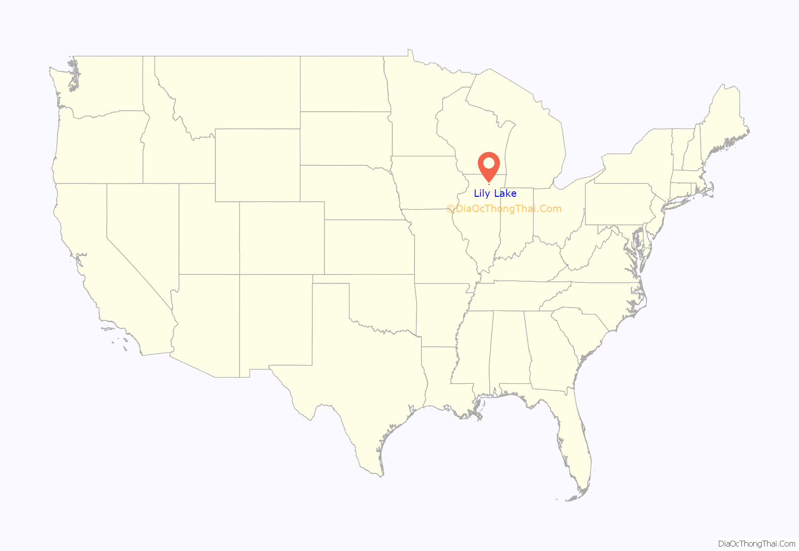
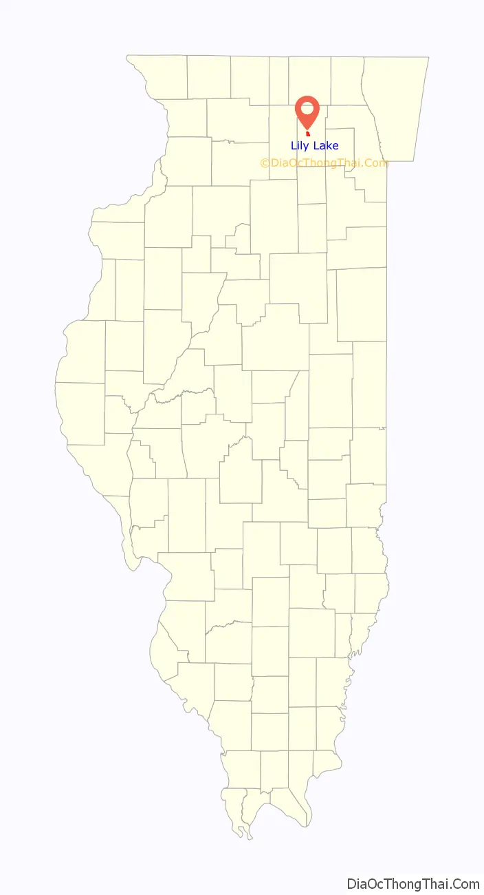
Lily Lake location map. Where is Lily Lake village?
History
Lily Lake was originally called “Canada Corners” (after the large number of Canadians settled there) and was located further north. The settlement shifted its location when the railroad was built and changed its name to “Lily Lake”, referring to a local lake.
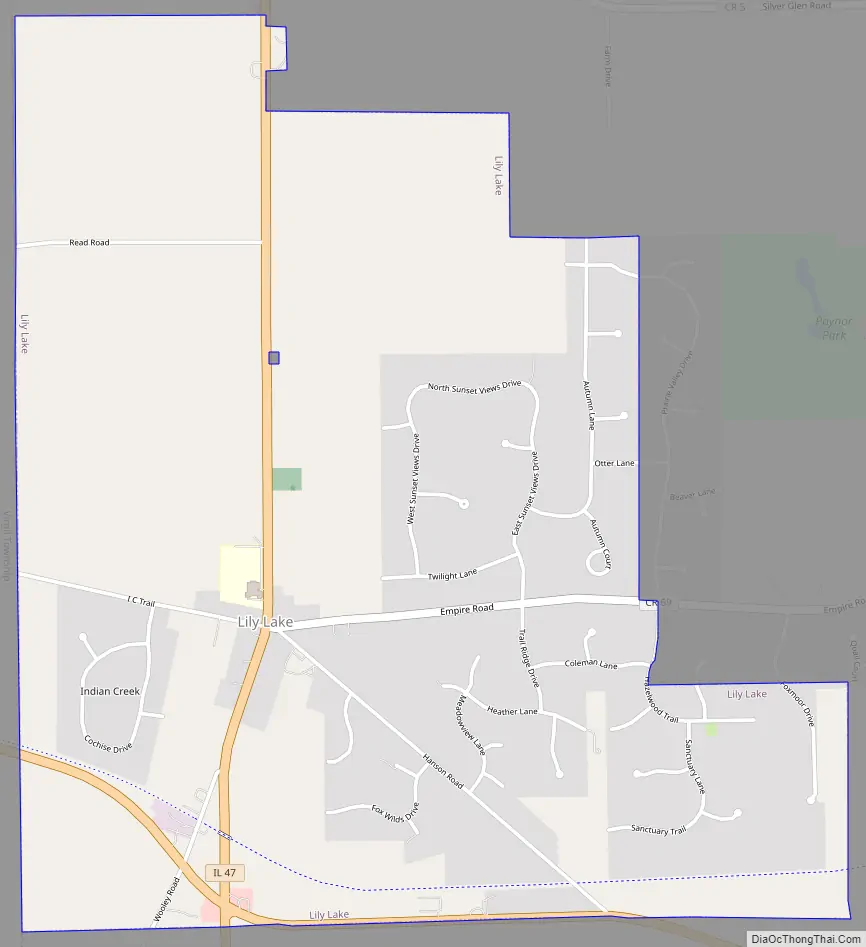
Lily Lake Road Map
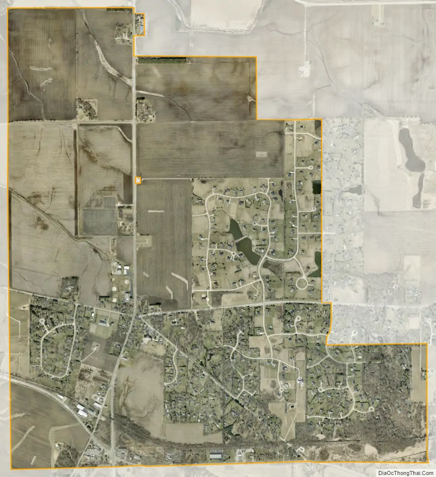
Lily Lake city Satellite Map
Geography
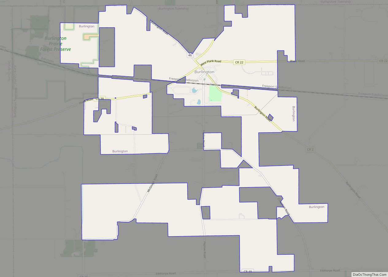
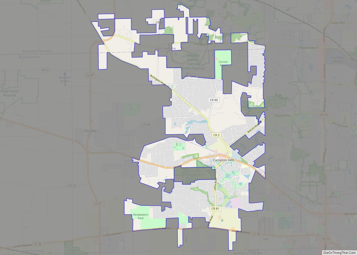
Lily Lake is located in west central Kane County at 41°56′33″N 88°28′15″W / 41.94250°N 88.47083°W / 41.94250; -88.47083 (41.942438, -88.470779), in the western part of Campton Township. Neighboring villages are Campton Hills to the east and Virgil to the west.
According to the 2010 census, Lily Lake has a total area of 2.741 square miles (7.10 km), of which 2.74 square miles (7.10 km) (or 99.96%) is land and 0.001 square miles (0.00 km) (or 0.04%) is water.
See also
Map of Illinois State and its subdivision:- Adams
- Alexander
- Bond
- Boone
- Brown
- Bureau
- Calhoun
- Carroll
- Cass
- Champaign
- Christian
- Clark
- Clay
- Clinton
- Coles
- Cook
- Crawford
- Cumberland
- De Kalb
- De Witt
- Douglas
- Dupage
- Edgar
- Edwards
- Effingham
- Fayette
- Ford
- Franklin
- Fulton
- Gallatin
- Greene
- Grundy
- Hamilton
- Hancock
- Hardin
- Henderson
- Henry
- Iroquois
- Jackson
- Jasper
- Jefferson
- Jersey
- Jo Daviess
- Johnson
- Kane
- Kankakee
- Kendall
- Knox
- La Salle
- Lake
- Lake Michigan
- Lawrence
- Lee
- Livingston
- Logan
- Macon
- Macoupin
- Madison
- Marion
- Marshall
- Mason
- Massac
- McDonough
- McHenry
- McLean
- Menard
- Mercer
- Monroe
- Montgomery
- Morgan
- Moultrie
- Ogle
- Peoria
- Perry
- Piatt
- Pike
- Pope
- Pulaski
- Putnam
- Randolph
- Richland
- Rock Island
- Saint Clair
- Saline
- Sangamon
- Schuyler
- Scott
- Shelby
- Stark
- Stephenson
- Tazewell
- Union
- Vermilion
- Wabash
- Warren
- Washington
- Wayne
- White
- Whiteside
- Will
- Williamson
- Winnebago
- Woodford
- Alabama
- Alaska
- Arizona
- Arkansas
- California
- Colorado
- Connecticut
- Delaware
- District of Columbia
- Florida
- Georgia
- Hawaii
- Idaho
- Illinois
- Indiana
- Iowa
- Kansas
- Kentucky
- Louisiana
- Maine
- Maryland
- Massachusetts
- Michigan
- Minnesota
- Mississippi
- Missouri
- Montana
- Nebraska
- Nevada
- New Hampshire
- New Jersey
- New Mexico
- New York
- North Carolina
- North Dakota
- Ohio
- Oklahoma
- Oregon
- Pennsylvania
- Rhode Island
- South Carolina
- South Dakota
- Tennessee
- Texas
- Utah
- Vermont
- Virginia
- Washington
- West Virginia
- Wisconsin
- Wyoming