Lindenhurst is a village in Lake County, Illinois, United States. Per the 2020 census, the population was 14,406. Lindenhurst lies within Lake Villa Township.
| Name: | Lindenhurst village |
|---|---|
| LSAD Code: | 47 |
| LSAD Description: | village (suffix) |
| State: | Illinois |
| County: | Lake County |
| Total Area: | 4.86 sq mi (12.60 km²) |
| Land Area: | 4.53 sq mi (11.72 km²) |
| Water Area: | 0.34 sq mi (0.87 km²) |
| Total Population: | 14,406 |
| Population Density: | 3,182.24/sq mi (1,228.77/km²) |
| Area code: | 847 |
| FIPS code: | 1743770 |
| Website: | www.lindenhurstil.org |
Online Interactive Map
Click on ![]() to view map in "full screen" mode.
to view map in "full screen" mode.
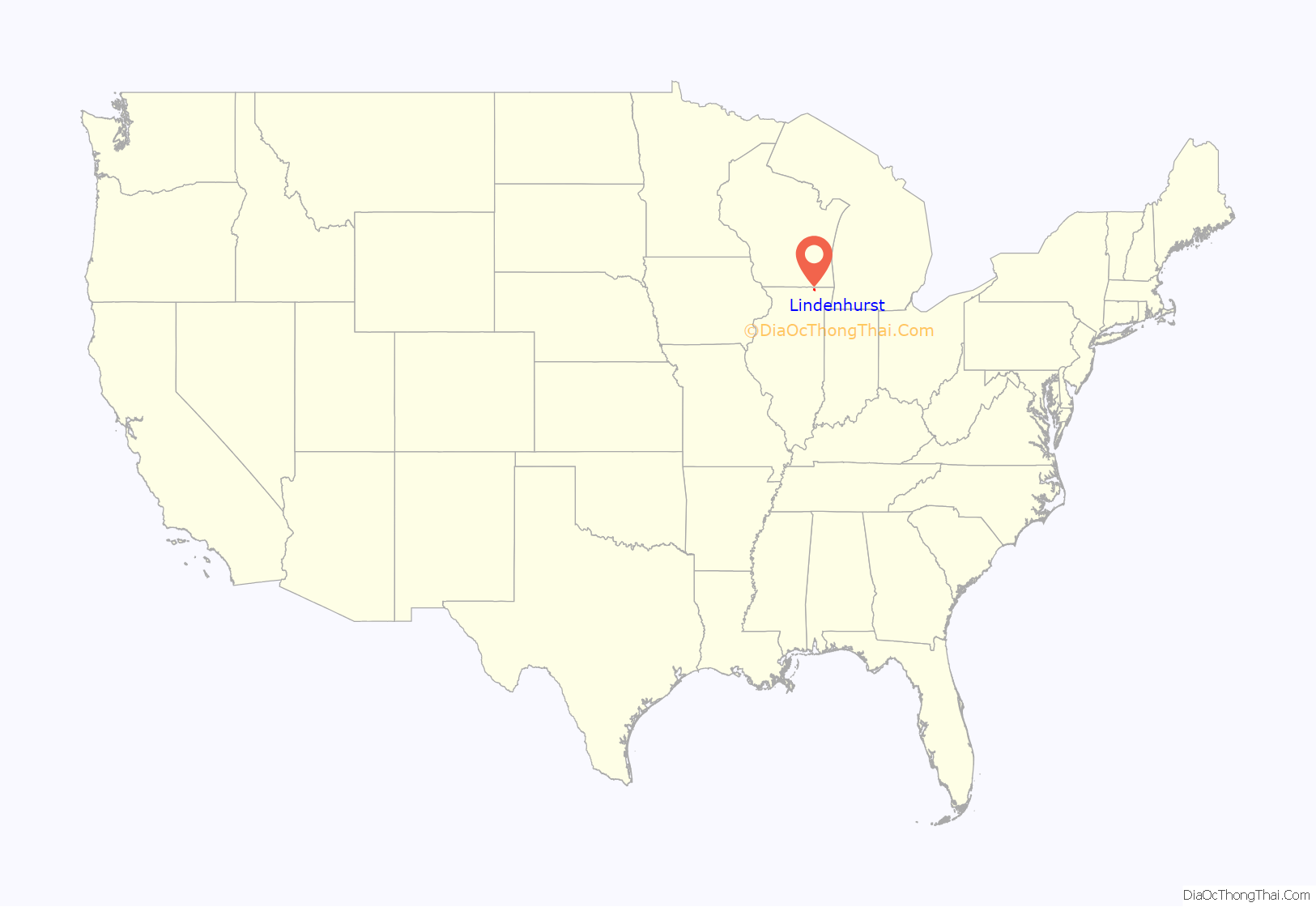
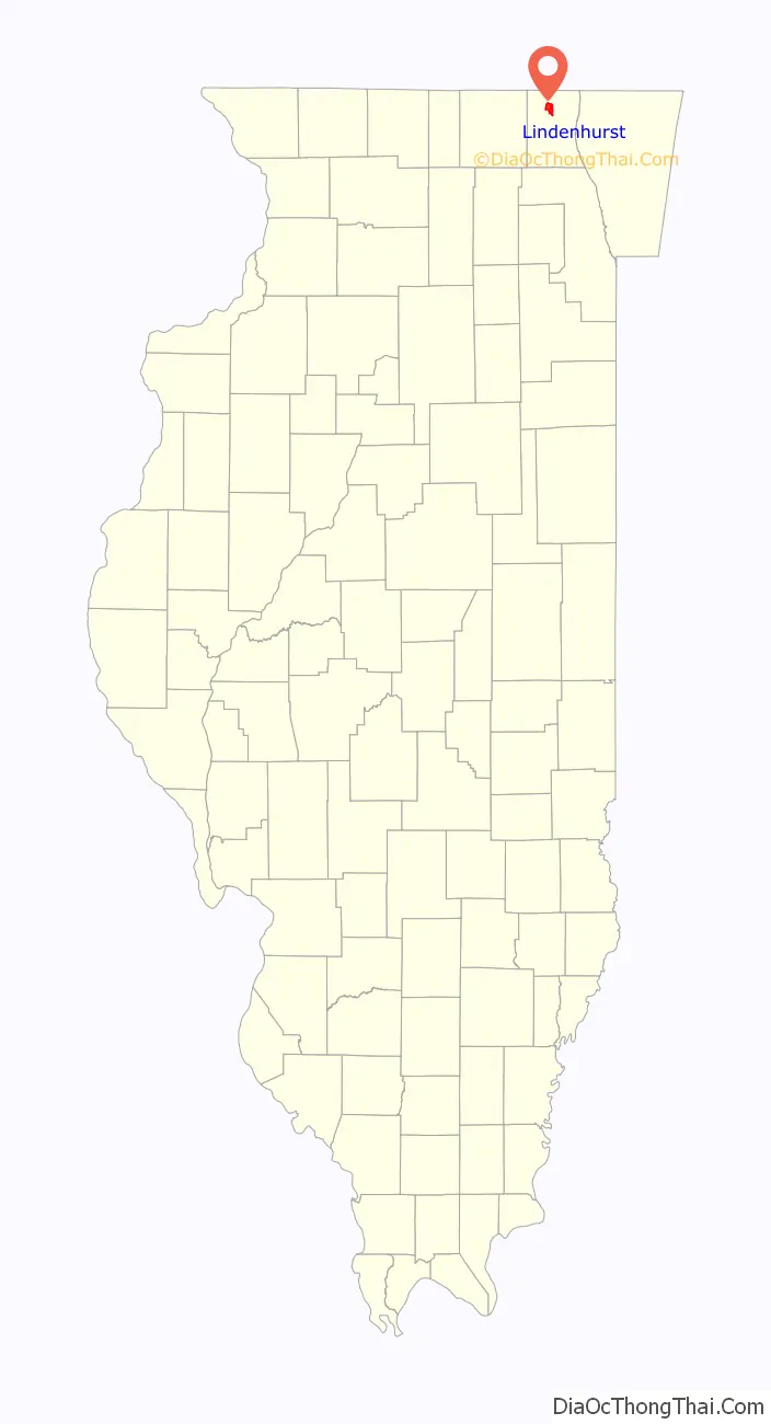
Lindenhurst location map. Where is Lindenhurst village?
History
The Village of Lindenhurst lies within the Valparaiso moraine from the most recent Ice Age. The area is rich in lakes and swamp land; it was inhabited by the Potawatomi Indian tribe, who mixed agriculture with hunting and fishing. The rich soil ultimately attracted European farmers. An expedition led by Colbee Benton in the 1830s was followed by treaties by which the Potawatomi, the Sauk and the Blackhawk Tribes agreed to leave the area. Most Euro-American settlers came from the east coast, the first recorded being the Pennsylvanian Noer Potter. There were also a number of early Scottish, German and English arrivals.
Incorporation papers for Lindenhurst were filed in November 1956 with Lake County Judge Minard Hulse. The first village officials were elected in a December 1956 election, with 90% voter turnout. The village was incorporated on January 16, 1957.
The first village president was Lee R. Lewis, and meetings were held on Saturdays to accommodate the commuting members of the board and community. The first meeting was held in the home of trustee Helen Skelton. Another election – mandated by law – was held in April 1957, and Robert Randall was elected the new president. The board held fundraisers like dances to purchase such things as stationery and record books. After his first year in office, President Randall reflected on the successes: ordinances and zoning laws had been passed, roads were being graded, snow removed, and police were patrolling the village. Running water from a tower near Fairfield Road and Hawthorne Drive arrived in the late 1950s.
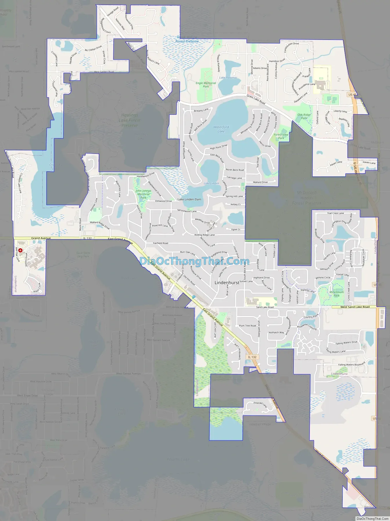
Lindenhurst Road Map
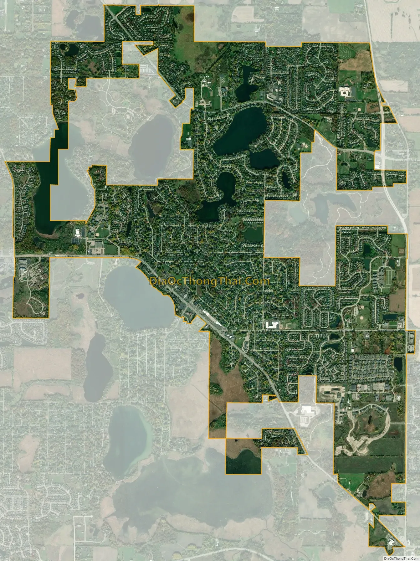
Lindenhurst city Satellite Map
Geography
Lindenhurst is located at 42°24′37″N 88°1′34″W / 42.41028°N 88.02611°W / 42.41028; -88.02611 (42.41053, -88.02624).
According to the 2010 census, Lindenhurst has a total area of 4.774 square miles (12.36 km), of which 4.44 square miles (11.50 km) (or 93%) is land and 0.334 square miles (0.87 km) (or 7%) is water.
Lindenhurst’s first stop light was erected at Grand Avenue and Sand Lake Road in the 1980s.
Although part of the Lake Villa Township, many people know Lindenhurst as “A town bordering Antioch”.
Major streets
- Grand Avenue
- Grass Lake Road
- Savage Road
- Gelden Road
- Deep Lake Road
- Granada Boulevard
- Sand Lake Road
- Beck Road
See also
Map of Illinois State and its subdivision:- Adams
- Alexander
- Bond
- Boone
- Brown
- Bureau
- Calhoun
- Carroll
- Cass
- Champaign
- Christian
- Clark
- Clay
- Clinton
- Coles
- Cook
- Crawford
- Cumberland
- De Kalb
- De Witt
- Douglas
- Dupage
- Edgar
- Edwards
- Effingham
- Fayette
- Ford
- Franklin
- Fulton
- Gallatin
- Greene
- Grundy
- Hamilton
- Hancock
- Hardin
- Henderson
- Henry
- Iroquois
- Jackson
- Jasper
- Jefferson
- Jersey
- Jo Daviess
- Johnson
- Kane
- Kankakee
- Kendall
- Knox
- La Salle
- Lake
- Lake Michigan
- Lawrence
- Lee
- Livingston
- Logan
- Macon
- Macoupin
- Madison
- Marion
- Marshall
- Mason
- Massac
- McDonough
- McHenry
- McLean
- Menard
- Mercer
- Monroe
- Montgomery
- Morgan
- Moultrie
- Ogle
- Peoria
- Perry
- Piatt
- Pike
- Pope
- Pulaski
- Putnam
- Randolph
- Richland
- Rock Island
- Saint Clair
- Saline
- Sangamon
- Schuyler
- Scott
- Shelby
- Stark
- Stephenson
- Tazewell
- Union
- Vermilion
- Wabash
- Warren
- Washington
- Wayne
- White
- Whiteside
- Will
- Williamson
- Winnebago
- Woodford
- Alabama
- Alaska
- Arizona
- Arkansas
- California
- Colorado
- Connecticut
- Delaware
- District of Columbia
- Florida
- Georgia
- Hawaii
- Idaho
- Illinois
- Indiana
- Iowa
- Kansas
- Kentucky
- Louisiana
- Maine
- Maryland
- Massachusetts
- Michigan
- Minnesota
- Mississippi
- Missouri
- Montana
- Nebraska
- Nevada
- New Hampshire
- New Jersey
- New Mexico
- New York
- North Carolina
- North Dakota
- Ohio
- Oklahoma
- Oregon
- Pennsylvania
- Rhode Island
- South Carolina
- South Dakota
- Tennessee
- Texas
- Utah
- Vermont
- Virginia
- Washington
- West Virginia
- Wisconsin
- Wyoming


