Long Grove is a village in Lake County, Illinois, United States, approximately 35 miles (56 km) away from and a northwest suburb of Chicago. Per the 2020 census, the population was 8,366. The village has strict building ordinances to preserve its “country atmosphere”.
| Name: | Long Grove village |
|---|---|
| LSAD Code: | 47 |
| LSAD Description: | village (suffix) |
| State: | Illinois |
| County: | Lake County |
| Incorporated: | 1956 |
| Total Area: | 12.61 sq mi (32.65 km²) |
| Land Area: | 12.39 sq mi (32.08 km²) |
| Water Area: | 0.22 sq mi (0.57 km²) 1.89% |
| Total Population: | 8,366 |
| Population Density: | 675.39/sq mi (260.77/km²) |
| Area code: | 847 & 224 |
| FIPS code: | 1744524 |
| Website: | www.longgroveil.gov |
Online Interactive Map
Click on ![]() to view map in "full screen" mode.
to view map in "full screen" mode.
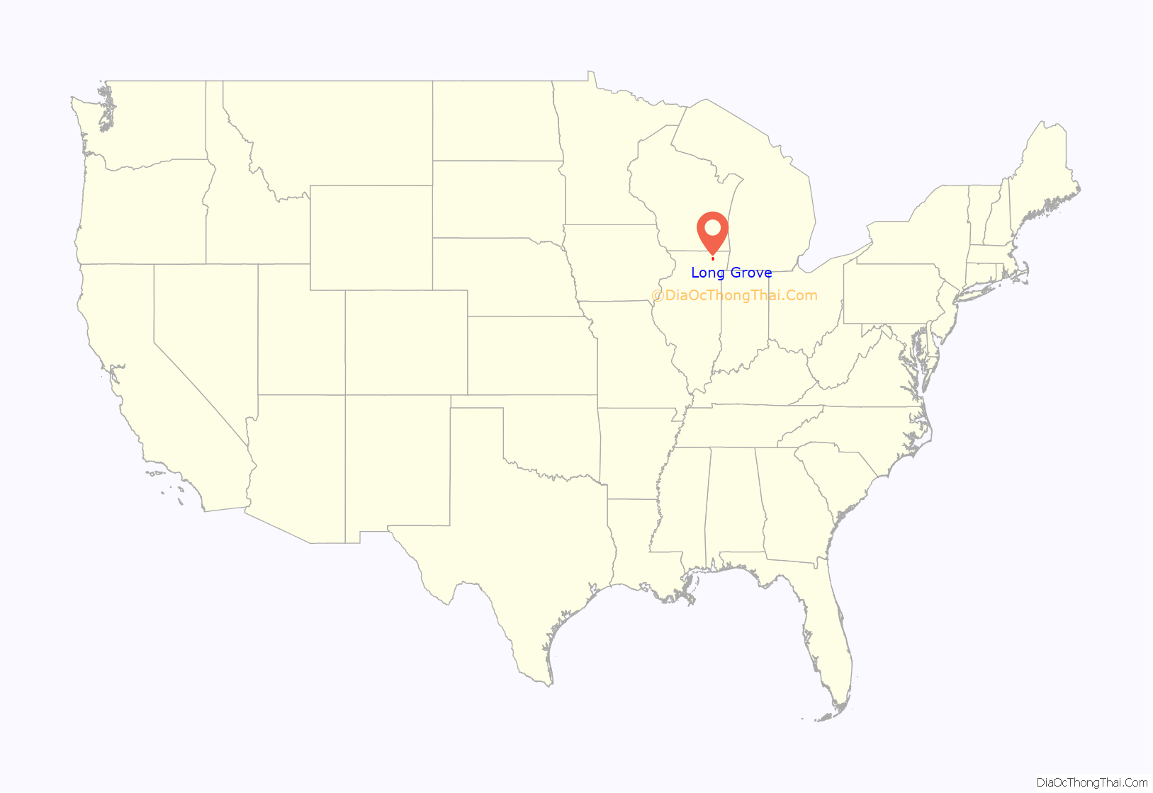
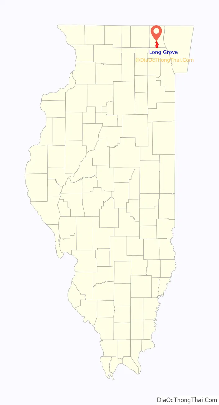
Long Grove location map. Where is Long Grove village?
History
The village now has very strict building ordinances to preserve its “pristine rural charm”, including prohibitions on sidewalks, fences, and residential street lights. The Long Grove area is now known for its historic downtown, its exclusive million dollar homes and the annual events including the chocolate, strawberry and apple festivals that take place in May, June and September, respectively. The Robert Parker Coffin Bridge, on the edge of the city’s downtown, is a historic 1906 bridge that is featured on the Long Grove’s logo and welcome signs. Due to the 8-foot-6-inch (2.59 m) clearance height of its covering, it has been struck by vehicles dozens of times in recent years.
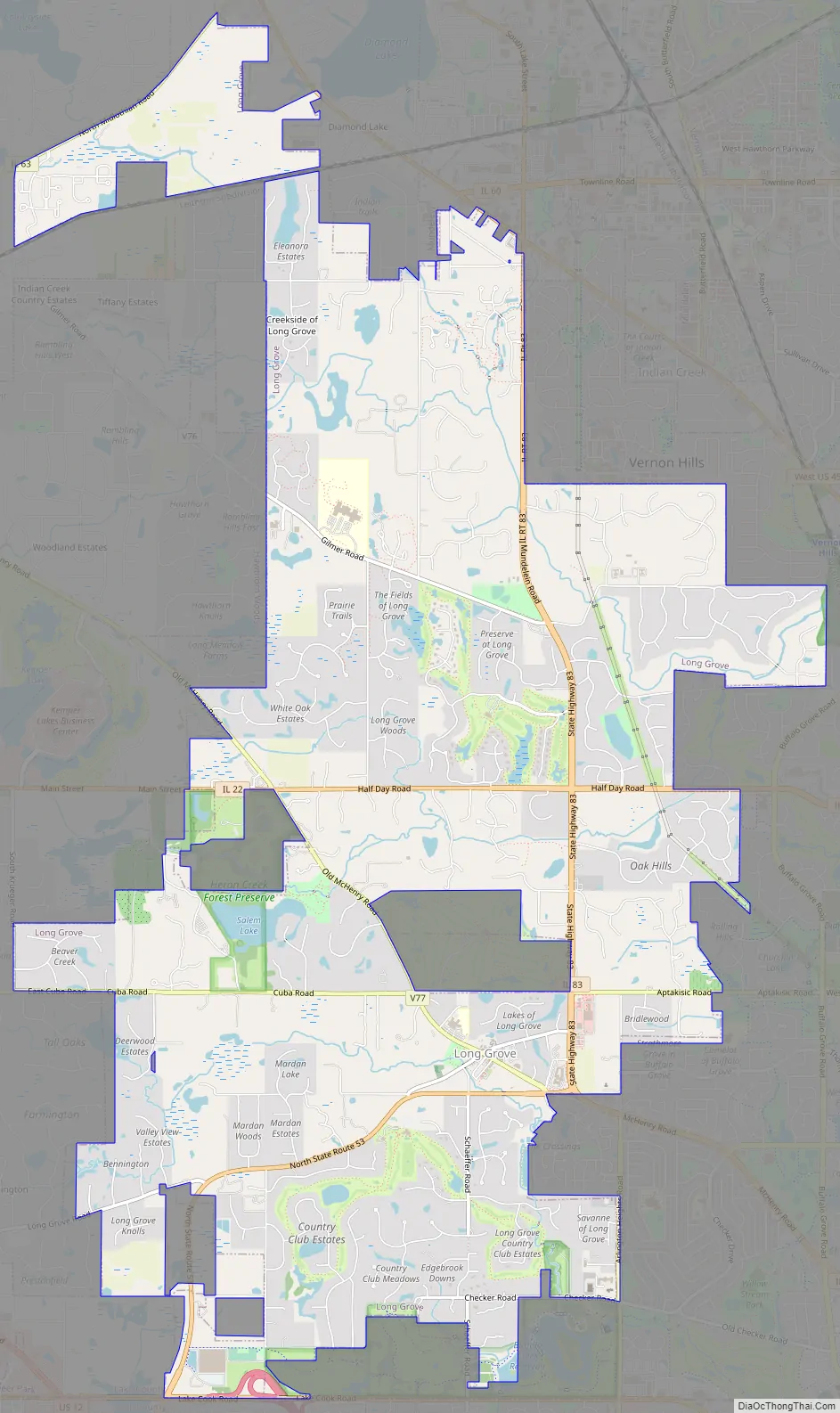
Long Grove Road Map
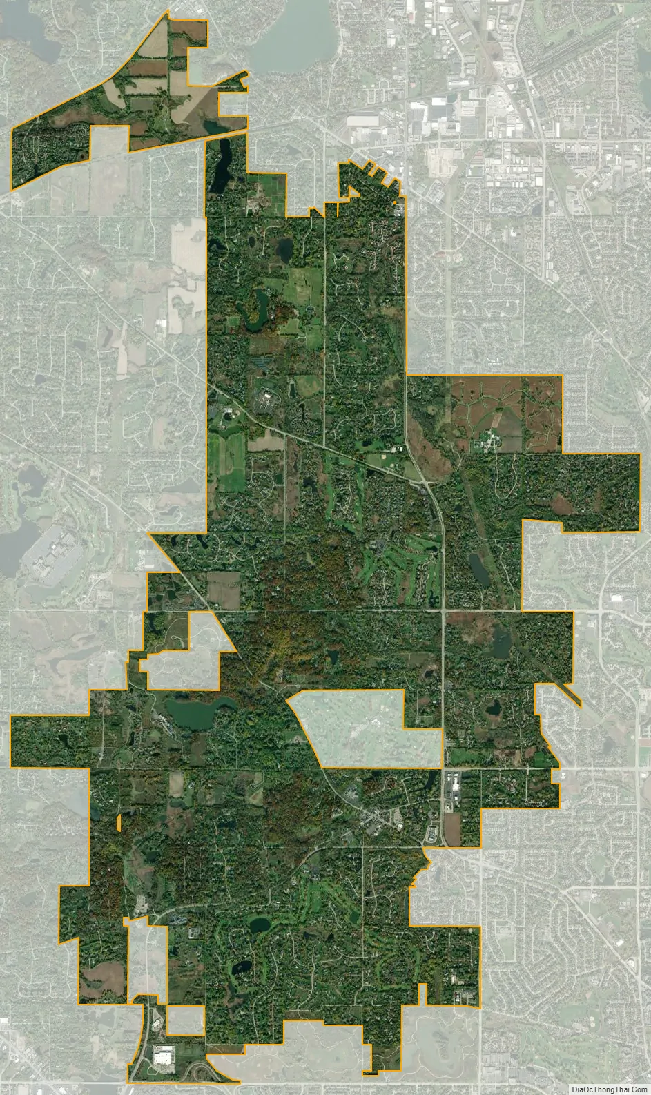
Long Grove city Satellite Map
Geography
According to the 2010 census, Long Grove has a total area of 12.715 square miles (32.93 km), of which 12.48 square miles (32.32 km) (or 98.15%) is land and 0.235 square miles (0.61 km) (or 1.85%) is water.
See also
Map of Illinois State and its subdivision:- Adams
- Alexander
- Bond
- Boone
- Brown
- Bureau
- Calhoun
- Carroll
- Cass
- Champaign
- Christian
- Clark
- Clay
- Clinton
- Coles
- Cook
- Crawford
- Cumberland
- De Kalb
- De Witt
- Douglas
- Dupage
- Edgar
- Edwards
- Effingham
- Fayette
- Ford
- Franklin
- Fulton
- Gallatin
- Greene
- Grundy
- Hamilton
- Hancock
- Hardin
- Henderson
- Henry
- Iroquois
- Jackson
- Jasper
- Jefferson
- Jersey
- Jo Daviess
- Johnson
- Kane
- Kankakee
- Kendall
- Knox
- La Salle
- Lake
- Lake Michigan
- Lawrence
- Lee
- Livingston
- Logan
- Macon
- Macoupin
- Madison
- Marion
- Marshall
- Mason
- Massac
- McDonough
- McHenry
- McLean
- Menard
- Mercer
- Monroe
- Montgomery
- Morgan
- Moultrie
- Ogle
- Peoria
- Perry
- Piatt
- Pike
- Pope
- Pulaski
- Putnam
- Randolph
- Richland
- Rock Island
- Saint Clair
- Saline
- Sangamon
- Schuyler
- Scott
- Shelby
- Stark
- Stephenson
- Tazewell
- Union
- Vermilion
- Wabash
- Warren
- Washington
- Wayne
- White
- Whiteside
- Will
- Williamson
- Winnebago
- Woodford
- Alabama
- Alaska
- Arizona
- Arkansas
- California
- Colorado
- Connecticut
- Delaware
- District of Columbia
- Florida
- Georgia
- Hawaii
- Idaho
- Illinois
- Indiana
- Iowa
- Kansas
- Kentucky
- Louisiana
- Maine
- Maryland
- Massachusetts
- Michigan
- Minnesota
- Mississippi
- Missouri
- Montana
- Nebraska
- Nevada
- New Hampshire
- New Jersey
- New Mexico
- New York
- North Carolina
- North Dakota
- Ohio
- Oklahoma
- Oregon
- Pennsylvania
- Rhode Island
- South Carolina
- South Dakota
- Tennessee
- Texas
- Utah
- Vermont
- Virginia
- Washington
- West Virginia
- Wisconsin
- Wyoming


