Long Lake is an unincorporated community and census-designated place (CDP) in Lake County, Illinois, United States. Per the 2020 census, the population was 3,663.
| Name: | Long Lake CDP |
|---|---|
| LSAD Code: | 57 |
| LSAD Description: | CDP (suffix) |
| State: | Illinois |
| County: | Lake County |
| Total Area: | 1.78 sq mi (4.61 km²) |
| Land Area: | 1.18 sq mi (3.06 km²) |
| Water Area: | 0.60 sq mi (1.55 km²) |
| Total Population: | 3,663 |
| Population Density: | 3,104.24/sq mi (1,198.51/km²) |
| FIPS code: | 1744550 |
Online Interactive Map
Click on ![]() to view map in "full screen" mode.
to view map in "full screen" mode.
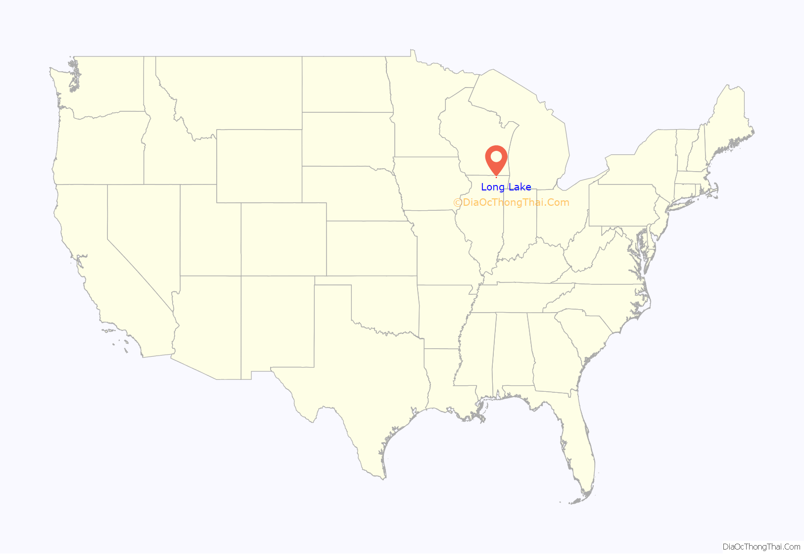
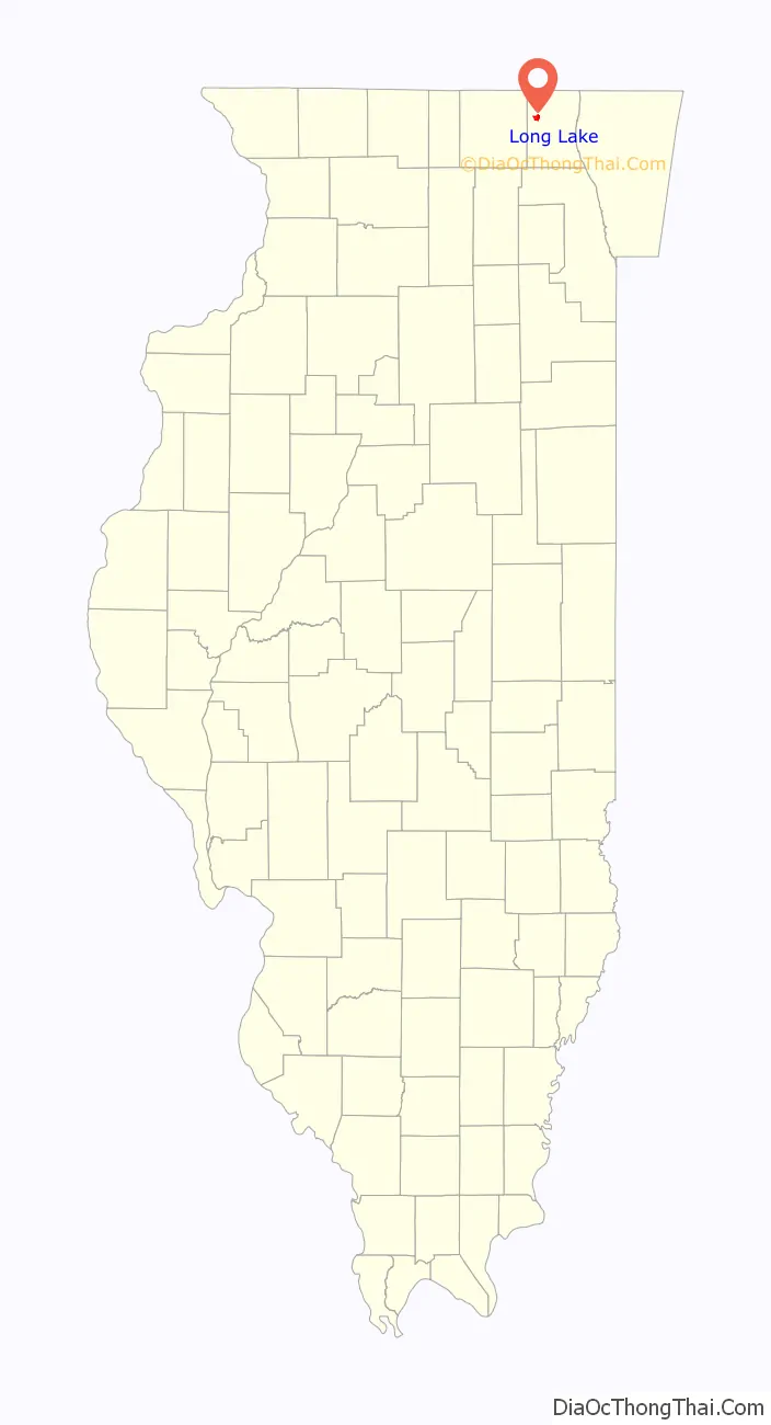
Long Lake location map. Where is Long Lake CDP?
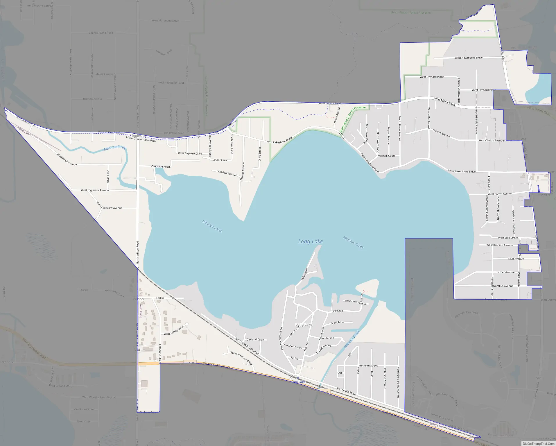
Long Lake Road Map
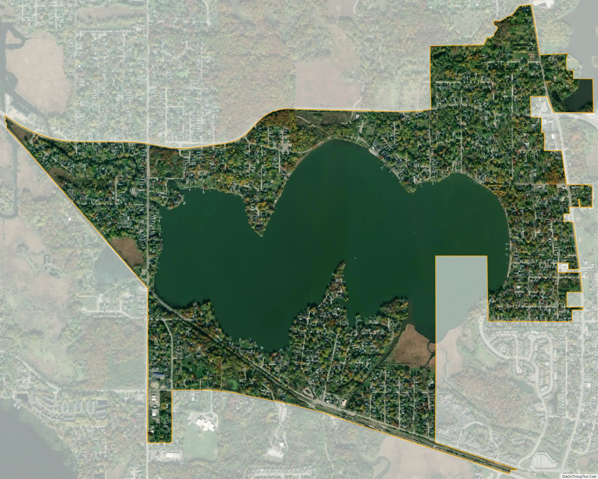
Long Lake city Satellite Map
Geography
The community is in western Lake County and nearly surrounds Long Lake, which drains northwest via Squaw Creek to Fox Lake, part of the Chain O’Lakes of northern Illinois. The CDP is bordered to the northeast by the village of Round Lake Heights and to the east and south by the village of Round Lake Beach. The CDP is primarily in the eastern part of Grant Township, with a smaller portion in the northwest corner of Avon Township, and an area of about one city block in the southwest corner of Lake Villa Township.
Illinois Route 134 runs along the southern edge of the CDP, leading west 2 miles (3 km) to U.S. Route 12 in the southern part of Fox Lake and southeast through Round Lake Beach 3.5 miles (5.6 km) to Hainesville. Long Lake is 46 miles (74 km) northwest of downtown Chicago.
According to the United States Census Bureau, the CDP has a total area of 1.6 square miles (4.1 km), of which 1.0 square mile (2.6 km) are land and 0.58 square miles (1.5 km), or 36.72%, are water.
See also
Map of Illinois State and its subdivision:- Adams
- Alexander
- Bond
- Boone
- Brown
- Bureau
- Calhoun
- Carroll
- Cass
- Champaign
- Christian
- Clark
- Clay
- Clinton
- Coles
- Cook
- Crawford
- Cumberland
- De Kalb
- De Witt
- Douglas
- Dupage
- Edgar
- Edwards
- Effingham
- Fayette
- Ford
- Franklin
- Fulton
- Gallatin
- Greene
- Grundy
- Hamilton
- Hancock
- Hardin
- Henderson
- Henry
- Iroquois
- Jackson
- Jasper
- Jefferson
- Jersey
- Jo Daviess
- Johnson
- Kane
- Kankakee
- Kendall
- Knox
- La Salle
- Lake
- Lake Michigan
- Lawrence
- Lee
- Livingston
- Logan
- Macon
- Macoupin
- Madison
- Marion
- Marshall
- Mason
- Massac
- McDonough
- McHenry
- McLean
- Menard
- Mercer
- Monroe
- Montgomery
- Morgan
- Moultrie
- Ogle
- Peoria
- Perry
- Piatt
- Pike
- Pope
- Pulaski
- Putnam
- Randolph
- Richland
- Rock Island
- Saint Clair
- Saline
- Sangamon
- Schuyler
- Scott
- Shelby
- Stark
- Stephenson
- Tazewell
- Union
- Vermilion
- Wabash
- Warren
- Washington
- Wayne
- White
- Whiteside
- Will
- Williamson
- Winnebago
- Woodford
- Alabama
- Alaska
- Arizona
- Arkansas
- California
- Colorado
- Connecticut
- Delaware
- District of Columbia
- Florida
- Georgia
- Hawaii
- Idaho
- Illinois
- Indiana
- Iowa
- Kansas
- Kentucky
- Louisiana
- Maine
- Maryland
- Massachusetts
- Michigan
- Minnesota
- Mississippi
- Missouri
- Montana
- Nebraska
- Nevada
- New Hampshire
- New Jersey
- New Mexico
- New York
- North Carolina
- North Dakota
- Ohio
- Oklahoma
- Oregon
- Pennsylvania
- Rhode Island
- South Carolina
- South Dakota
- Tennessee
- Texas
- Utah
- Vermont
- Virginia
- Washington
- West Virginia
- Wisconsin
- Wyoming


