Maeystown is a village in Monroe County, Illinois, United States. The population was 150 at the 2020 census.
| Name: | Maeystown village |
|---|---|
| LSAD Code: | 47 |
| LSAD Description: | village (suffix) |
| State: | Illinois |
| County: | Monroe County |
| Founded: | 1904 |
| Elevation: | 490 ft (150 m) |
| Total Area: | 0.30 sq mi (0.77 km²) |
| Land Area: | 0.29 sq mi (0.76 km²) |
| Water Area: | 0.00 sq mi (0.01 km²) |
| Total Population: | 150 |
| Population Density: | 508.47/sq mi (196.26/km²) |
| ZIP code: | 62256 |
| Area code: | 618 |
| FIPS code: | 1746058 |
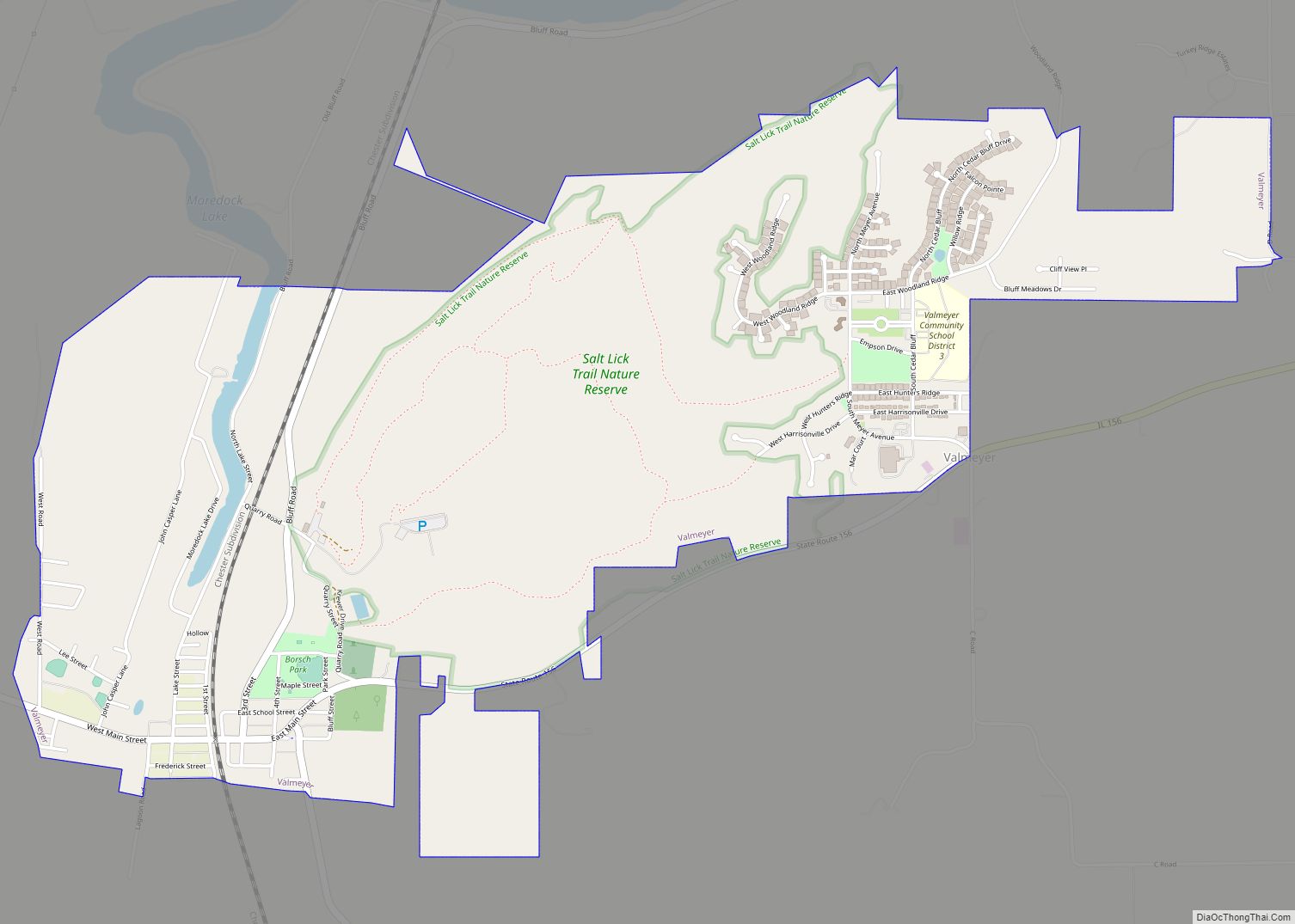
Online Interactive Map
Click on ![]() to view map in "full screen" mode.
to view map in "full screen" mode.
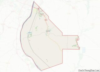
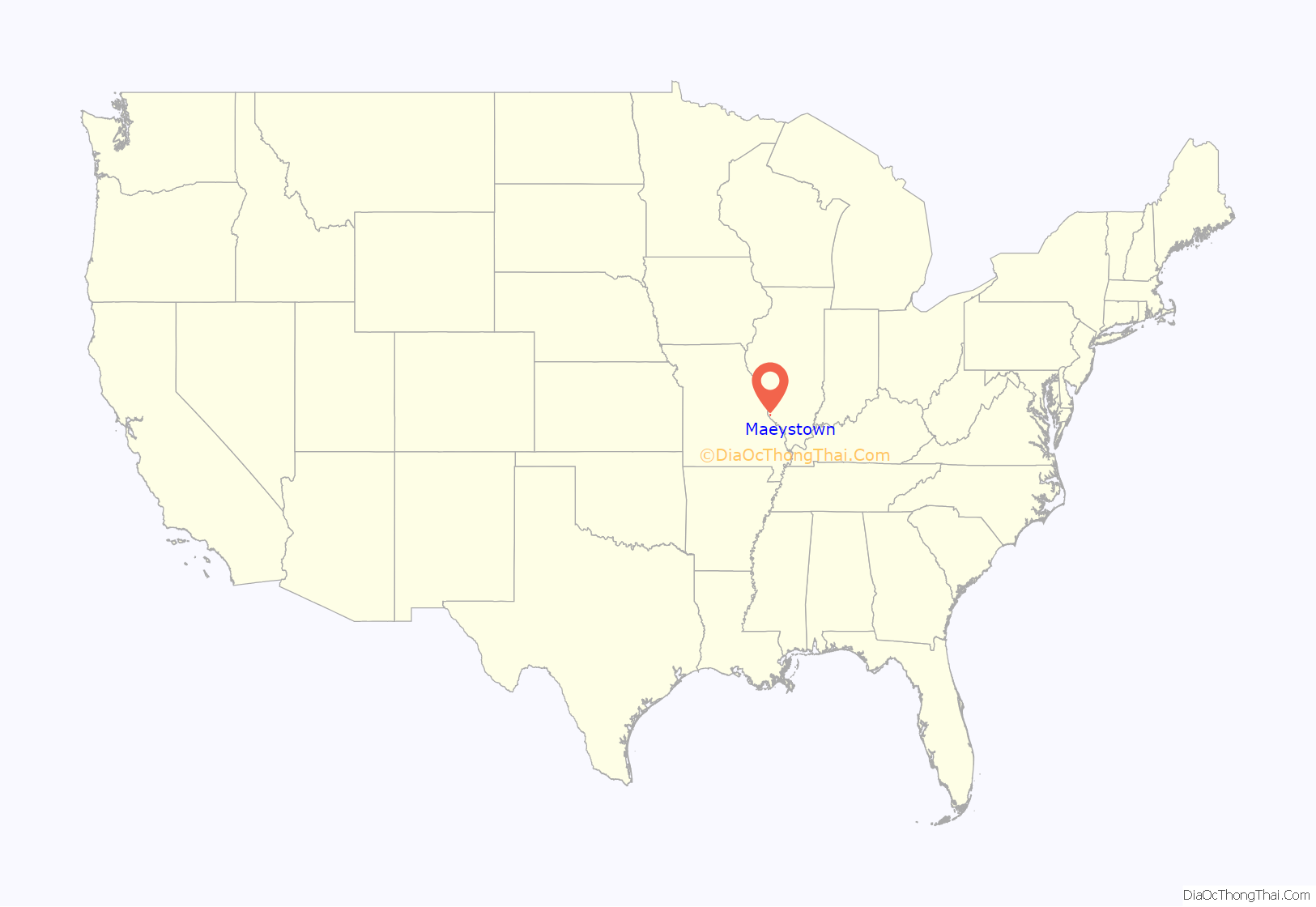
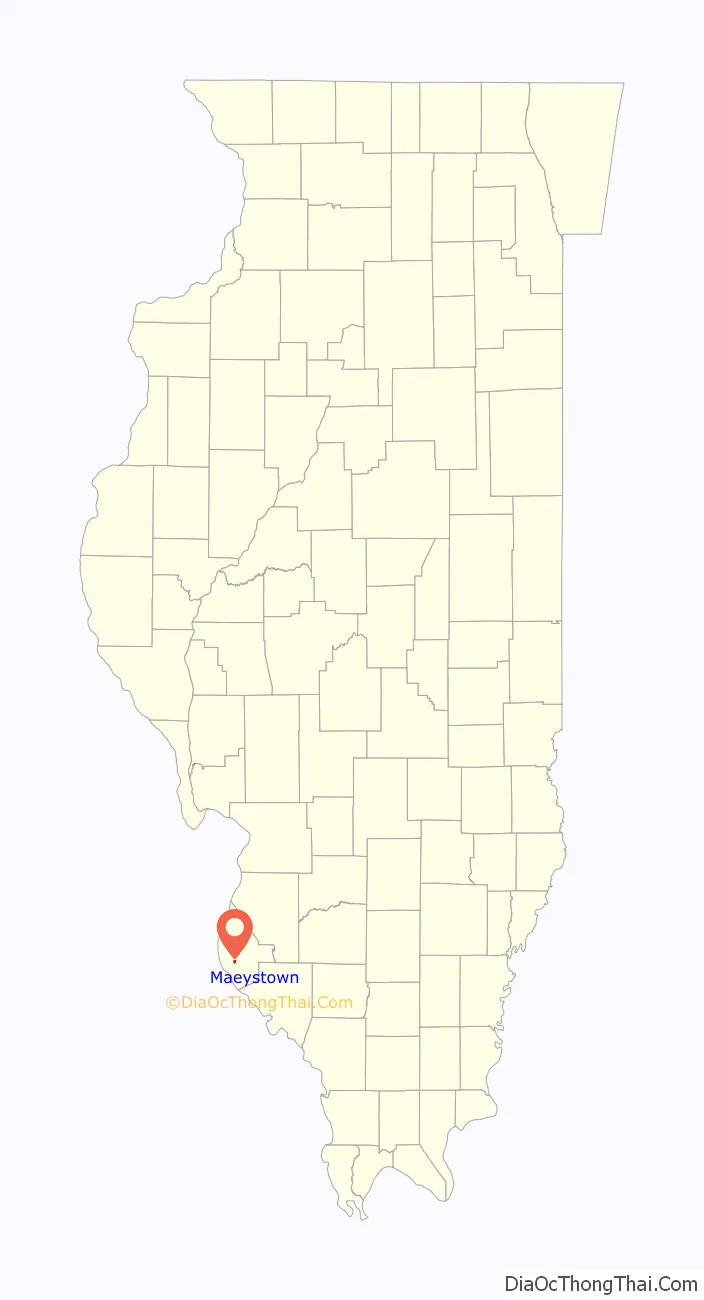
Maeystown location map. Where is Maeystown village?
History
The history of the tract of land where what is now Maeystown is situated, began sometime after 1782, when a soldier of the American Revolution, one James McRoberts, staked a claim of 100 acres (40 ha) (Survey 704; Claim 316). He subsequently left the Illinois Territory for Tennessee, where he married Mary Fletcher-Harris, and returned in 1797, adding another 100 acres (0.40 km) to his holdings. It was on this second tract that he built his home, from cedar logs, and here he raised his family. McRoberts fathered ten children, the eldest, Samuel McRoberts, being the first native-born Illinoisan to serve in the United States Senate.
Maeystown may be said to have begun its growth as a town in the year 1852, when Jacob Maeys built a sawmill on what had become known as McRoberts Meadow, which he purchased in 1848. For a year after its construction the mill remained idle, on account of there not being sufficient water to drive it. Steam engines were then put in place, and the mill successfully operated. The first store was opened in 1858 by Jacob Maeys in partnership with Judge Abraham Poston. By this time some half a dozen houses had been erected in the place. A town had been surveyed and laid off in 1856 by Maeys, and called “Maeysville”. A post office was established in 1860, which changed the name to Maeystown, with Jacob Maeys appointed as first postmaster.
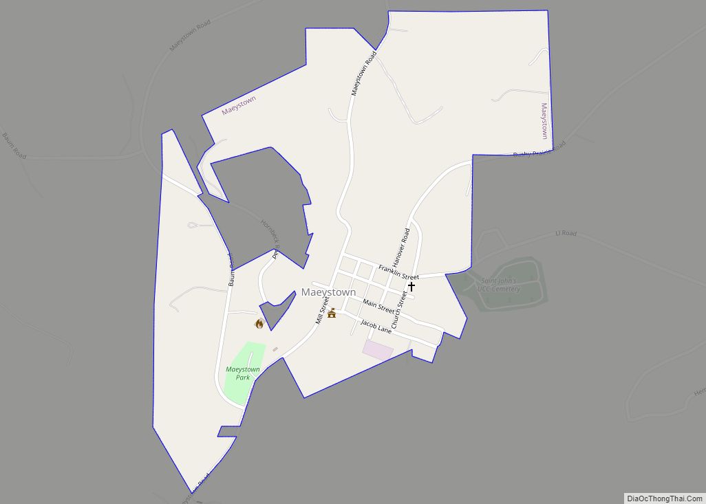
The entire village, save for a small strip of land on the northeast side, is listed on the National Register of Historic Places as the Maeystown Historic District.
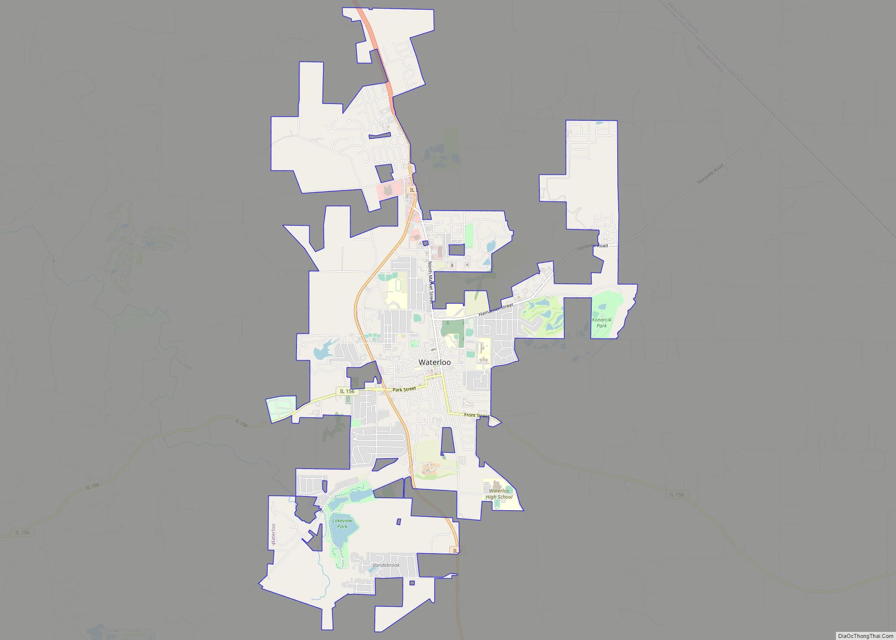
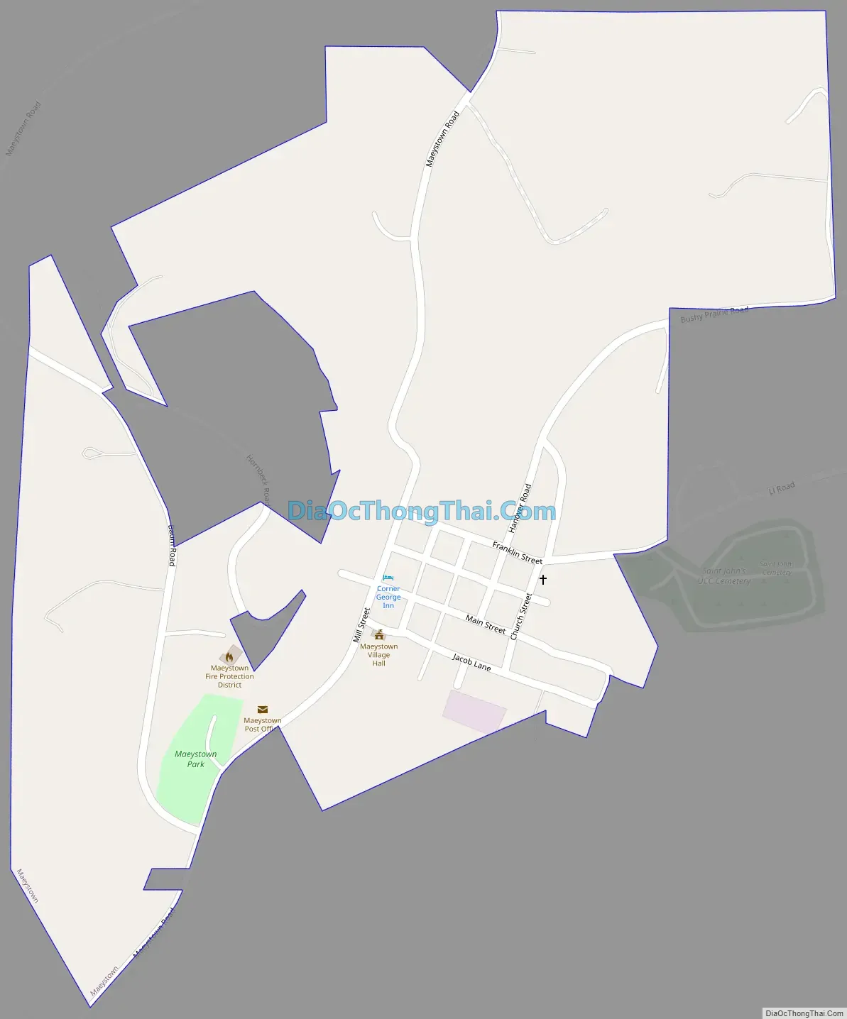
Maeystown Road Map
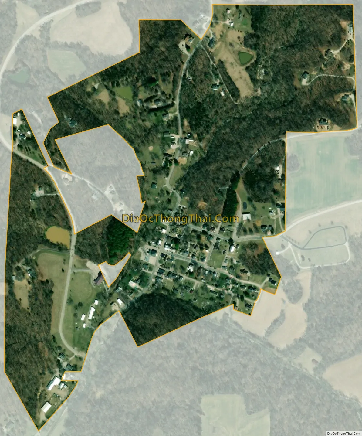
Maeystown city Satellite Map
Geography
Maeystown is located southwest of the center of Monroe County at 38°13′32″N 90°14′1″W / 38.22556°N 90.23361°W / 38.22556; -90.23361 (38.225552, -90.233486). It is 9 miles (14 km) southwest of Waterloo, the county seat. It sits in the valley of Maeystown Creek, which flows into the floodplain of the Mississippi River 2 miles (3 km) to the southwest.
According to the U.S. Census Bureau, the village has a total area of 0.30 square miles (0.78 km), of which 0.002 square miles (0.005 km), or 0.67%, are water.
See also
Map of Illinois State and its subdivision:- Adams
- Alexander
- Bond
- Boone
- Brown
- Bureau
- Calhoun
- Carroll
- Cass
- Champaign
- Christian
- Clark
- Clay
- Clinton
- Coles
- Cook
- Crawford
- Cumberland
- De Kalb
- De Witt
- Douglas
- Dupage
- Edgar
- Edwards
- Effingham
- Fayette
- Ford
- Franklin
- Fulton
- Gallatin
- Greene
- Grundy
- Hamilton
- Hancock
- Hardin
- Henderson
- Henry
- Iroquois
- Jackson
- Jasper
- Jefferson
- Jersey
- Jo Daviess
- Johnson
- Kane
- Kankakee
- Kendall
- Knox
- La Salle
- Lake
- Lake Michigan
- Lawrence
- Lee
- Livingston
- Logan
- Macon
- Macoupin
- Madison
- Marion
- Marshall
- Mason
- Massac
- McDonough
- McHenry
- McLean
- Menard
- Mercer
- Monroe
- Montgomery
- Morgan
- Moultrie
- Ogle
- Peoria
- Perry
- Piatt
- Pike
- Pope
- Pulaski
- Putnam
- Randolph
- Richland
- Rock Island
- Saint Clair
- Saline
- Sangamon
- Schuyler
- Scott
- Shelby
- Stark
- Stephenson
- Tazewell
- Union
- Vermilion
- Wabash
- Warren
- Washington
- Wayne
- White
- Whiteside
- Will
- Williamson
- Winnebago
- Woodford
- Alabama
- Alaska
- Arizona
- Arkansas
- California
- Colorado
- Connecticut
- Delaware
- District of Columbia
- Florida
- Georgia
- Hawaii
- Idaho
- Illinois
- Indiana
- Iowa
- Kansas
- Kentucky
- Louisiana
- Maine
- Maryland
- Massachusetts
- Michigan
- Minnesota
- Mississippi
- Missouri
- Montana
- Nebraska
- Nevada
- New Hampshire
- New Jersey
- New Mexico
- New York
- North Carolina
- North Dakota
- Ohio
- Oklahoma
- Oregon
- Pennsylvania
- Rhode Island
- South Carolina
- South Dakota
- Tennessee
- Texas
- Utah
- Vermont
- Virginia
- Washington
- West Virginia
- Wisconsin
- Wyoming