Makanda is a village in Jackson County, Illinois, United States. As of the 2020 United States Census, the population was 547, down from 561 in 2010. In the early 20th Century it used the slogan “Star of Egypt.”
Makanda is part of the Carbondale, IL Micropolitan Statistical Area.
| Name: | Makanda village |
|---|---|
| LSAD Code: | 47 |
| LSAD Description: | village (suffix) |
| State: | Illinois |
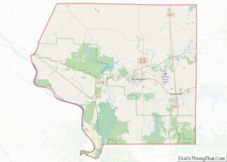
| County: | Jackson County |
| Elevation: | 676 ft (206 m) |
| Total Area: | 5.33 sq mi (13.81 km²) |
| Land Area: | 5.28 sq mi (13.68 km²) |
| Water Area: | 0.05 sq mi (0.13 km²) |
| Total Population: | 547 |
| Population Density: | 103.58/sq mi (39.99/km²) |
| Area code: | 618 |
| FIPS code: | 1746214 |
| GNISfeature ID: | 2399228 |
| Website: | villageofmakanda.com |
Online Interactive Map
Click on ![]() to view map in "full screen" mode.
to view map in "full screen" mode.
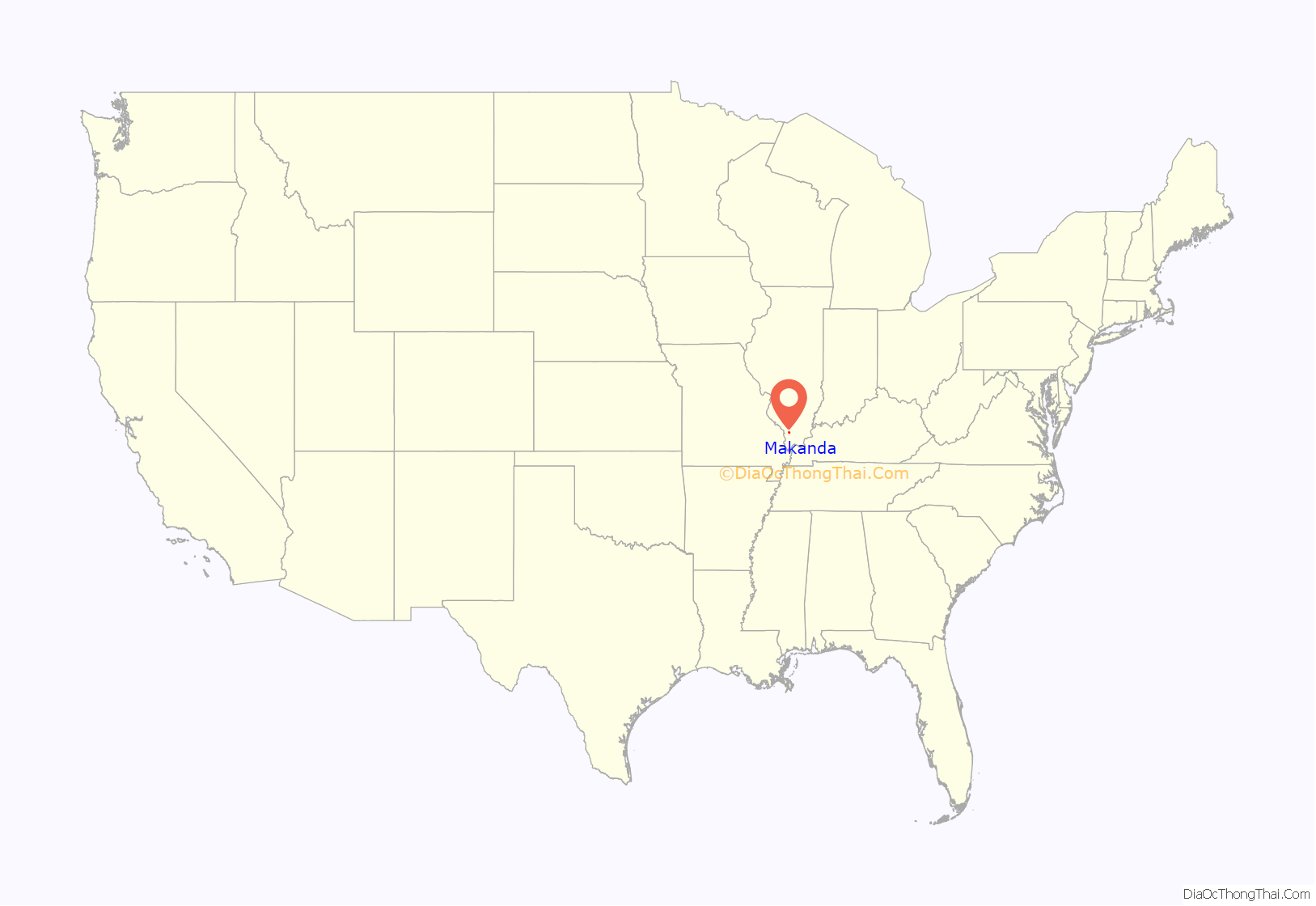
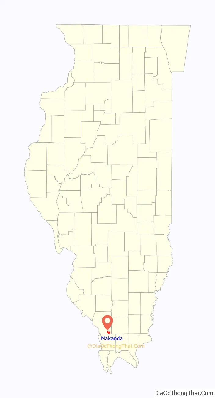
Makanda location map. Where is Makanda village?
History
The village was named after Makanda, a local Native American chieftain.
After Lincoln’s inauguration, Theodore and Al Thompson flew the Union flag from a tree atop a hill between Makanda and Cobden in defiance of the Knights of the Golden Circle, a secessionist group that operated throughout the Midwest.
In 2019, citizens of Makanda rallied against the Illinois Central Railroad Company after an announcement of a tower set to be built in the downtown area and a registered flood plain.
After former U.S. Senator Paul Simon died in 2003, Makanda added a “bow tie” to the smiley face water tower to honor Simon.
Makanda Road Map
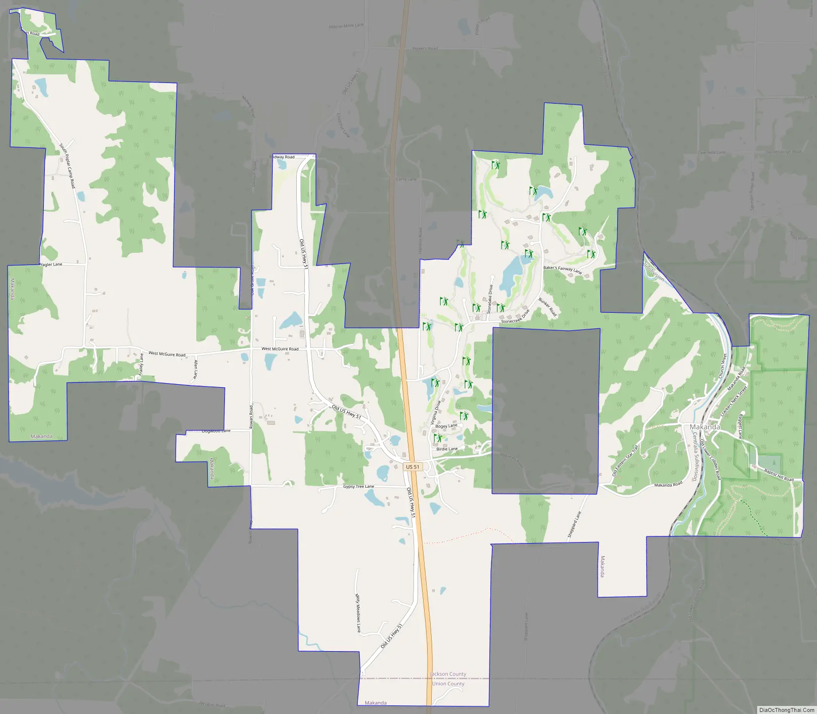
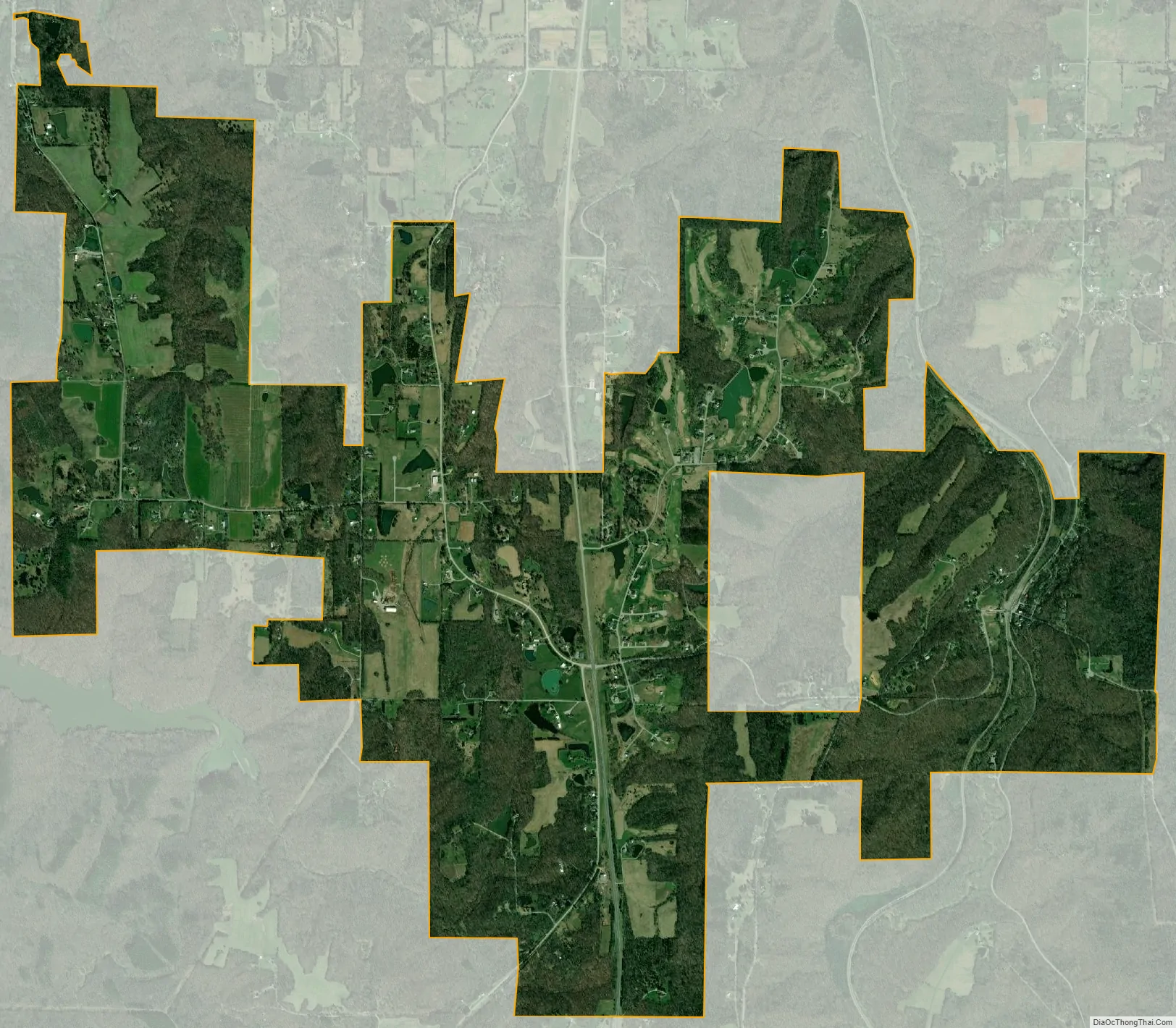
Makanda city Satellite Map
Geography
Makanda is located at 37°37′5″N 89°13′46″W / 37.61806°N 89.22944°W / 37.61806; -89.22944 (37.618190, -89.229545).
According to the 2010 census, Makanda has a total area of 5.341 square miles (13.83 km), of which 5.29 square miles (13.70 km) (or 99.05%) is land and 0.051 square miles (0.13 km) (or 0.95%) is water.
See also
Map of Illinois State and its subdivision:- Adams
- Alexander
- Bond
- Boone
- Brown
- Bureau
- Calhoun
- Carroll
- Cass
- Champaign
- Christian
- Clark
- Clay
- Clinton
- Coles
- Cook
- Crawford
- Cumberland
- De Kalb
- De Witt
- Douglas
- Dupage
- Edgar
- Edwards
- Effingham
- Fayette
- Ford
- Franklin
- Fulton
- Gallatin
- Greene
- Grundy
- Hamilton
- Hancock
- Hardin
- Henderson
- Henry
- Iroquois
- Jackson
- Jasper
- Jefferson
- Jersey
- Jo Daviess
- Johnson
- Kane
- Kankakee
- Kendall
- Knox
- La Salle
- Lake
- Lake Michigan
- Lawrence
- Lee
- Livingston
- Logan
- Macon
- Macoupin
- Madison
- Marion
- Marshall
- Mason
- Massac
- McDonough
- McHenry
- McLean
- Menard
- Mercer
- Monroe
- Montgomery
- Morgan
- Moultrie
- Ogle
- Peoria
- Perry
- Piatt
- Pike
- Pope
- Pulaski
- Putnam
- Randolph
- Richland
- Rock Island
- Saint Clair
- Saline
- Sangamon
- Schuyler
- Scott
- Shelby
- Stark
- Stephenson
- Tazewell
- Union
- Vermilion
- Wabash
- Warren
- Washington
- Wayne
- White
- Whiteside
- Will
- Williamson
- Winnebago
- Woodford
- Alabama
- Alaska
- Arizona
- Arkansas
- California
- Colorado
- Connecticut
- Delaware
- District of Columbia
- Florida
- Georgia
- Hawaii
- Idaho
- Illinois
- Indiana
- Iowa
- Kansas
- Kentucky
- Louisiana
- Maine
- Maryland
- Massachusetts
- Michigan
- Minnesota
- Mississippi
- Missouri
- Montana
- Nebraska
- Nevada
- New Hampshire
- New Jersey
- New Mexico
- New York
- North Carolina
- North Dakota
- Ohio
- Oklahoma
- Oregon
- Pennsylvania
- Rhode Island
- South Carolina
- South Dakota
- Tennessee
- Texas
- Utah
- Vermont
- Virginia
- Washington
- West Virginia
- Wisconsin
- Wyoming