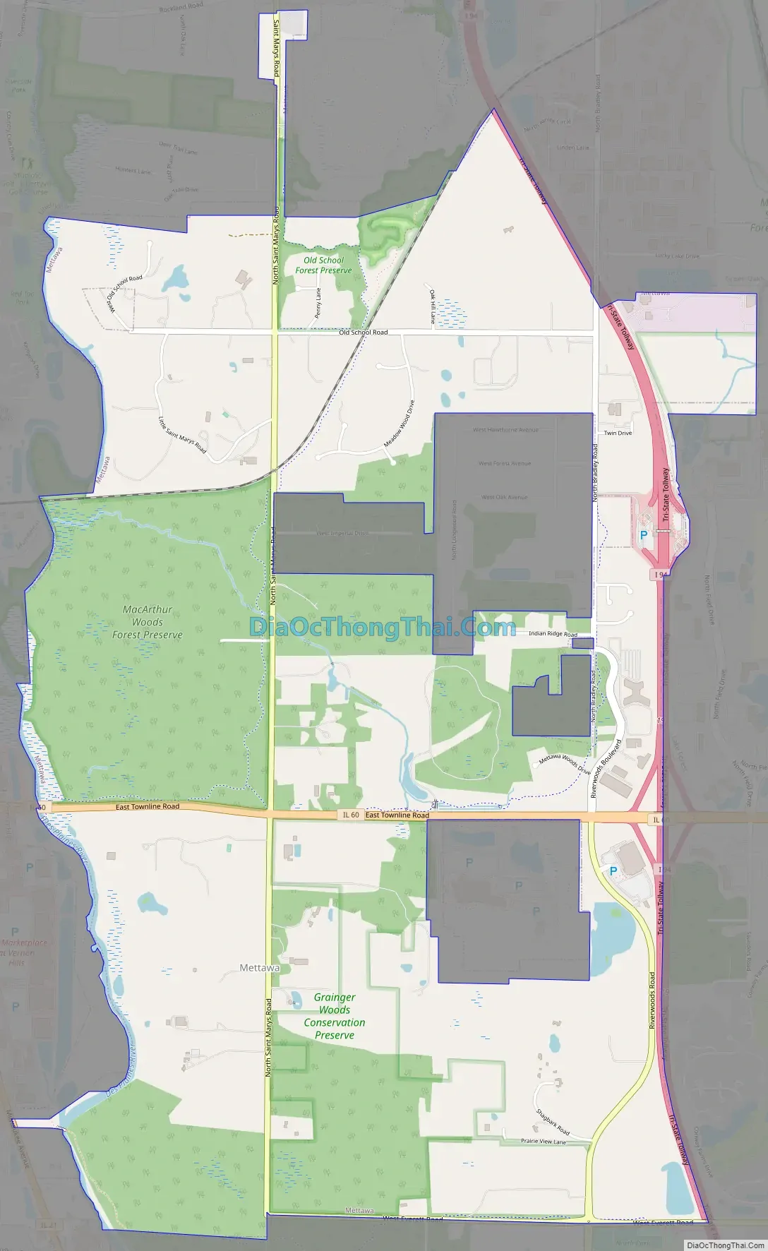
Mettawa is a village in Lake County, Illinois, United States. Per the 2020 census, the population was 533. The village maintains trails for pedestrian, bicycle and equestrian usage. Five forest preserves of the Lake County Forest Preserve District are located within village boundaries.
| Name: | Mettawa village |
|---|---|
| LSAD Code: | 47 |
| LSAD Description: | village (suffix) |
| State: | Illinois |
| County: | Lake County |
| Total Area: | 5.53 sq mi (14.32 km²) |
| Land Area: | 5.45 sq mi (14.12 km²) |
| Water Area: | 0.08 sq mi (0.20 km²) |
| Total Population: | 533 |
| Population Density: | 97.78/sq mi (37.76/km²) |
| Area code: | 847 |
| FIPS code: | 1748671 |
| Website: | www.mettawa.org |
Online Interactive Map
Click on ![]() to view map in "full screen" mode.
to view map in "full screen" mode.
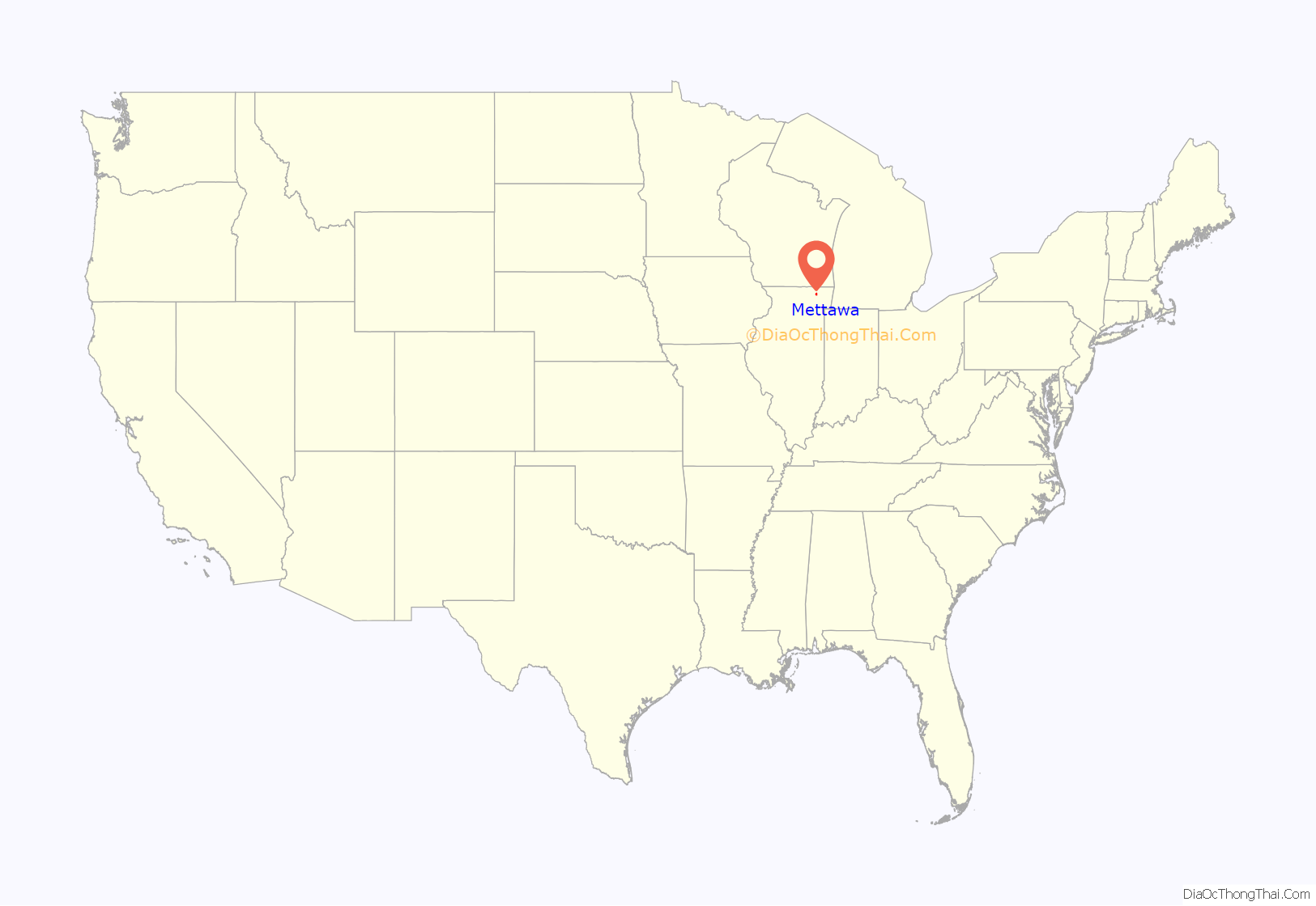
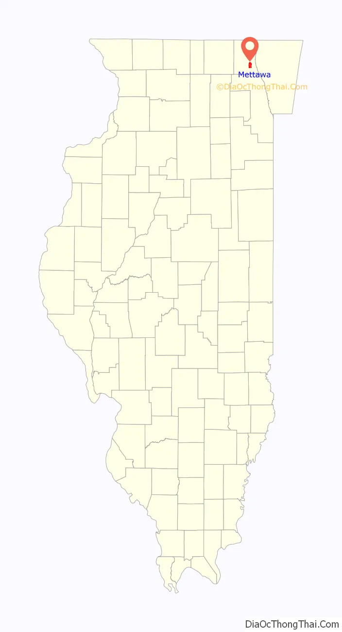
Mettawa location map. Where is Mettawa village?
History
The name of the town derived from Potawatomi chief Mettaywah, who lived in the area before signing the 1833 Treaty of Chicago and being displaced to Kansas. The traveler Colbee reported visiting the chief’s village near the Des Plaines River and eating pork, cakes fried in pork fat, and a corn and bean dish. Many Potawatomi returned to Illinois annually until the end of the nineteenth century to visit their burial grounds.
Mettawa was founded by area residents in 1960 who worked together with a common goal of protecting their rural area from encroaching commercial development. Mettawa’s first mayor was James Getz; subsequent mayors included Edward FitzSimons, Julius Abler, Barry McLean and Jess Ray. The current treasurer is Amy Weiland. Famous residents and property owners within the area now known as Mettawa have included two-time presidential nominee Adlai E. Stevenson, city planner Edward H. Bennett, and more recently, news anchor and rancher Bill Kurtis and the Chicago Bears’ linebacker Brian Urlacher and running back Matt Forte. Stevenson’s Mettawa estate on the Des Plaines River is a designated Illinois Historic Site and is listed on the National Register of Historic Places.
Mettawa Road Map
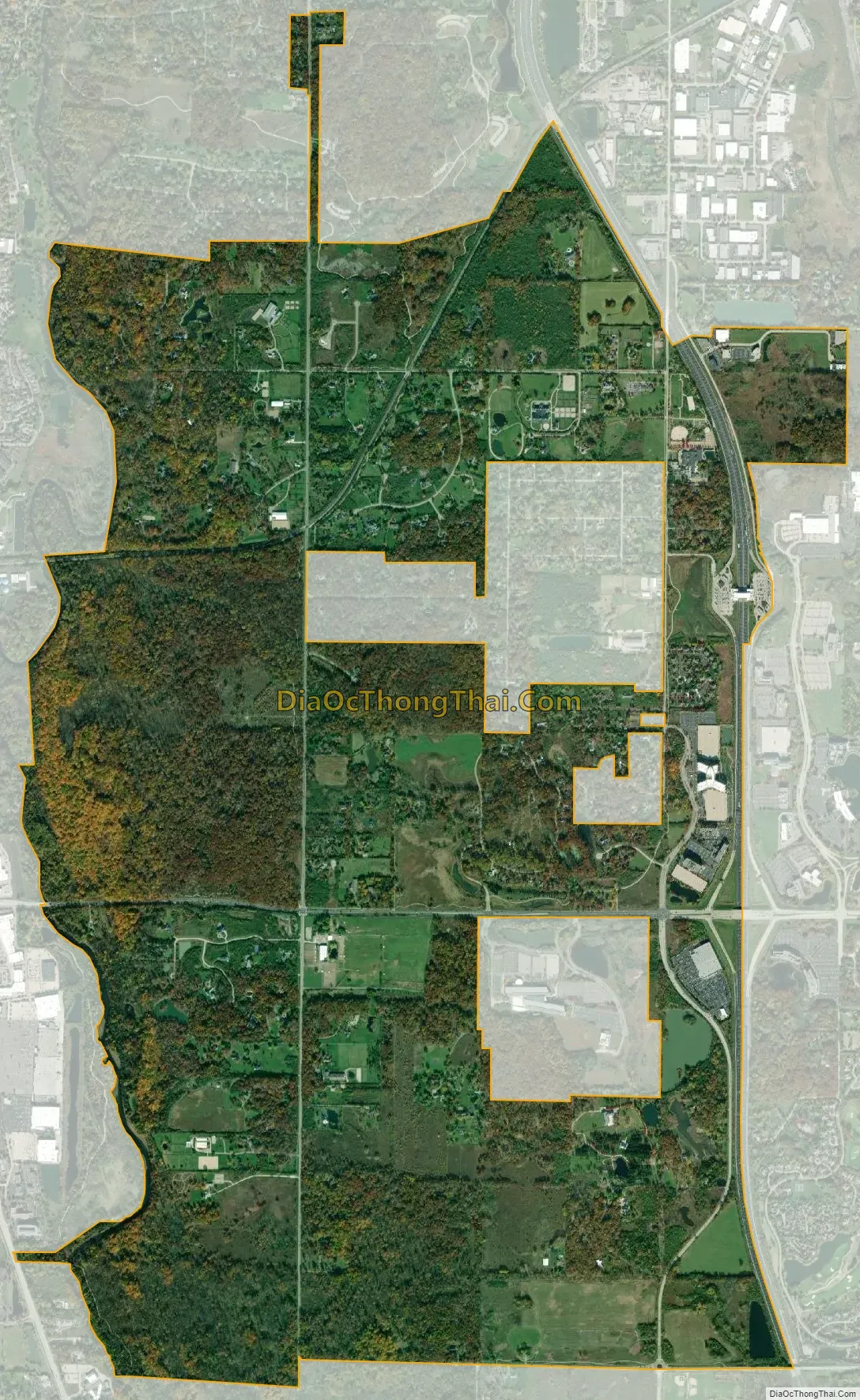
Mettawa city Satellite Map
Geography
Mettawa is located at 42°14′38″N 87°55′4″W / 42.24389°N 87.91778°W / 42.24389; -87.91778 (42.243972, -87.917909).
According to the 2010 census, Mettawa has a total area of 5.39 square miles (13.96 km), of which 5.31 square miles (13.75 km) (or 98.52%) is land and 0.08 square miles (0.21 km) (or 1.48%) is water.
See also
Map of Illinois State and its subdivision:- Adams
- Alexander
- Bond
- Boone
- Brown
- Bureau
- Calhoun
- Carroll
- Cass
- Champaign
- Christian
- Clark
- Clay
- Clinton
- Coles
- Cook
- Crawford
- Cumberland
- De Kalb
- De Witt
- Douglas
- Dupage
- Edgar
- Edwards
- Effingham
- Fayette
- Ford
- Franklin
- Fulton
- Gallatin
- Greene
- Grundy
- Hamilton
- Hancock
- Hardin
- Henderson
- Henry
- Iroquois
- Jackson
- Jasper
- Jefferson
- Jersey
- Jo Daviess
- Johnson
- Kane
- Kankakee
- Kendall
- Knox
- La Salle
- Lake
- Lake Michigan
- Lawrence
- Lee
- Livingston
- Logan
- Macon
- Macoupin
- Madison
- Marion
- Marshall
- Mason
- Massac
- McDonough
- McHenry
- McLean
- Menard
- Mercer
- Monroe
- Montgomery
- Morgan
- Moultrie
- Ogle
- Peoria
- Perry
- Piatt
- Pike
- Pope
- Pulaski
- Putnam
- Randolph
- Richland
- Rock Island
- Saint Clair
- Saline
- Sangamon
- Schuyler
- Scott
- Shelby
- Stark
- Stephenson
- Tazewell
- Union
- Vermilion
- Wabash
- Warren
- Washington
- Wayne
- White
- Whiteside
- Will
- Williamson
- Winnebago
- Woodford
- Alabama
- Alaska
- Arizona
- Arkansas
- California
- Colorado
- Connecticut
- Delaware
- District of Columbia
- Florida
- Georgia
- Hawaii
- Idaho
- Illinois
- Indiana
- Iowa
- Kansas
- Kentucky
- Louisiana
- Maine
- Maryland
- Massachusetts
- Michigan
- Minnesota
- Mississippi
- Missouri
- Montana
- Nebraska
- Nevada
- New Hampshire
- New Jersey
- New Mexico
- New York
- North Carolina
- North Dakota
- Ohio
- Oklahoma
- Oregon
- Pennsylvania
- Rhode Island
- South Carolina
- South Dakota
- Tennessee
- Texas
- Utah
- Vermont
- Virginia
- Washington
- West Virginia
- Wisconsin
- Wyoming


