Momence is a city and capital of Momence Township, Kankakee County, Illinois, United States. The population was 3,171 at the 2000 census, and 3,310 in 2010. It is part of the Kankakee–Bradley Metropolitan Statistical Area.
| Name: | Momence city |
|---|---|
| LSAD Code: | 25 |
| LSAD Description: | city (suffix) |
| State: | Illinois |
| County: | Kankakee County |
| Elevation: | 620 ft (190 m) |
| Total Area: | 1.67 sq mi (4.32 km²) |
| Land Area: | 1.57 sq mi (4.06 km²) |
| Water Area: | 0.10 sq mi (0.25 km²) |
| Total Population: | 3,117 |
| Population Density: | 1,986.62/sq mi (767.07/km²) |
| Area code: | 815 |
| FIPS code: | 1749893 |
| Website: | http://cityofmomence.com |
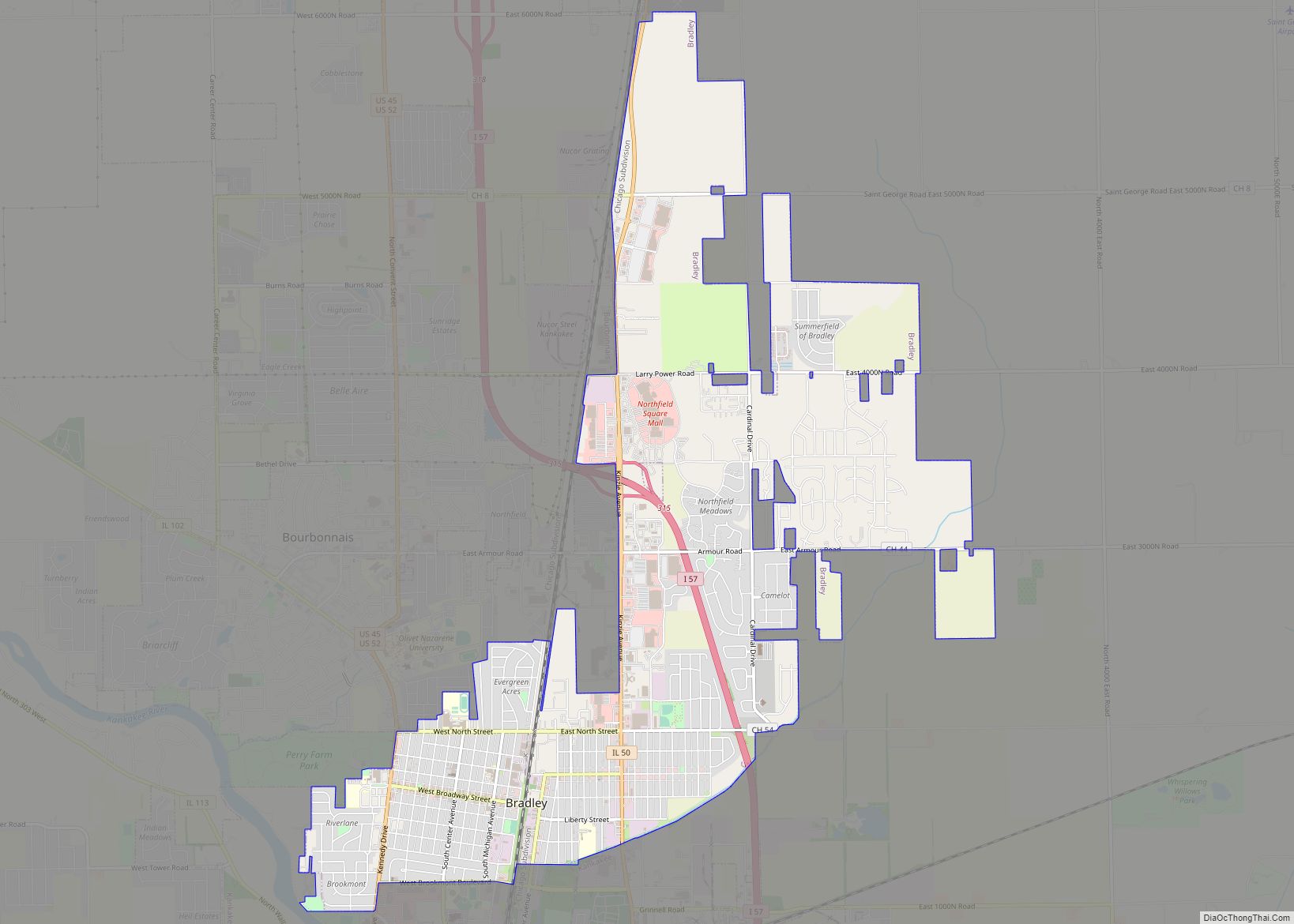
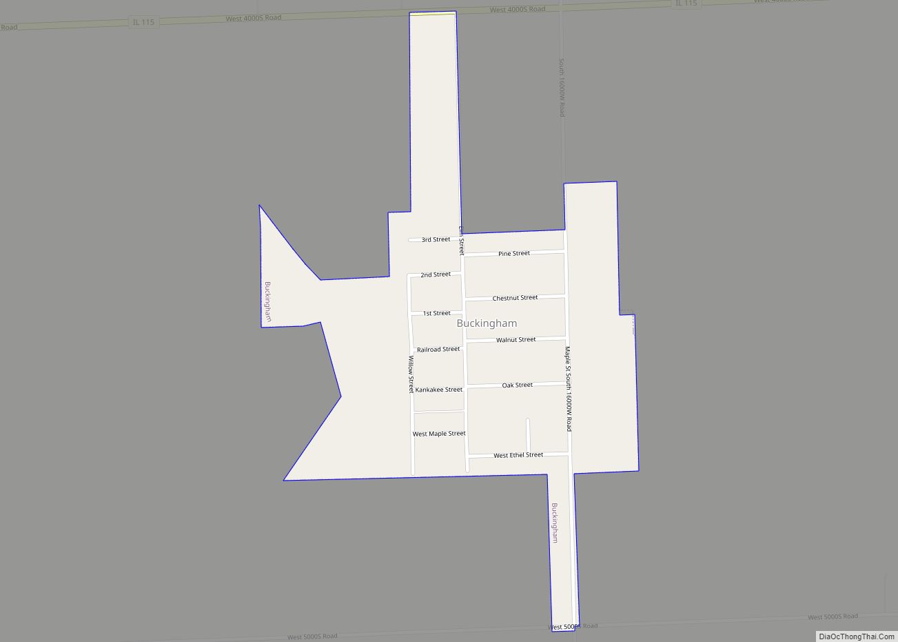
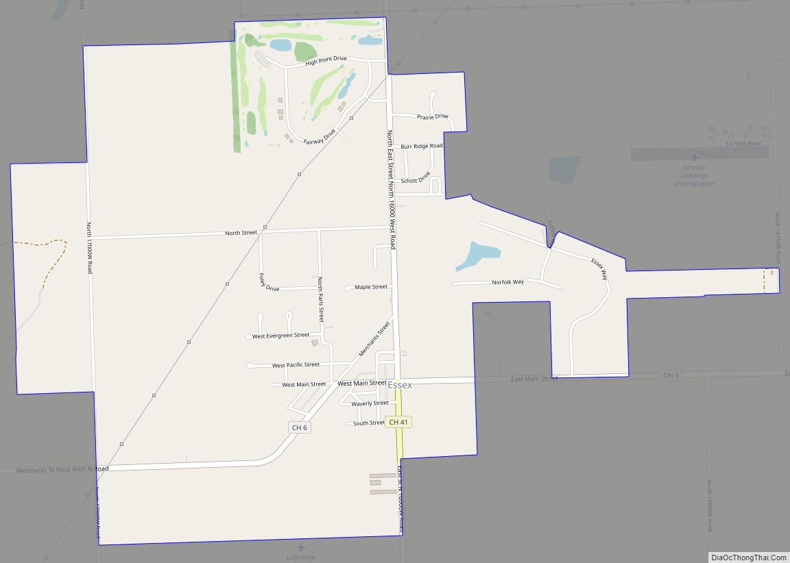
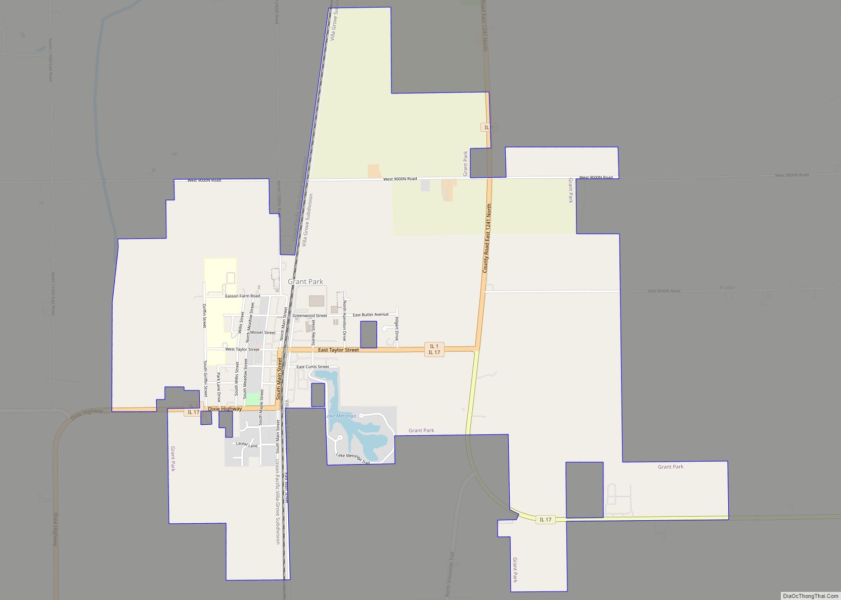
Online Interactive Map
Click on ![]() to view map in "full screen" mode.
to view map in "full screen" mode.
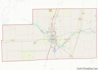
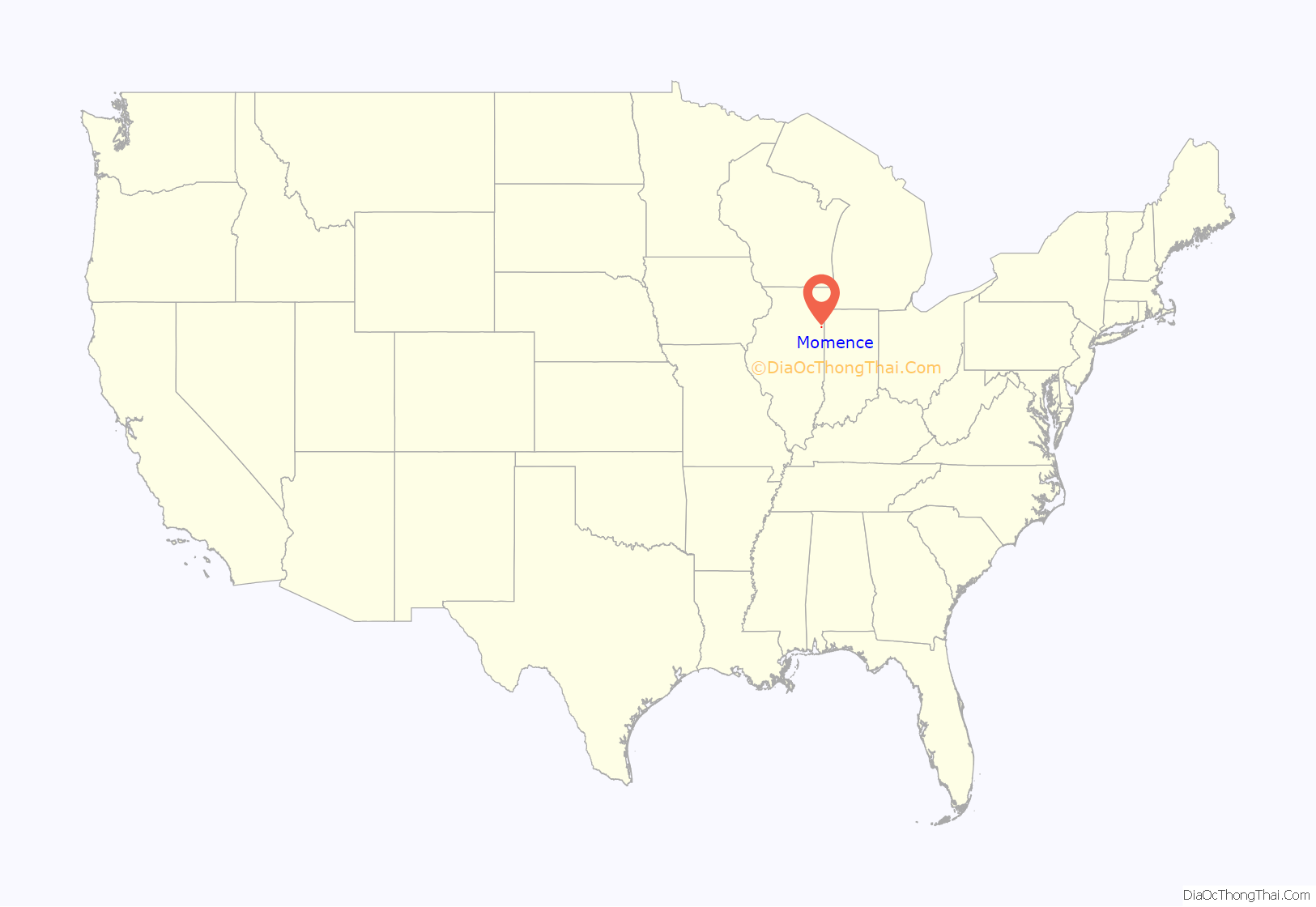
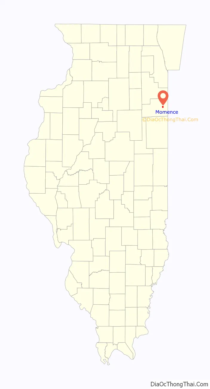
Momence location map. Where is Momence city?
History
First known as “Lower Crossing”, Momence was named after a local Potawatomi, Isadore Moness. Momence was first platted by Dr. Hiram Todd in 1846. It is located on the Kankakee River. In July, 1893, a crew paid for by an appropriation from the neighboring State of Indiana cut a shallow channel not quite a meter deep through a limestone ledge running just east of Momence, which had for millennia partially blocked and restricted the flow of the Kankakee River, making up to that point the Grand Kankakee Marsh, then the nation’s largest inland wetland, possible. The increased river flow, while doing little for the citizens of Illinois, drained thousands of acres of Indiana wetlands, permitting them to be profitably farmed, while destroying most of the Marsh.
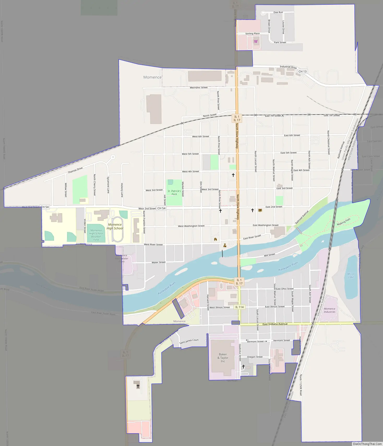
Momence Road Map
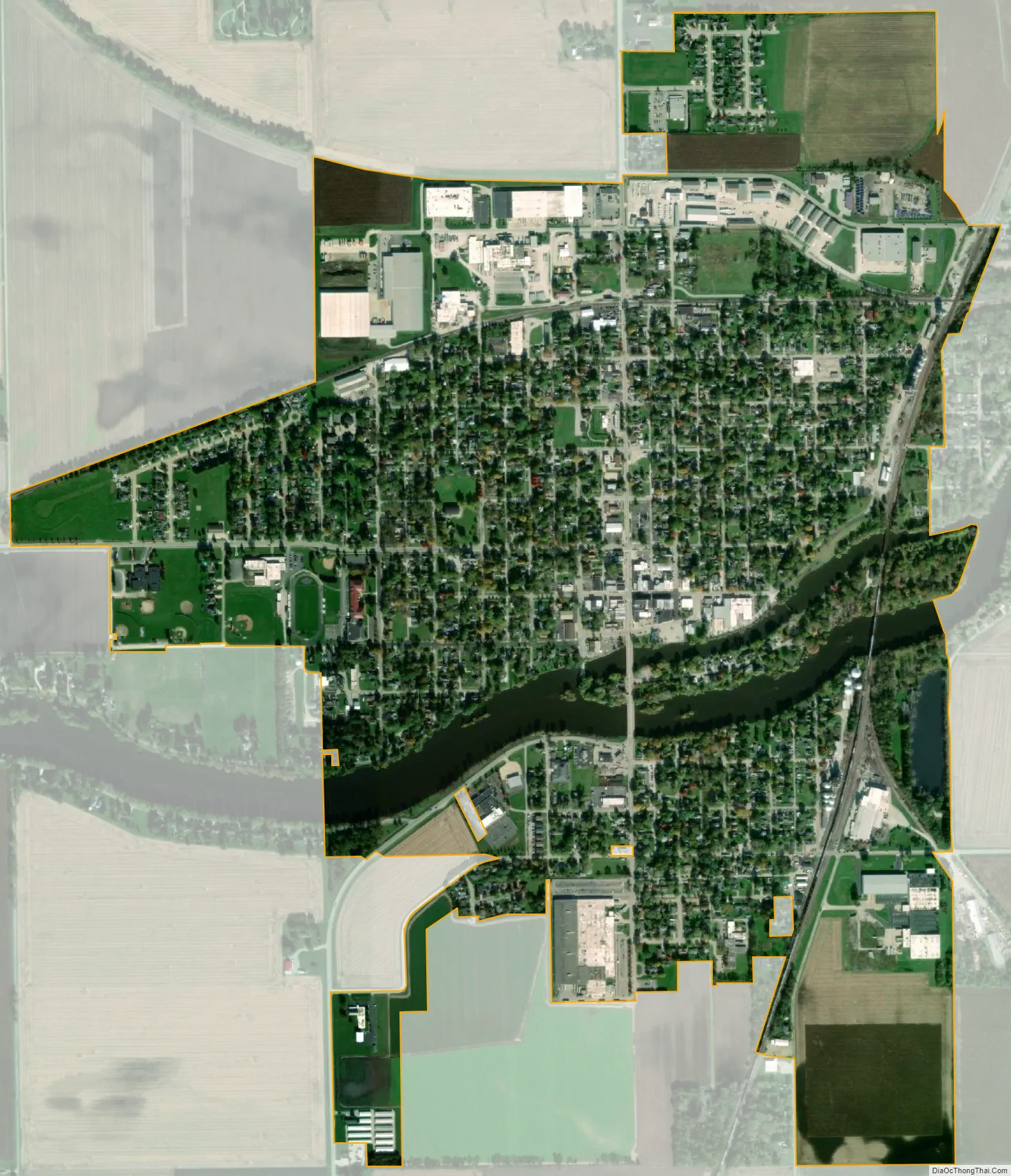
Momence city Satellite Map
Geography
According to the 2010 census, Momence has a total area of 1.627 square miles (4.21 km), of which 1.53 square miles (3.96 km) (or 94.04%) is land and 0.097 square miles (0.25 km) (or 5.96%) is water.
See also
Map of Illinois State and its subdivision:- Adams
- Alexander
- Bond
- Boone
- Brown
- Bureau
- Calhoun
- Carroll
- Cass
- Champaign
- Christian
- Clark
- Clay
- Clinton
- Coles
- Cook
- Crawford
- Cumberland
- De Kalb
- De Witt
- Douglas
- Dupage
- Edgar
- Edwards
- Effingham
- Fayette
- Ford
- Franklin
- Fulton
- Gallatin
- Greene
- Grundy
- Hamilton
- Hancock
- Hardin
- Henderson
- Henry
- Iroquois
- Jackson
- Jasper
- Jefferson
- Jersey
- Jo Daviess
- Johnson
- Kane
- Kankakee
- Kendall
- Knox
- La Salle
- Lake
- Lake Michigan
- Lawrence
- Lee
- Livingston
- Logan
- Macon
- Macoupin
- Madison
- Marion
- Marshall
- Mason
- Massac
- McDonough
- McHenry
- McLean
- Menard
- Mercer
- Monroe
- Montgomery
- Morgan
- Moultrie
- Ogle
- Peoria
- Perry
- Piatt
- Pike
- Pope
- Pulaski
- Putnam
- Randolph
- Richland
- Rock Island
- Saint Clair
- Saline
- Sangamon
- Schuyler
- Scott
- Shelby
- Stark
- Stephenson
- Tazewell
- Union
- Vermilion
- Wabash
- Warren
- Washington
- Wayne
- White
- Whiteside
- Will
- Williamson
- Winnebago
- Woodford
- Alabama
- Alaska
- Arizona
- Arkansas
- California
- Colorado
- Connecticut
- Delaware
- District of Columbia
- Florida
- Georgia
- Hawaii
- Idaho
- Illinois
- Indiana
- Iowa
- Kansas
- Kentucky
- Louisiana
- Maine
- Maryland
- Massachusetts
- Michigan
- Minnesota
- Mississippi
- Missouri
- Montana
- Nebraska
- Nevada
- New Hampshire
- New Jersey
- New Mexico
- New York
- North Carolina
- North Dakota
- Ohio
- Oklahoma
- Oregon
- Pennsylvania
- Rhode Island
- South Carolina
- South Dakota
- Tennessee
- Texas
- Utah
- Vermont
- Virginia
- Washington
- West Virginia
- Wisconsin
- Wyoming