Philo is a village about nine miles south of Urbana in Champaign County, Illinois, United States. The population was 1,392 at the 2020 census.
| Name: | Philo village |
|---|---|
| LSAD Code: | 47 |
| LSAD Description: | village (suffix) |
| State: | Illinois |
| County: | Champaign County |
| Elevation: | 733 ft (223 m) |
| Total Area: | 0.83 sq mi (2.15 km²) |
| Land Area: | 0.83 sq mi (2.15 km²) |
| Water Area: | 0.00 sq mi (0.00 km²) |
| Total Population: | 1,392 |
| Population Density: | 1,679.13/sq mi (648.39/km²) |
| Area code: | 217 |
| FIPS code: | 1759533 |
| Website: | http://villageofphilo.com/ |
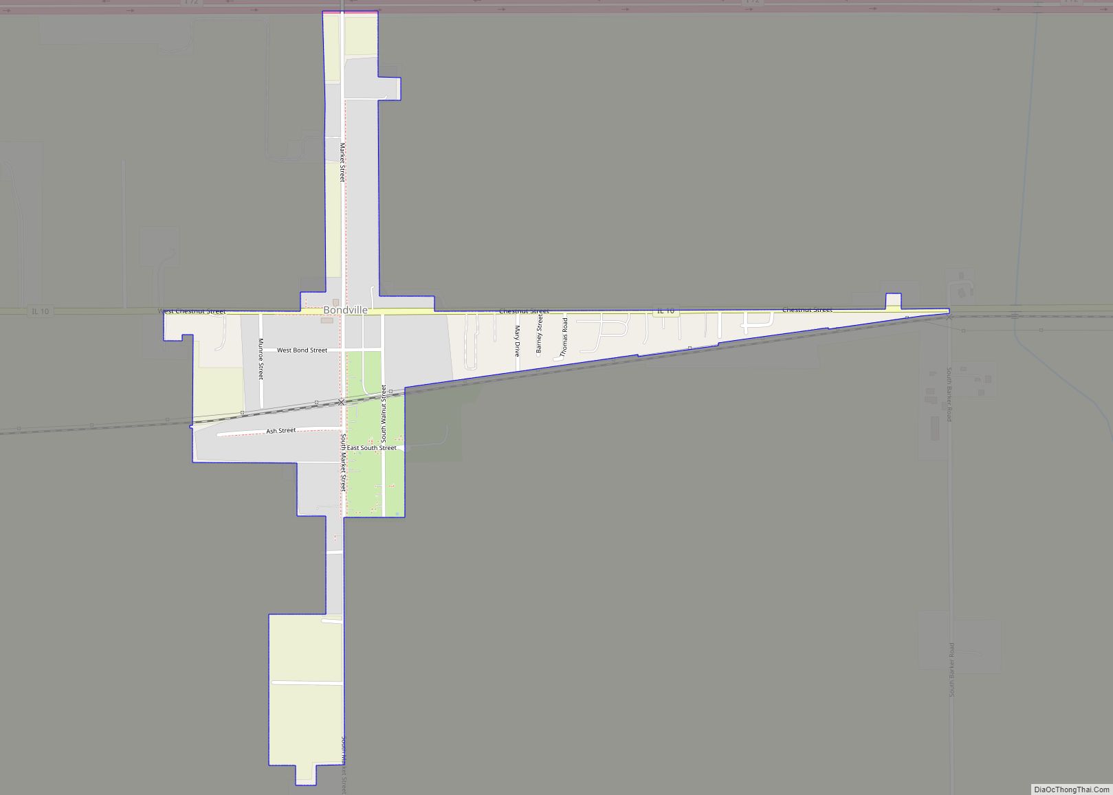
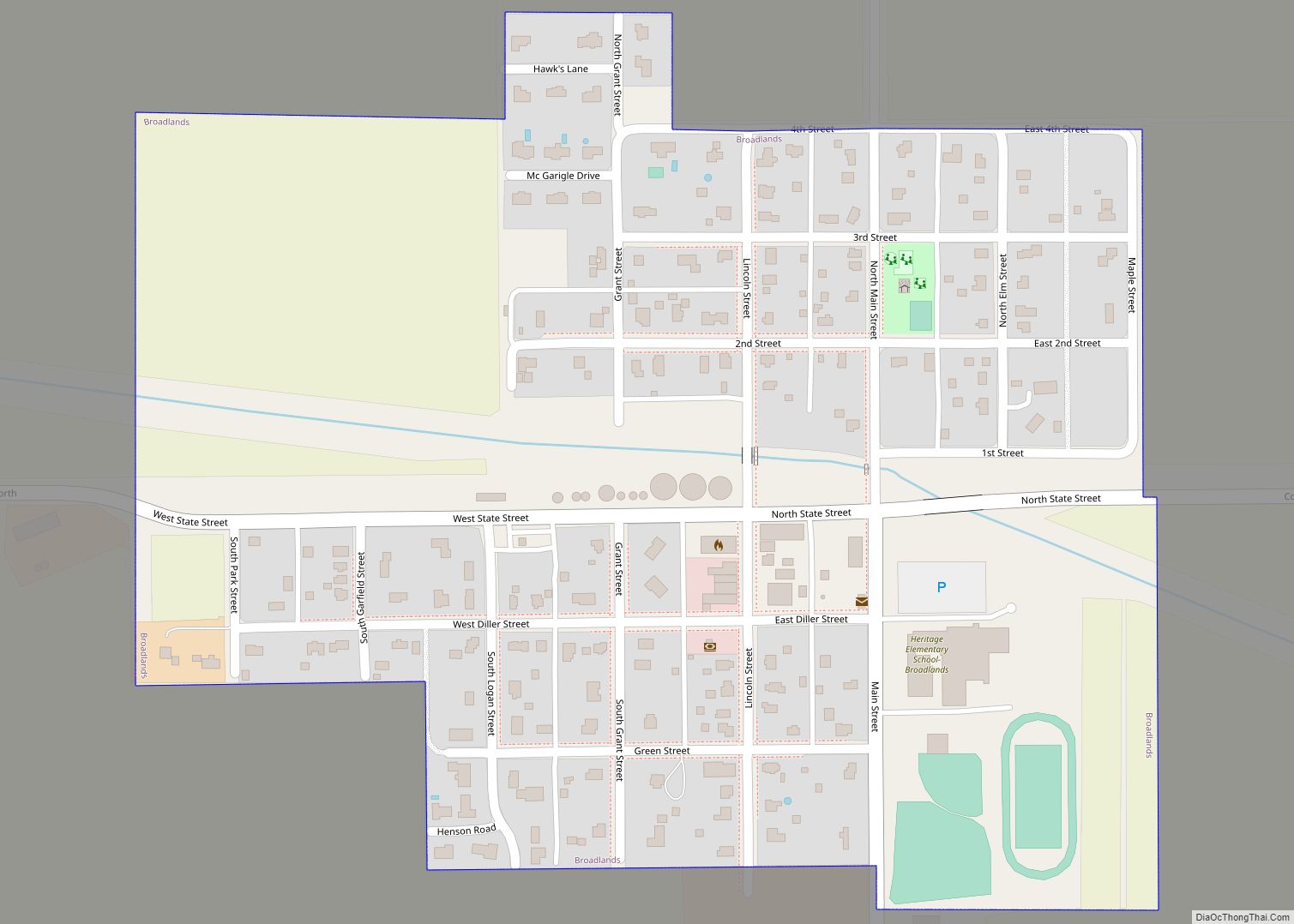
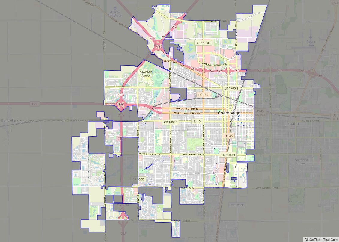
Online Interactive Map
Click on ![]() to view map in "full screen" mode.
to view map in "full screen" mode.
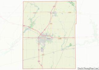
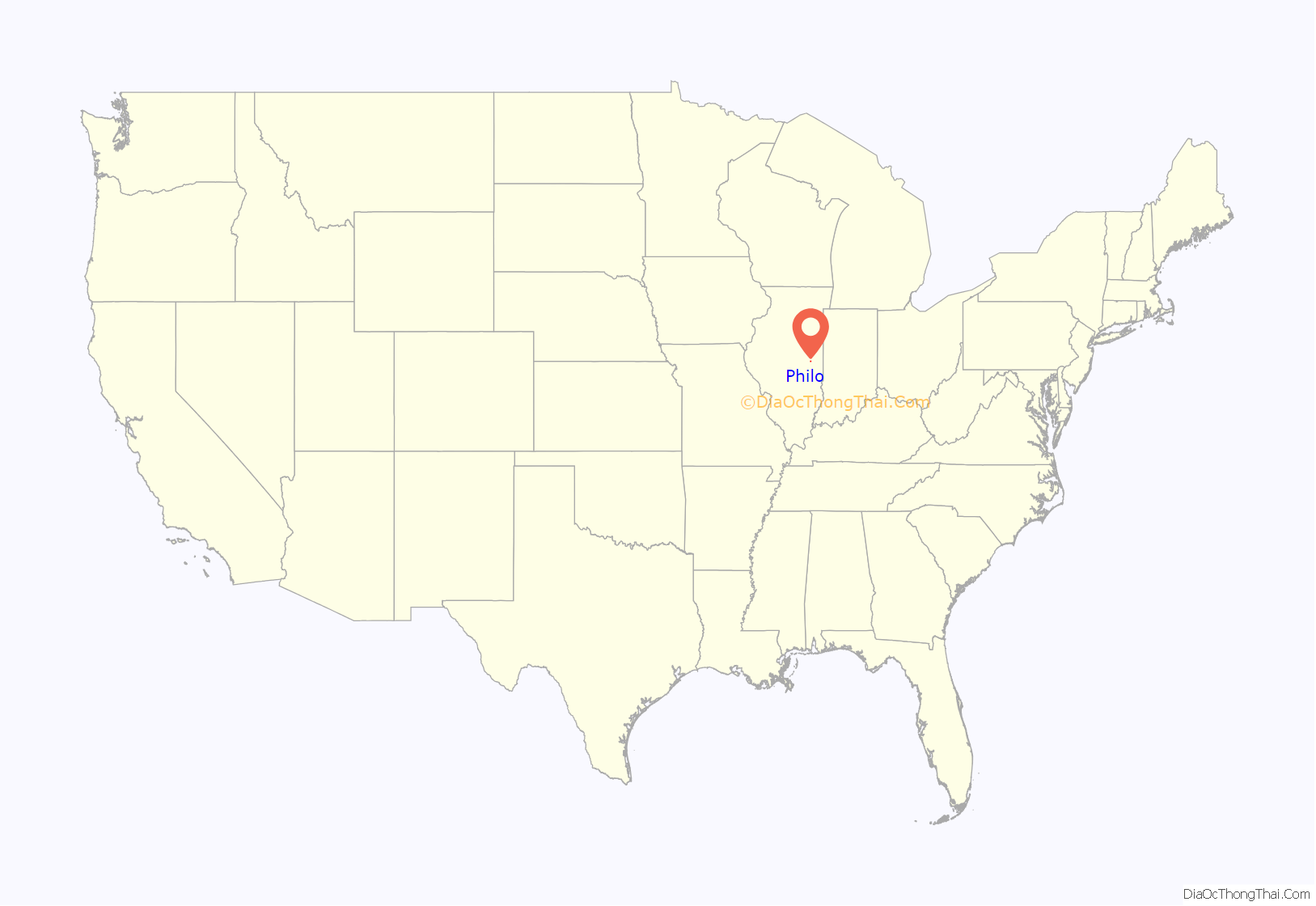
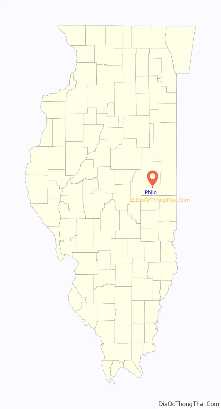
Philo location map. Where is Philo village?
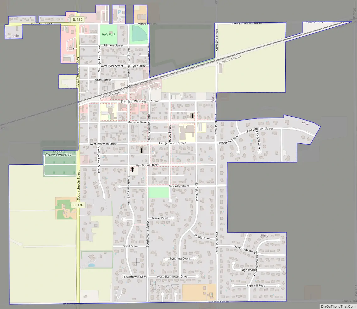
Philo Road Map
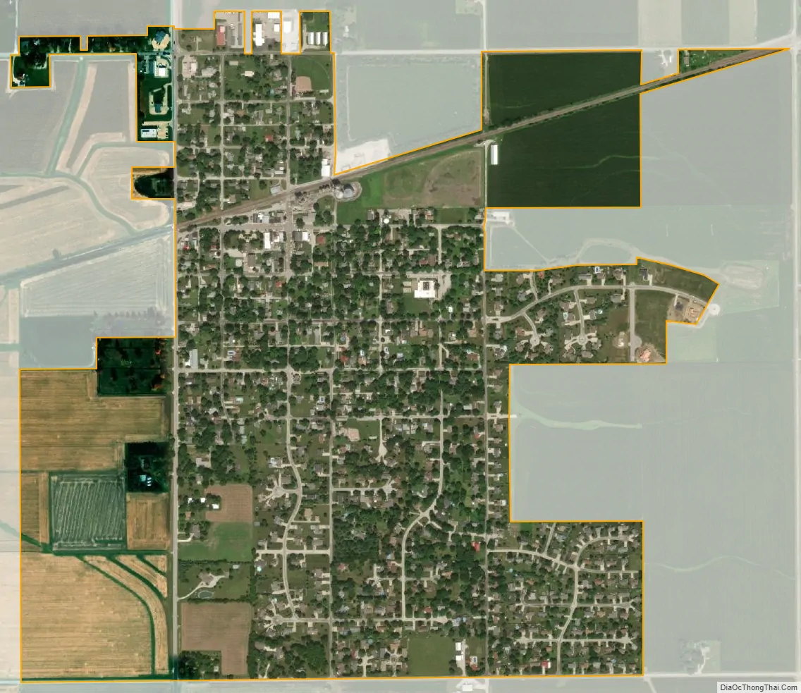
Philo city Satellite Map
Geography
Philo is located three miles south of Urbana township and six miles south of the city of Urbana at 40°0′19″N 88°9′23″W / 40.00528°N 88.15639°W / 40.00528; -88.15639 (40.005359, -88.156483). The legend “Center of the Universe” is painted on the village water tower, along with its zipcode.
According to the 2021 census gazetteer files, Philo has a total area of 0.83 square miles (2.15 km), all alnd.
Philo was named after the founder Philo Hale. The main park, which is used for numerous functions including reserved space for family reunions, located on the north end of the village is named after the founder (Hale Park).
See also
Map of Illinois State and its subdivision:- Adams
- Alexander
- Bond
- Boone
- Brown
- Bureau
- Calhoun
- Carroll
- Cass
- Champaign
- Christian
- Clark
- Clay
- Clinton
- Coles
- Cook
- Crawford
- Cumberland
- De Kalb
- De Witt
- Douglas
- Dupage
- Edgar
- Edwards
- Effingham
- Fayette
- Ford
- Franklin
- Fulton
- Gallatin
- Greene
- Grundy
- Hamilton
- Hancock
- Hardin
- Henderson
- Henry
- Iroquois
- Jackson
- Jasper
- Jefferson
- Jersey
- Jo Daviess
- Johnson
- Kane
- Kankakee
- Kendall
- Knox
- La Salle
- Lake
- Lake Michigan
- Lawrence
- Lee
- Livingston
- Logan
- Macon
- Macoupin
- Madison
- Marion
- Marshall
- Mason
- Massac
- McDonough
- McHenry
- McLean
- Menard
- Mercer
- Monroe
- Montgomery
- Morgan
- Moultrie
- Ogle
- Peoria
- Perry
- Piatt
- Pike
- Pope
- Pulaski
- Putnam
- Randolph
- Richland
- Rock Island
- Saint Clair
- Saline
- Sangamon
- Schuyler
- Scott
- Shelby
- Stark
- Stephenson
- Tazewell
- Union
- Vermilion
- Wabash
- Warren
- Washington
- Wayne
- White
- Whiteside
- Will
- Williamson
- Winnebago
- Woodford
- Alabama
- Alaska
- Arizona
- Arkansas
- California
- Colorado
- Connecticut
- Delaware
- District of Columbia
- Florida
- Georgia
- Hawaii
- Idaho
- Illinois
- Indiana
- Iowa
- Kansas
- Kentucky
- Louisiana
- Maine
- Maryland
- Massachusetts
- Michigan
- Minnesota
- Mississippi
- Missouri
- Montana
- Nebraska
- Nevada
- New Hampshire
- New Jersey
- New Mexico
- New York
- North Carolina
- North Dakota
- Ohio
- Oklahoma
- Oregon
- Pennsylvania
- Rhode Island
- South Carolina
- South Dakota
- Tennessee
- Texas
- Utah
- Vermont
- Virginia
- Washington
- West Virginia
- Wisconsin
- Wyoming