Pittsburg is a village in Williamson County, Illinois. The population was 572 at the 2010 census.
| Name: | Pittsburg village |
|---|---|
| LSAD Code: | 47 |
| LSAD Description: | village (suffix) |
| State: | Illinois |
| County: | Williamson County |
| Elevation: | 463 ft (141 m) |
| Total Area: | 2.09 sq mi (5.42 km²) |
| Land Area: | 2.06 sq mi (5.35 km²) |
| Water Area: | 0.03 sq mi (0.07 km²) |
| Total Population: | 565 |
| Population Density: | 273.61/sq mi (105.64/km²) |
| ZIP code: | 62974 |
| Area code: | 618 |
| FIPS code: | 1760209 |
| GNISfeature ID: | 2399681 |
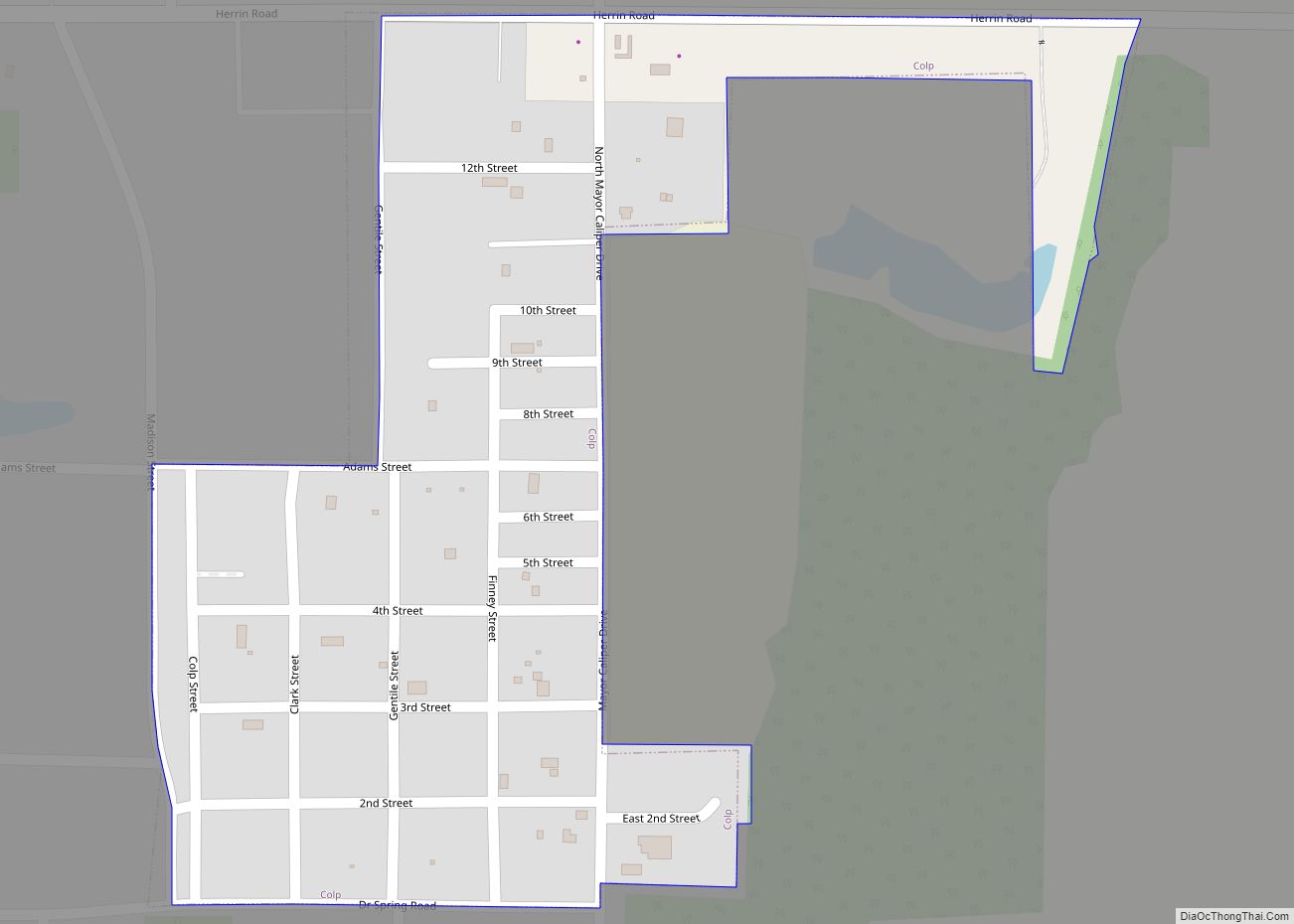
Online Interactive Map
Click on ![]() to view map in "full screen" mode.
to view map in "full screen" mode.
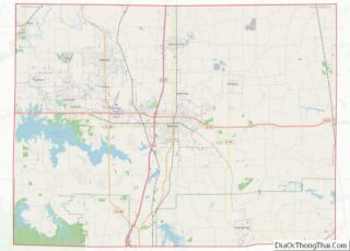
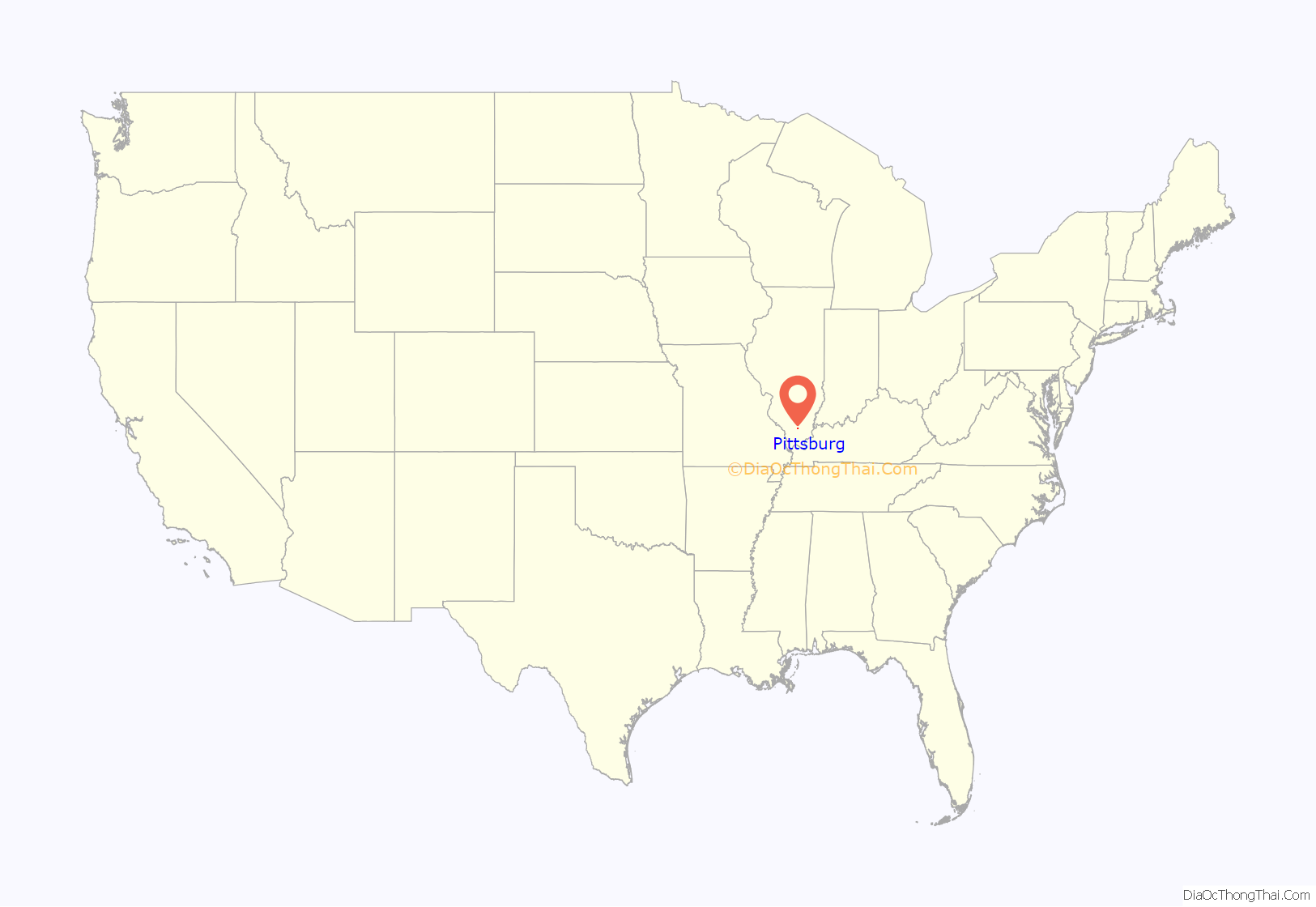
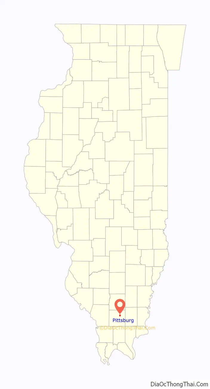
Pittsburg location map. Where is Pittsburg village?
History
Pittsburg was established in 1906 as part of a mining operation developed by coal entrepreneur John Colp (for whom nearby Colp is named). Colp named the village for Pittsburgh, Pennsylvania, as he hoped it would achieve that city’s prosperity. Many of the streets in the village were likewise named for locations in Pennsylvania, including Scranton Avenue, Lehigh Valley Avenue, Hocking Valley Avenue, and Pennsylvania Avenue. A post office opened in 1907.
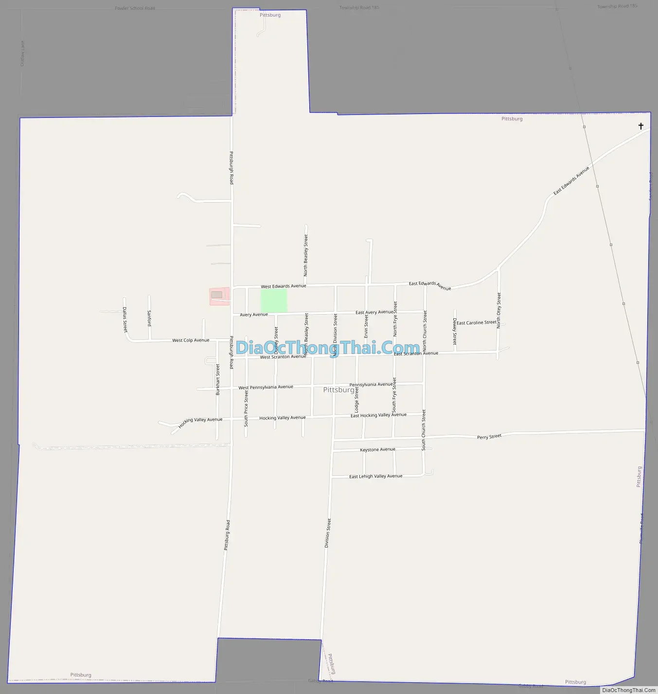
Pittsburg Road Map
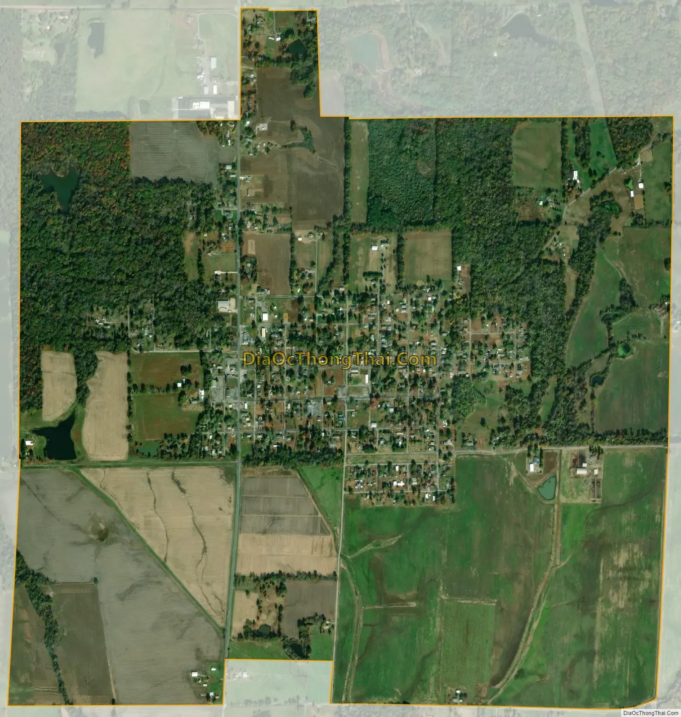
Pittsburg city Satellite Map
Geography
Pittsburg is located at 37°46′40″N 88°51′1″W / 37.77778°N 88.85028°W / 37.77778; -88.85028 (37.777805, -88.850327).
According to the 2010 census, Pittsburg has a total area of 2.1 square miles (5.44 km), of which 2.07 square miles (5.36 km) (or 98.57%) is land and 0.03 square miles (0.08 km) (or 1.43%) is water.
See also
Map of Illinois State and its subdivision:- Adams
- Alexander
- Bond
- Boone
- Brown
- Bureau
- Calhoun
- Carroll
- Cass
- Champaign
- Christian
- Clark
- Clay
- Clinton
- Coles
- Cook
- Crawford
- Cumberland
- De Kalb
- De Witt
- Douglas
- Dupage
- Edgar
- Edwards
- Effingham
- Fayette
- Ford
- Franklin
- Fulton
- Gallatin
- Greene
- Grundy
- Hamilton
- Hancock
- Hardin
- Henderson
- Henry
- Iroquois
- Jackson
- Jasper
- Jefferson
- Jersey
- Jo Daviess
- Johnson
- Kane
- Kankakee
- Kendall
- Knox
- La Salle
- Lake
- Lake Michigan
- Lawrence
- Lee
- Livingston
- Logan
- Macon
- Macoupin
- Madison
- Marion
- Marshall
- Mason
- Massac
- McDonough
- McHenry
- McLean
- Menard
- Mercer
- Monroe
- Montgomery
- Morgan
- Moultrie
- Ogle
- Peoria
- Perry
- Piatt
- Pike
- Pope
- Pulaski
- Putnam
- Randolph
- Richland
- Rock Island
- Saint Clair
- Saline
- Sangamon
- Schuyler
- Scott
- Shelby
- Stark
- Stephenson
- Tazewell
- Union
- Vermilion
- Wabash
- Warren
- Washington
- Wayne
- White
- Whiteside
- Will
- Williamson
- Winnebago
- Woodford
- Alabama
- Alaska
- Arizona
- Arkansas
- California
- Colorado
- Connecticut
- Delaware
- District of Columbia
- Florida
- Georgia
- Hawaii
- Idaho
- Illinois
- Indiana
- Iowa
- Kansas
- Kentucky
- Louisiana
- Maine
- Maryland
- Massachusetts
- Michigan
- Minnesota
- Mississippi
- Missouri
- Montana
- Nebraska
- Nevada
- New Hampshire
- New Jersey
- New Mexico
- New York
- North Carolina
- North Dakota
- Ohio
- Oklahoma
- Oregon
- Pennsylvania
- Rhode Island
- South Carolina
- South Dakota
- Tennessee
- Texas
- Utah
- Vermont
- Virginia
- Washington
- West Virginia
- Wisconsin
- Wyoming