Port Barrington (also referred to as Fox River Valley Gardens or FRG) is a village in Lake and McHenry counties in the U.S. state of Illinois. It was formerly known as Fox River Valley Gardens, but the name was changed in 2002 to Port Barrington. Per the 2020 census, the population was 1,584.
| Name: | Port Barrington village |
|---|---|
| LSAD Code: | 47 |
| LSAD Description: | village (suffix) |
| State: | Illinois |
| County: | Lake County, McHenry County |
| Founded: | 1927 |
| Incorporated: | 1969 |
| Total Area: | 1.32 sq mi (3.42 km²) |
| Land Area: | 1.16 sq mi (3.00 km²) |
| Water Area: | 0.16 sq mi (0.41 km²) |
| Total Population: | 1,584 |
| Population Density: | 1,365.52/sq mi (527.16/km²) |
| FIPS code: | 1761216 |
| Website: | www.portbarrington.net |
Online Interactive Map
Click on ![]() to view map in "full screen" mode.
to view map in "full screen" mode.
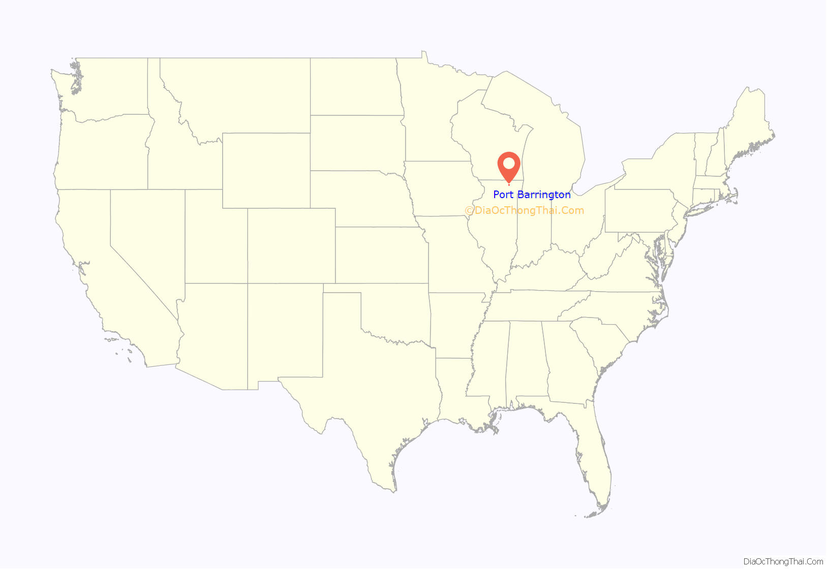
Port Barrington location map. Where is Port Barrington village?
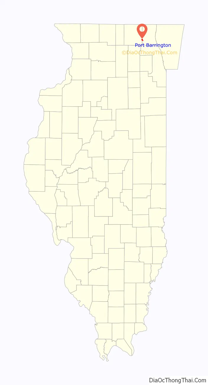
Port Barrington Road Map
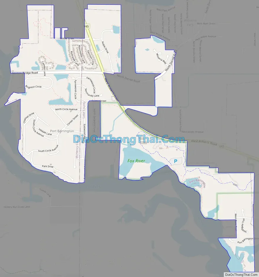
Port Barrington city Satellite Map

Geography
Port Barrington is located at 42°14′37″N 88°11′53″W / 42.24361°N 88.19806°W / 42.24361; -88.19806 (42.243667, -88.198000).
According to the 2010 census, Port Barrington has a total area of 1.286 square miles (3.33 km), of which 1.15 square miles (2.98 km) (or 89.42%) is land and 0.136 square miles (0.35 km) (or 10.58%) is water.
See also
Map of Illinois State and its subdivision:- Adams
- Alexander
- Bond
- Boone
- Brown
- Bureau
- Calhoun
- Carroll
- Cass
- Champaign
- Christian
- Clark
- Clay
- Clinton
- Coles
- Cook
- Crawford
- Cumberland
- De Kalb
- De Witt
- Douglas
- Dupage
- Edgar
- Edwards
- Effingham
- Fayette
- Ford
- Franklin
- Fulton
- Gallatin
- Greene
- Grundy
- Hamilton
- Hancock
- Hardin
- Henderson
- Henry
- Iroquois
- Jackson
- Jasper
- Jefferson
- Jersey
- Jo Daviess
- Johnson
- Kane
- Kankakee
- Kendall
- Knox
- La Salle
- Lake
- Lake Michigan
- Lawrence
- Lee
- Livingston
- Logan
- Macon
- Macoupin
- Madison
- Marion
- Marshall
- Mason
- Massac
- McDonough
- McHenry
- McLean
- Menard
- Mercer
- Monroe
- Montgomery
- Morgan
- Moultrie
- Ogle
- Peoria
- Perry
- Piatt
- Pike
- Pope
- Pulaski
- Putnam
- Randolph
- Richland
- Rock Island
- Saint Clair
- Saline
- Sangamon
- Schuyler
- Scott
- Shelby
- Stark
- Stephenson
- Tazewell
- Union
- Vermilion
- Wabash
- Warren
- Washington
- Wayne
- White
- Whiteside
- Will
- Williamson
- Winnebago
- Woodford
- Alabama
- Alaska
- Arizona
- Arkansas
- California
- Colorado
- Connecticut
- Delaware
- District of Columbia
- Florida
- Georgia
- Hawaii
- Idaho
- Illinois
- Indiana
- Iowa
- Kansas
- Kentucky
- Louisiana
- Maine
- Maryland
- Massachusetts
- Michigan
- Minnesota
- Mississippi
- Missouri
- Montana
- Nebraska
- Nevada
- New Hampshire
- New Jersey
- New Mexico
- New York
- North Carolina
- North Dakota
- Ohio
- Oklahoma
- Oregon
- Pennsylvania
- Rhode Island
- South Carolina
- South Dakota
- Tennessee
- Texas
- Utah
- Vermont
- Virginia
- Washington
- West Virginia
- Wisconsin
- Wyoming


