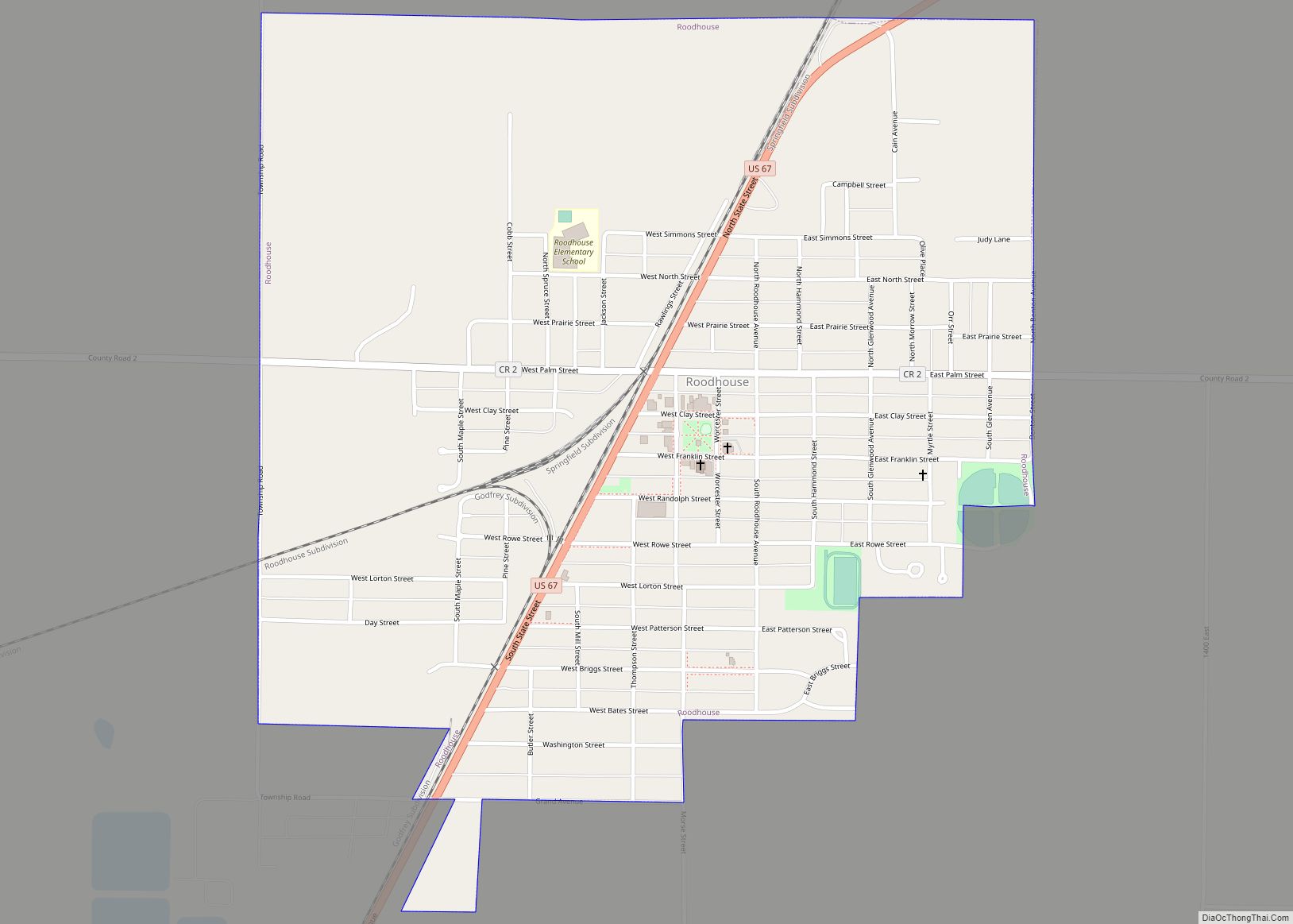
Roodhouse is a city in Greene County, Illinois, United States. The population was 1,814 at the 2010 census, down from 2,214 at the 2000 census.
| Name: | Roodhouse city |
|---|---|
| LSAD Code: | 25 |
| LSAD Description: | city (suffix) |
| State: | Illinois |
| County: | Greene County |
| Elevation: | 653 ft (199 m) |
| Total Area: | 1.13 sq mi (2.92 km²) |
| Land Area: | 1.13 sq mi (2.92 km²) |
| Water Area: | 0.00 sq mi (0.00 km²) |
| Total Population: | 1,578 |
| Population Density: | 1,400.18/sq mi (540.62/km²) |
| Area code: | 217 |
| FIPS code: | 1765481 |
| GNISfeature ID: | 2396424 |
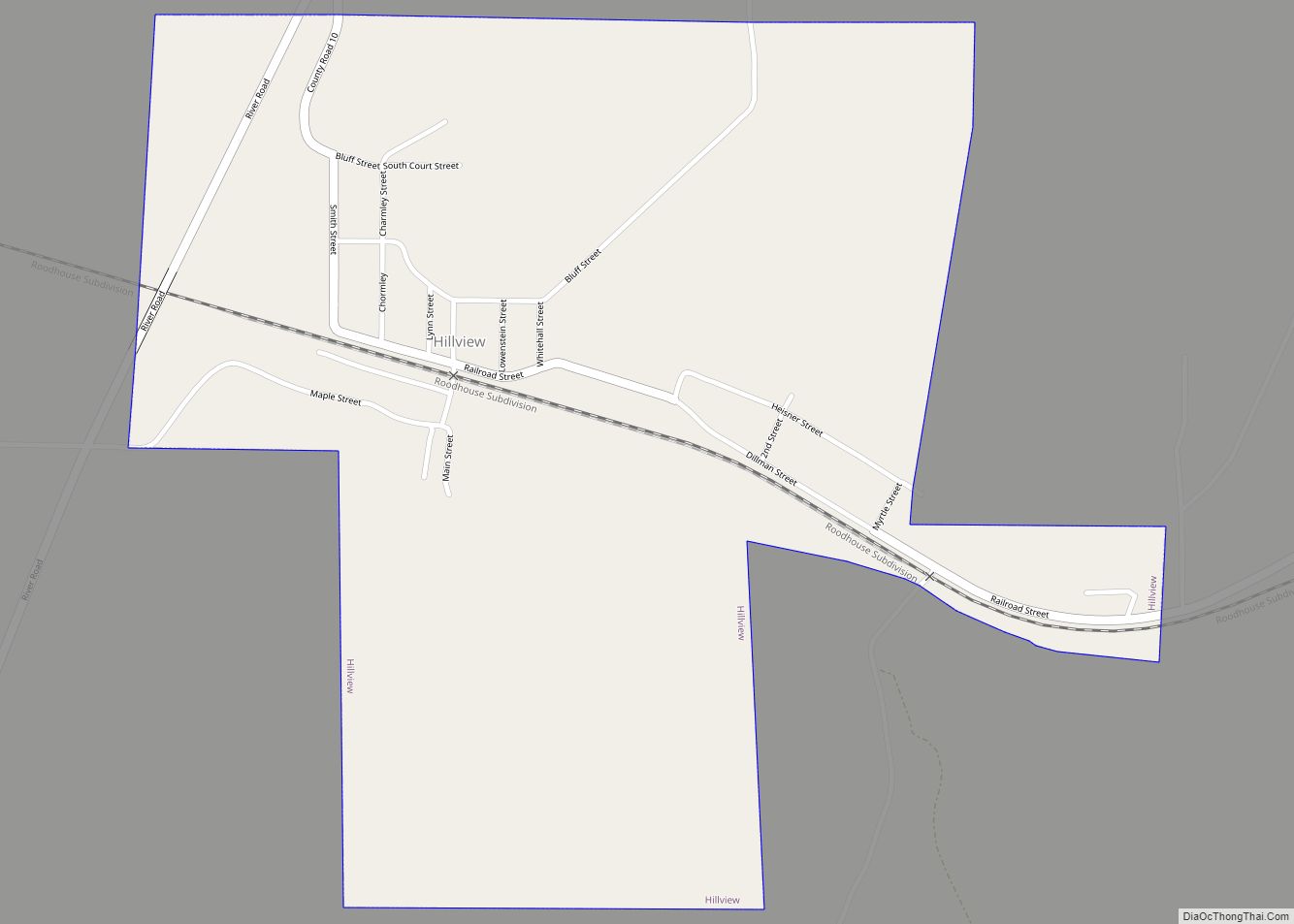
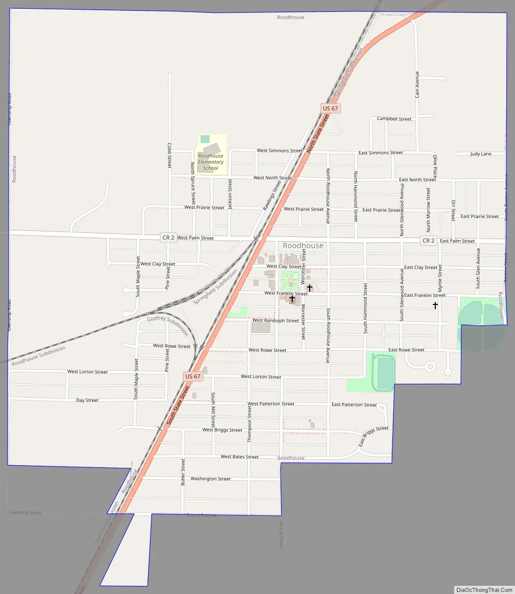
Online Interactive Map
Click on ![]() to view map in "full screen" mode.
to view map in "full screen" mode.
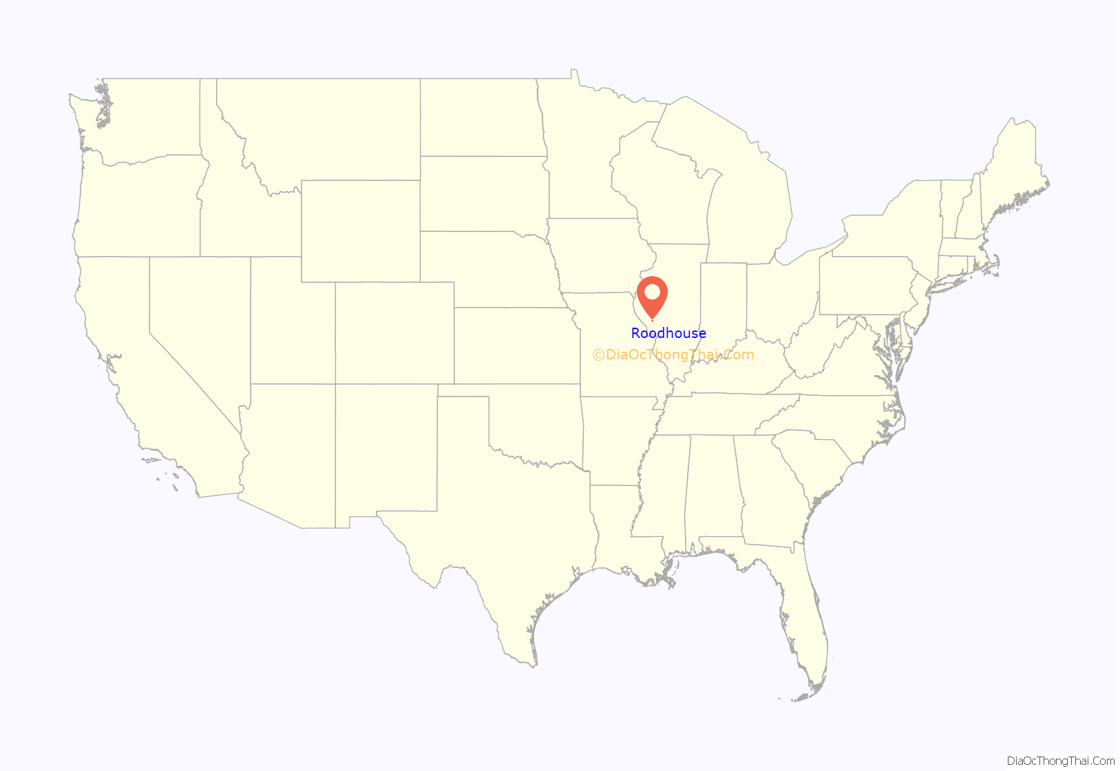
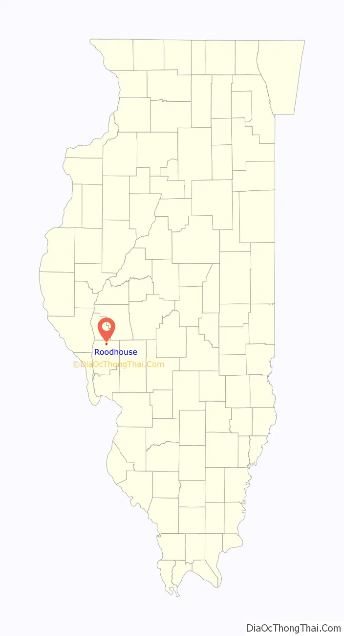
Roodhouse location map. Where is Roodhouse city?
History
Roodhouse was founded in the 1850s by John Roodhouse. The community was originally known as “The Crossroads” for its position on two major highways, though it was later renamed for its founder. In 1860, John Rawlins convinced the Chicago and Alton Railway to open a station in the community by promising to secure local funds for the depot and warehouse. The railway built its Louisiana branch from Roodhouse in 1871, and the city became a major junction point, boosting its population and economy. Roodhouse was legally incorporated as a city in 1880. Passenger railroad service to Roodhouse ended in the 1950s, causing a local economic downturn which persisted over the following decades.
The Hotel Roodhouse, the city’s only surviving hotel from the railroad era, is listed on the National Register of Historic Places.
Roodhouse Road Map
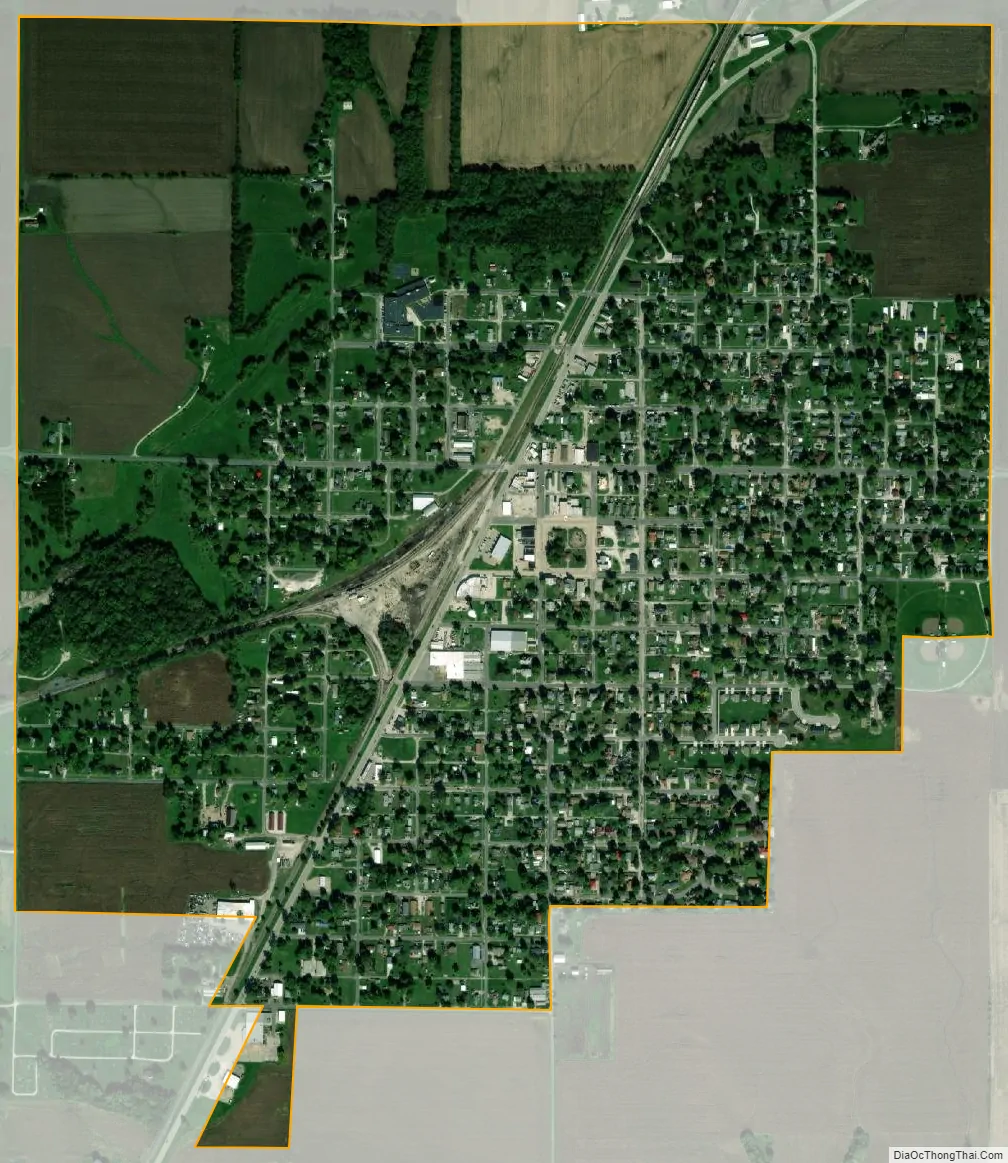
Roodhouse city Satellite Map
Geography
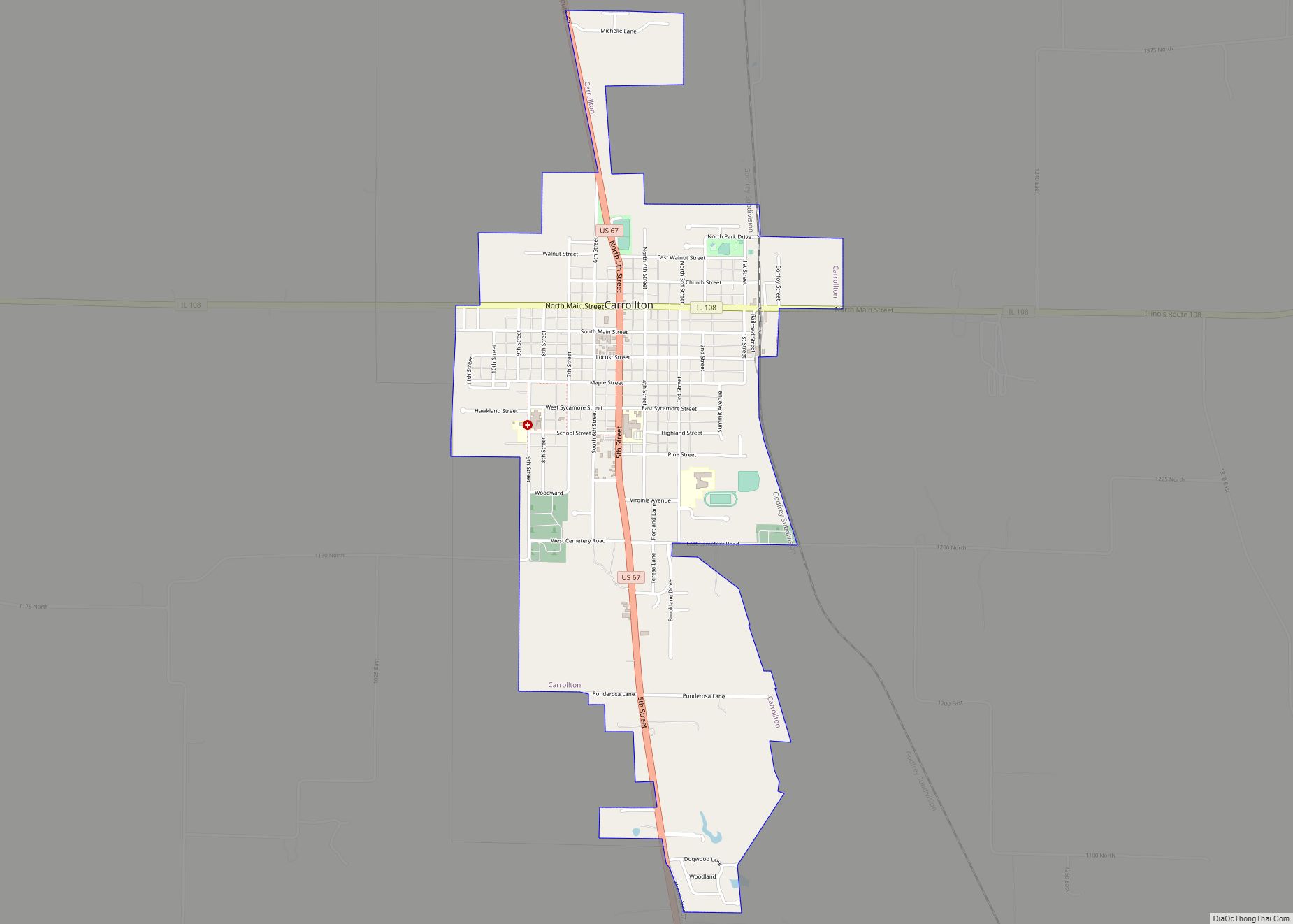
Roodhouse is located in northern Greene County at 39°28′55″N 90°22′18″W / 39.48194°N 90.37167°W / 39.48194; -90.37167 (39.482004, -90.371780). U.S. Route 67 passes through the center of the city, leading north 22 miles (35 km) to Jacksonville and south 13 miles (21 km) to Carrollton, the Greene County seat.
According to the 2010 census, Roodhouse has a total area of 1.13 square miles (2.93 km), all land.
See also
Map of Illinois State and its subdivision:- Adams
- Alexander
- Bond
- Boone
- Brown
- Bureau
- Calhoun
- Carroll
- Cass
- Champaign
- Christian
- Clark
- Clay
- Clinton
- Coles
- Cook
- Crawford
- Cumberland
- De Kalb
- De Witt
- Douglas
- Dupage
- Edgar
- Edwards
- Effingham
- Fayette
- Ford
- Franklin
- Fulton
- Gallatin
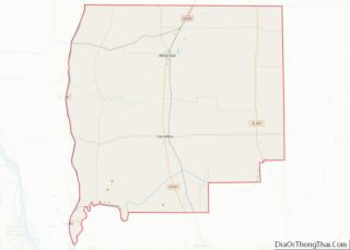
- Greene
- Grundy
- Hamilton
- Hancock
- Hardin
- Henderson
- Henry
- Iroquois
- Jackson
- Jasper
- Jefferson
- Jersey
- Jo Daviess
- Johnson
- Kane
- Kankakee
- Kendall
- Knox
- La Salle
- Lake
- Lake Michigan
- Lawrence
- Lee
- Livingston
- Logan
- Macon
- Macoupin
- Madison
- Marion
- Marshall
- Mason
- Massac
- McDonough
- McHenry
- McLean
- Menard
- Mercer
- Monroe
- Montgomery
- Morgan
- Moultrie
- Ogle
- Peoria
- Perry
- Piatt
- Pike
- Pope
- Pulaski
- Putnam
- Randolph
- Richland
- Rock Island
- Saint Clair
- Saline
- Sangamon
- Schuyler
- Scott
- Shelby
- Stark
- Stephenson
- Tazewell
- Union
- Vermilion
- Wabash
- Warren
- Washington
- Wayne
- White
- Whiteside
- Will
- Williamson
- Winnebago
- Woodford
- Alabama
- Alaska
- Arizona
- Arkansas
- California
- Colorado
- Connecticut
- Delaware
- District of Columbia
- Florida
- Georgia
- Hawaii
- Idaho
- Illinois
- Indiana
- Iowa
- Kansas
- Kentucky
- Louisiana
- Maine
- Maryland
- Massachusetts
- Michigan
- Minnesota
- Mississippi
- Missouri
- Montana
- Nebraska
- Nevada
- New Hampshire
- New Jersey
- New Mexico
- New York
- North Carolina
- North Dakota
- Ohio
- Oklahoma
- Oregon
- Pennsylvania
- Rhode Island
- South Carolina
- South Dakota
- Tennessee
- Texas
- Utah
- Vermont
- Virginia
- Washington
- West Virginia
- Wisconsin
- Wyoming