Royalton is a village in Franklin County, Illinois, United States. The population was 1,151 at the 2010 census.
| Name: | Royalton village |
|---|---|
| LSAD Code: | 47 |
| LSAD Description: | village (suffix) |
| State: | Illinois |
| County: | Franklin County |
| Elevation: | 390 ft (120 m) |
| Total Area: | 1.12 sq mi (2.91 km²) |
| Land Area: | 1.11 sq mi (2.89 km²) |
| Water Area: | 0.01 sq mi (0.02 km²) |
| Total Population: | 1,068 |
| Population Density: | 957.85/sq mi (369.81/km²) |
| Area code: | 618 |
| FIPS code: | 1766209 |
| GNISfeature ID: | 417020 |
| Website: | www.royaltonillinois.com |
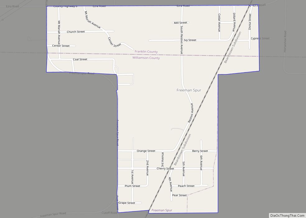
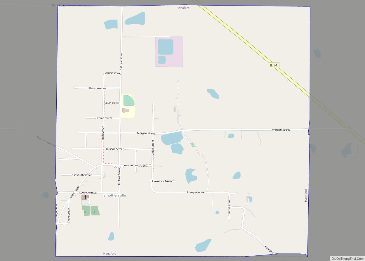
Online Interactive Map
Click on ![]() to view map in "full screen" mode.
to view map in "full screen" mode.
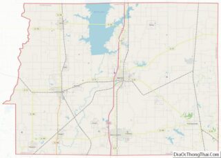
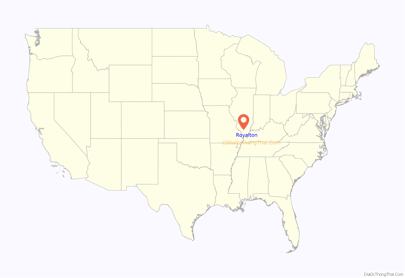
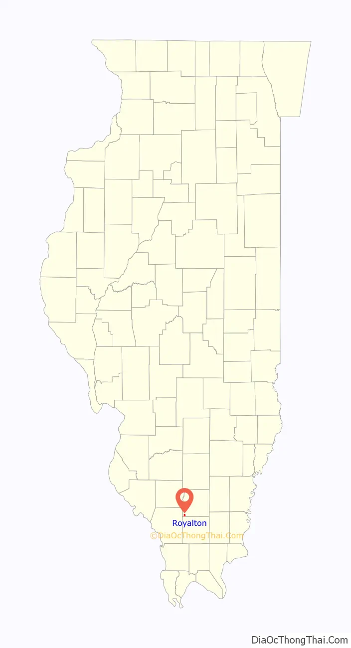
Royalton location map. Where is Royalton village?
History
According to the original surveys of Illinois, in the early 19th century the Lusk’s Ferry Road ran through the middle of what is now Royalton, heading on a diagonal line toward the southeast. The Lusk’s Ferry Road was an important early road connecting Fort Kaskaskia with Lusk’s Ferry on the Ohio River. No trace of this road remains near Royalton. It is not clear whether the road figured in the early history of the town, or if it was long forgotten before Royalton came into existence.
Royalton was established in 1907.
On October 22, 1914, an explosion in the North Mine of the Franklin Coal & Coke Company killed 51 miners. This was the worst mine disaster to date in the coal fields of southern Illinois.
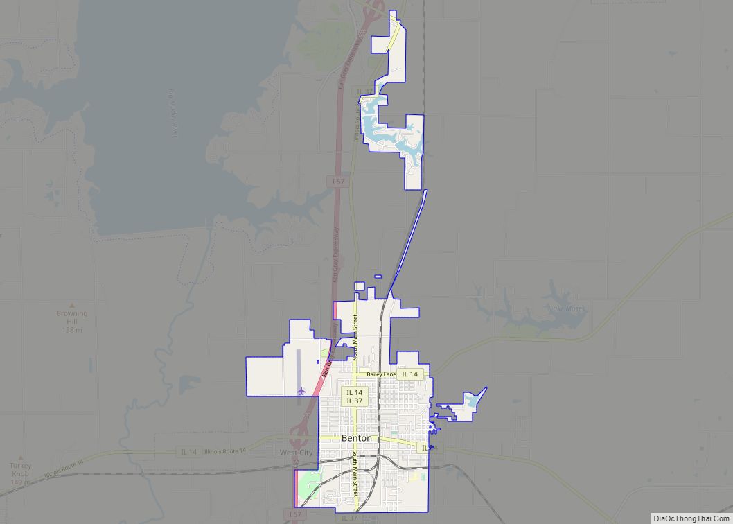
Royalton Road Map
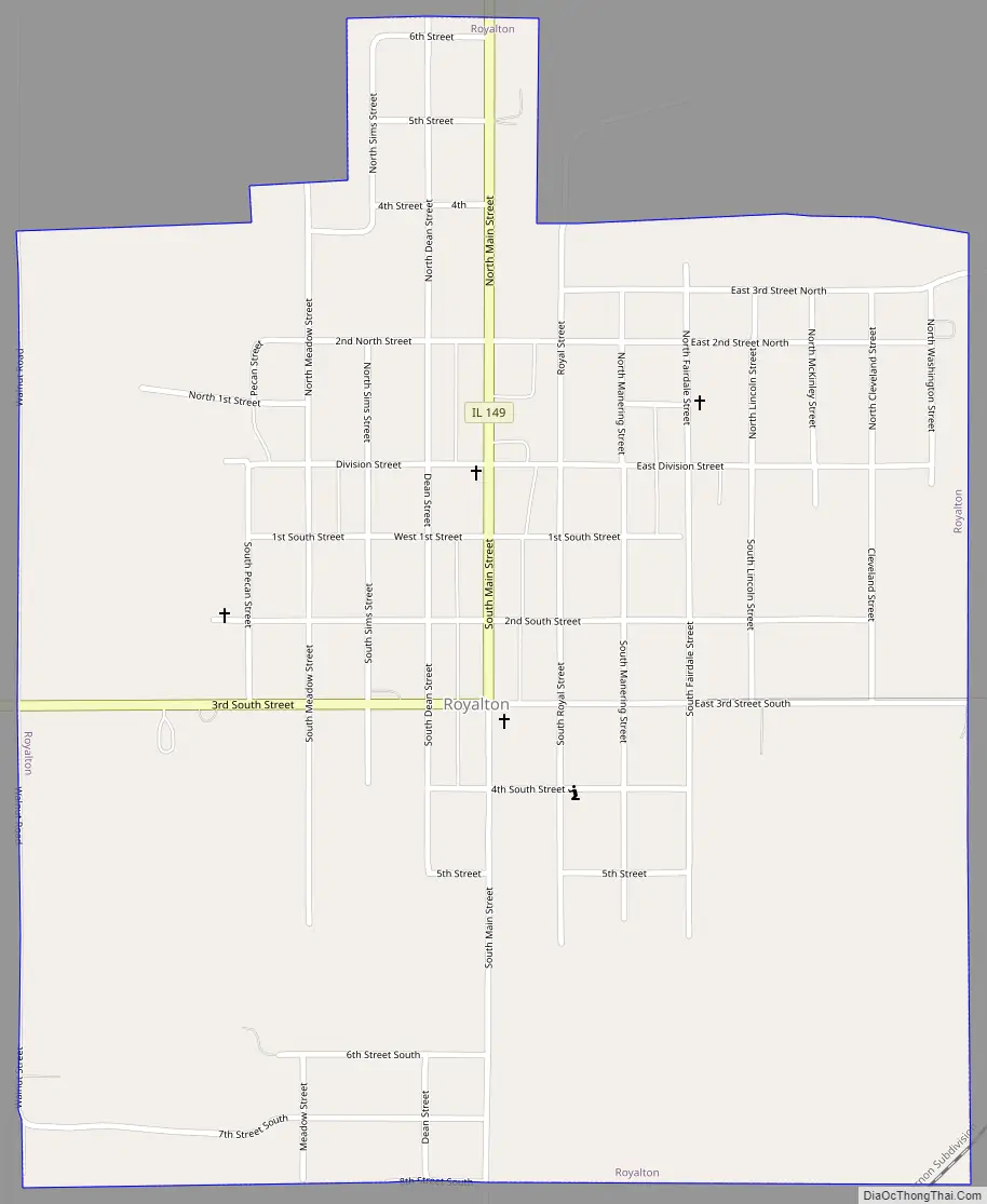
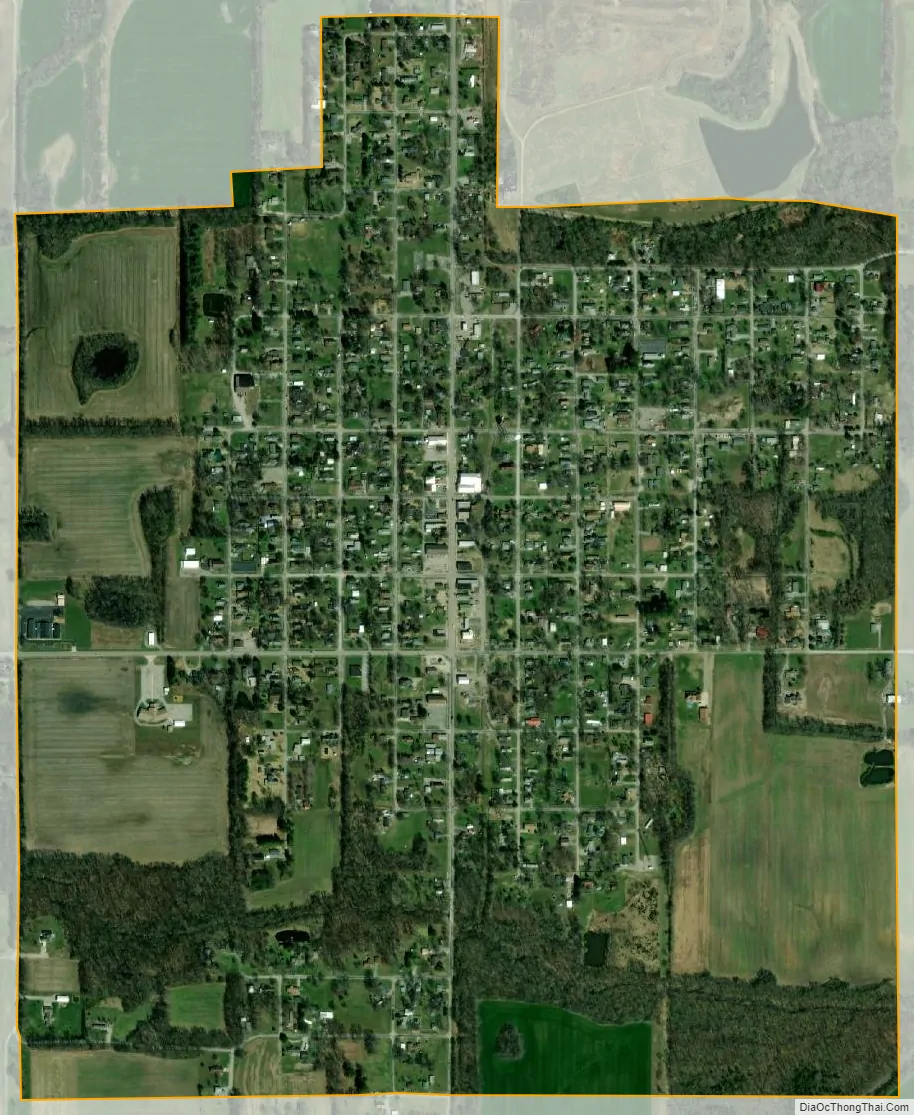
Royalton city Satellite Map
Geography
Royalton is located in southwestern Franklin County at 37°52′49″N 89°6′49″W / 37.88028°N 89.11361°W / 37.88028; -89.11361 (37.880196, -89.113509). Illinois Route 149 passes through the center of town, leading north and east 4.5 miles (7.2 km) to Zeigler and west and south 4.5 miles (7.2 km) to Hurst.
According to the 2010 census, Royalton has a total area of 1.128 square miles (2.92 km), of which 1.12 square miles (2.90 km) (or 99.29%) is land and 0.008 square miles (0.02 km) (or 0.71%) is water.
See also
Map of Illinois State and its subdivision:- Adams
- Alexander
- Bond
- Boone
- Brown
- Bureau
- Calhoun
- Carroll
- Cass
- Champaign
- Christian
- Clark
- Clay
- Clinton
- Coles
- Cook
- Crawford
- Cumberland
- De Kalb
- De Witt
- Douglas
- Dupage
- Edgar
- Edwards
- Effingham
- Fayette
- Ford
- Franklin
- Fulton
- Gallatin
- Greene
- Grundy
- Hamilton
- Hancock
- Hardin
- Henderson
- Henry
- Iroquois
- Jackson
- Jasper
- Jefferson
- Jersey
- Jo Daviess
- Johnson
- Kane
- Kankakee
- Kendall
- Knox
- La Salle
- Lake
- Lake Michigan
- Lawrence
- Lee
- Livingston
- Logan
- Macon
- Macoupin
- Madison
- Marion
- Marshall
- Mason
- Massac
- McDonough
- McHenry
- McLean
- Menard
- Mercer
- Monroe
- Montgomery
- Morgan
- Moultrie
- Ogle
- Peoria
- Perry
- Piatt
- Pike
- Pope
- Pulaski
- Putnam
- Randolph
- Richland
- Rock Island
- Saint Clair
- Saline
- Sangamon
- Schuyler
- Scott
- Shelby
- Stark
- Stephenson
- Tazewell
- Union
- Vermilion
- Wabash
- Warren
- Washington
- Wayne
- White
- Whiteside
- Will
- Williamson
- Winnebago
- Woodford
- Alabama
- Alaska
- Arizona
- Arkansas
- California
- Colorado
- Connecticut
- Delaware
- District of Columbia
- Florida
- Georgia
- Hawaii
- Idaho
- Illinois
- Indiana
- Iowa
- Kansas
- Kentucky
- Louisiana
- Maine
- Maryland
- Massachusetts
- Michigan
- Minnesota
- Mississippi
- Missouri
- Montana
- Nebraska
- Nevada
- New Hampshire
- New Jersey
- New Mexico
- New York
- North Carolina
- North Dakota
- Ohio
- Oklahoma
- Oregon
- Pennsylvania
- Rhode Island
- South Carolina
- South Dakota
- Tennessee
- Texas
- Utah
- Vermont
- Virginia
- Washington
- West Virginia
- Wisconsin
- Wyoming