Zeigler is a city in Franklin County, Illinois, United States. The population was 1,801 at the 2010 census. The current mayor is Dennis Mitchell.
| Name: | Zeigler city |
|---|---|
| LSAD Code: | 25 |
| LSAD Description: | city (suffix) |
| State: | Illinois |
| County: | Franklin County |
| Elevation: | 417 ft (127 m) |
| Total Area: | 1.37 sq mi (3.54 km²) |
| Land Area: | 1.36 sq mi (3.52 km²) |
| Water Area: | 0.01 sq mi (0.02 km²) |
| Total Population: | 1,484 |
| Population Density: | 1,091.98/sq mi (421.68/km²) |
| Area code: | 618 |
| FIPS code: | 1784155 |
| GNISfeature ID: | 421611 |
| Website: | cityofzeiglerillinois.com |
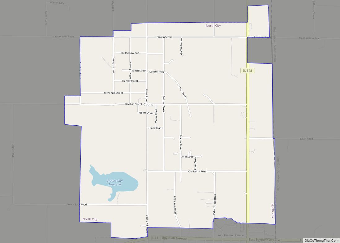
Online Interactive Map
Click on ![]() to view map in "full screen" mode.
to view map in "full screen" mode.
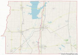
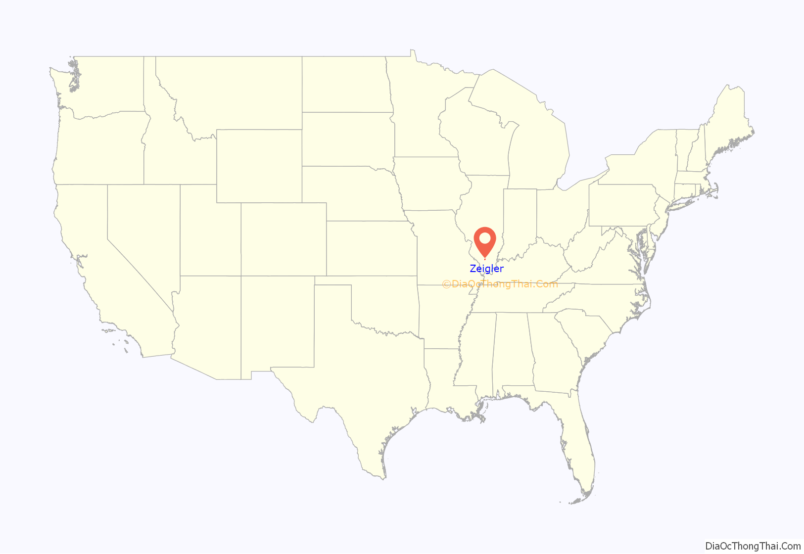
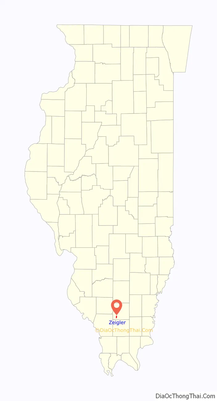
Zeigler location map. Where is Zeigler city?
History
Zeigler incorporated in 1914 and was named for Levi Zeigler Leiter, the father of Joseph Leiter, the founder of the Zeigler Coal Company.
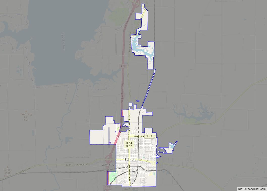
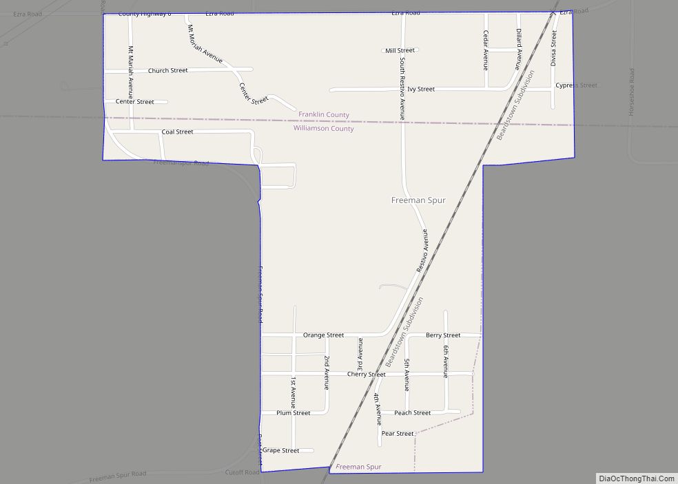
Zeigler Road Map
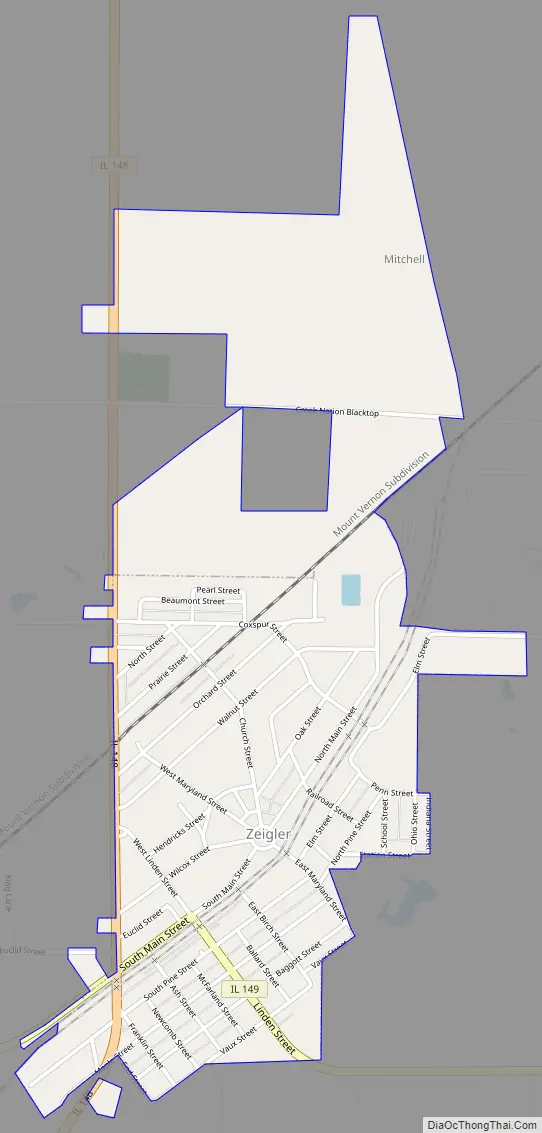
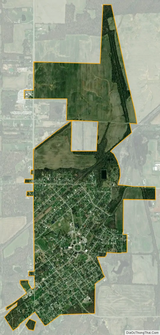
Zeigler city Satellite Map
Geography
Zeigler is located in southwestern Franklin County at 37°53′59″N 89°3′12″W / 37.89972°N 89.05333°W / 37.89972; -89.05333 (37.899856, -89.053429). Illinois Route 149 passes through the center of town, leading east 7.5 miles (12.1 km) to West Frankfort and west 4 miles (6 km) to Royalton. Interstate 57 is 6 miles (10 km) east of Zeigler via Route 149. Illinois Route 148 follows the western border of Zeigler, leading north 5 miles (8 km) to Christopher and south 7 miles (11 km) to Herrin. The city is laid out in the shape of a wagon wheel, with the post office, library, and several shops concentrated around a circular park at the center, and streets radiating out from the center.
According to the 2010 census, Zeigler has a total area of 1.357 square miles (3.51 km), of which 1.35 square miles (3.50 km) (or 99.48%) is land and 0.007 square miles (0.02 km) (or 0.52%) is water.
See also
Map of Illinois State and its subdivision:- Adams
- Alexander
- Bond
- Boone
- Brown
- Bureau
- Calhoun
- Carroll
- Cass
- Champaign
- Christian
- Clark
- Clay
- Clinton
- Coles
- Cook
- Crawford
- Cumberland
- De Kalb
- De Witt
- Douglas
- Dupage
- Edgar
- Edwards
- Effingham
- Fayette
- Ford
- Franklin
- Fulton
- Gallatin
- Greene
- Grundy
- Hamilton
- Hancock
- Hardin
- Henderson
- Henry
- Iroquois
- Jackson
- Jasper
- Jefferson
- Jersey
- Jo Daviess
- Johnson
- Kane
- Kankakee
- Kendall
- Knox
- La Salle
- Lake
- Lake Michigan
- Lawrence
- Lee
- Livingston
- Logan
- Macon
- Macoupin
- Madison
- Marion
- Marshall
- Mason
- Massac
- McDonough
- McHenry
- McLean
- Menard
- Mercer
- Monroe
- Montgomery
- Morgan
- Moultrie
- Ogle
- Peoria
- Perry
- Piatt
- Pike
- Pope
- Pulaski
- Putnam
- Randolph
- Richland
- Rock Island
- Saint Clair
- Saline
- Sangamon
- Schuyler
- Scott
- Shelby
- Stark
- Stephenson
- Tazewell
- Union
- Vermilion
- Wabash
- Warren
- Washington
- Wayne
- White
- Whiteside
- Will
- Williamson
- Winnebago
- Woodford
- Alabama
- Alaska
- Arizona
- Arkansas
- California
- Colorado
- Connecticut
- Delaware
- District of Columbia
- Florida
- Georgia
- Hawaii
- Idaho
- Illinois
- Indiana
- Iowa
- Kansas
- Kentucky
- Louisiana
- Maine
- Maryland
- Massachusetts
- Michigan
- Minnesota
- Mississippi
- Missouri
- Montana
- Nebraska
- Nevada
- New Hampshire
- New Jersey
- New Mexico
- New York
- North Carolina
- North Dakota
- Ohio
- Oklahoma
- Oregon
- Pennsylvania
- Rhode Island
- South Carolina
- South Dakota
- Tennessee
- Texas
- Utah
- Vermont
- Virginia
- Washington
- West Virginia
- Wisconsin
- Wyoming