Russellville is a village in Lawrence County, Illinois, United States. The population was 94 at the 2010 census.
| Name: | Russellville village |
|---|---|
| LSAD Code: | 47 |
| LSAD Description: | village (suffix) |
| State: | Illinois |
| County: | Lawrence County |
| Elevation: | 427 ft (130 m) |
| Total Area: | 0.41 sq mi (1.06 km²) |
| Land Area: | 0.40 sq mi (1.03 km²) |
| Water Area: | 0.01 sq mi (0.02 km²) |
| Total Population: | 98 |
| Population Density: | 245.00/sq mi (94.71/km²) |
| ZIP code: | 62439 |
| Area code: | 618 |
| FIPS code: | 1766404 |
| GNISfeature ID: | 2399148 |
Online Interactive Map
Click on ![]() to view map in "full screen" mode.
to view map in "full screen" mode.
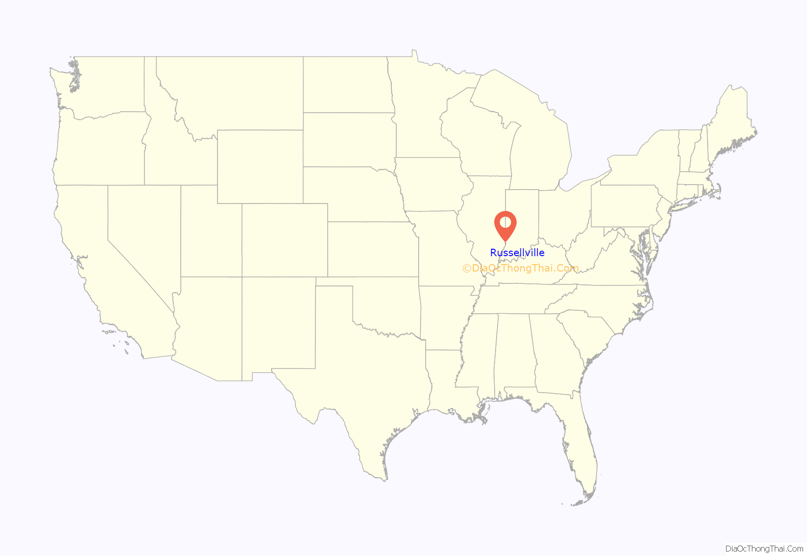
Russellville location map. Where is Russellville village?
History
Russellville is rooted in a fort built by Samuel and Jonathan Allison near the site of an abandoned Indian village known as “Little Village” in the early 1800s. A town site was platted in 1835, and named for the Russell brothers, August, Andrew, and Clement, who provided lumber for the settlement’s first buildings. Russellville incorporated in 1875.
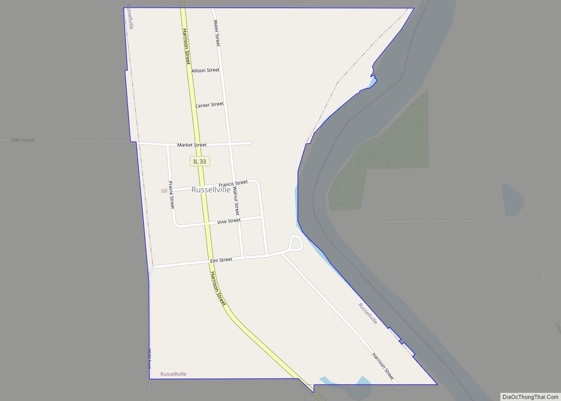
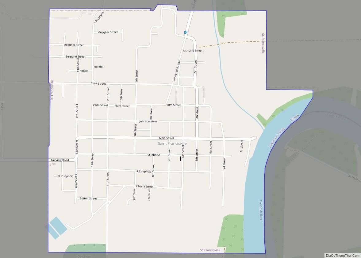
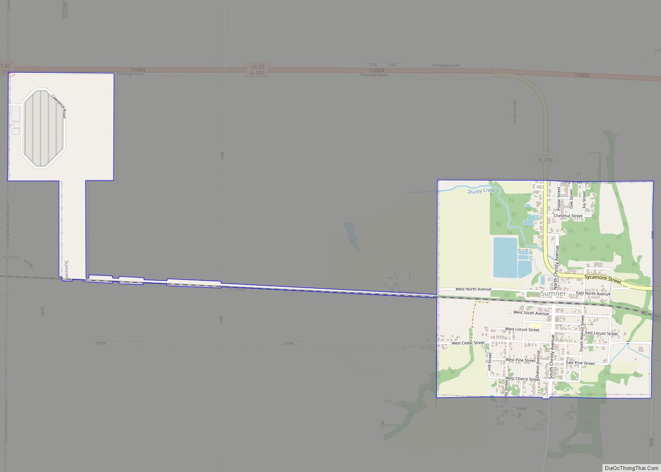
Russellville Road Map
Russellville city Satellite Map
Geography
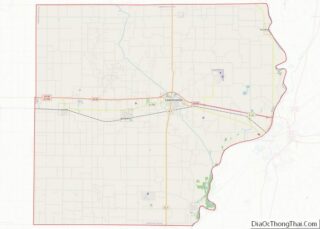
Russellville is located in northeastern Lawrence County on the west bank of the Wabash River, which forms the Illinois–Indiana border. Illinois Route 33 passes through the village center, leading north 14 miles (23 km) to Palestine and south 10 miles (16 km) to Westport, across the river from Vincennes, Indiana.
According to the 2010 census, Russellville has a total area of 0.47 square miles (1.22 km), all land.
See also
Map of Illinois State and its subdivision:- Adams
- Alexander
- Bond
- Boone
- Brown
- Bureau
- Calhoun
- Carroll
- Cass
- Champaign
- Christian
- Clark
- Clay
- Clinton
- Coles
- Cook
- Crawford
- Cumberland
- De Kalb
- De Witt
- Douglas
- Dupage
- Edgar
- Edwards
- Effingham
- Fayette
- Ford
- Franklin
- Fulton
- Gallatin
- Greene
- Grundy
- Hamilton
- Hancock
- Hardin
- Henderson
- Henry
- Iroquois
- Jackson
- Jasper
- Jefferson
- Jersey
- Jo Daviess
- Johnson
- Kane
- Kankakee
- Kendall
- Knox
- La Salle
- Lake
- Lake Michigan
- Lawrence
- Lee
- Livingston
- Logan
- Macon
- Macoupin
- Madison
- Marion
- Marshall
- Mason
- Massac
- McDonough
- McHenry
- McLean
- Menard
- Mercer
- Monroe
- Montgomery
- Morgan
- Moultrie
- Ogle
- Peoria
- Perry
- Piatt
- Pike
- Pope
- Pulaski
- Putnam
- Randolph
- Richland
- Rock Island
- Saint Clair
- Saline
- Sangamon
- Schuyler
- Scott
- Shelby
- Stark
- Stephenson
- Tazewell
- Union
- Vermilion
- Wabash
- Warren
- Washington
- Wayne
- White
- Whiteside
- Will
- Williamson
- Winnebago
- Woodford
- Alabama
- Alaska
- Arizona
- Arkansas
- California
- Colorado
- Connecticut
- Delaware
- District of Columbia
- Florida
- Georgia
- Hawaii
- Idaho
- Illinois
- Indiana
- Iowa
- Kansas
- Kentucky
- Louisiana
- Maine
- Maryland
- Massachusetts
- Michigan
- Minnesota
- Mississippi
- Missouri
- Montana
- Nebraska
- Nevada
- New Hampshire
- New Jersey
- New Mexico
- New York
- North Carolina
- North Dakota
- Ohio
- Oklahoma
- Oregon
- Pennsylvania
- Rhode Island
- South Carolina
- South Dakota
- Tennessee
- Texas
- Utah
- Vermont
- Virginia
- Washington
- West Virginia
- Wisconsin
- Wyoming
