Sandoval /sænˈdoʊvəl/ is a village in Marion County, Illinois, United States. The population was 1,157 at the 2020 census.
| Name: | Sandoval village |
|---|---|
| LSAD Code: | 47 |
| LSAD Description: | village (suffix) |
| State: | Illinois |
| County: | Marion County |
| Elevation: | 505 ft (154 m) |
| Total Area: | 1.00 sq mi (2.58 km²) |
| Land Area: | 1.00 sq mi (2.58 km²) |
| Water Area: | 0.00 sq mi (0.00 km²) |
| Total Population: | 1,157 |
| Population Density: | 1,161.65/sq mi (448.67/km²) |
| ZIP code: | 62882 |
| Area code: | 618 |
| FIPS code: | 1767444 |
| Website: | villageofsandoval.com |
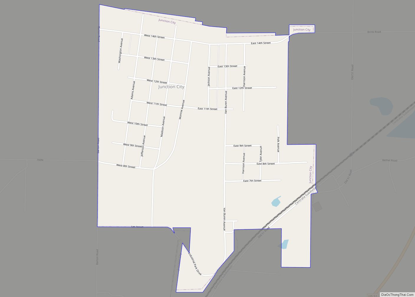
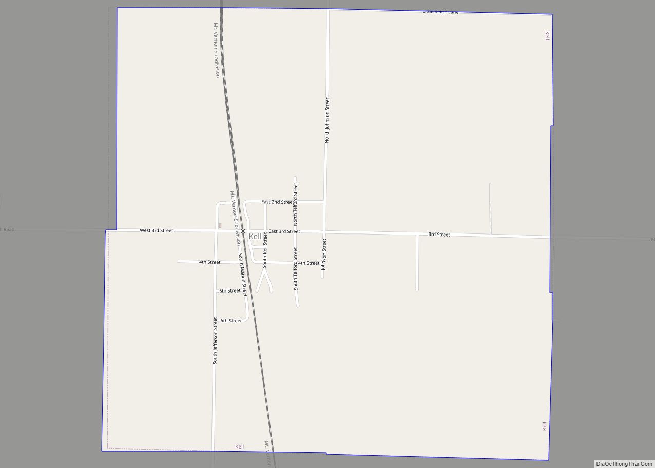
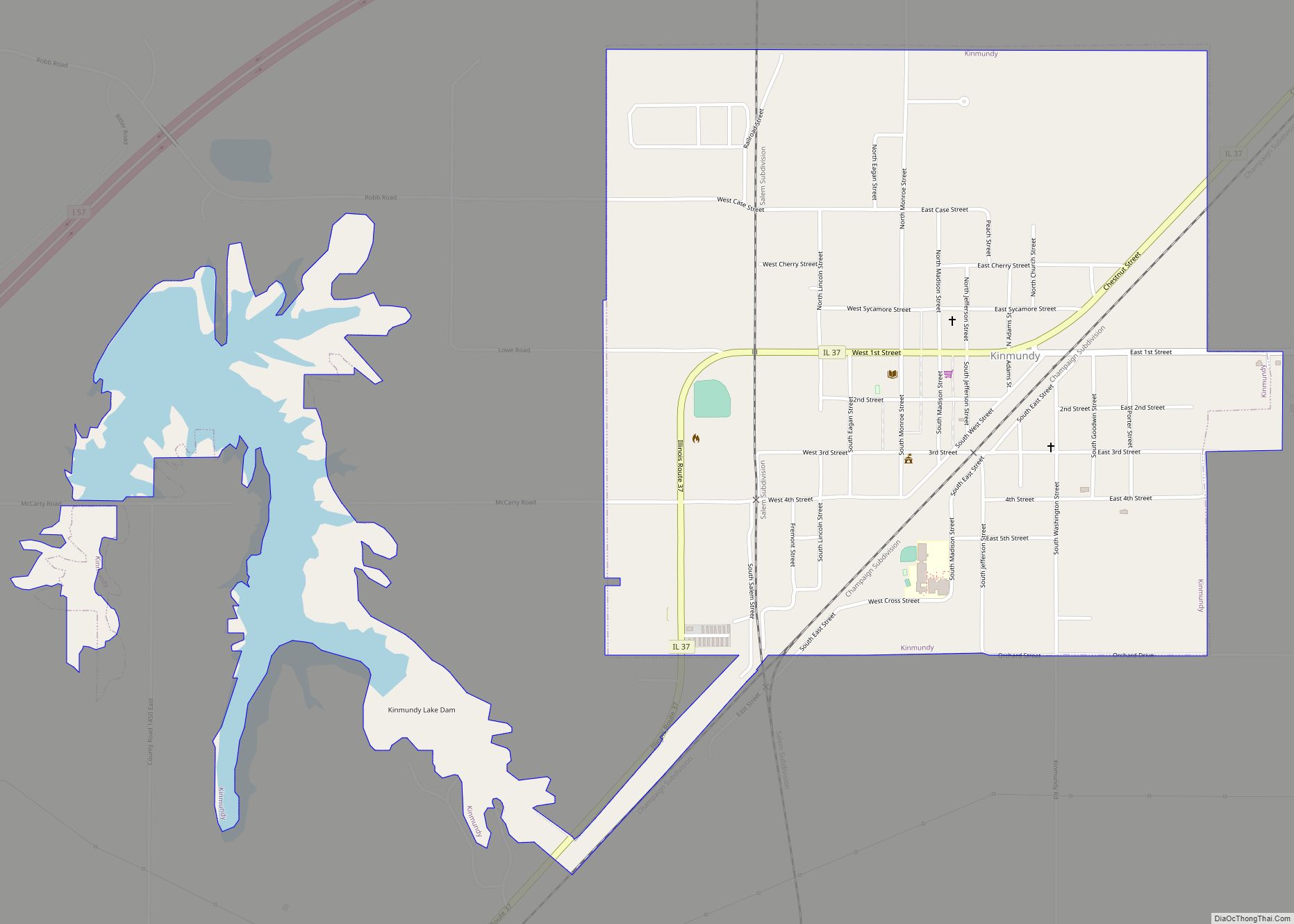
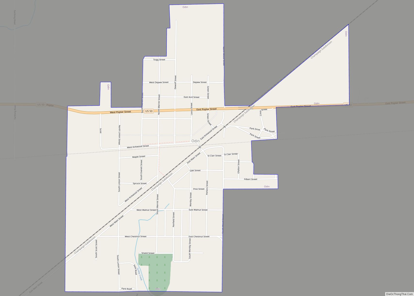
Online Interactive Map
Click on ![]() to view map in "full screen" mode.
to view map in "full screen" mode.
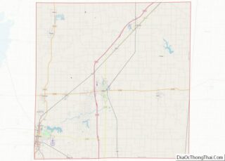
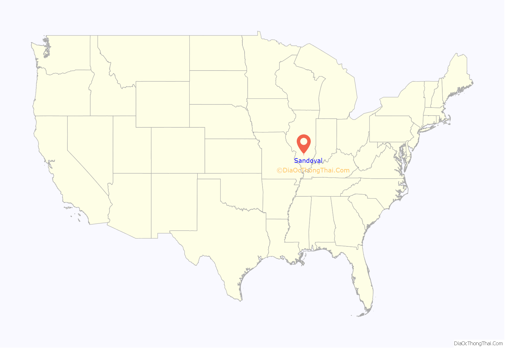
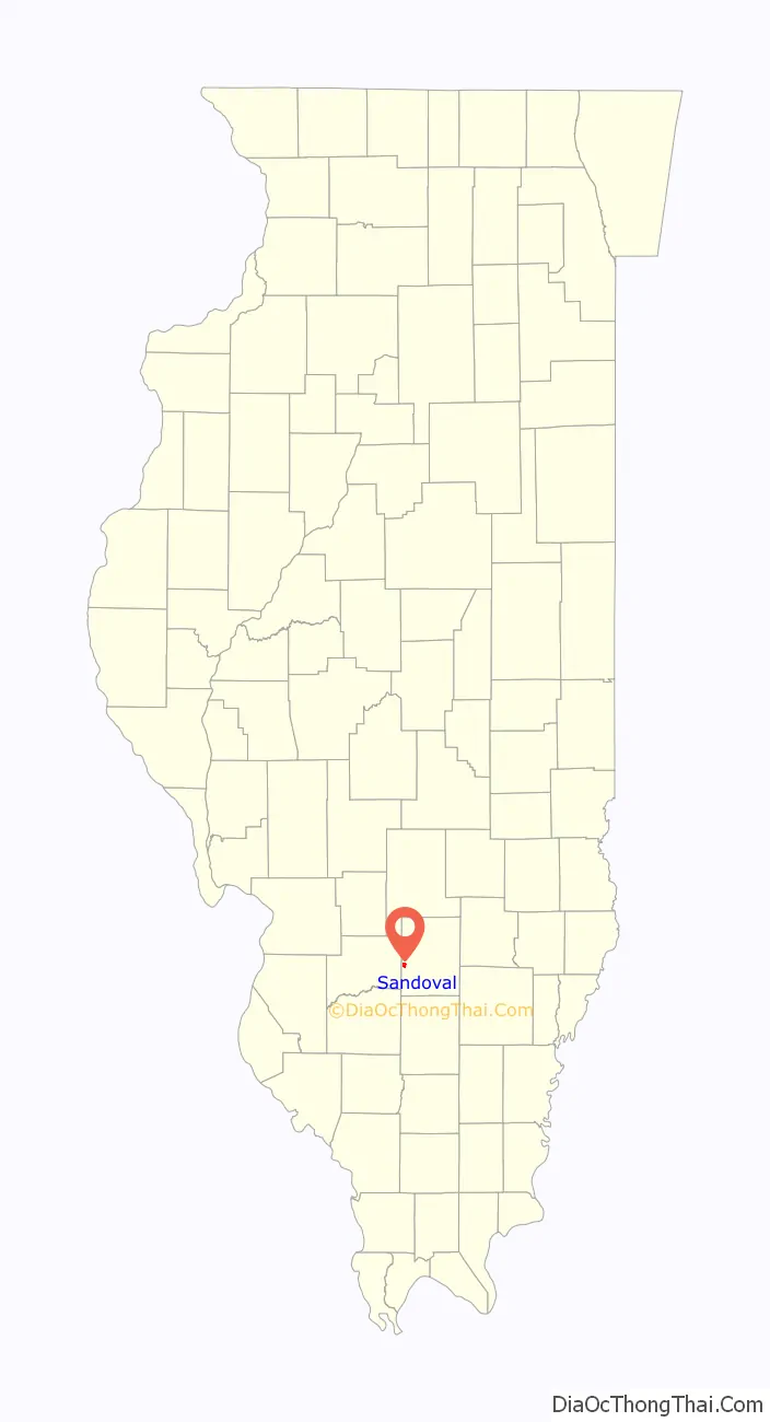
Sandoval location map. Where is Sandoval village?
History
In the 1890s, Sandoval was a sundown town, prohibiting African Americans from entering or living in the town.
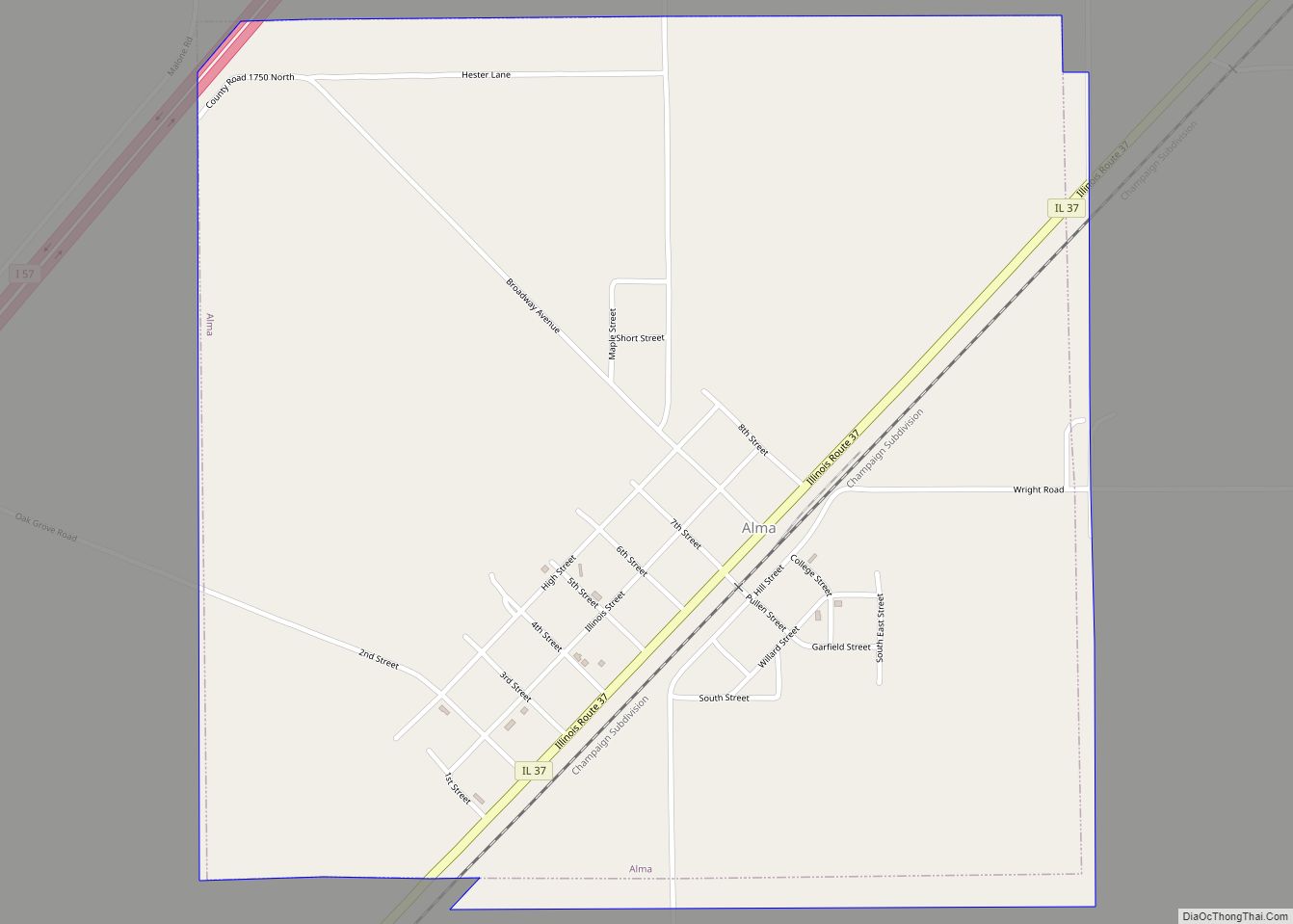
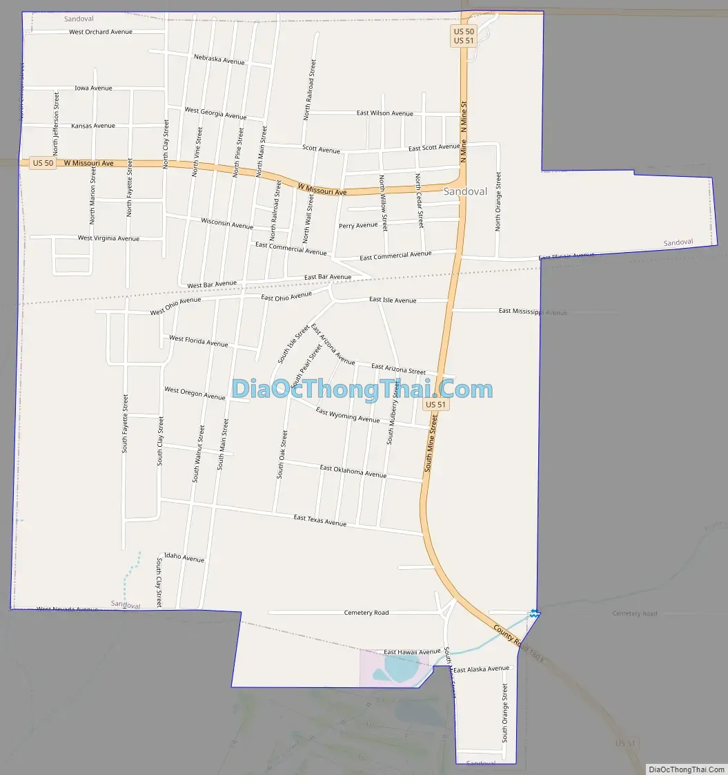
Sandoval Road Map
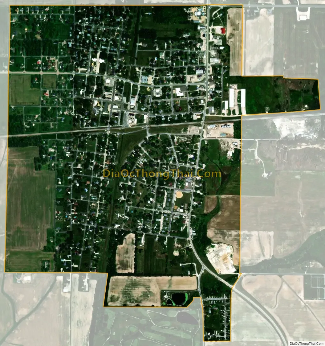
Sandoval city Satellite Map
Geography
Sandoval is located in western Marion County. U.S. Route 50 passes through the village center as Missouri Avenue, leading east 9 miles (14 km) to Salem, the county seat, and west 14 miles (23 km) to Carlyle. U.S. Route 51 runs through the east side of the village on Mine Street, leading north 24 miles (39 km) to Vandalia and south 6 miles (10 km) to Centralia.
According to the U.S. Census Bureau, Sandoval has a total area of 1.0 square mile (2.6 km), all land. Prairie Creek, a southwest-flowing tributary Lost Creek, crosses the southeast corner of the village. Via Lost Creek and its outflow to Crooked Creek, Sandoval is part of the Kaskaskia River watershed leading to the Mississippi River.
See also
Map of Illinois State and its subdivision:- Adams
- Alexander
- Bond
- Boone
- Brown
- Bureau
- Calhoun
- Carroll
- Cass
- Champaign
- Christian
- Clark
- Clay
- Clinton
- Coles
- Cook
- Crawford
- Cumberland
- De Kalb
- De Witt
- Douglas
- Dupage
- Edgar
- Edwards
- Effingham
- Fayette
- Ford
- Franklin
- Fulton
- Gallatin
- Greene
- Grundy
- Hamilton
- Hancock
- Hardin
- Henderson
- Henry
- Iroquois
- Jackson
- Jasper
- Jefferson
- Jersey
- Jo Daviess
- Johnson
- Kane
- Kankakee
- Kendall
- Knox
- La Salle
- Lake
- Lake Michigan
- Lawrence
- Lee
- Livingston
- Logan
- Macon
- Macoupin
- Madison
- Marion
- Marshall
- Mason
- Massac
- McDonough
- McHenry
- McLean
- Menard
- Mercer
- Monroe
- Montgomery
- Morgan
- Moultrie
- Ogle
- Peoria
- Perry
- Piatt
- Pike
- Pope
- Pulaski
- Putnam
- Randolph
- Richland
- Rock Island
- Saint Clair
- Saline
- Sangamon
- Schuyler
- Scott
- Shelby
- Stark
- Stephenson
- Tazewell
- Union
- Vermilion
- Wabash
- Warren
- Washington
- Wayne
- White
- Whiteside
- Will
- Williamson
- Winnebago
- Woodford
- Alabama
- Alaska
- Arizona
- Arkansas
- California
- Colorado
- Connecticut
- Delaware
- District of Columbia
- Florida
- Georgia
- Hawaii
- Idaho
- Illinois
- Indiana
- Iowa
- Kansas
- Kentucky
- Louisiana
- Maine
- Maryland
- Massachusetts
- Michigan
- Minnesota
- Mississippi
- Missouri
- Montana
- Nebraska
- Nevada
- New Hampshire
- New Jersey
- New Mexico
- New York
- North Carolina
- North Dakota
- Ohio
- Oklahoma
- Oregon
- Pennsylvania
- Rhode Island
- South Carolina
- South Dakota
- Tennessee
- Texas
- Utah
- Vermont
- Virginia
- Washington
- West Virginia
- Wisconsin
- Wyoming