Steeleville is a village in Randolph County, Illinois, United States. The population was 2,083 at the 2010 census.
| Name: | Steeleville village |
|---|---|
| LSAD Code: | 47 |
| LSAD Description: | village (suffix) |
| State: | Illinois |
| County: | Randolph County |
| Elevation: | 420 ft (130 m) |
| Total Area: | 1.53 sq mi (3.97 km²) |
| Land Area: | 1.52 sq mi (3.95 km²) |
| Water Area: | 0.01 sq mi (0.02 km²) |
| Total Population: | 1,930 |
| Population Density: | 1,267.24/sq mi (489.17/km²) |
| Area code: | 618 |
| FIPS code: | 1772468 |
| GNISfeature ID: | 2399891 |
| Website: | steeleville.org |
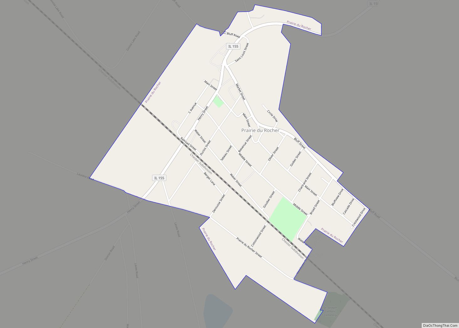
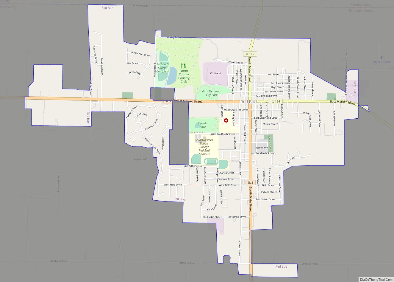
Online Interactive Map
Click on ![]() to view map in "full screen" mode.
to view map in "full screen" mode.
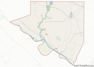
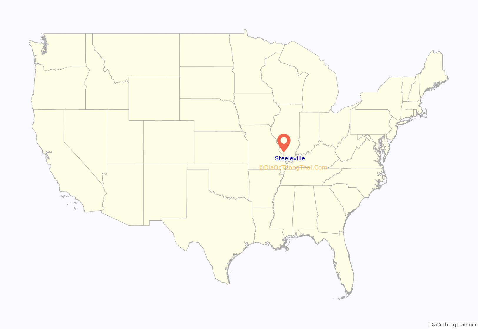
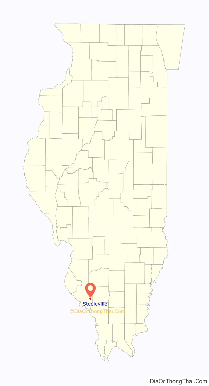
Steeleville location map. Where is Steeleville village?
History
Steeleville had the names Alma, Georgetown and Steele’s Mill before obtaining its present name. The area near Steeleville was first settled by John Steele in 1807. In 1810 George Steele (John’s son) settled in what came to be known as Georgetown. In 1812 a fort was built for protection against the Indians. In 1825 Steele’s Mill was erected. Col. Gabriel Jones had a store. In 1827 the Post Office opened under the name Steele’s Mill. It was not until 1832 that lots were sold in the town by Capt. Rogers, Col. Jones, Dr. Jones, Robert Jones and Tanner Briggs. The Baptist church was organized in 1838 by Rev J B Alcott.
In the early 19th century, the Lusk’s Ferry Road ran through what is now Steeleville. This important, early road connected Fort Kaskaskia with Lusk’s Ferry on the Ohio River. The road headed northeast out of Kaskaskia toward what is now Steeleville to make its crossing of Mary’s River, before heading east and southeast toward Lusk’s Ferry.
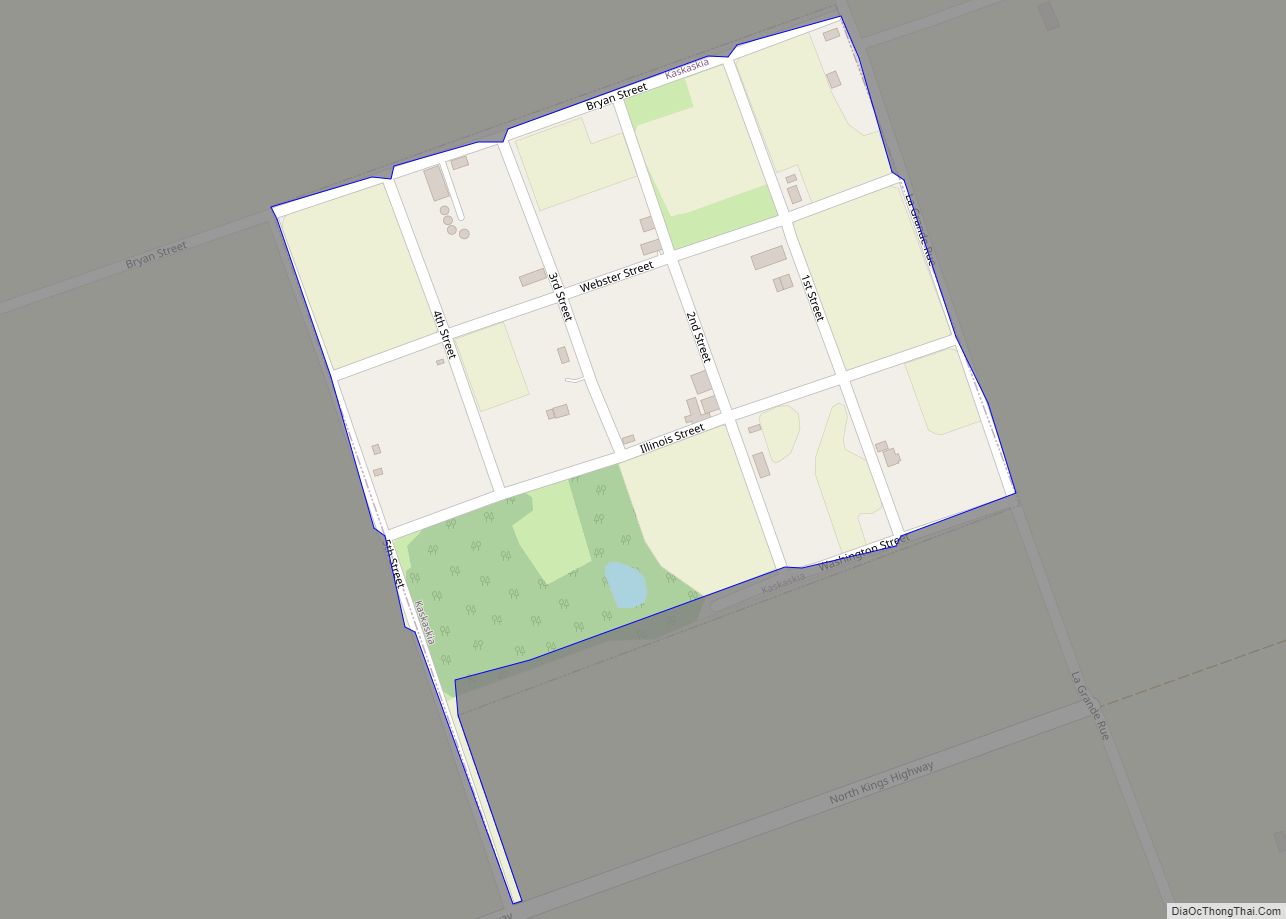
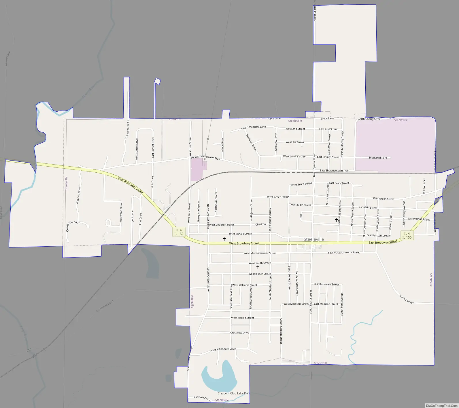
Steeleville Road Map
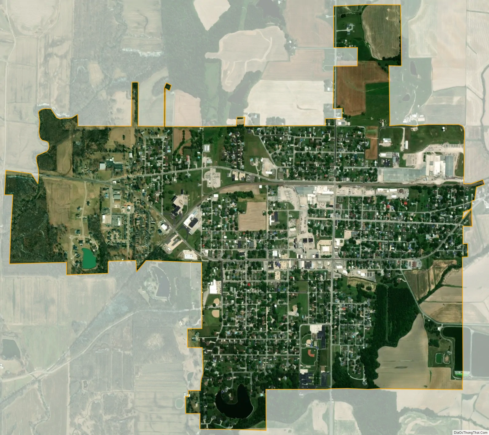
Steeleville city Satellite Map
Geography
According to the 2010 census, Steeleville has a total area of 1.528 square miles (3.96 km), of which 1.52 square miles (3.94 km) (or 99.48%) is land and 0.008 square miles (0.02 km) (or 0.52%) is water. Steeleville is located adjacent to Mary’s River, a direct tributary of the Mississippi River.
See also
Map of Illinois State and its subdivision:- Adams
- Alexander
- Bond
- Boone
- Brown
- Bureau
- Calhoun
- Carroll
- Cass
- Champaign
- Christian
- Clark
- Clay
- Clinton
- Coles
- Cook
- Crawford
- Cumberland
- De Kalb
- De Witt
- Douglas
- Dupage
- Edgar
- Edwards
- Effingham
- Fayette
- Ford
- Franklin
- Fulton
- Gallatin
- Greene
- Grundy
- Hamilton
- Hancock
- Hardin
- Henderson
- Henry
- Iroquois
- Jackson
- Jasper
- Jefferson
- Jersey
- Jo Daviess
- Johnson
- Kane
- Kankakee
- Kendall
- Knox
- La Salle
- Lake
- Lake Michigan
- Lawrence
- Lee
- Livingston
- Logan
- Macon
- Macoupin
- Madison
- Marion
- Marshall
- Mason
- Massac
- McDonough
- McHenry
- McLean
- Menard
- Mercer
- Monroe
- Montgomery
- Morgan
- Moultrie
- Ogle
- Peoria
- Perry
- Piatt
- Pike
- Pope
- Pulaski
- Putnam
- Randolph
- Richland
- Rock Island
- Saint Clair
- Saline
- Sangamon
- Schuyler
- Scott
- Shelby
- Stark
- Stephenson
- Tazewell
- Union
- Vermilion
- Wabash
- Warren
- Washington
- Wayne
- White
- Whiteside
- Will
- Williamson
- Winnebago
- Woodford
- Alabama
- Alaska
- Arizona
- Arkansas
- California
- Colorado
- Connecticut
- Delaware
- District of Columbia
- Florida
- Georgia
- Hawaii
- Idaho
- Illinois
- Indiana
- Iowa
- Kansas
- Kentucky
- Louisiana
- Maine
- Maryland
- Massachusetts
- Michigan
- Minnesota
- Mississippi
- Missouri
- Montana
- Nebraska
- Nevada
- New Hampshire
- New Jersey
- New Mexico
- New York
- North Carolina
- North Dakota
- Ohio
- Oklahoma
- Oregon
- Pennsylvania
- Rhode Island
- South Carolina
- South Dakota
- Tennessee
- Texas
- Utah
- Vermont
- Virginia
- Washington
- West Virginia
- Wisconsin
- Wyoming