Walshville is a small village in Montgomery County, Illinois, United States. The population was 61 at the 2020 census.
| Name: | Walshville village |
|---|---|
| LSAD Code: | 47 |
| LSAD Description: | village (suffix) |
| State: | Illinois |
| County: | Montgomery County |
| Elevation: | 617 ft (188 m) |
| Total Area: | 0.25 sq mi (0.66 km²) |
| Land Area: | 0.25 sq mi (0.66 km²) |
| Water Area: | 0.00 sq mi (0.00 km²) |
| Total Population: | 61 |
| Population Density: | 240.16/sq mi (92.60/km²) |
| ZIP code: | 62091 |
| Area code: | 217 |
| FIPS code: | 1778656 |
| GNISfeature ID: | 2400089 |
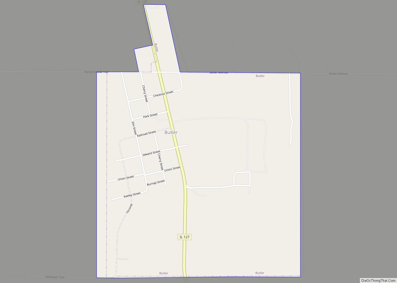
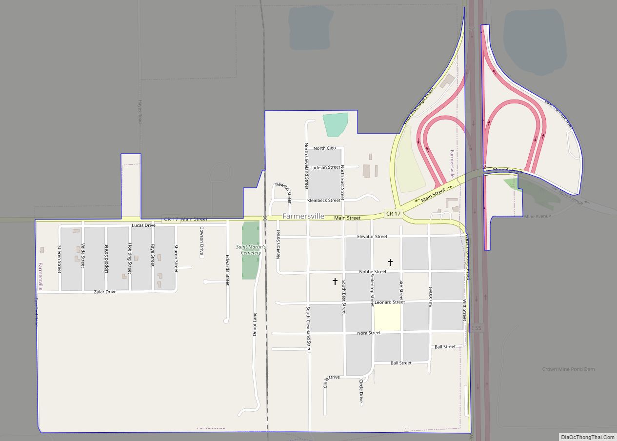
Online Interactive Map
Click on ![]() to view map in "full screen" mode.
to view map in "full screen" mode.
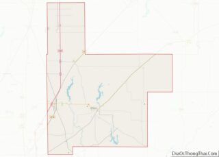
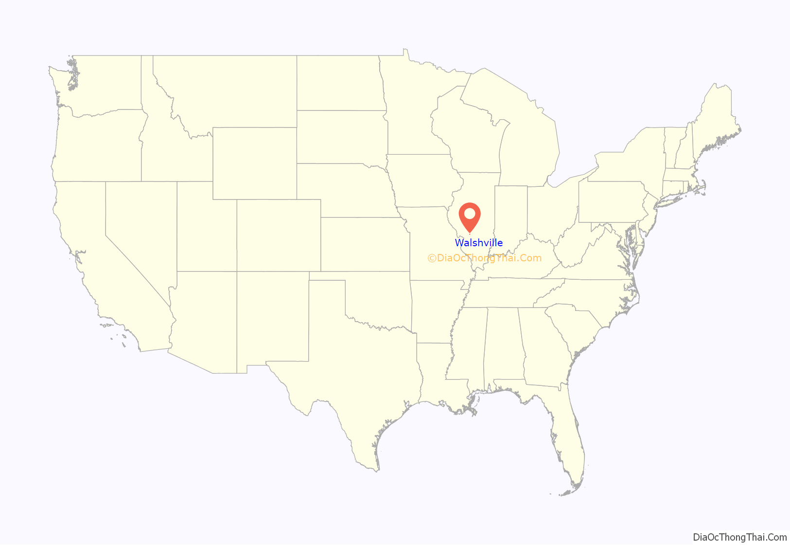
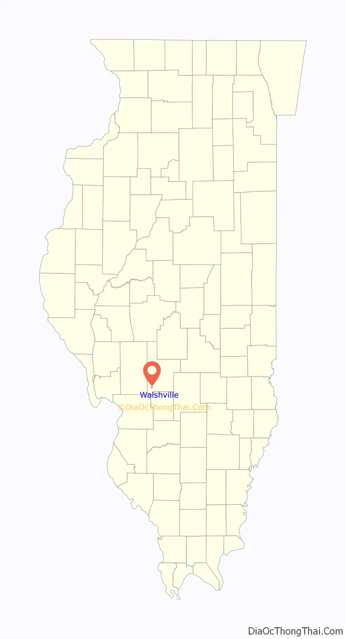
Walshville location map. Where is Walshville village?
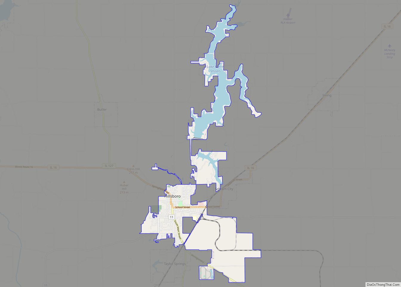
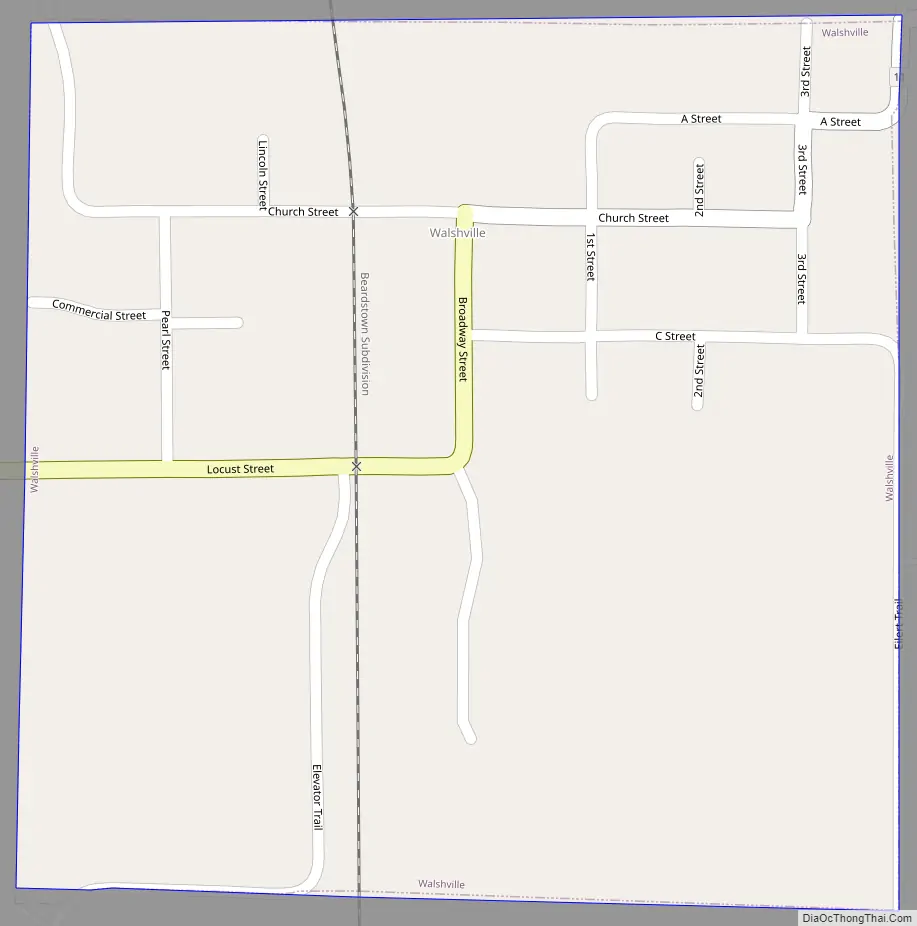
Walshville Road Map
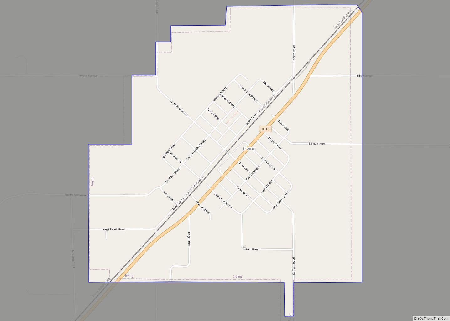
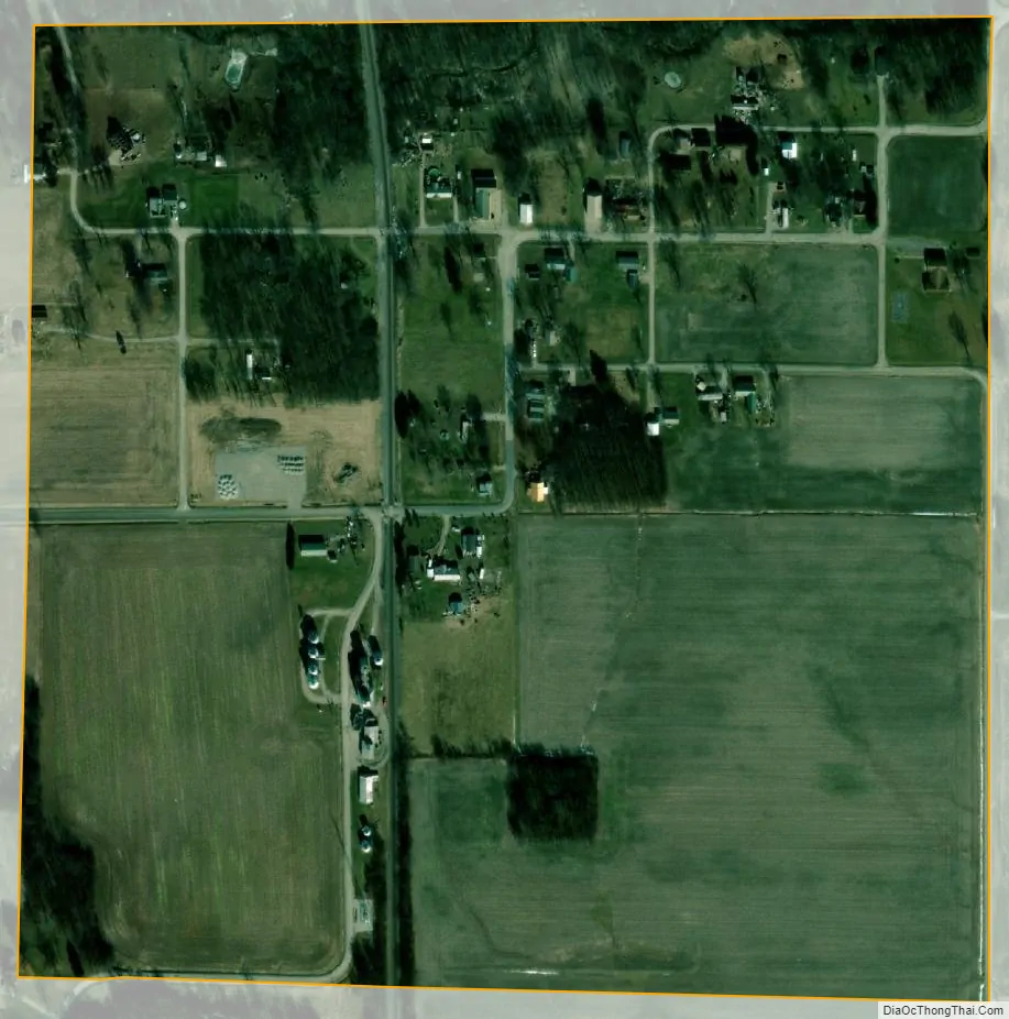
Walshville city Satellite Map
Geography
Walshville is in southwestern Montgomery County, 12 miles (19 km) southwest of Hillsboro, the county seat, 10 miles (16 km) south of Litchfield, and 6 miles (10 km) east of Mount Olive.
According to the U.S. Census Bureau, Walshville has a total area of 0.25 square miles (0.65 km), all land. The village drains east to tributaries of the Lake Fork of Shoal Creek, part of the Kaskaskia River watershed.
See also
Map of Illinois State and its subdivision:- Adams
- Alexander
- Bond
- Boone
- Brown
- Bureau
- Calhoun
- Carroll
- Cass
- Champaign
- Christian
- Clark
- Clay
- Clinton
- Coles
- Cook
- Crawford
- Cumberland
- De Kalb
- De Witt
- Douglas
- Dupage
- Edgar
- Edwards
- Effingham
- Fayette
- Ford
- Franklin
- Fulton
- Gallatin
- Greene
- Grundy
- Hamilton
- Hancock
- Hardin
- Henderson
- Henry
- Iroquois
- Jackson
- Jasper
- Jefferson
- Jersey
- Jo Daviess
- Johnson
- Kane
- Kankakee
- Kendall
- Knox
- La Salle
- Lake
- Lake Michigan
- Lawrence
- Lee
- Livingston
- Logan
- Macon
- Macoupin
- Madison
- Marion
- Marshall
- Mason
- Massac
- McDonough
- McHenry
- McLean
- Menard
- Mercer
- Monroe
- Montgomery
- Morgan
- Moultrie
- Ogle
- Peoria
- Perry
- Piatt
- Pike
- Pope
- Pulaski
- Putnam
- Randolph
- Richland
- Rock Island
- Saint Clair
- Saline
- Sangamon
- Schuyler
- Scott
- Shelby
- Stark
- Stephenson
- Tazewell
- Union
- Vermilion
- Wabash
- Warren
- Washington
- Wayne
- White
- Whiteside
- Will
- Williamson
- Winnebago
- Woodford
- Alabama
- Alaska
- Arizona
- Arkansas
- California
- Colorado
- Connecticut
- Delaware
- District of Columbia
- Florida
- Georgia
- Hawaii
- Idaho
- Illinois
- Indiana
- Iowa
- Kansas
- Kentucky
- Louisiana
- Maine
- Maryland
- Massachusetts
- Michigan
- Minnesota
- Mississippi
- Missouri
- Montana
- Nebraska
- Nevada
- New Hampshire
- New Jersey
- New Mexico
- New York
- North Carolina
- North Dakota
- Ohio
- Oklahoma
- Oregon
- Pennsylvania
- Rhode Island
- South Carolina
- South Dakota
- Tennessee
- Texas
- Utah
- Vermont
- Virginia
- Washington
- West Virginia
- Wisconsin
- Wyoming