Winthrop Harbor is a village in Lake County, Illinois, United States. Winthrop Harbor is considered the corner stone of Illinois. Per the 2020 census, the population was 6,705. It is located along the northern border of Illinois and is part of the Chicago metropolitan area. Winthrop Harbor is known for its North Point Marina, and is a warning demarcation point for the National Weather Service’s marine warnings for Lake Michigan. With moorage over 1,500 boats, it is the largest marina on the Great Lakes. Nearly one million visitors take advantage of the marina, its associated beaches and other recreational facilities every summer.
| Name: | Winthrop Harbor village |
|---|---|
| LSAD Code: | 47 |
| LSAD Description: | village (suffix) |
| State: | Illinois |
| County: | Lake County |
| Total Area: | 4.80 sq mi (12.43 km²) |
| Land Area: | 4.64 sq mi (12.01 km²) |
| Water Area: | 0.16 sq mi (0.42 km²) |
| Total Population: | 6,705 |
| Population Density: | 1,446.29/sq mi (558.36/km²) |
| Area code: | 847/224 |
| FIPS code: | 1782686 |
| Website: | www.winthropharbor.com |
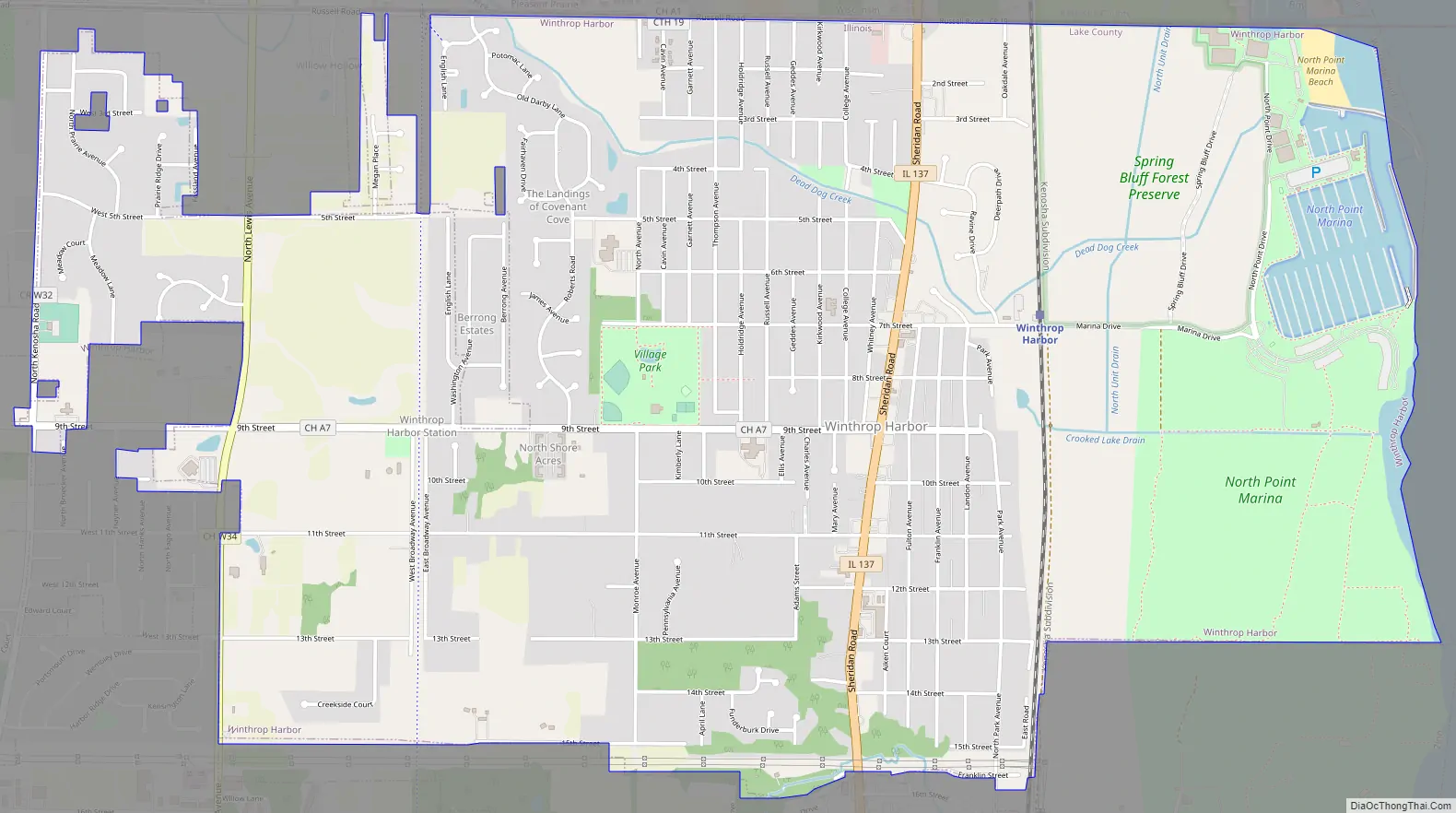
Online Interactive Map
Click on ![]() to view map in "full screen" mode.
to view map in "full screen" mode.
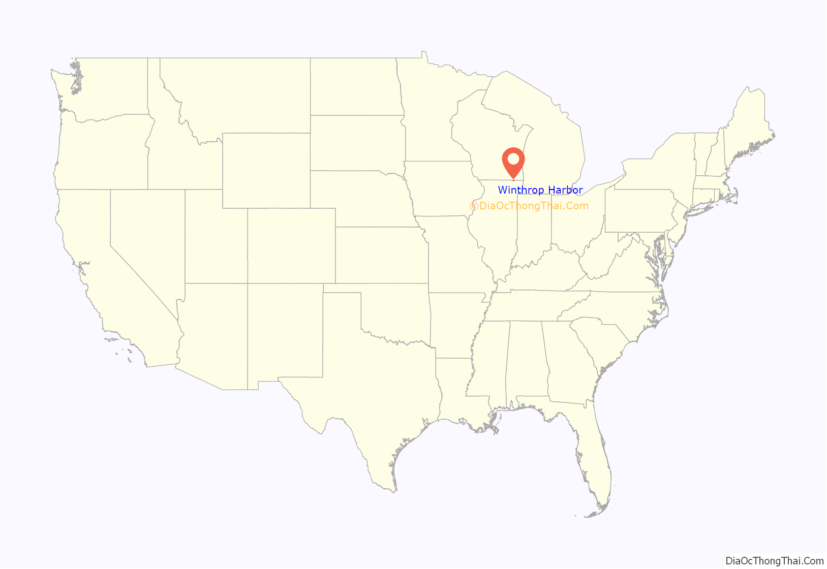
Winthrop Harbor location map. Where is Winthrop Harbor village?
History
Winthrop Harbor was named after Winthrop, Massachusetts.
In 1918, the Saturday Evening Post had an article about the truck manufacturing plant in Winthrop Harbor. At the time, the Winther plant had been in operation for one year.
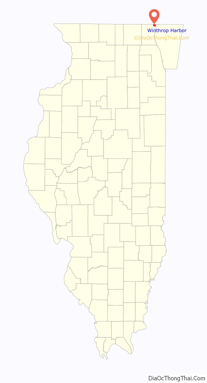
Winthrop Harbor Road Map
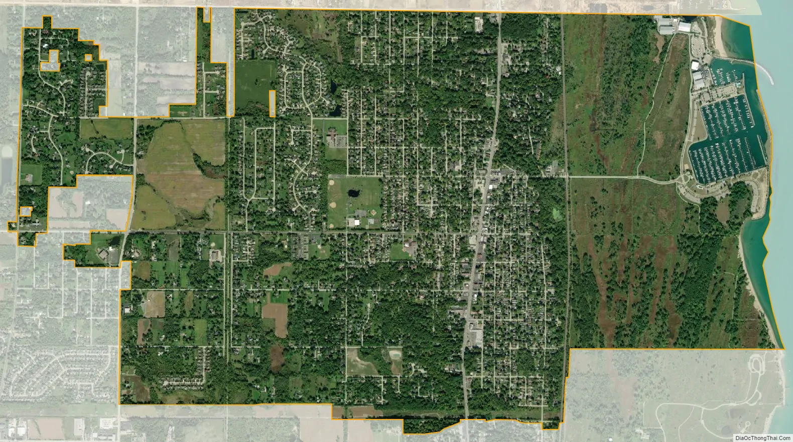
Winthrop Harbor city Satellite Map
Geography
According to the 2010 census, Winthrop Harbor has a total area of 4.761 square miles (12.33 km), of which 4.67 square miles (12.10 km) (or 98.09%) is land and 0.091 square miles (0.24 km) (or 1.91%) is water.
See also
Map of Illinois State and its subdivision:- Adams
- Alexander
- Bond
- Boone
- Brown
- Bureau
- Calhoun
- Carroll
- Cass
- Champaign
- Christian
- Clark
- Clay
- Clinton
- Coles
- Cook
- Crawford
- Cumberland
- De Kalb
- De Witt
- Douglas
- Dupage
- Edgar
- Edwards
- Effingham
- Fayette
- Ford
- Franklin
- Fulton
- Gallatin
- Greene
- Grundy
- Hamilton
- Hancock
- Hardin
- Henderson
- Henry
- Iroquois
- Jackson
- Jasper
- Jefferson
- Jersey
- Jo Daviess
- Johnson
- Kane
- Kankakee
- Kendall
- Knox
- La Salle
- Lake
- Lake Michigan
- Lawrence
- Lee
- Livingston
- Logan
- Macon
- Macoupin
- Madison
- Marion
- Marshall
- Mason
- Massac
- McDonough
- McHenry
- McLean
- Menard
- Mercer
- Monroe
- Montgomery
- Morgan
- Moultrie
- Ogle
- Peoria
- Perry
- Piatt
- Pike
- Pope
- Pulaski
- Putnam
- Randolph
- Richland
- Rock Island
- Saint Clair
- Saline
- Sangamon
- Schuyler
- Scott
- Shelby
- Stark
- Stephenson
- Tazewell
- Union
- Vermilion
- Wabash
- Warren
- Washington
- Wayne
- White
- Whiteside
- Will
- Williamson
- Winnebago
- Woodford
- Alabama
- Alaska
- Arizona
- Arkansas
- California
- Colorado
- Connecticut
- Delaware
- District of Columbia
- Florida
- Georgia
- Hawaii
- Idaho
- Illinois
- Indiana
- Iowa
- Kansas
- Kentucky
- Louisiana
- Maine
- Maryland
- Massachusetts
- Michigan
- Minnesota
- Mississippi
- Missouri
- Montana
- Nebraska
- Nevada
- New Hampshire
- New Jersey
- New Mexico
- New York
- North Carolina
- North Dakota
- Ohio
- Oklahoma
- Oregon
- Pennsylvania
- Rhode Island
- South Carolina
- South Dakota
- Tennessee
- Texas
- Utah
- Vermont
- Virginia
- Washington
- West Virginia
- Wisconsin
- Wyoming


