Woodridge is a village in DuPage County, Illinois, with small portions in Will and Cook counties, and a southwestern suburb of Chicago. Per the 2020 census, the population was 34,158.
The village is just north of the I-55 junction with IL-53. It uses the 630 and 331 area codes. Woodridge is the home of the Home Run Inn pizzeria chain and was the home of Pabst Brewing Company from 2006 to 2011.
Woodridge was incorporated on August 24, 1959, with less than 500 residents. It is named for its location in a wooded area above a steep hillside, locally known as “The Ridge,” which overlooks the DuPage River’s East Branch and the Des Plaines Valley. Woodridge is a young community with the vast majority of its homes, businesses, and churches constructed after the 1950s. Woodridge was founded by a housing developer, Albert Kaufman, who was largely responsible for the creation of the village.
In July 2007, Woodridge was ranked No. 61 on Money magazine’s “100 Best Places to Live”.
| Name: | Woodridge village |
|---|---|
| LSAD Code: | 47 |
| LSAD Description: | village (suffix) |
| State: | Illinois |
| County: | Cook County, DuPage County, Will County |
| Total Area: | 9.79 sq mi (25.36 km²) |
| Land Area: | 9.63 sq mi (24.94 km²) |
| Water Area: | 0.16 sq mi (0.41 km²) |
| Total Population: | 34,158 |
| Population Density: | 3,546.67/sq mi (1,369.37/km²) |
| Area code: | 630 and 331 |
| FIPS code: | 1783245 |
| Website: | www.vil.woodridge.il.us |
Online Interactive Map
Click on ![]() to view map in "full screen" mode.
to view map in "full screen" mode.
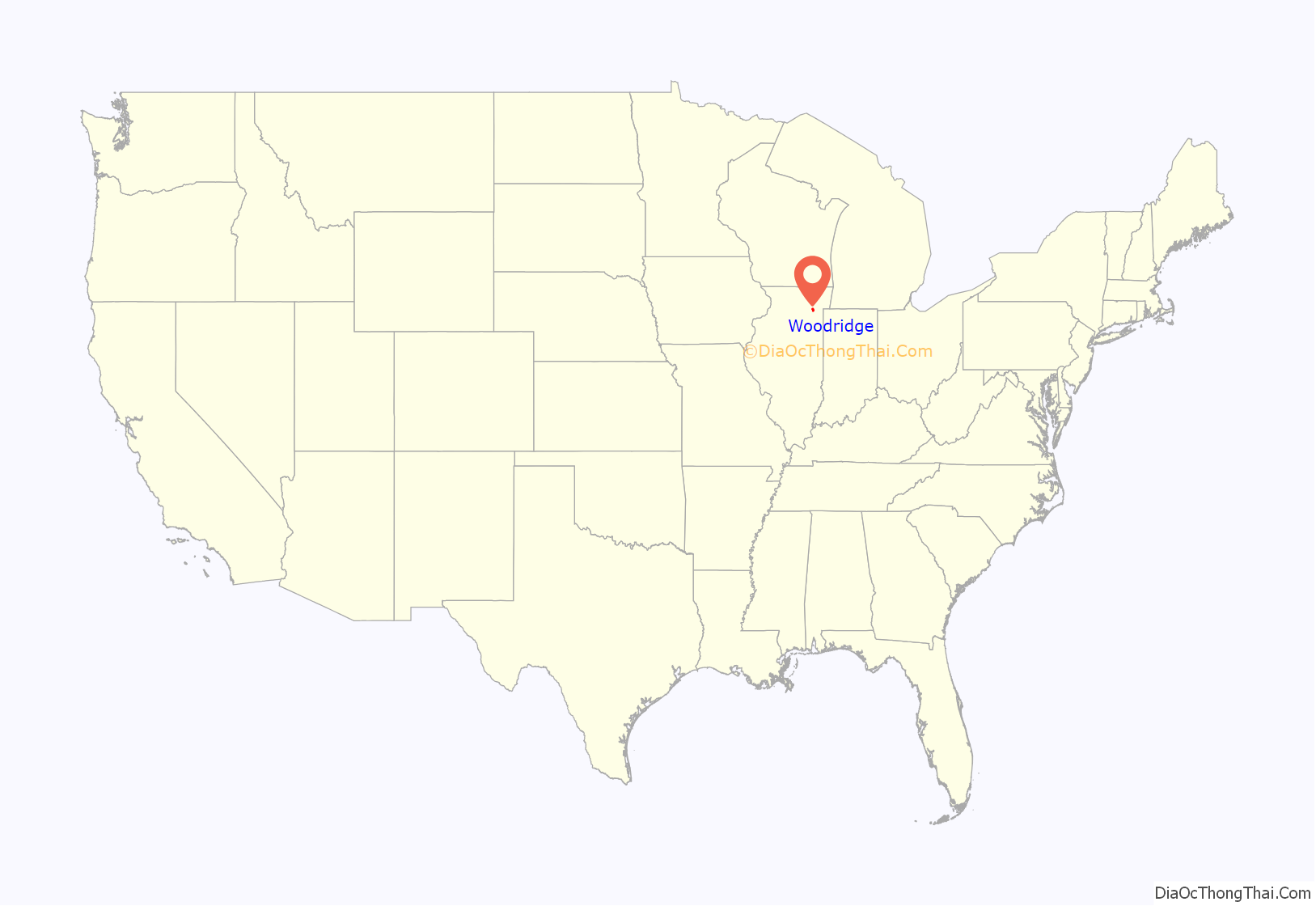
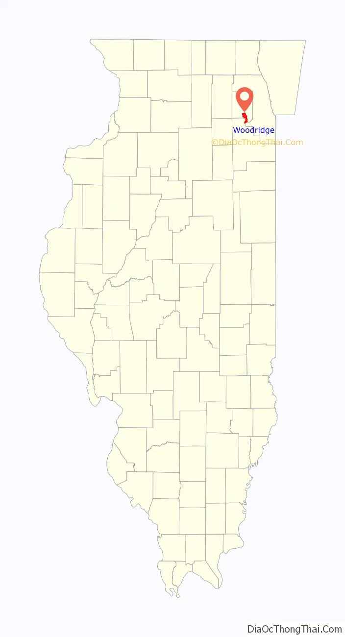
Woodridge location map. Where is Woodridge village?
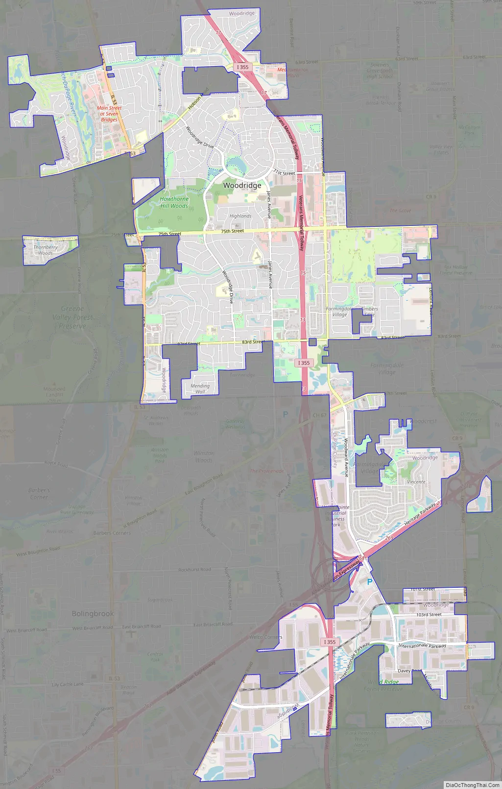
Woodridge Road Map
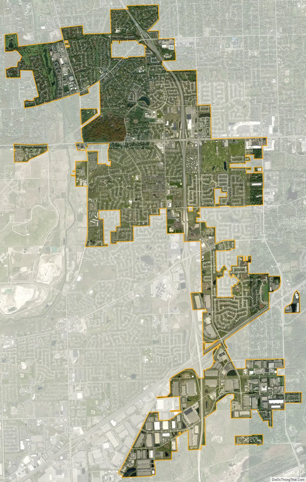
Woodridge city Satellite Map
Geography
Woodridge is located at 41°44′40″N 88°2′38″W / 41.74444°N 88.04389°W / 41.74444; -88.04389 (41.744582, −88.043869).
According to the 2021 census gazetteer files, Woodridge has a total area of 9.79 square miles (25.36 km), of which 9.63 square miles (24.94 km) (or 98.37%) is land and 0.16 square miles (0.41 km) (or 1.63%) is water.
Woodridge is bordered by Naperville to the west, Downers Grove to the northeast, Darien to the east, Lemont to the south, Bolingbrook to the southwest, and Lisle to the northwest.
See also
Map of Illinois State and its subdivision:- Adams
- Alexander
- Bond
- Boone
- Brown
- Bureau
- Calhoun
- Carroll
- Cass
- Champaign
- Christian
- Clark
- Clay
- Clinton
- Coles
- Cook
- Crawford
- Cumberland
- De Kalb
- De Witt
- Douglas
- Dupage
- Edgar
- Edwards
- Effingham
- Fayette
- Ford
- Franklin
- Fulton
- Gallatin
- Greene
- Grundy
- Hamilton
- Hancock
- Hardin
- Henderson
- Henry
- Iroquois
- Jackson
- Jasper
- Jefferson
- Jersey
- Jo Daviess
- Johnson
- Kane
- Kankakee
- Kendall
- Knox
- La Salle
- Lake
- Lake Michigan
- Lawrence
- Lee
- Livingston
- Logan
- Macon
- Macoupin
- Madison
- Marion
- Marshall
- Mason
- Massac
- McDonough
- McHenry
- McLean
- Menard
- Mercer
- Monroe
- Montgomery
- Morgan
- Moultrie
- Ogle
- Peoria
- Perry
- Piatt
- Pike
- Pope
- Pulaski
- Putnam
- Randolph
- Richland
- Rock Island
- Saint Clair
- Saline
- Sangamon
- Schuyler
- Scott
- Shelby
- Stark
- Stephenson
- Tazewell
- Union
- Vermilion
- Wabash
- Warren
- Washington
- Wayne
- White
- Whiteside
- Will
- Williamson
- Winnebago
- Woodford
- Alabama
- Alaska
- Arizona
- Arkansas
- California
- Colorado
- Connecticut
- Delaware
- District of Columbia
- Florida
- Georgia
- Hawaii
- Idaho
- Illinois
- Indiana
- Iowa
- Kansas
- Kentucky
- Louisiana
- Maine
- Maryland
- Massachusetts
- Michigan
- Minnesota
- Mississippi
- Missouri
- Montana
- Nebraska
- Nevada
- New Hampshire
- New Jersey
- New Mexico
- New York
- North Carolina
- North Dakota
- Ohio
- Oklahoma
- Oregon
- Pennsylvania
- Rhode Island
- South Carolina
- South Dakota
- Tennessee
- Texas
- Utah
- Vermont
- Virginia
- Washington
- West Virginia
- Wisconsin
- Wyoming


