Xenia (/ˈziːniə/ ZEE-nee-ə) is a village in Clay County, Illinois, United States. The population was 380 at the 2020 census.
| Name: | Xenia village |
|---|---|
| LSAD Code: | 47 |
| LSAD Description: | village (suffix) |
| State: | Illinois |
| County: | Clay County |
| Elevation: | 538 ft (164 m) |
| Total Area: | 0.49 sq mi (1.28 km²) |
| Land Area: | 0.49 sq mi (1.28 km²) |
| Water Area: | 0.00 sq mi (0.00 km²) |
| Total Population: | 380 |
| Population Density: | 770.79/sq mi (297.52/km²) |
| Area code: | 618 |
| FIPS code: | 1783739 |
Online Interactive Map
Click on ![]() to view map in "full screen" mode.
to view map in "full screen" mode.
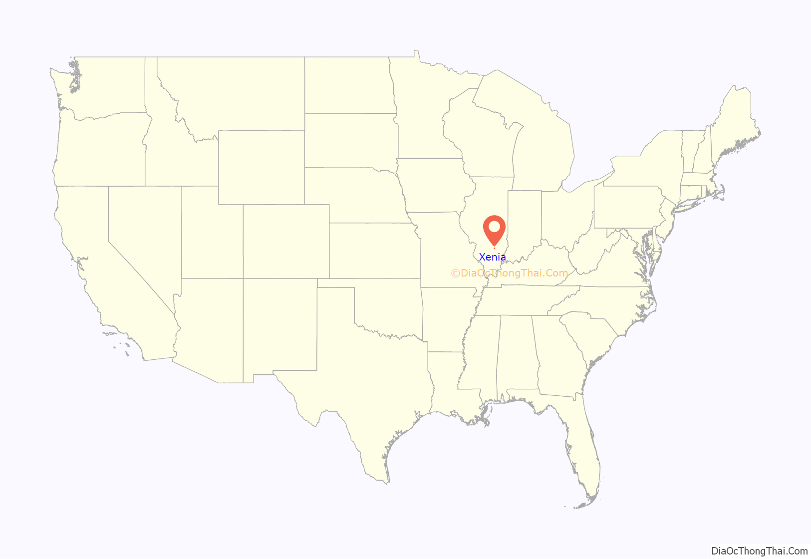
Xenia location map. Where is Xenia village?
History
The hunting camps of Kiffcart and Retherford were located in the southwest corner of Section 4. The buffalo trail was very wide in this area; therefore, Lewis located in the northwest quarter of Section 3. Lewis remained there until 1830 when he sold his property to Dr. Davenport. A post office was established at the Davenport home with the help of John Pierce and John Gowdy, establishing the town of Xenia. The building of the railroad in 1854 expanded the town, and by 1870 the population had increased to 1,000. A sesquicentennial celebration was held in 1984.
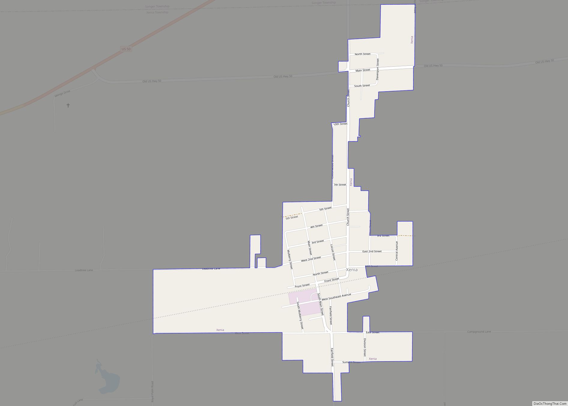
Xenia Road Map
Xenia city Satellite Map
Geography
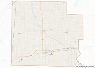
Xenia is located in southwestern Clay County at 38°38′15″N 88°38′15″W / 38.63750°N 88.63750°W / 38.63750; -88.63750 (38.6373694, -88.6374130). U.S. Route 50 passes to the north of the village, leading east 9 miles (14 km) to Flora and west 17 miles (27 km) to Salem.
According to the 2021 census gazetteer files, Xenia has a total area of 0.49 square miles (1.27 km), all land.
See also
Map of Illinois State and its subdivision:- Adams
- Alexander
- Bond
- Boone
- Brown
- Bureau
- Calhoun
- Carroll
- Cass
- Champaign
- Christian
- Clark
- Clay
- Clinton
- Coles
- Cook
- Crawford
- Cumberland
- De Kalb
- De Witt
- Douglas
- Dupage
- Edgar
- Edwards
- Effingham
- Fayette
- Ford
- Franklin
- Fulton
- Gallatin
- Greene
- Grundy
- Hamilton
- Hancock
- Hardin
- Henderson
- Henry
- Iroquois
- Jackson
- Jasper
- Jefferson
- Jersey
- Jo Daviess
- Johnson
- Kane
- Kankakee
- Kendall
- Knox
- La Salle
- Lake
- Lake Michigan
- Lawrence
- Lee
- Livingston
- Logan
- Macon
- Macoupin
- Madison
- Marion
- Marshall
- Mason
- Massac
- McDonough
- McHenry
- McLean
- Menard
- Mercer
- Monroe
- Montgomery
- Morgan
- Moultrie
- Ogle
- Peoria
- Perry
- Piatt
- Pike
- Pope
- Pulaski
- Putnam
- Randolph
- Richland
- Rock Island
- Saint Clair
- Saline
- Sangamon
- Schuyler
- Scott
- Shelby
- Stark
- Stephenson
- Tazewell
- Union
- Vermilion
- Wabash
- Warren
- Washington
- Wayne
- White
- Whiteside
- Will
- Williamson
- Winnebago
- Woodford
- Alabama
- Alaska
- Arizona
- Arkansas
- California
- Colorado
- Connecticut
- Delaware
- District of Columbia
- Florida
- Georgia
- Hawaii
- Idaho
- Illinois
- Indiana
- Iowa
- Kansas
- Kentucky
- Louisiana
- Maine
- Maryland
- Massachusetts
- Michigan
- Minnesota
- Mississippi
- Missouri
- Montana
- Nebraska
- Nevada
- New Hampshire
- New Jersey
- New Mexico
- New York
- North Carolina
- North Dakota
- Ohio
- Oklahoma
- Oregon
- Pennsylvania
- Rhode Island
- South Carolina
- South Dakota
- Tennessee
- Texas
- Utah
- Vermont
- Virginia
- Washington
- West Virginia
- Wisconsin
- Wyoming
