Wayland is a home rule-class city in Floyd County, Kentucky, United States. The population was 426 at the 2010 census, up from 298 at the 2000 census.
| Name: | Wayland city |
|---|---|
| LSAD Code: | 25 |
| LSAD Description: | city (suffix) |
| State: | Kentucky |
| County: | Floyd County |
| Incorporated: | 1923 |
| Elevation: | 722 ft (220 m) |
| Total Area: | 2.71 sq mi (7.02 km²) |
| Land Area: | 2.71 sq mi (7.01 km²) |
| Water Area: | 0.00 sq mi (0.00 km²) |
| Total Population: | 389 |
| Population Density: | 143.65/sq mi (55.45/km²) |
| ZIP code: | 41666 |
| Area code: | 606 |
| FIPS code: | 2181012 |
| GNISfeature ID: | 0506308 |
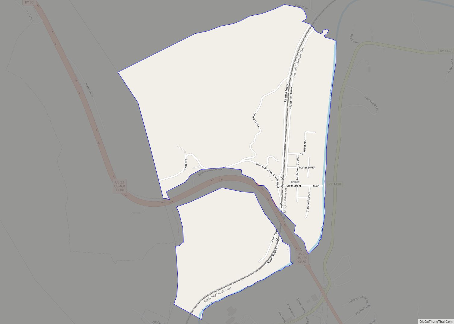
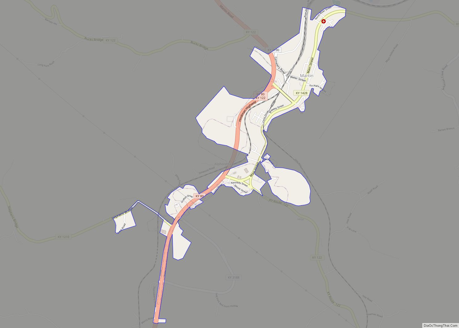
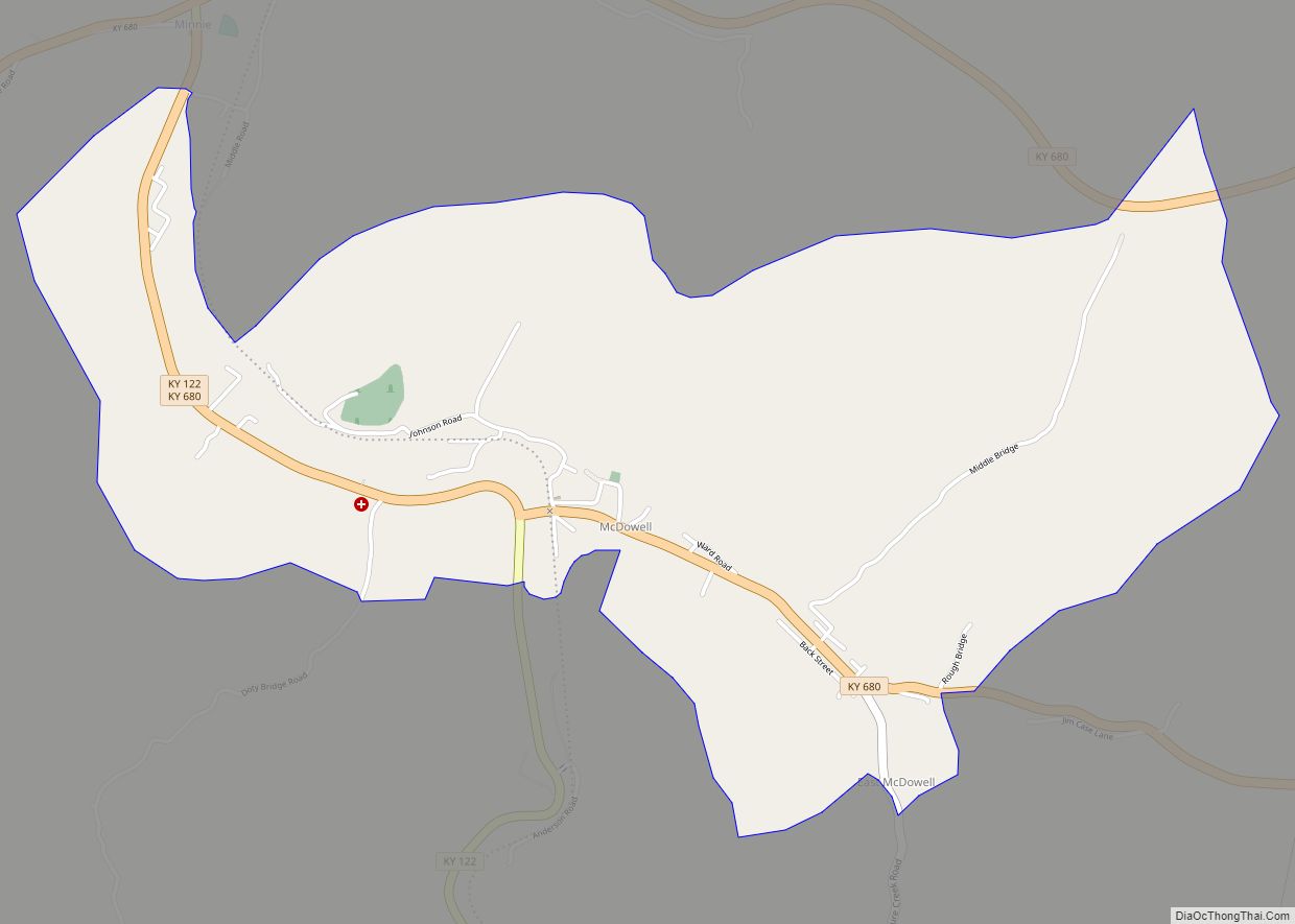
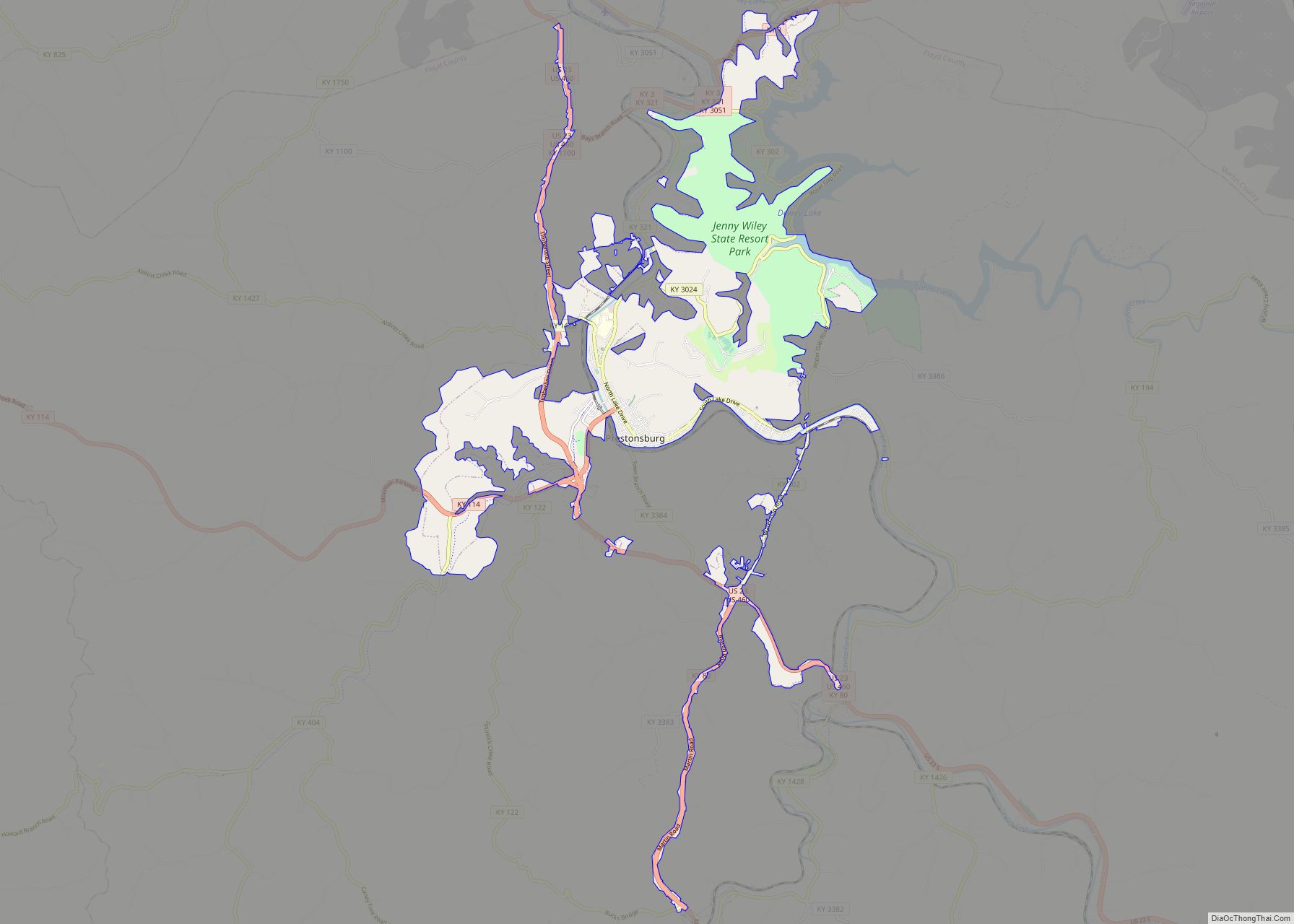
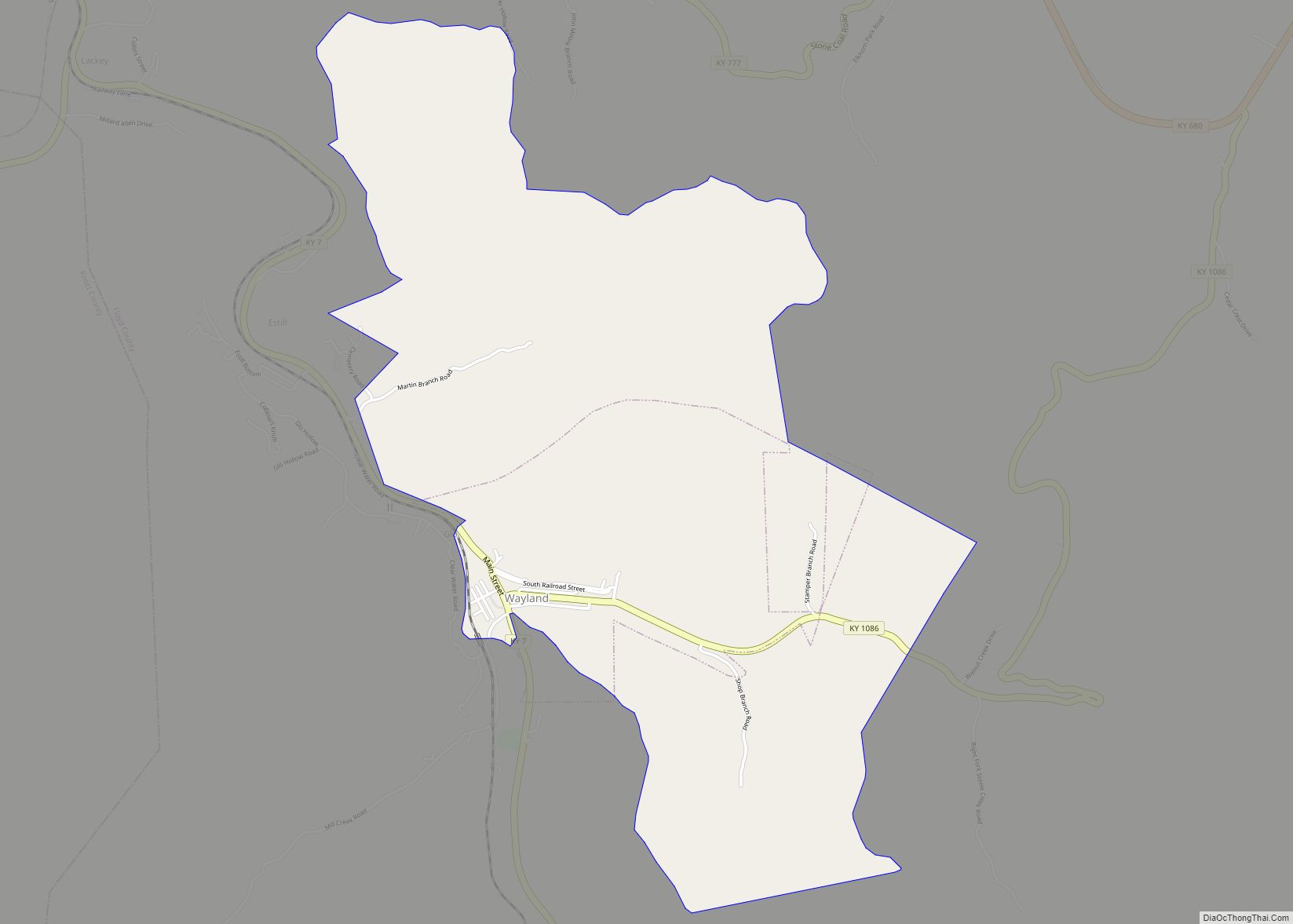
Online Interactive Map
Click on ![]() to view map in "full screen" mode.
to view map in "full screen" mode.
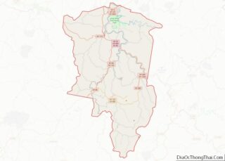
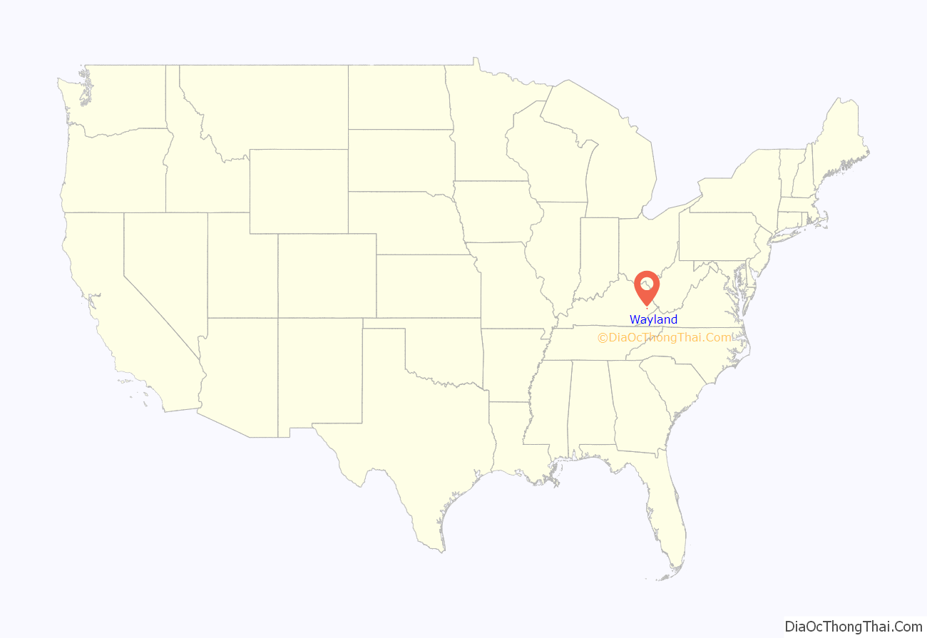
Wayland location map. Where is Wayland city?

History
In 1911, the Elk Horn Coal Company established a coal camp at the confluence of Steele Creek and the Right Fork of Beaver Creek. This place had been known as “Martin’s Mill” since before the start of the Civil War, due to Rev. “Old” John Martin’s Grist Mill, which was located on Mill Creek. During the Civil War, after the Battle of Middle Creek, Confederate General Humphrey Marshall and his forces camped there at the mill, while on their way back to Virginia. During the period of 1911 to 1914 the coal camp was called different names, including “Camp Steele Creek” and “Watson Town.” They later named this place Wayland, after Clarence Wayland Watson, the president of the company. In April of 1914 the railroad arrived, and on May 18, the town post office was established. The coal camp’s construction wasn’t completed until the early 1920s. Wayland was incorporated as a sixth-class city in 1923.
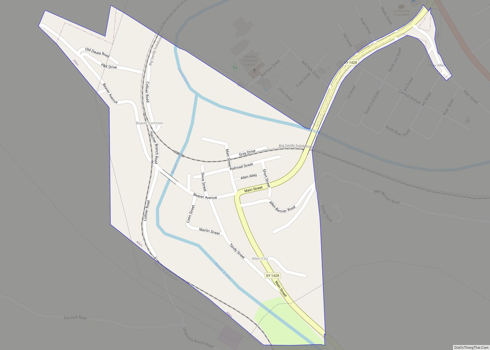
Wayland Road Map
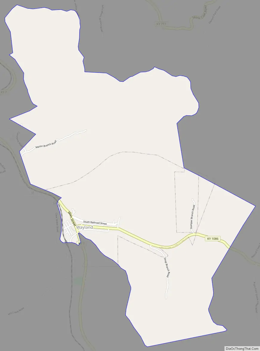
Wayland city Satellite Map

Geography
Wayland is located in southwestern Floyd County at 37°26′43″N 82°48′4″W / 37.44528°N 82.80111°W / 37.44528; -82.80111 (37.445289, -82.801131), in the valleys of the Right Fork Beaver Creek and its tributary, Steele Creek. Kentucky Route 7 passes through the city, leading north (downstream along the Right Fork) 3.5 miles (5.6 km) to Garrett and south (upstream) 9 miles (14 km) to Topmost.
According to the United States Census Bureau, the city has a total area of 2.6 square miles (6.8 km), all land.
See also
Map of Kentucky State and its subdivision:- Adair
- Allen
- Anderson
- Ballard
- Barren
- Bath
- Bell
- Boone
- Bourbon
- Boyd
- Boyle
- Bracken
- Breathitt
- Breckinridge
- Bullitt
- Butler
- Caldwell
- Calloway
- Campbell
- Carlisle
- Carroll
- Carter
- Casey
- Christian
- Clark
- Clay
- Clinton
- Crittenden
- Cumberland
- Daviess
- Edmonson
- Elliott
- Estill
- Fayette
- Fleming
- Floyd
- Franklin
- Fulton
- Gallatin
- Garrard
- Grant
- Graves
- Grayson
- Green
- Greenup
- Hancock
- Hardin
- Harlan
- Harrison
- Hart
- Henderson
- Henry
- Hickman
- Hopkins
- Jackson
- Jefferson
- Jessamine
- Johnson
- Kenton
- Knott
- Knox
- Larue
- Laurel
- Lawrence
- Lee
- Leslie
- Letcher
- Lewis
- Lincoln
- Livingston
- Logan
- Lyon
- Madison
- Magoffin
- Marion
- Marshall
- Martin
- Mason
- McCracken
- McCreary
- McLean
- Meade
- Menifee
- Mercer
- Metcalfe
- Monroe
- Montgomery
- Morgan
- Muhlenberg
- Nelson
- Nicholas
- Ohio
- Oldham
- Owen
- Owsley
- Pendleton
- Perry
- Pike
- Powell
- Pulaski
- Robertson
- Rockcastle
- Rowan
- Russell
- Scott
- Shelby
- Simpson
- Spencer
- Taylor
- Todd
- Trigg
- Trimble
- Union
- Warren
- Washington
- Wayne
- Webster
- Whitley
- Wolfe
- Woodford
- Alabama
- Alaska
- Arizona
- Arkansas
- California
- Colorado
- Connecticut
- Delaware
- District of Columbia
- Florida
- Georgia
- Hawaii
- Idaho
- Illinois
- Indiana
- Iowa
- Kansas
- Kentucky
- Louisiana
- Maine
- Maryland
- Massachusetts
- Michigan
- Minnesota
- Mississippi
- Missouri
- Montana
- Nebraska
- Nevada
- New Hampshire
- New Jersey
- New Mexico
- New York
- North Carolina
- North Dakota
- Ohio
- Oklahoma
- Oregon
- Pennsylvania
- Rhode Island
- South Carolina
- South Dakota
- Tennessee
- Texas
- Utah
- Vermont
- Virginia
- Washington
- West Virginia
- Wisconsin
- Wyoming