Algonac is a city in St. Clair County of the U.S. state of Michigan. The population was 4,196 at the 2020 census.
Algonac is located at the southern end of the St. Clair River, just before it splits into a large delta region known as the St. Clair Flats. (Coordinates 42°36′N 82°34′W / 42.6°N 82.56°W / 42.6; -82.56) The St. Clair River drains Lake Huron into Lake St. Clair and is part of the Great Lakes Waterway.
At the center of Algonac is Algonac City Park, a park which contains a half-mile long boardwalk along the St. Clair River. Just to the north of the city is Algonac State Park.
Algonac was the birthplace of Emily Helen Butterfield, an artist and the first woman to be licensed as an architect in Michigan. She was famous for innovations in church architecture. It was the home of the now-defunct Chris-Craft boat company, the maker of the first mass-produced speedboats. It was also the home of Gar Wood, the first great speed boat racer.
Algonac is home to two museums dedicated to its history. The Algonac Clay Community Museum contains many displays of Algonac’s local history. The Algonac Clay Maritime museum displays the maritime history of the city and township, with many displays of Chris-Craft boats and Gar Wood boats built there. Both museums are open every weekend from May through October. Algonac is known as the birthplace of modern power boating.
| Name: | Algonac city |
|---|---|
| LSAD Code: | 25 |
| LSAD Description: | city (suffix) |
| State: | Michigan |
| County: | St. Clair County |
| Elevation: | 581 ft (177 m) |
| Total Area: | 1.73 sq mi (4.47 km²) |
| Land Area: | 1.42 sq mi (3.68 km²) |
| Water Area: | 0.31 sq mi (0.79 km²) |
| Total Population: | 4,196 |
| Population Density: | 2,957.01/sq mi (1,141.66/km²) |
| Area code: | 810 |
| FIPS code: | 2601180 |
| GNISfeature ID: | 1624342 |
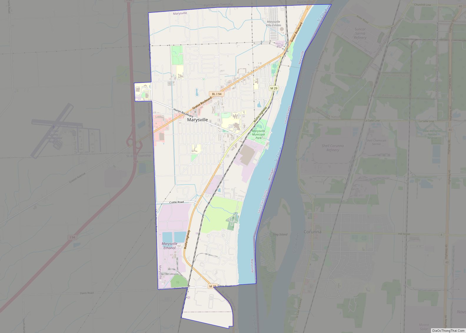
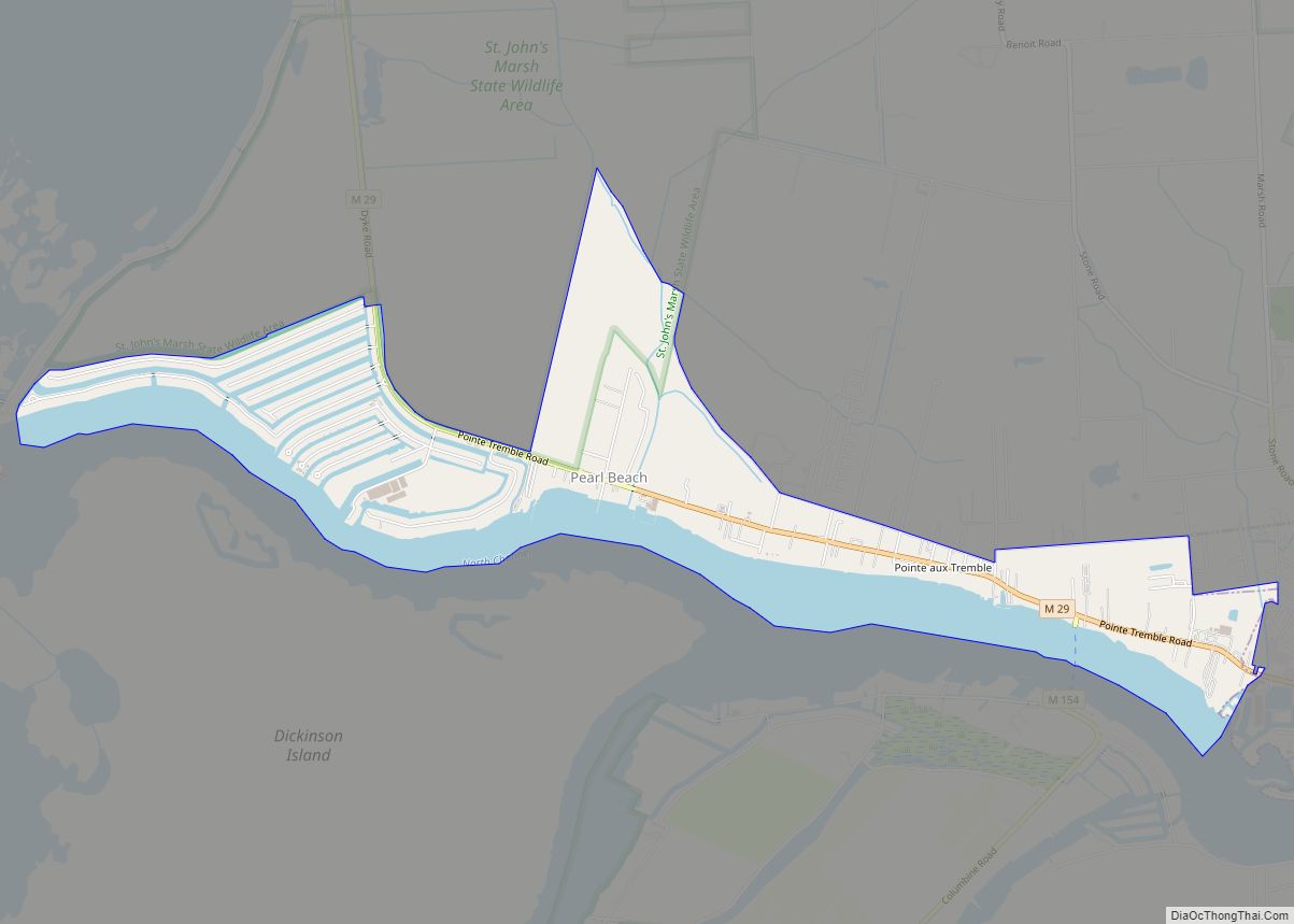
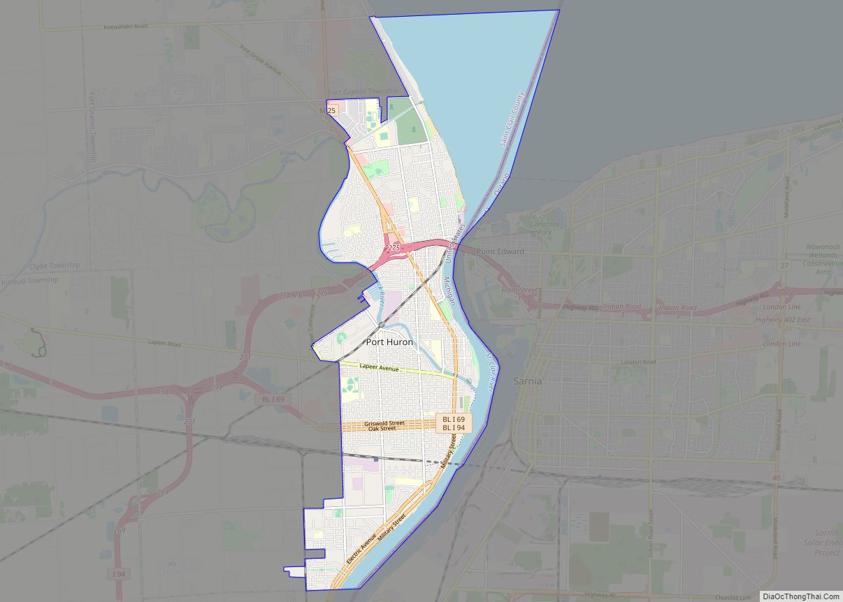
Online Interactive Map
Click on ![]() to view map in "full screen" mode.
to view map in "full screen" mode.
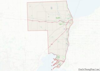
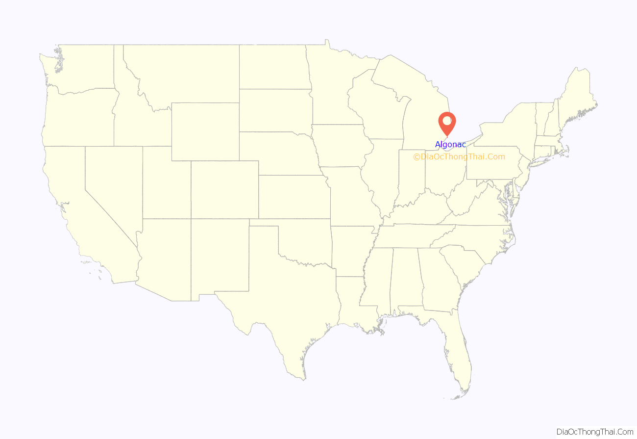
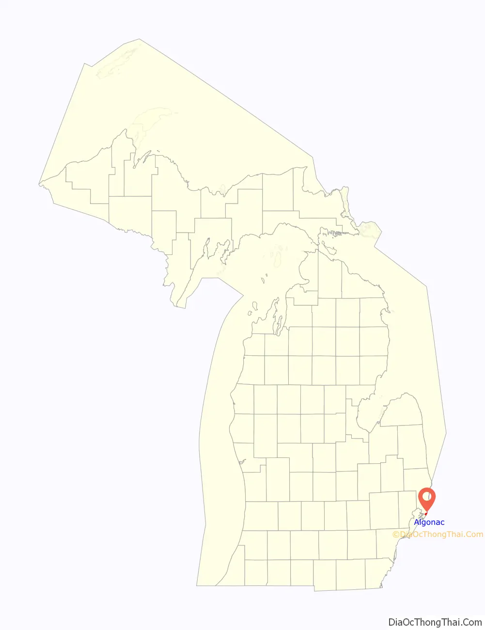
Algonac location map. Where is Algonac city?
History
Long occupied by Native American tribes, Algonac was settled in 1805 by European American John Martin, in the newly-organized Michigan Territory. The area had been known by French colonists, the first Europeans to settle here, as Pointe Du Chêne (“oak point”, because of local trees). The later British colonists called it Manchester. In 1836, it was the fourth village laid out by Americans along the St. Clair River. Its present name was coined by Henry Schoolcraft and applied to the area in 1843.
Most settlement did not occur until the mid-19th century and later. In 1863, the small community was described as containing “a church, two or three saw-mills, a grist-mill, woollen factory, and about 700 inhabitants”. It served as the center of a farming area. The economy was also based in lumbering, shipping, and trades associated with maritime activities on the Great Lakes.
The village of Algonac was within Clay Township, although the two municipalities are administered autonomously since Algonac incorporated as a city in 1967.
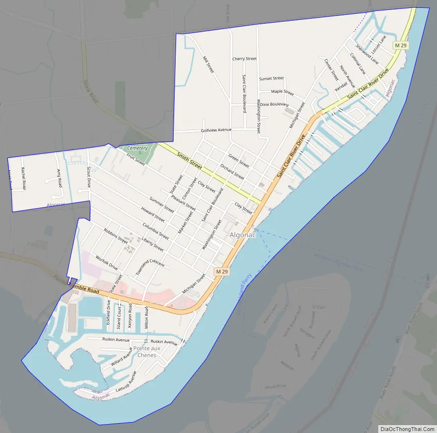
Algonac Road Map
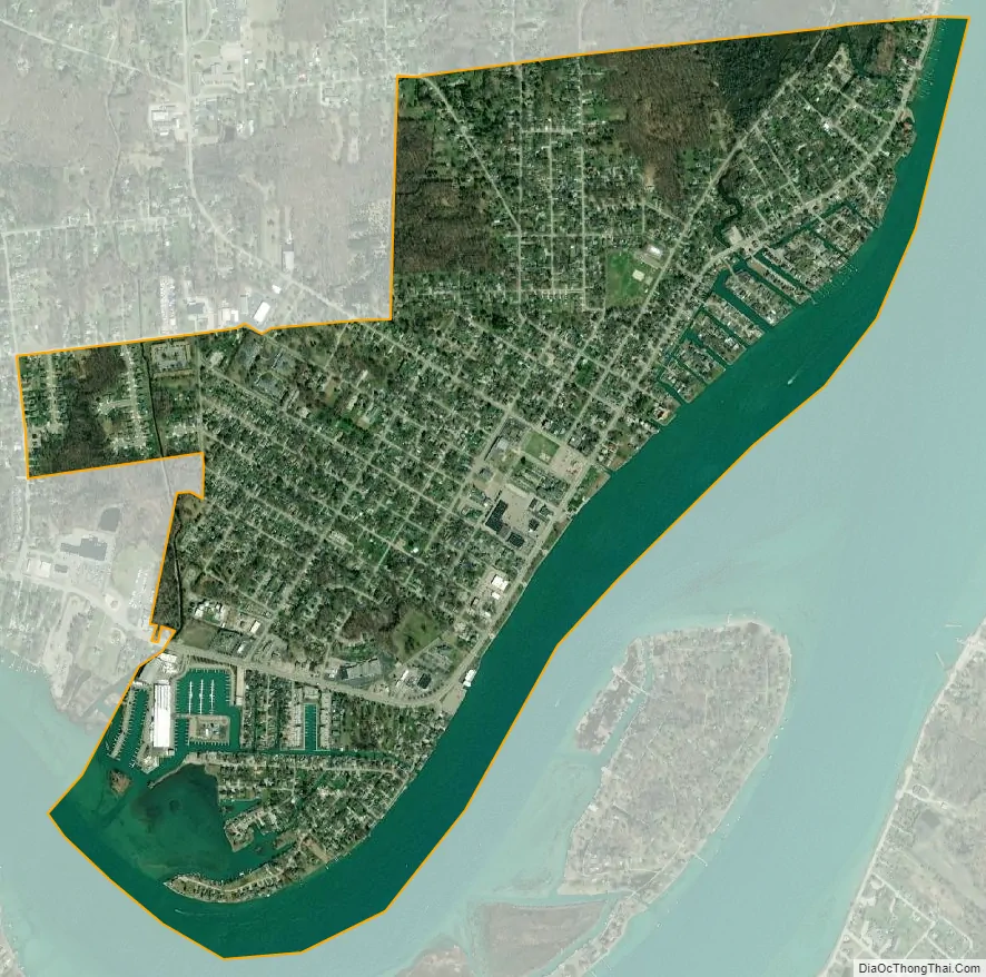
Algonac city Satellite Map
Geography
According to the United States Census Bureau, the city has a total area of 1.44 square miles (3.73 km), of which 1.43 square miles (3.70 km) is land and 0.01 square miles (0.03 km) is water.
Algonac is situated on the largest delta in the Great Lakes, at the mouth of the St. Clair River. As the city has many canals, it has been nicknamed “the Venice of Michigan”. The city is located in the Blue Water Area, a sub-region of the Thumb.
See also
Map of Michigan State and its subdivision:- Alcona
- Alger
- Allegan
- Alpena
- Antrim
- Arenac
- Baraga
- Barry
- Bay
- Benzie
- Berrien
- Branch
- Calhoun
- Cass
- Charlevoix
- Cheboygan
- Chippewa
- Clare
- Clinton
- Crawford
- Delta
- Dickinson
- Eaton
- Emmet
- Genesee
- Gladwin
- Gogebic
- Grand Traverse
- Gratiot
- Hillsdale
- Houghton
- Huron
- Ingham
- Ionia
- Iosco
- Iron
- Isabella
- Jackson
- Kalamazoo
- Kalkaska
- Kent
- Keweenaw
- Lake
- Lake Hurron
- Lake Michigan
- Lake St. Clair
- Lake Superior
- Lapeer
- Leelanau
- Lenawee
- Livingston
- Luce
- Mackinac
- Macomb
- Manistee
- Marquette
- Mason
- Mecosta
- Menominee
- Midland
- Missaukee
- Monroe
- Montcalm
- Montmorency
- Muskegon
- Newaygo
- Oakland
- Oceana
- Ogemaw
- Ontonagon
- Osceola
- Oscoda
- Otsego
- Ottawa
- Presque Isle
- Roscommon
- Saginaw
- Saint Clair
- Saint Joseph
- Sanilac
- Schoolcraft
- Shiawassee
- Tuscola
- Van Buren
- Washtenaw
- Wayne
- Wexford
- Alabama
- Alaska
- Arizona
- Arkansas
- California
- Colorado
- Connecticut
- Delaware
- District of Columbia
- Florida
- Georgia
- Hawaii
- Idaho
- Illinois
- Indiana
- Iowa
- Kansas
- Kentucky
- Louisiana
- Maine
- Maryland
- Massachusetts
- Michigan
- Minnesota
- Mississippi
- Missouri
- Montana
- Nebraska
- Nevada
- New Hampshire
- New Jersey
- New Mexico
- New York
- North Carolina
- North Dakota
- Ohio
- Oklahoma
- Oregon
- Pennsylvania
- Rhode Island
- South Carolina
- South Dakota
- Tennessee
- Texas
- Utah
- Vermont
- Virginia
- Washington
- West Virginia
- Wisconsin
- Wyoming