Bad Axe is a city in the U.S. state of Michigan and the county seat of Huron County in the Thumb region of the Lower Peninsula. The population was 3,021 at the 2020 census, making it the largest community in Huron County and second largest in the Upper Thumb, after Caro.
| Name: | Bad Axe city |
|---|---|
| LSAD Code: | 25 |
| LSAD Description: | city (suffix) |
| State: | Michigan |
| County: | Huron County |
| Incorporated: | 1905 (city) |
| Elevation: | 758 ft (231 m) |
| Total Area: | 2.33 sq mi (6.03 km²) |
| Land Area: | 2.33 sq mi (6.03 km²) |
| Water Area: | 0.00 sq mi (0.00 km²) |
| Total Population: | 3,021 |
| Population Density: | 1,297.68/sq mi (501.09/km²) |
| Area code: | 989 |
| FIPS code: | 2604740 |
| GNISfeature ID: | 0620421 |
Online Interactive Map
Click on ![]() to view map in "full screen" mode.
to view map in "full screen" mode.
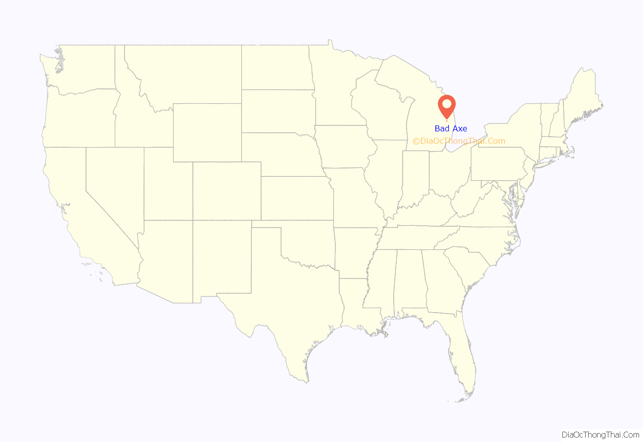
Bad Axe location map. Where is Bad Axe city?
History
The city was established in 1905. The city’s unusual name dates to the time of its settlement. While surveying the first state road through the Huron County wilderness in 1861, Rudolph Papst and George Willis Pack made camp at the future site of the city and found a much-used and badly damaged axe. At Pack’s suggestion, Papst used the name “Bad Axe Camp” in the minutes of the survey and on a sign he placed along the main trail. The first post office in Bad Axe was established in 1870.
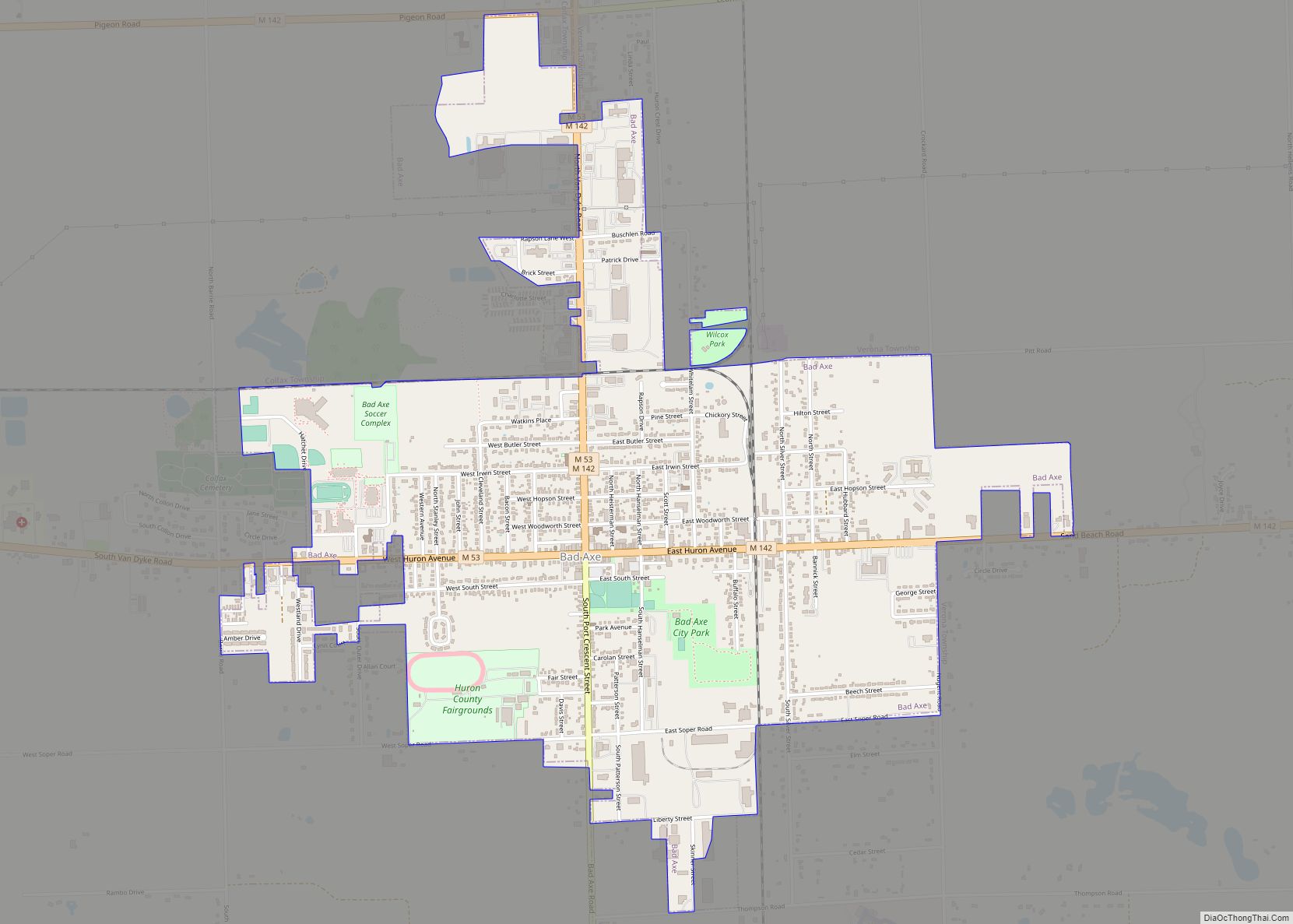
Bad Axe Road Map
Bad Axe city Satellite Map
Geography
According to the United States Census Bureau, the city has an area of 2.26 square miles (5.85 km), all land.
Climate
This climatic region has large seasonal temperature differences, with warm to hot (and often humid) summers and cold (sometimes severely cold) winters. According to the Köppen Climate Classification system, Bad Axe has a humid continental climate, abbreviated “Dfb” on climate maps.
See also
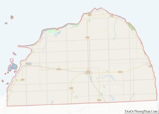
Map of Michigan State and its subdivision:- Alcona
- Alger
- Allegan
- Alpena
- Antrim
- Arenac
- Baraga
- Barry
- Bay
- Benzie
- Berrien
- Branch
- Calhoun
- Cass
- Charlevoix
- Cheboygan
- Chippewa
- Clare
- Clinton
- Crawford
- Delta
- Dickinson
- Eaton
- Emmet
- Genesee
- Gladwin
- Gogebic
- Grand Traverse
- Gratiot
- Hillsdale
- Houghton
- Huron
- Ingham
- Ionia
- Iosco
- Iron
- Isabella
- Jackson
- Kalamazoo
- Kalkaska
- Kent
- Keweenaw
- Lake
- Lake Hurron
- Lake Michigan
- Lake St. Clair
- Lake Superior
- Lapeer
- Leelanau
- Lenawee
- Livingston
- Luce
- Mackinac
- Macomb
- Manistee
- Marquette
- Mason
- Mecosta
- Menominee
- Midland
- Missaukee
- Monroe
- Montcalm
- Montmorency
- Muskegon
- Newaygo
- Oakland
- Oceana
- Ogemaw
- Ontonagon
- Osceola
- Oscoda
- Otsego
- Ottawa
- Presque Isle
- Roscommon
- Saginaw
- Saint Clair
- Saint Joseph
- Sanilac
- Schoolcraft
- Shiawassee
- Tuscola
- Van Buren
- Washtenaw
- Wayne
- Wexford
- Alabama
- Alaska
- Arizona
- Arkansas
- California
- Colorado
- Connecticut
- Delaware
- District of Columbia
- Florida
- Georgia
- Hawaii
- Idaho
- Illinois
- Indiana
- Iowa
- Kansas
- Kentucky
- Louisiana
- Maine
- Maryland
- Massachusetts
- Michigan
- Minnesota
- Mississippi
- Missouri
- Montana
- Nebraska
- Nevada
- New Hampshire
- New Jersey
- New Mexico
- New York
- North Carolina
- North Dakota
- Ohio
- Oklahoma
- Oregon
- Pennsylvania
- Rhode Island
- South Carolina
- South Dakota
- Tennessee
- Texas
- Utah
- Vermont
- Virginia
- Washington
- West Virginia
- Wisconsin
- Wyoming
