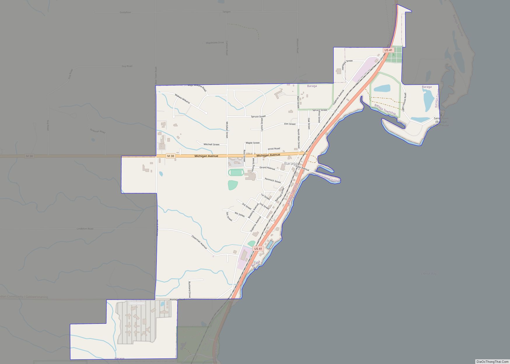
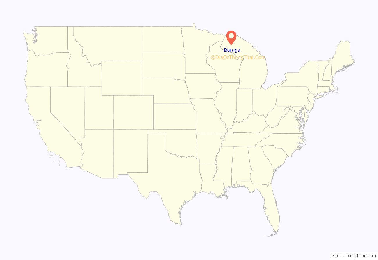
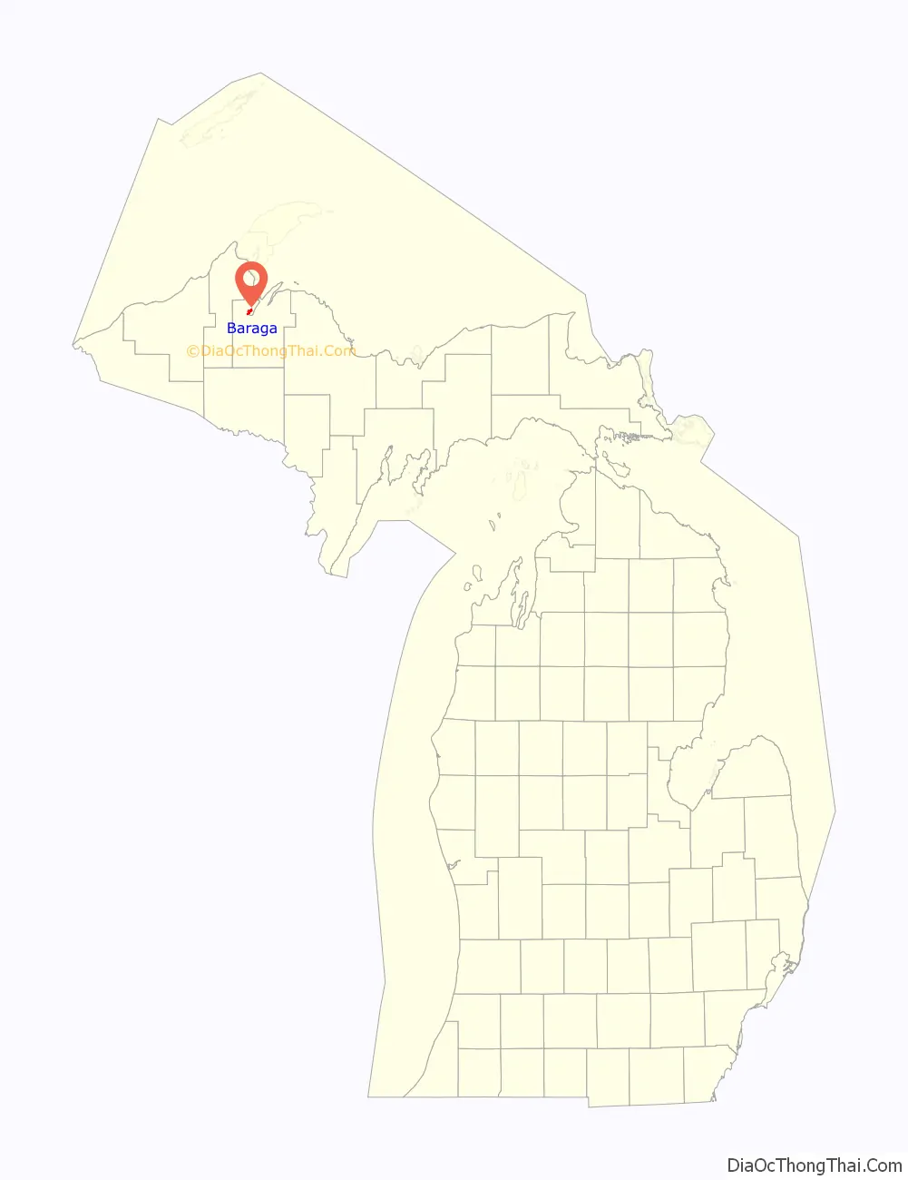
Baraga (/ˈbɛərəɡə/ BAIR-ə-gə) is a village in Baraga County in the U.S. state of Michigan. The population was 1,883 at the 2020 census. The village is named after Bishop Frederic Baraga.
The village is located in Baraga Township on the Keweenaw Bay on Lake Superior at the junction of US 41 and M-38. It is entirely within the boundaries of the L’Anse Indian Reservation. The Baraga ZIP code 49908 also serves areas of northern and northwestern Baraga Township.
| Name: | Baraga village |
|---|---|
| LSAD Code: | 47 |
| LSAD Description: | village (suffix) |
| State: | Michigan |
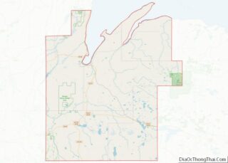
| County: | Baraga County |
| Elevation: | 630 ft (192 m) |
| Total Area: | 2.17 sq mi (5.63 km²) |
| Land Area: | 2.13 sq mi (5.51 km²) |
| Water Area: | 0.05 sq mi (0.12 km²) |
| Total Population: | 1,883 |
| Population Density: | 885.70/sq mi (341.92/km²) |
| ZIP code: | 49908 |
| Area code: | 906 |
| FIPS code: | 2605320 |
| GNISfeature ID: | 2398031 |
Online Interactive Map
Click on ![]() to view map in "full screen" mode.
to view map in "full screen" mode.
Baraga location map. Where is Baraga village?
History
Baraga began with the establishment of the Holy Name Mission at this site by Rev. Frederic Baraga in 1843.
The post office opened with the name Bristol on June 29, 1869 and changed to Baraga on May 11, 1870.
In 1993, the Baraga Correctional Facility was opened in the town.
On 30 May 2022, a consortium including Finnish technology giant Wärtsilä, the Electric Power Research Institute (EPRI), and Burns & McDonnell unveiled a contract with Milwaukee-based WEC Energy’s subsidiary Upper Michigan Energy Resources for a fuel testing pilot.
Baraga Road Map

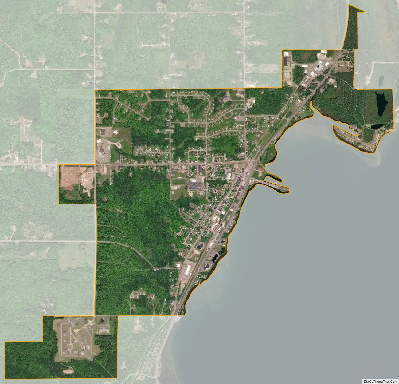
Baraga city Satellite Map
Geography
According to the United States Census Bureau, the village has a total area of 2.18 square miles (5.65 km), of which 2.12 square miles (5.49 km) is land and 0.06 square miles (0.16 km) is water.
See also
Map of Michigan State and its subdivision:- Alcona
- Alger
- Allegan
- Alpena
- Antrim
- Arenac
- Baraga
- Barry
- Bay
- Benzie
- Berrien
- Branch
- Calhoun
- Cass
- Charlevoix
- Cheboygan
- Chippewa
- Clare
- Clinton
- Crawford
- Delta
- Dickinson
- Eaton
- Emmet
- Genesee
- Gladwin
- Gogebic
- Grand Traverse
- Gratiot
- Hillsdale
- Houghton
- Huron
- Ingham
- Ionia
- Iosco
- Iron
- Isabella
- Jackson
- Kalamazoo
- Kalkaska
- Kent
- Keweenaw
- Lake
- Lake Hurron
- Lake Michigan
- Lake St. Clair
- Lake Superior
- Lapeer
- Leelanau
- Lenawee
- Livingston
- Luce
- Mackinac
- Macomb
- Manistee
- Marquette
- Mason
- Mecosta
- Menominee
- Midland
- Missaukee
- Monroe
- Montcalm
- Montmorency
- Muskegon
- Newaygo
- Oakland
- Oceana
- Ogemaw
- Ontonagon
- Osceola
- Oscoda
- Otsego
- Ottawa
- Presque Isle
- Roscommon
- Saginaw
- Saint Clair
- Saint Joseph
- Sanilac
- Schoolcraft
- Shiawassee
- Tuscola
- Van Buren
- Washtenaw
- Wayne
- Wexford
- Alabama
- Alaska
- Arizona
- Arkansas
- California
- Colorado
- Connecticut
- Delaware
- District of Columbia
- Florida
- Georgia
- Hawaii
- Idaho
- Illinois
- Indiana
- Iowa
- Kansas
- Kentucky
- Louisiana
- Maine
- Maryland
- Massachusetts
- Michigan
- Minnesota
- Mississippi
- Missouri
- Montana
- Nebraska
- Nevada
- New Hampshire
- New Jersey
- New Mexico
- New York
- North Carolina
- North Dakota
- Ohio
- Oklahoma
- Oregon
- Pennsylvania
- Rhode Island
- South Carolina
- South Dakota
- Tennessee
- Texas
- Utah
- Vermont
- Virginia
- Washington
- West Virginia
- Wisconsin
- Wyoming