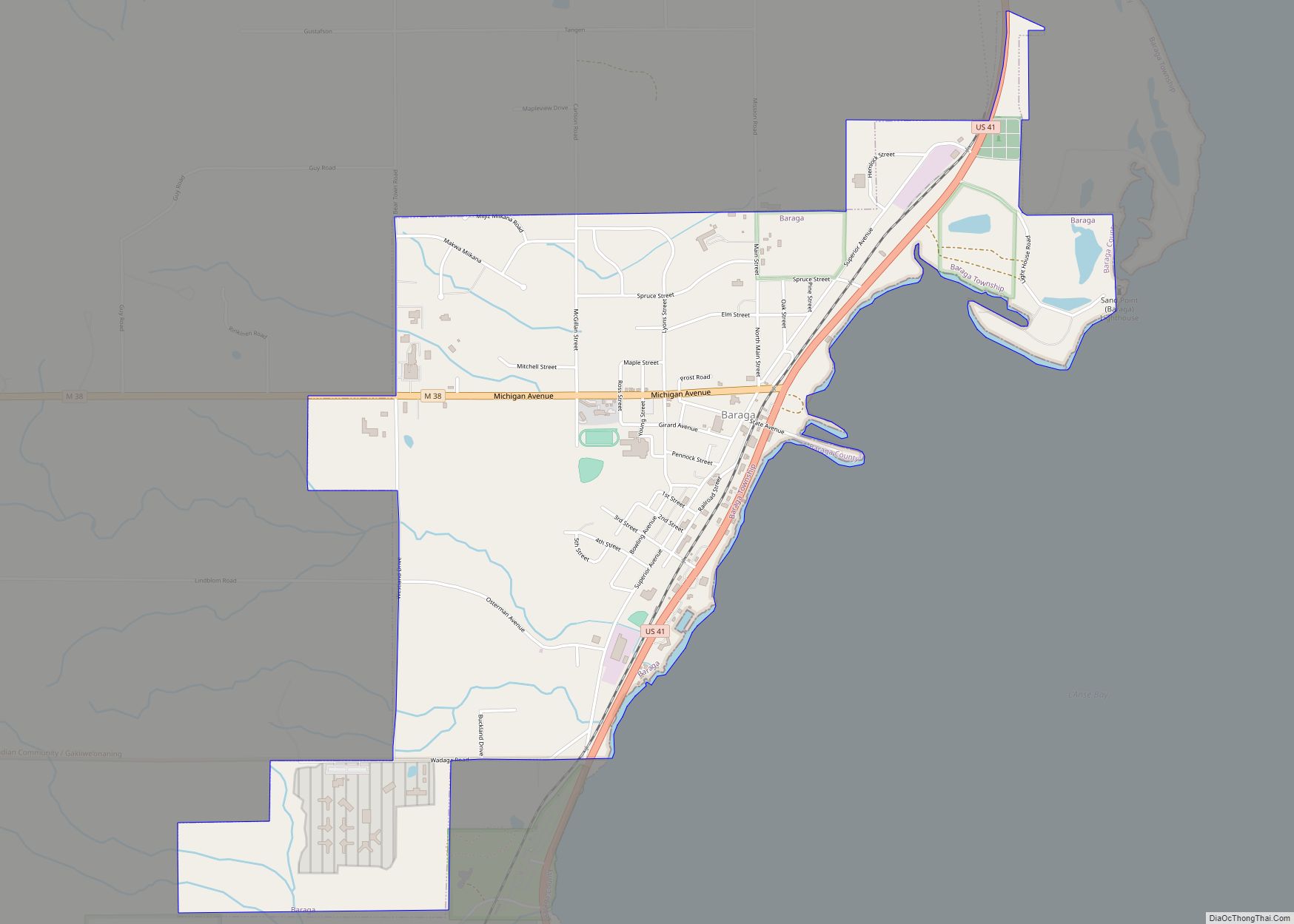
L’Anse (/lɑːns/ LAHNSS) is a village and the county seat of Baraga County, Michigan. The population was 1,874 at the 2020 census. The village is located within L’Anse Township in the Upper Peninsula, and partially inside the L’Anse Indian Reservation.
| Name: | L’Anse village |
|---|---|
| LSAD Code: | 47 |
| LSAD Description: | village (suffix) |
| State: | Michigan |
| County: | Baraga County |
| Elevation: | 620 ft (189 m) |
| Total Area: | 2.55 sq mi (6.60 km²) |
| Land Area: | 2.55 sq mi (6.59 km²) |
| Water Area: | 0.00 sq mi (0.00 km²) |
| Total Population: | 1,874 |
| Population Density: | 736.06/sq mi (284.16/km²) |
| ZIP code: | 49946 |
| Area code: | 906 |
| FIPS code: | 2645540 |
| GNISfeature ID: | 629897 |
| Website: | villageoflanse.org |
Online Interactive Map
Click on ![]() to view map in "full screen" mode.
to view map in "full screen" mode.
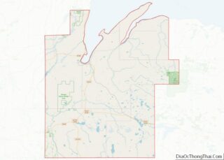
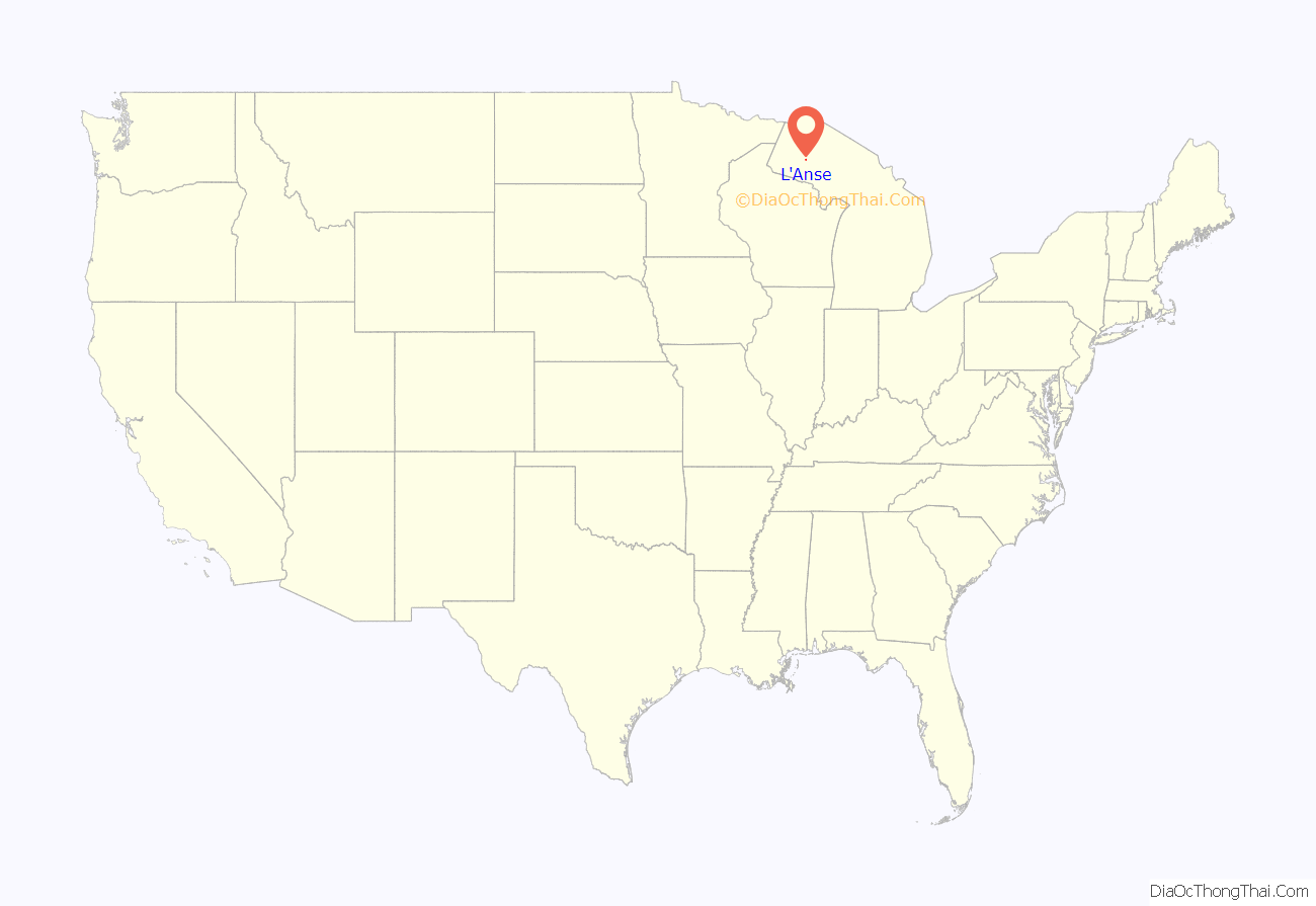
L’Anse location map. Where is L’Anse village?
History
This area was long occupied by people of the Lake Superior Band of Ojibwa (Chippewa), who called it “Gichi-wiikwedong”. Much later, French colonists had established a fur trading post here as a part of New France and a Jesuit mission, naming it L’Anse. In French, L’Anse translates as “the cove” or “the bay”, a reference to its location in on the southern portion of L’Anse Bay, a portion of the larger Keweenaw Bay, at the base of the Keweenaw Peninsula. The modern-day village grew around this French trading post.
Following treaties with the United States in the 19th century, the Ojibwa/Chippewa ceded extensive amounts of land in Michigan. The L’Anse Indian Reservation was established by the U.S. here as the largest and the oldest in Michigan.
In 1896, the village was completely burned to the ground by a deadly fire which left many homeless.
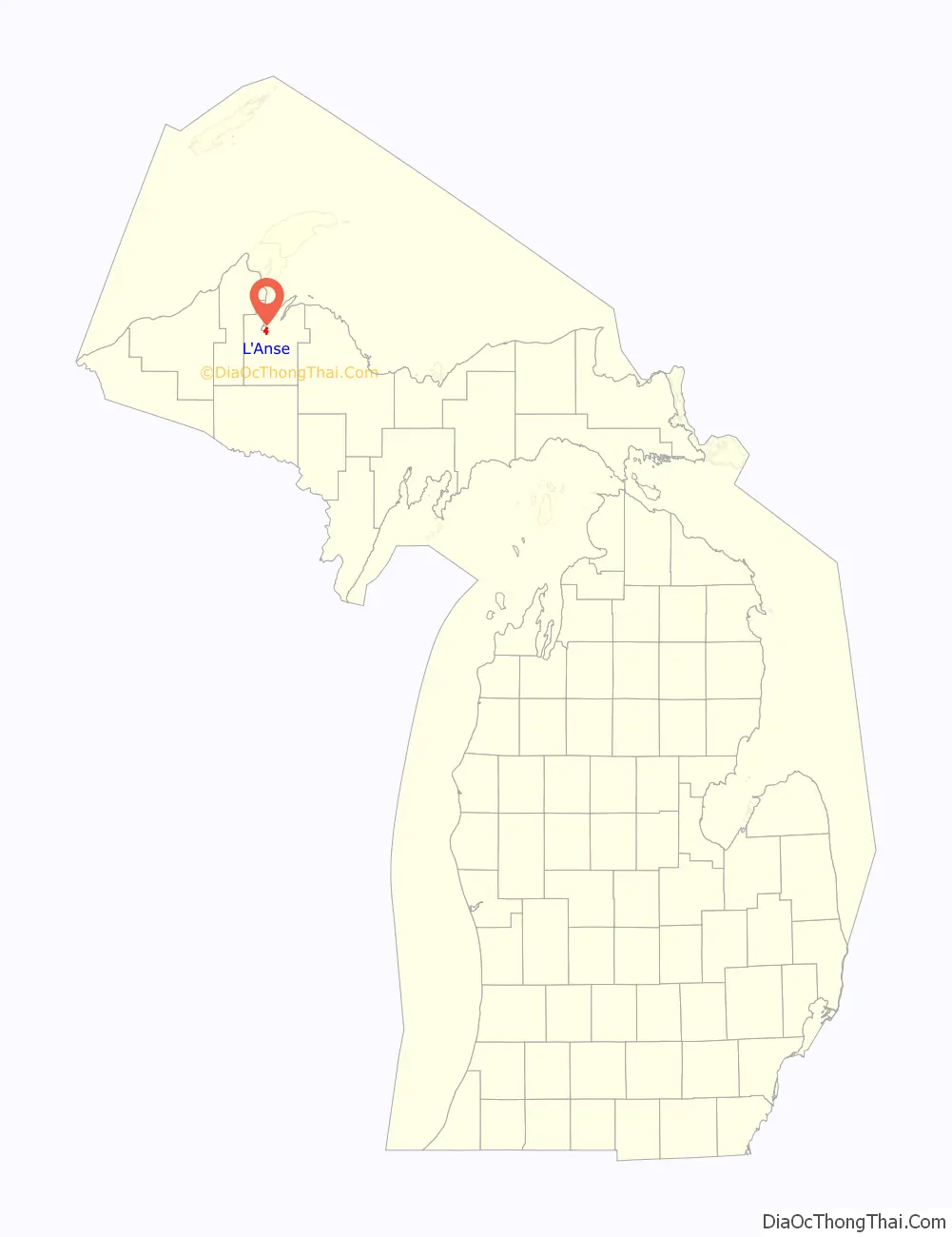
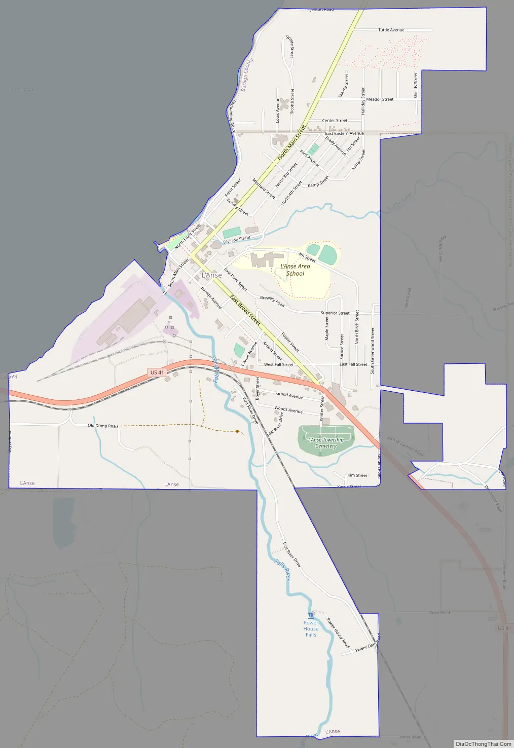
L’Anse Road Map
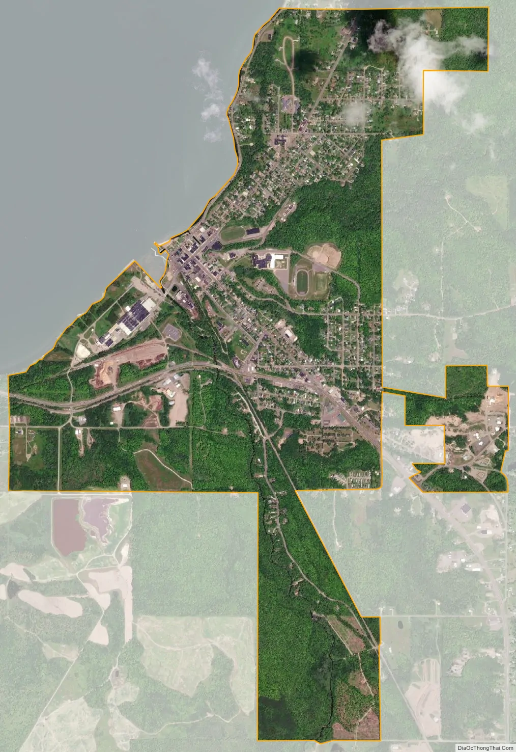
L’Anse city Satellite Map
Geography
According to the United States Census Bureau, the village has a total area of 2.53 square miles (6.55 km), all of it land.
Attractions
- The L’Anse Waterfront Park on Baraga Avenue within the downtown area is a nice and scenic location to rest.
- The Falls River Falls in downtown L’Anse is a very long series of cascading falls that spans the entire width of the Falls River.
See also
Map of Michigan State and its subdivision:- Alcona
- Alger
- Allegan
- Alpena
- Antrim
- Arenac
- Baraga
- Barry
- Bay
- Benzie
- Berrien
- Branch
- Calhoun
- Cass
- Charlevoix
- Cheboygan
- Chippewa
- Clare
- Clinton
- Crawford
- Delta
- Dickinson
- Eaton
- Emmet
- Genesee
- Gladwin
- Gogebic
- Grand Traverse
- Gratiot
- Hillsdale
- Houghton
- Huron
- Ingham
- Ionia
- Iosco
- Iron
- Isabella
- Jackson
- Kalamazoo
- Kalkaska
- Kent
- Keweenaw
- Lake
- Lake Hurron
- Lake Michigan
- Lake St. Clair
- Lake Superior
- Lapeer
- Leelanau
- Lenawee
- Livingston
- Luce
- Mackinac
- Macomb
- Manistee
- Marquette
- Mason
- Mecosta
- Menominee
- Midland
- Missaukee
- Monroe
- Montcalm
- Montmorency
- Muskegon
- Newaygo
- Oakland
- Oceana
- Ogemaw
- Ontonagon
- Osceola
- Oscoda
- Otsego
- Ottawa
- Presque Isle
- Roscommon
- Saginaw
- Saint Clair
- Saint Joseph
- Sanilac
- Schoolcraft
- Shiawassee
- Tuscola
- Van Buren
- Washtenaw
- Wayne
- Wexford
- Alabama
- Alaska
- Arizona
- Arkansas
- California
- Colorado
- Connecticut
- Delaware
- District of Columbia
- Florida
- Georgia
- Hawaii
- Idaho
- Illinois
- Indiana
- Iowa
- Kansas
- Kentucky
- Louisiana
- Maine
- Maryland
- Massachusetts
- Michigan
- Minnesota
- Mississippi
- Missouri
- Montana
- Nebraska
- Nevada
- New Hampshire
- New Jersey
- New Mexico
- New York
- North Carolina
- North Dakota
- Ohio
- Oklahoma
- Oregon
- Pennsylvania
- Rhode Island
- South Carolina
- South Dakota
- Tennessee
- Texas
- Utah
- Vermont
- Virginia
- Washington
- West Virginia
- Wisconsin
- Wyoming