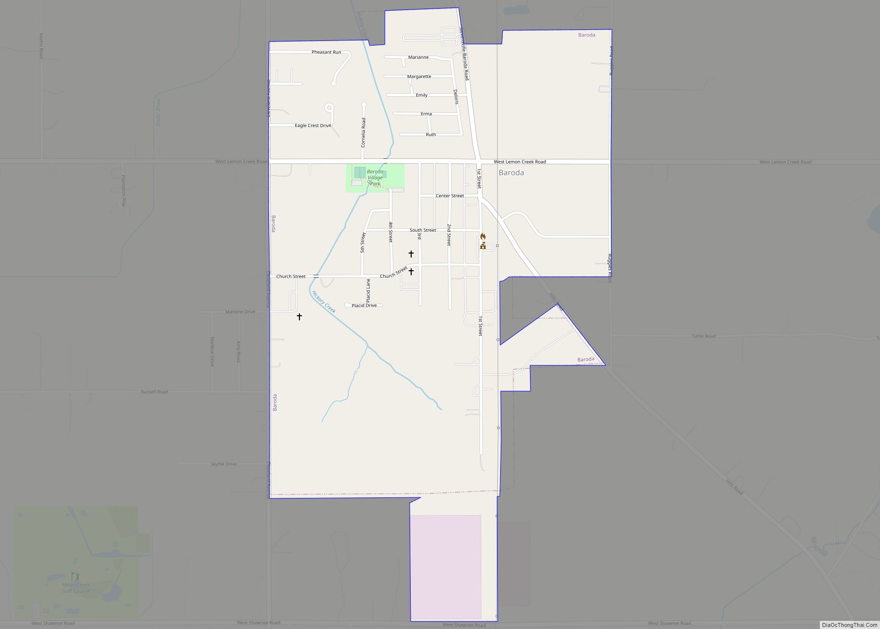
Baroda is a village in Berrien County in the U.S. state of Michigan. The population was 873 at the 2010 census. The village is within Baroda Township.
The first white settlers started to arrive in the 1830s and began clearing the land, draining the swamps, and building homes and farms. Michael Houser is considered the founder of Baroda, bargaining with the Indiana and Lake Michigan Railway Company to establish a station on his land. Houser platted the village ca. 1890. Houser named the community after Baroda in Gujarat, India. The village incorporated in 1907. The Baroda Post Office opened on January 1, 1891.
| Name: | Baroda village |
|---|---|
| LSAD Code: | 47 |
| LSAD Description: | village (suffix) |
| State: | Michigan |
| County: | Berrien County |
| Incorporated: | 1907 (village) |
| Elevation: | 643 ft (196 m) |
| Total Area: | 0.72 sq mi (1.86 km²) |
| Land Area: | 0.72 sq mi (1.86 km²) |
| Water Area: | 0.00 sq mi (0.00 km²) |
| Total Population: | 875 |
| Population Density: | 1,220.36/sq mi (471.37/km²) |
| Area code: | 269 |
| FIPS code: | 2605500 |
| GNISfeature ID: | 2398036 |
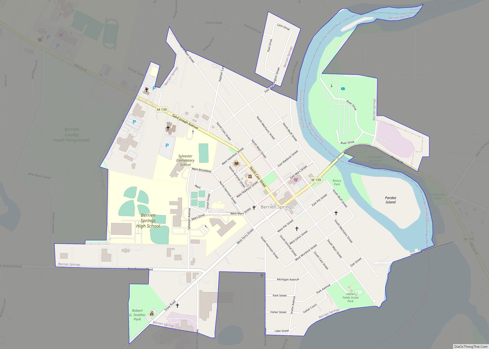
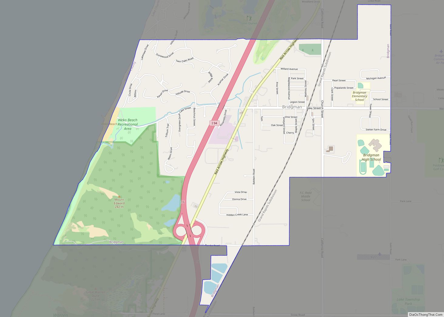
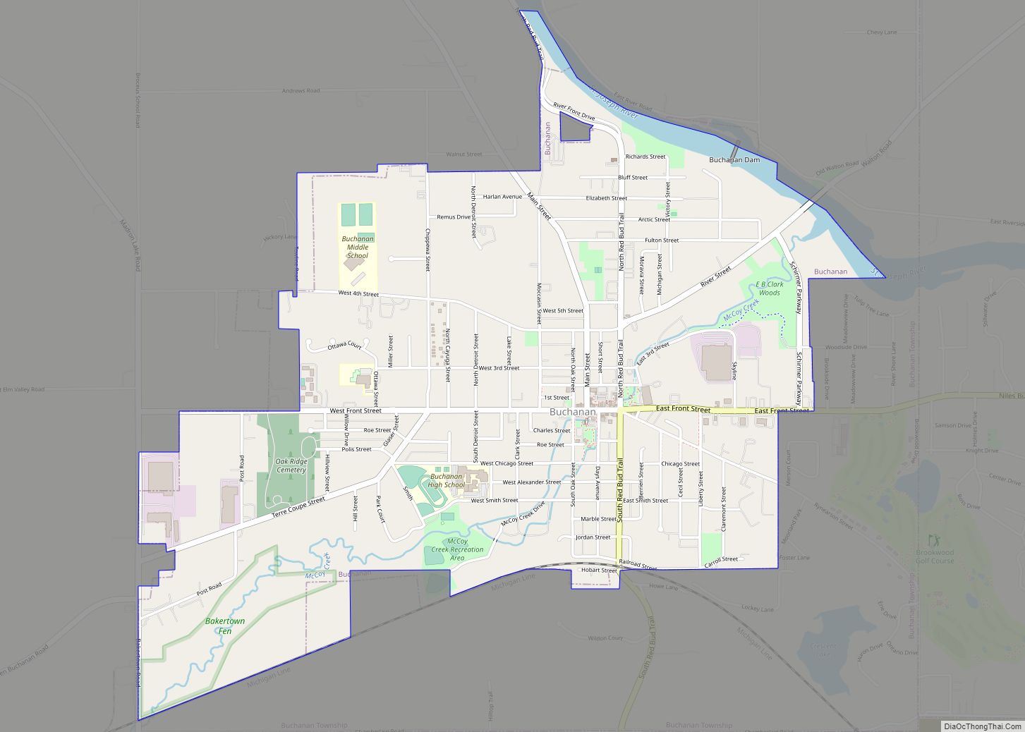
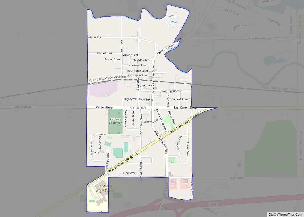
Online Interactive Map
Click on ![]() to view map in "full screen" mode.
to view map in "full screen" mode.
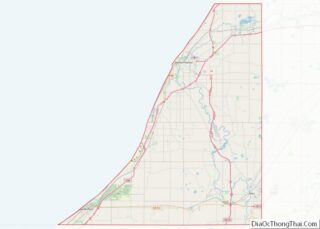
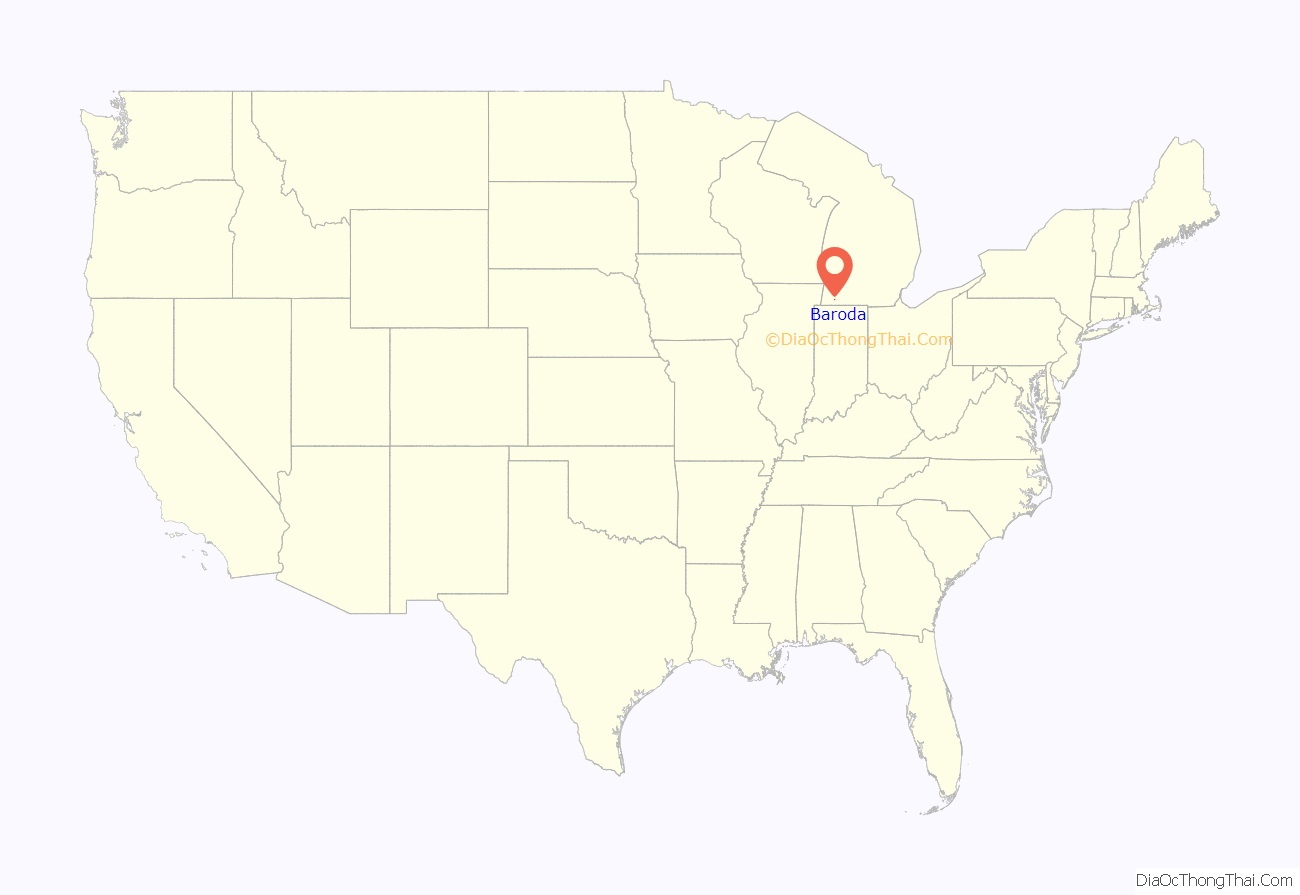
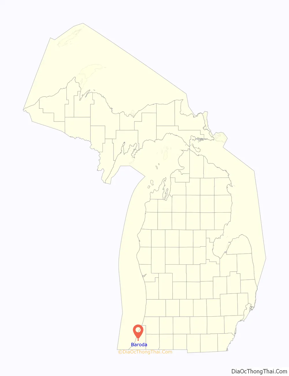
Baroda location map. Where is Baroda village?
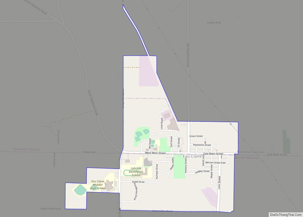
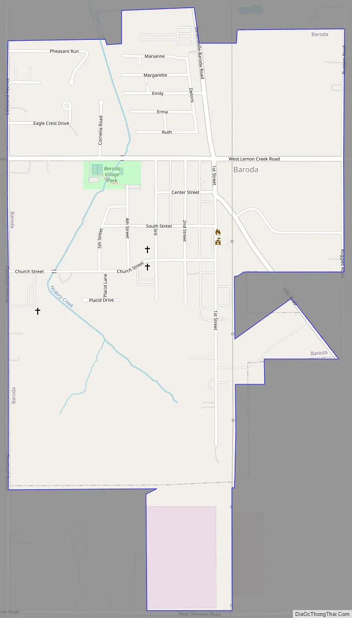
Baroda Road Map
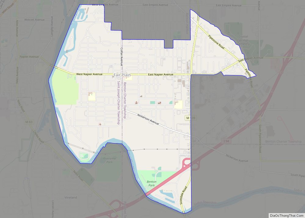
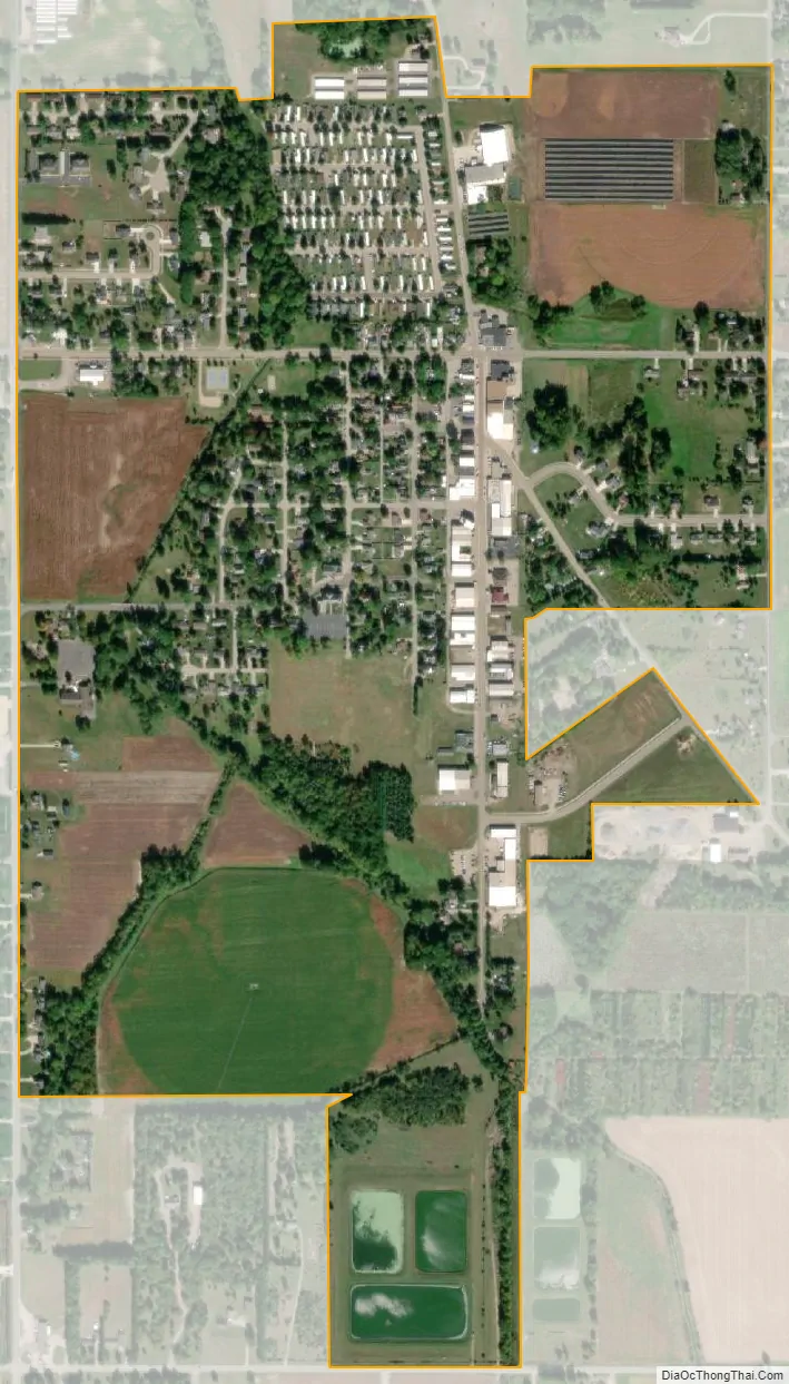
Baroda city Satellite Map
Geography
According to the United States Census Bureau, the village has a total area of 0.72 square miles (1.86 km), all land.
See also
Map of Michigan State and its subdivision:- Alcona
- Alger
- Allegan
- Alpena
- Antrim
- Arenac
- Baraga
- Barry
- Bay
- Benzie
- Berrien
- Branch
- Calhoun
- Cass
- Charlevoix
- Cheboygan
- Chippewa
- Clare
- Clinton
- Crawford
- Delta
- Dickinson
- Eaton
- Emmet
- Genesee
- Gladwin
- Gogebic
- Grand Traverse
- Gratiot
- Hillsdale
- Houghton
- Huron
- Ingham
- Ionia
- Iosco
- Iron
- Isabella
- Jackson
- Kalamazoo
- Kalkaska
- Kent
- Keweenaw
- Lake
- Lake Hurron
- Lake Michigan
- Lake St. Clair
- Lake Superior
- Lapeer
- Leelanau
- Lenawee
- Livingston
- Luce
- Mackinac
- Macomb
- Manistee
- Marquette
- Mason
- Mecosta
- Menominee
- Midland
- Missaukee
- Monroe
- Montcalm
- Montmorency
- Muskegon
- Newaygo
- Oakland
- Oceana
- Ogemaw
- Ontonagon
- Osceola
- Oscoda
- Otsego
- Ottawa
- Presque Isle
- Roscommon
- Saginaw
- Saint Clair
- Saint Joseph
- Sanilac
- Schoolcraft
- Shiawassee
- Tuscola
- Van Buren
- Washtenaw
- Wayne
- Wexford
- Alabama
- Alaska
- Arizona
- Arkansas
- California
- Colorado
- Connecticut
- Delaware
- District of Columbia
- Florida
- Georgia
- Hawaii
- Idaho
- Illinois
- Indiana
- Iowa
- Kansas
- Kentucky
- Louisiana
- Maine
- Maryland
- Massachusetts
- Michigan
- Minnesota
- Mississippi
- Missouri
- Montana
- Nebraska
- Nevada
- New Hampshire
- New Jersey
- New Mexico
- New York
- North Carolina
- North Dakota
- Ohio
- Oklahoma
- Oregon
- Pennsylvania
- Rhode Island
- South Carolina
- South Dakota
- Tennessee
- Texas
- Utah
- Vermont
- Virginia
- Washington
- West Virginia
- Wisconsin
- Wyoming