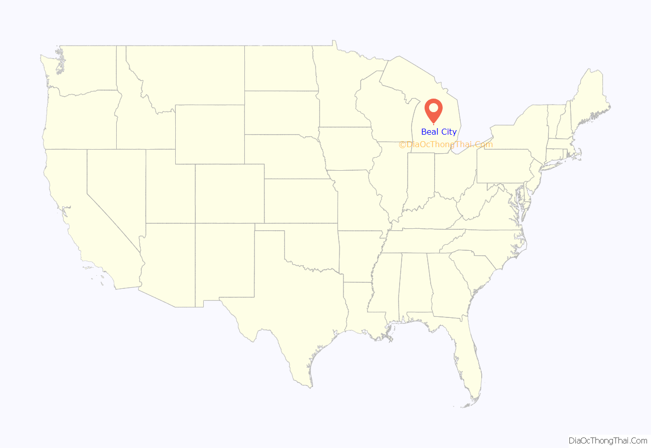
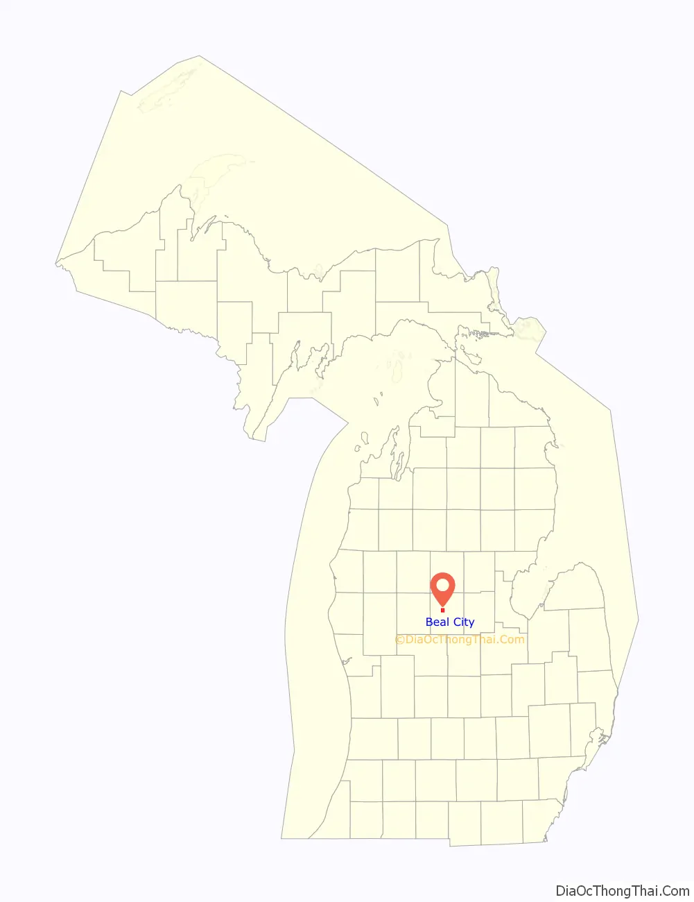
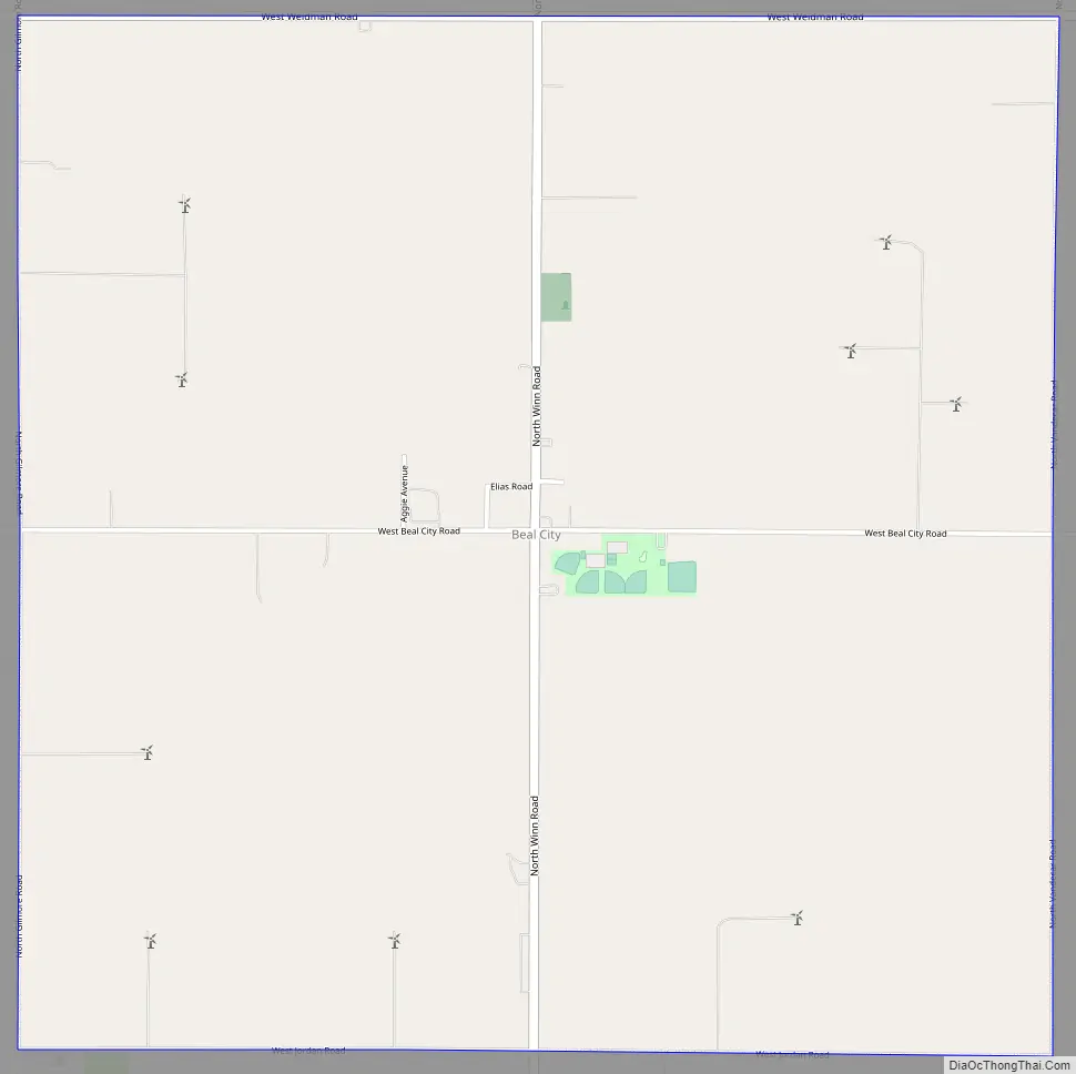
Beal City is an unincorporated community in Isabella County in the U.S. state of Michigan. It is a census-designated place (CDP) for statistical purposes, although Beal City is not an incorporated municipality and holds no legal autonomy. The population was 357 at the 2010 census. It is in Nottawa Township within the Isabella Indian Reservation of the Saginaw Chippewa Tribal Council.
| Name: | Beal City CDP |
|---|---|
| LSAD Code: | 57 |
| LSAD Description: | CDP (suffix) |
| State: | Michigan |
| County: | Isabella County |
| Elevation: | 863 ft (263 m) |
| Total Area: | 4.01 sq mi (10.40 km²) |
| Land Area: | 4.01 sq mi (10.39 km²) |
| Water Area: | 0.00 sq mi (0.00 km²) |
| Total Population: | 332 |
| Population Density: | 82.73/sq mi (31.94/km²) |
| Area code: | 989 |
| FIPS code: | 2606360 |
| GNISfeature ID: | 0620813 |
Online Interactive Map
Click on ![]() to view map in "full screen" mode.
to view map in "full screen" mode.
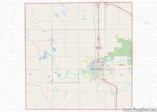
Beal City location map. Where is Beal City CDP?
History
Beal City was established in 1880 and given a post office in 1892.
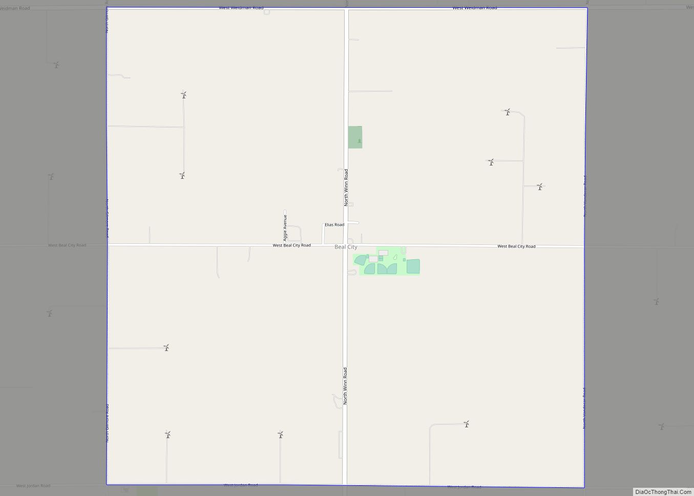
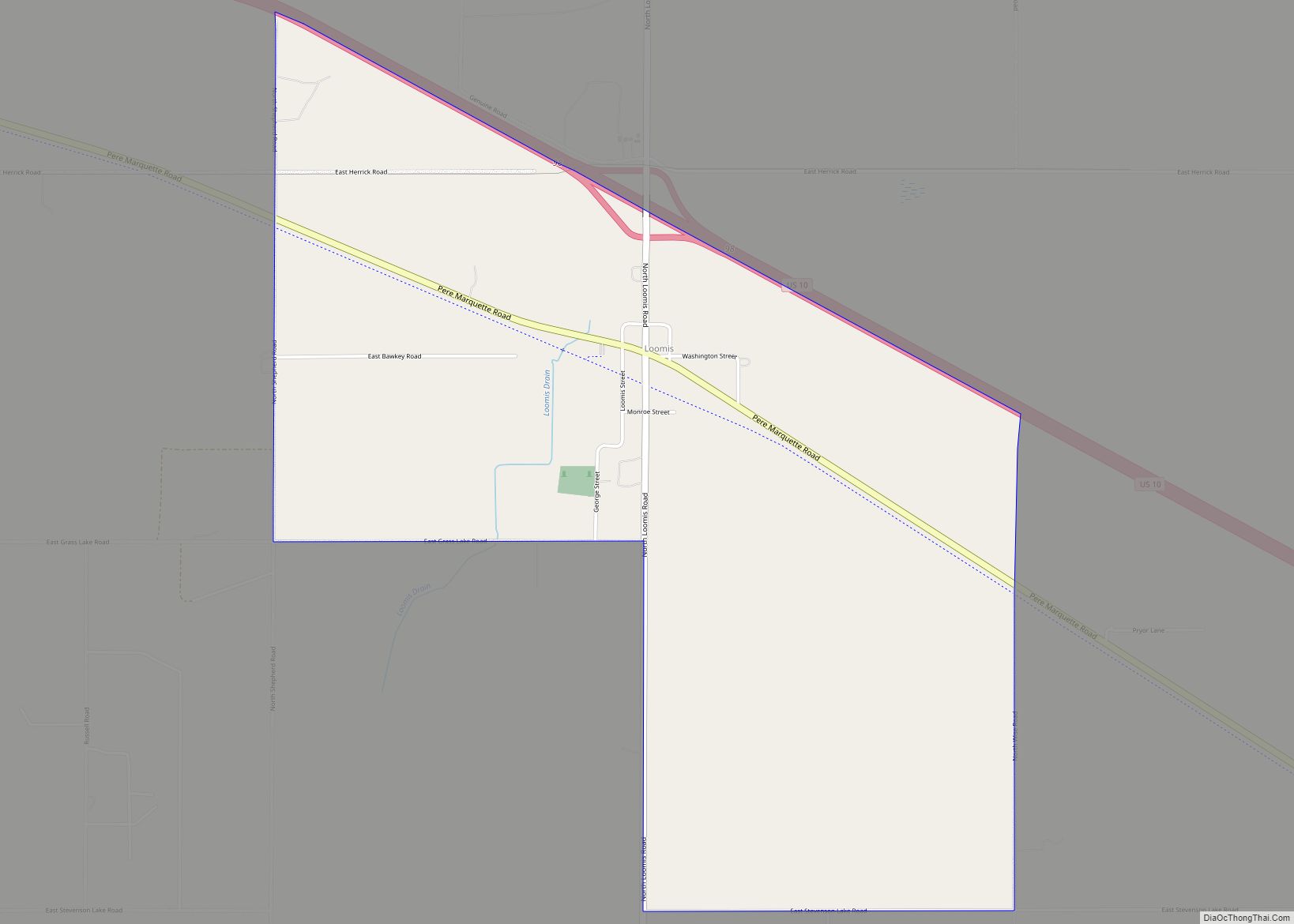
Beal City Road Map
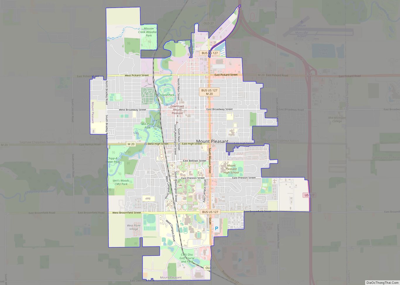
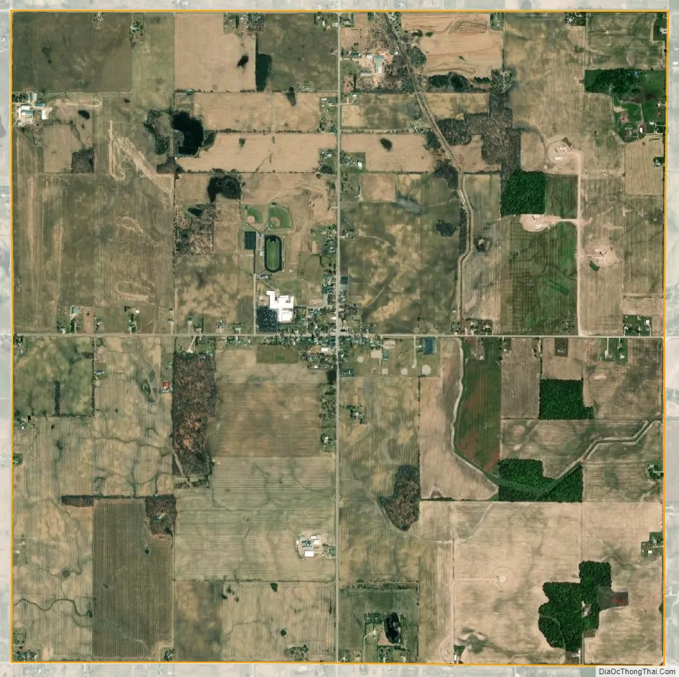
Beal City city Satellite Map
Geography
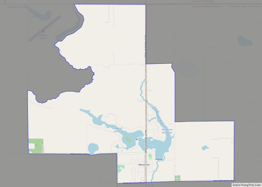
Beal City is 12 miles (19 km) by road northwest of Mount Pleasant, the Isabella County seat, and 4 miles (6 km) southeast of Weidman. According to the United States Census Bureau, the Beal City CDP has a total area of 4.0 square miles (10.4 km), all land. The land drains east toward the North Branch of the Chippewa River, part of the Saginaw River watershed.
See also
Map of Michigan State and its subdivision:- Alcona
- Alger
- Allegan
- Alpena
- Antrim
- Arenac
- Baraga
- Barry
- Bay
- Benzie
- Berrien
- Branch
- Calhoun
- Cass
- Charlevoix
- Cheboygan
- Chippewa
- Clare
- Clinton
- Crawford
- Delta
- Dickinson
- Eaton
- Emmet
- Genesee
- Gladwin
- Gogebic
- Grand Traverse
- Gratiot
- Hillsdale
- Houghton
- Huron
- Ingham
- Ionia
- Iosco
- Iron
- Isabella
- Jackson
- Kalamazoo
- Kalkaska
- Kent
- Keweenaw
- Lake
- Lake Hurron
- Lake Michigan
- Lake St. Clair
- Lake Superior
- Lapeer
- Leelanau
- Lenawee
- Livingston
- Luce
- Mackinac
- Macomb
- Manistee
- Marquette
- Mason
- Mecosta
- Menominee
- Midland
- Missaukee
- Monroe
- Montcalm
- Montmorency
- Muskegon
- Newaygo
- Oakland
- Oceana
- Ogemaw
- Ontonagon
- Osceola
- Oscoda
- Otsego
- Ottawa
- Presque Isle
- Roscommon
- Saginaw
- Saint Clair
- Saint Joseph
- Sanilac
- Schoolcraft
- Shiawassee
- Tuscola
- Van Buren
- Washtenaw
- Wayne
- Wexford
- Alabama
- Alaska
- Arizona
- Arkansas
- California
- Colorado
- Connecticut
- Delaware
- District of Columbia
- Florida
- Georgia
- Hawaii
- Idaho
- Illinois
- Indiana
- Iowa
- Kansas
- Kentucky
- Louisiana
- Maine
- Maryland
- Massachusetts
- Michigan
- Minnesota
- Mississippi
- Missouri
- Montana
- Nebraska
- Nevada
- New Hampshire
- New Jersey
- New Mexico
- New York
- North Carolina
- North Dakota
- Ohio
- Oklahoma
- Oregon
- Pennsylvania
- Rhode Island
- South Carolina
- South Dakota
- Tennessee
- Texas
- Utah
- Vermont
- Virginia
- Washington
- West Virginia
- Wisconsin
- Wyoming