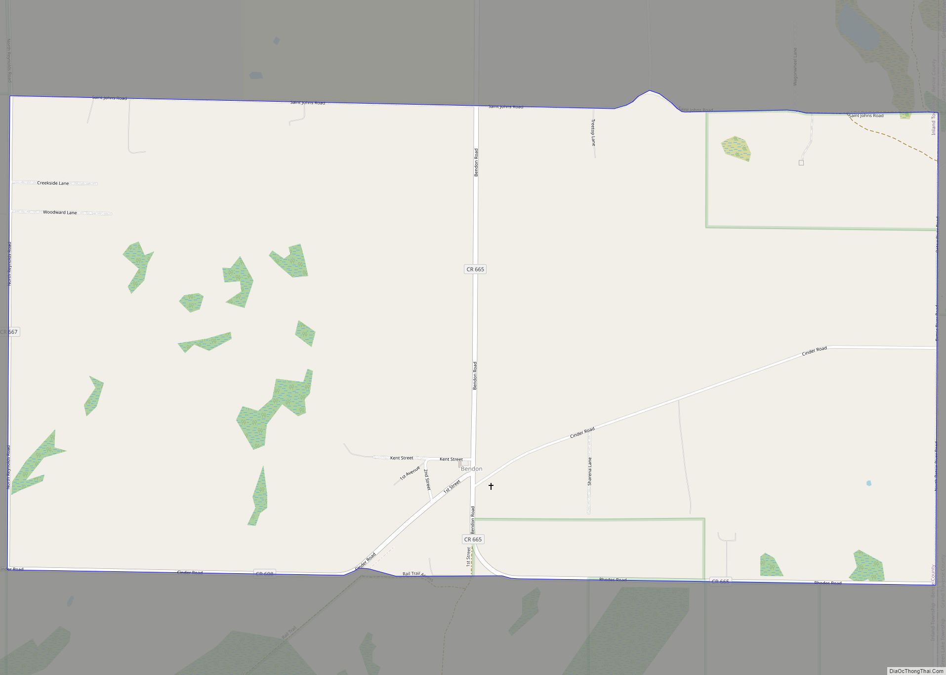
Bendon is an unincorporated community and census-designated place in Benzie County in the U.S. State of Michigan. The population was 208 at the 2010 census. Bendon is located within Inland Township.
| Name: | Bendon CDP |
|---|---|
| LSAD Code: | 57 |
| LSAD Description: | CDP (suffix) |
| State: | Michigan |
| County: | Benzie County |
| Elevation: | 846 ft (258 m) |
| Total Area: | 2.00 sq mi (5.19 km²) |
| Land Area: | 2.00 sq mi (5.19 km²) |
| Water Area: | 0.00 sq mi (0.00 km²) |
| Total Population: | 210 |
| Population Density: | 104.74/sq mi (40.45/km²) |
| Area code: | 231 |
| FIPS code: | 2607220 |
| GNISfeature ID: | 0621089 |
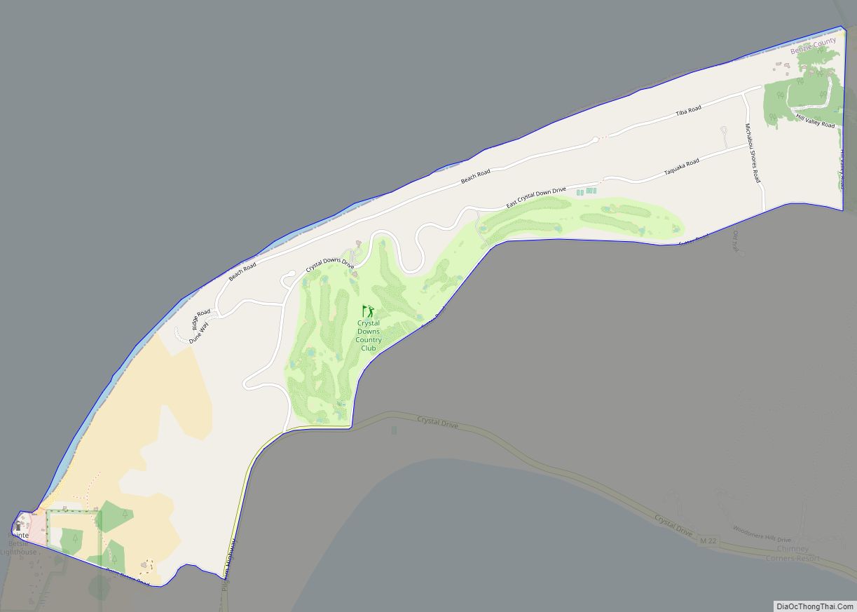
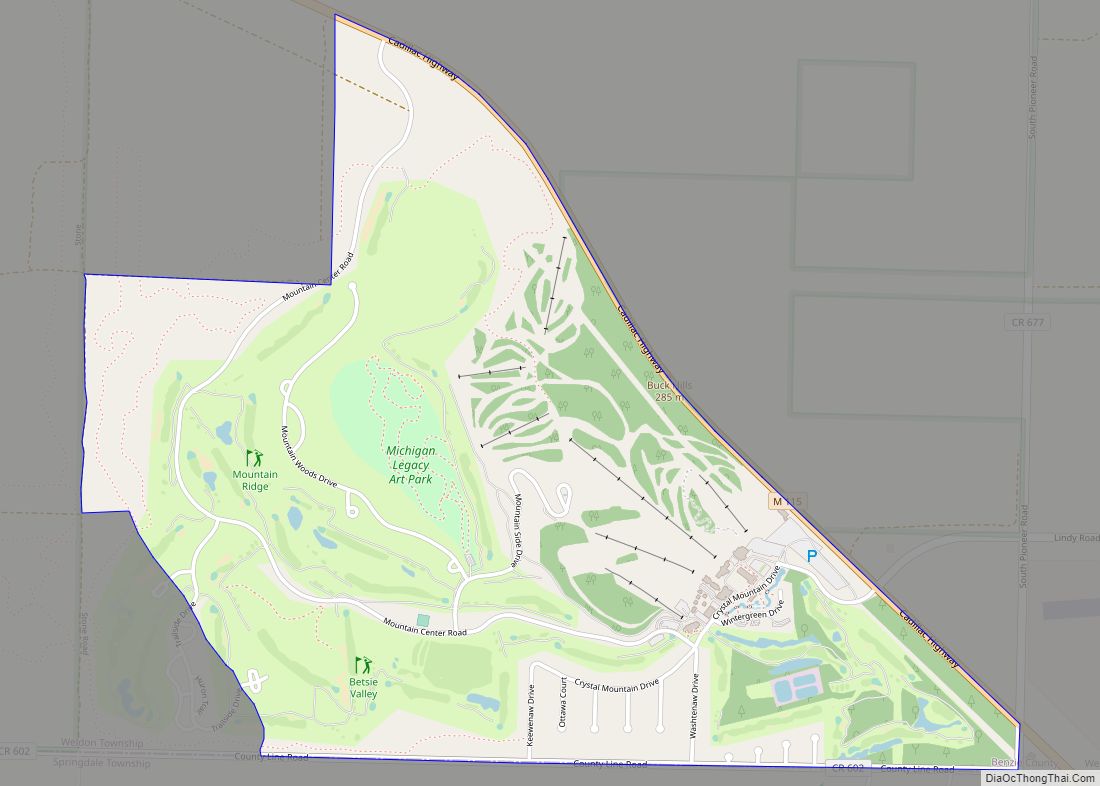
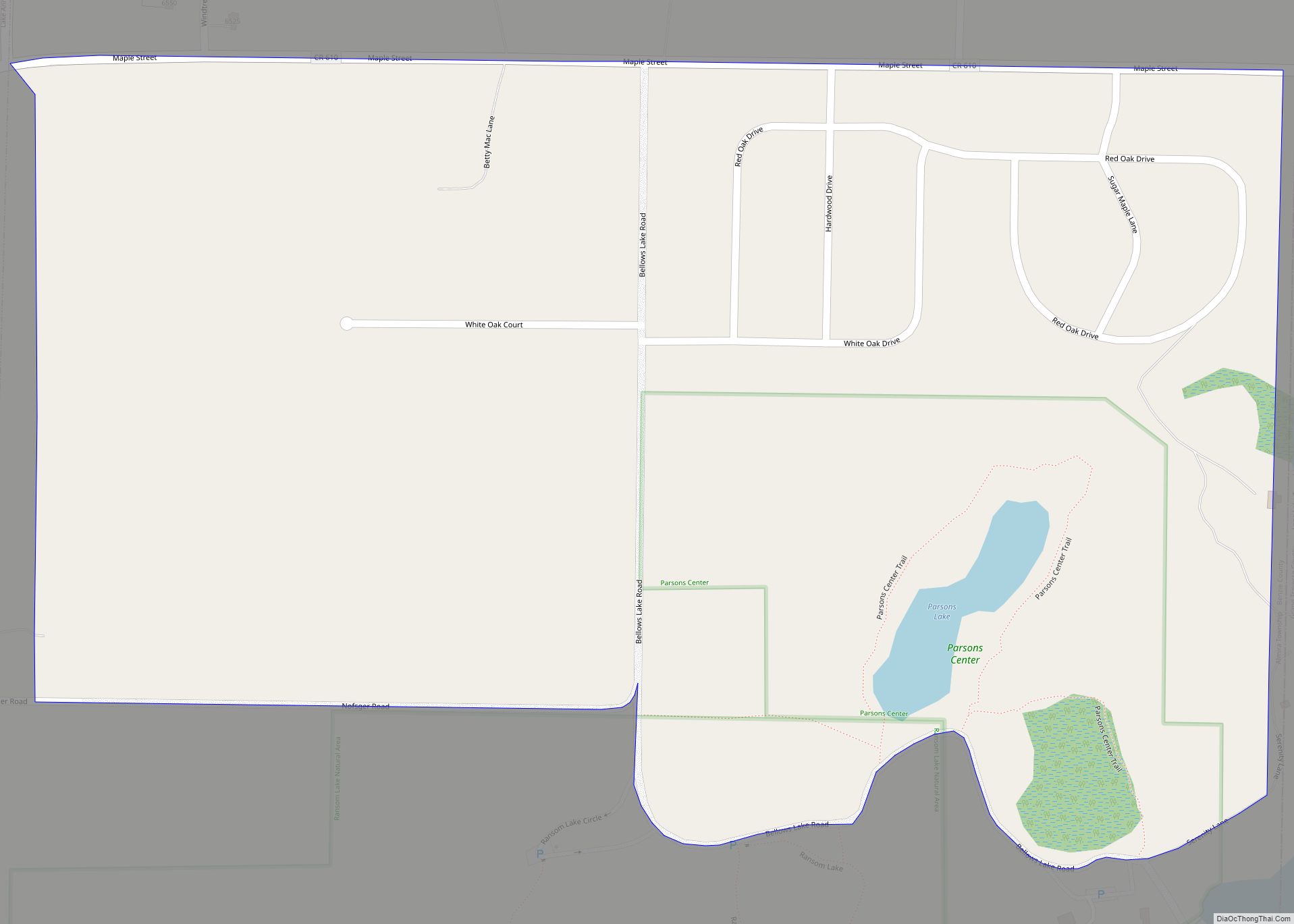
Online Interactive Map
Click on ![]() to view map in "full screen" mode.
to view map in "full screen" mode.
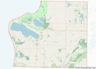
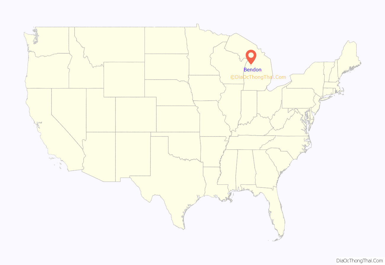
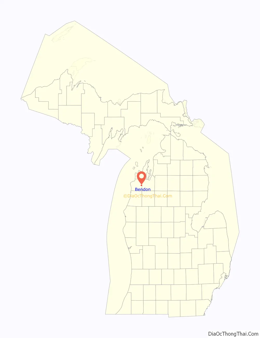
Bendon location map. Where is Bendon CDP?
History
The settlement developed around a sawmill and was first named “Kentville” after Albert Kent, a farmer who became the first postmaster on April 24, 1888. It was given a station on the now abandoned Chicago and West Michigan Railway. The post office was renamed “Bendon” on June 30, 1892, and operated until March 31, 1954.
The community of Bendon was listed as a newly organized census-designated place for the 2010 census, meaning it now has officially defined boundaries and population statistics for the first time.
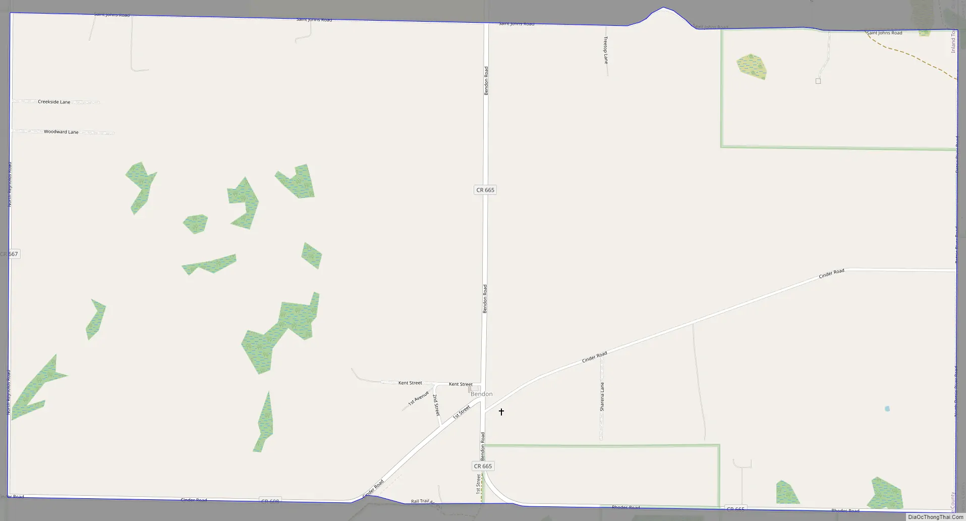
Bendon Road Map
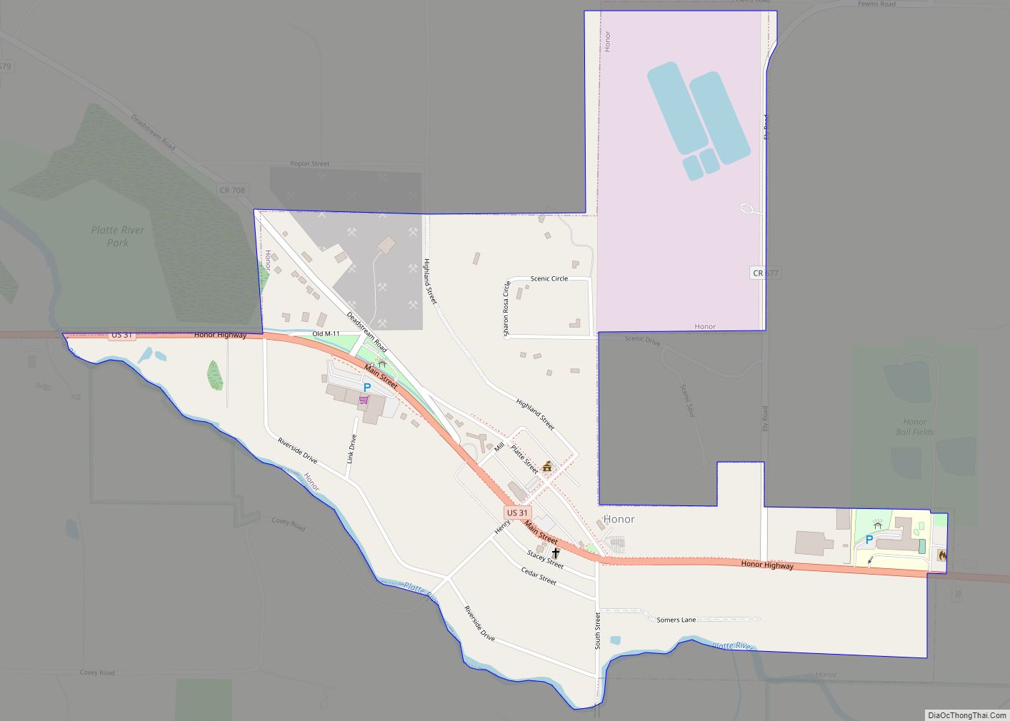
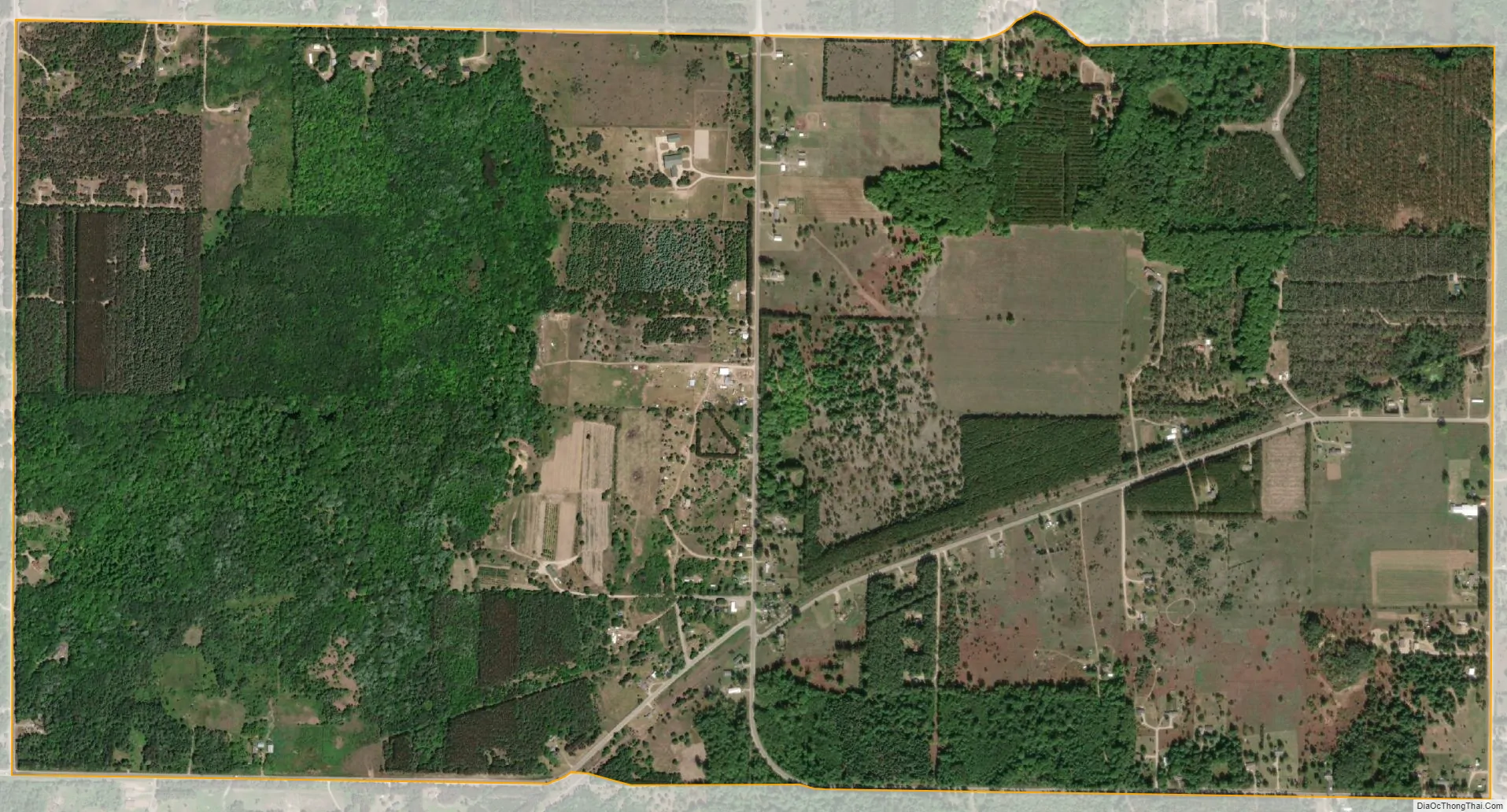
Bendon city Satellite Map
Geography
Bendon is located in the eastern part of Inland Township in eastern Benzie County. Bendon’s eastern border is the Grand Traverse County line. The center of the community is at the intersection of Bendon Road and Cinder Road.
According to the United States Census Bureau, the Bendon CDP has a total area of 2.0 square miles (5.2 km), all land.
See also
Map of Michigan State and its subdivision:- Alcona
- Alger
- Allegan
- Alpena
- Antrim
- Arenac
- Baraga
- Barry
- Bay
- Benzie
- Berrien
- Branch
- Calhoun
- Cass
- Charlevoix
- Cheboygan
- Chippewa
- Clare
- Clinton
- Crawford
- Delta
- Dickinson
- Eaton
- Emmet
- Genesee
- Gladwin
- Gogebic
- Grand Traverse
- Gratiot
- Hillsdale
- Houghton
- Huron
- Ingham
- Ionia
- Iosco
- Iron
- Isabella
- Jackson
- Kalamazoo
- Kalkaska
- Kent
- Keweenaw
- Lake
- Lake Hurron
- Lake Michigan
- Lake St. Clair
- Lake Superior
- Lapeer
- Leelanau
- Lenawee
- Livingston
- Luce
- Mackinac
- Macomb
- Manistee
- Marquette
- Mason
- Mecosta
- Menominee
- Midland
- Missaukee
- Monroe
- Montcalm
- Montmorency
- Muskegon
- Newaygo
- Oakland
- Oceana
- Ogemaw
- Ontonagon
- Osceola
- Oscoda
- Otsego
- Ottawa
- Presque Isle
- Roscommon
- Saginaw
- Saint Clair
- Saint Joseph
- Sanilac
- Schoolcraft
- Shiawassee
- Tuscola
- Van Buren
- Washtenaw
- Wayne
- Wexford
- Alabama
- Alaska
- Arizona
- Arkansas
- California
- Colorado
- Connecticut
- Delaware
- District of Columbia
- Florida
- Georgia
- Hawaii
- Idaho
- Illinois
- Indiana
- Iowa
- Kansas
- Kentucky
- Louisiana
- Maine
- Maryland
- Massachusetts
- Michigan
- Minnesota
- Mississippi
- Missouri
- Montana
- Nebraska
- Nevada
- New Hampshire
- New Jersey
- New Mexico
- New York
- North Carolina
- North Dakota
- Ohio
- Oklahoma
- Oregon
- Pennsylvania
- Rhode Island
- South Carolina
- South Dakota
- Tennessee
- Texas
- Utah
- Vermont
- Virginia
- Washington
- West Virginia
- Wisconsin
- Wyoming