Bridgman is a city in Berrien County in the U.S. state of Michigan. The population was 2,291 at the time of the 2010 census.
| Name: | Bridgman city |
|---|---|
| LSAD Code: | 25 |
| LSAD Description: | city (suffix) |
| State: | Michigan |
| County: | Berrien County |
| Elevation: | 679 ft (207 m) |
| Total Area: | 2.92 sq mi (7.57 km²) |
| Land Area: | 2.89 sq mi (7.49 km²) |
| Water Area: | 0.03 sq mi (0.08 km²) |
| Total Population: | 2,096 |
| Population Density: | 724.51/sq mi (279.76/km²) |
| Area code: | 269 |
| FIPS code: | 2610580 |
| GNISfeature ID: | 0621967 |
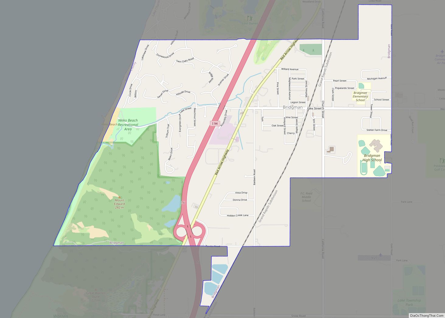
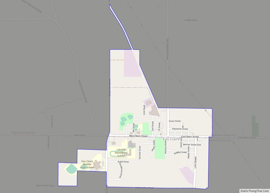
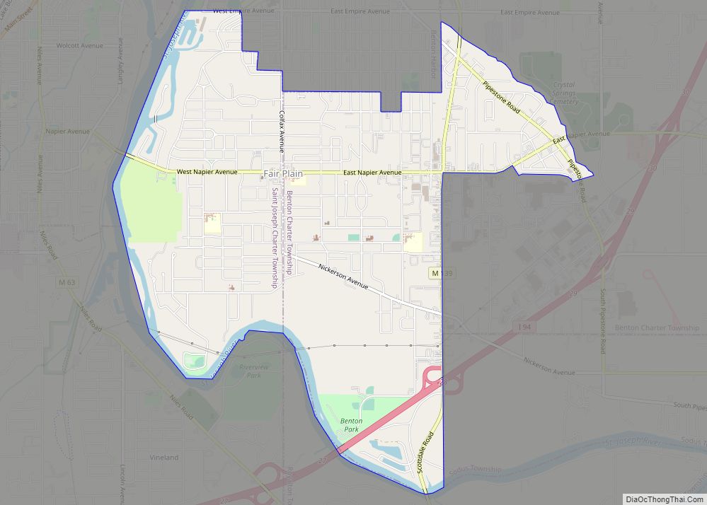
Online Interactive Map
Click on ![]() to view map in "full screen" mode.
to view map in "full screen" mode.
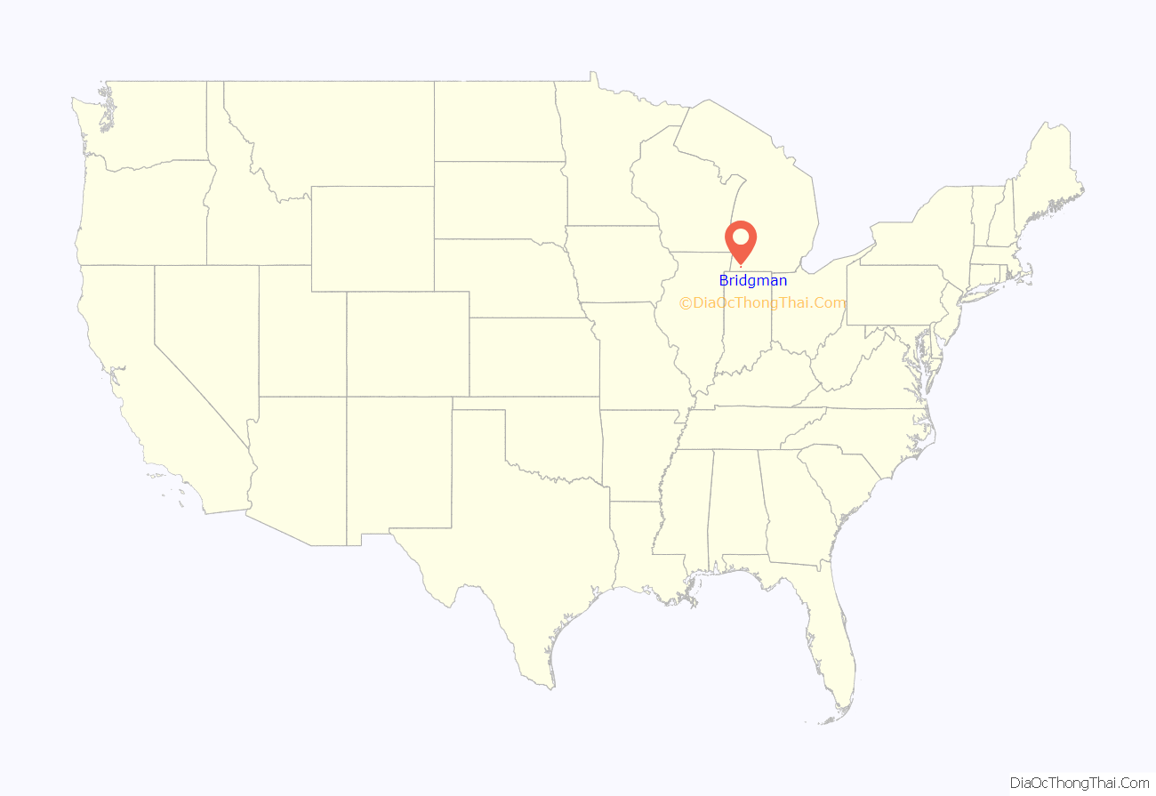
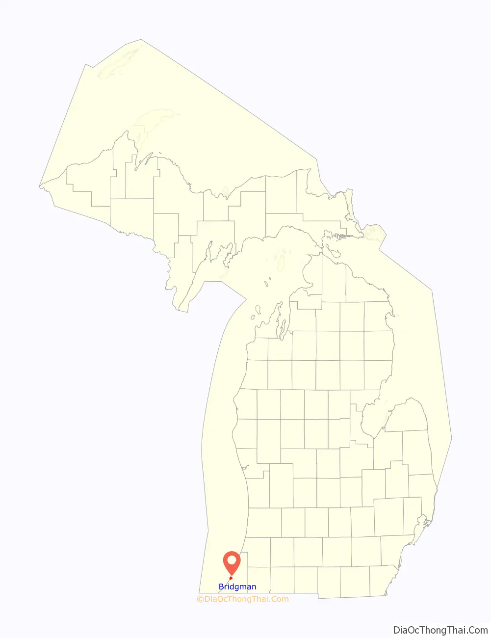
Bridgman location map. Where is Bridgman city?
History
There was a place in this area known as Plummer’s Pier. In 1856 lumbermen founded Charlotteville in this area.
Bridgman itself begins with the village of that name platted by George C. Bridgman in 1870. It was centered on a railroad station opened that year.
The Bridgman post office, with ZIP code 49106 opened with the name “Laketon” on November 11, 1862. The name changed to Bridgman on April 9, 1874. Bridgman later expanded by annexing the area that had previously been Charlotteville. The town is famous for being the location of the 1922 Bridgman Convention, a clandestine communist planning meeting in 1922 that was broken up by Federal Bureau of Investigation agents and local authorities.
Weko Beach
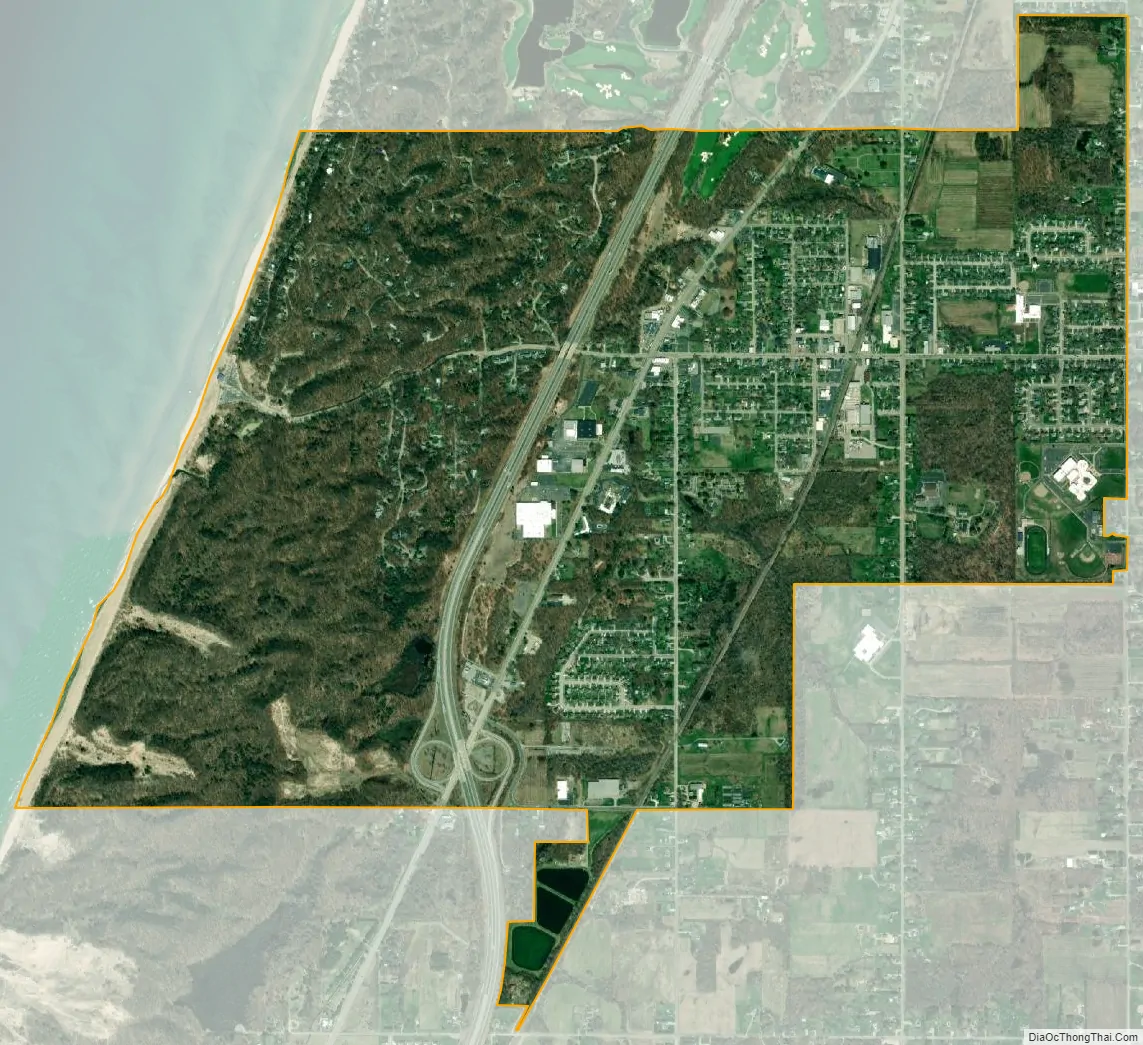
Weko Beach is one of the key attractions of Bridgman. It is situated on the shores of Lake Michigan and is connected to Warren Dunes State Park on its South border. Visitors can walk from Weko Beach into Warren Dunes State Park, nearly three consecutive miles of beach.
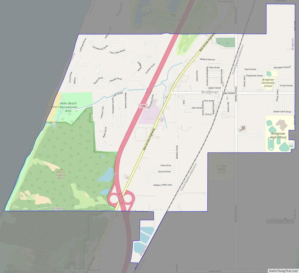
Bridgman Road Map
Bridgman city Satellite Map
Geography
According to the United States Census Bureau, the city has a total area of 2.93 square miles (7.59 km), of which 2.90 square miles (7.51 km) is land and 0.03 square miles (0.08 km) is water.
See also
Map of Michigan State and its subdivision:- Alcona
- Alger
- Allegan
- Alpena
- Antrim
- Arenac
- Baraga
- Barry
- Bay
- Benzie
- Berrien
- Branch
- Calhoun
- Cass
- Charlevoix
- Cheboygan
- Chippewa
- Clare
- Clinton
- Crawford
- Delta
- Dickinson
- Eaton
- Emmet
- Genesee
- Gladwin
- Gogebic
- Grand Traverse
- Gratiot
- Hillsdale
- Houghton
- Huron
- Ingham
- Ionia
- Iosco
- Iron
- Isabella
- Jackson
- Kalamazoo
- Kalkaska
- Kent
- Keweenaw
- Lake
- Lake Hurron
- Lake Michigan
- Lake St. Clair
- Lake Superior
- Lapeer
- Leelanau
- Lenawee
- Livingston
- Luce
- Mackinac
- Macomb
- Manistee
- Marquette
- Mason
- Mecosta
- Menominee
- Midland
- Missaukee
- Monroe
- Montcalm
- Montmorency
- Muskegon
- Newaygo
- Oakland
- Oceana
- Ogemaw
- Ontonagon
- Osceola
- Oscoda
- Otsego
- Ottawa
- Presque Isle
- Roscommon
- Saginaw
- Saint Clair
- Saint Joseph
- Sanilac
- Schoolcraft
- Shiawassee
- Tuscola
- Van Buren
- Washtenaw
- Wayne
- Wexford
- Alabama
- Alaska
- Arizona
- Arkansas
- California
- Colorado
- Connecticut
- Delaware
- District of Columbia
- Florida
- Georgia
- Hawaii
- Idaho
- Illinois
- Indiana
- Iowa
- Kansas
- Kentucky
- Louisiana
- Maine
- Maryland
- Massachusetts
- Michigan
- Minnesota
- Mississippi
- Missouri
- Montana
- Nebraska
- Nevada
- New Hampshire
- New Jersey
- New Mexico
- New York
- North Carolina
- North Dakota
- Ohio
- Oklahoma
- Oregon
- Pennsylvania
- Rhode Island
- South Carolina
- South Dakota
- Tennessee
- Texas
- Utah
- Vermont
- Virginia
- Washington
- West Virginia
- Wisconsin
- Wyoming