Bronson is a city located in west central Branch County in the U.S. state of Michigan. The population was 2,349 at the 2010 census.
Bronson is situated on U.S. Highway 12 about 12 miles (19 km) southwest of Coldwater. The ZIP code is 49028 and the FIPS place code is 10860.
The city is located within Bronson Township, though it is administratively autonomous.
| Name: | Bronson city |
|---|---|
| LSAD Code: | 25 |
| LSAD Description: | city (suffix) |
| State: | Michigan |
| County: | Branch County |
| Elevation: | 912 ft (278 m) |
| Total Area: | 1.37 sq mi (3.55 km²) |
| Land Area: | 1.37 sq mi (3.54 km²) |
| Water Area: | 0.00 sq mi (0.01 km²) |
| Total Population: | 2,307 |
| Population Density: | 1,687.64/sq mi (651.57/km²) |
| ZIP code: | 49028 |
| Area code: | 517 |
| FIPS code: | 2610860 |
| GNISfeature ID: | 0622022 |
| Website: | www.bronson-mi.com |
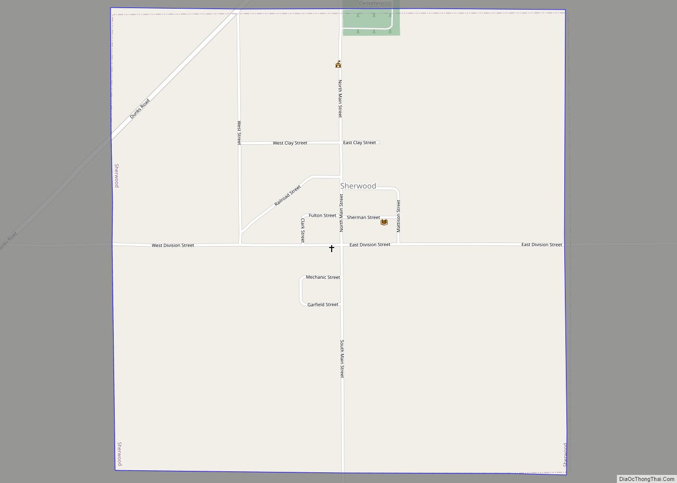
Online Interactive Map
Click on ![]() to view map in "full screen" mode.
to view map in "full screen" mode.
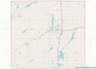
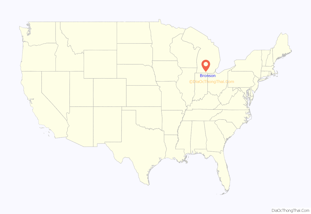
Bronson location map. Where is Bronson city?
History
A post office was established here under the name of Bronson’s Prairie in 1830, with Jabez B. Bronson as post master. When the village was started it was first named York, but was renamed to Bronson by the Michigan legislature in 1837. The village was incorporated in 1866 and made a city in 1934.
Bronson established a new City Charter in 1985. This charter established the Council-Manager form of government under which Bronson still operates.
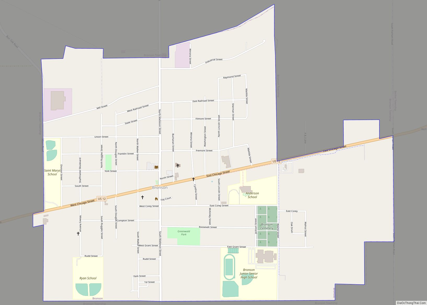
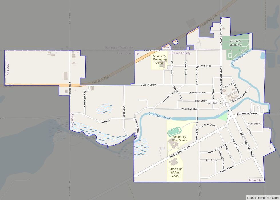
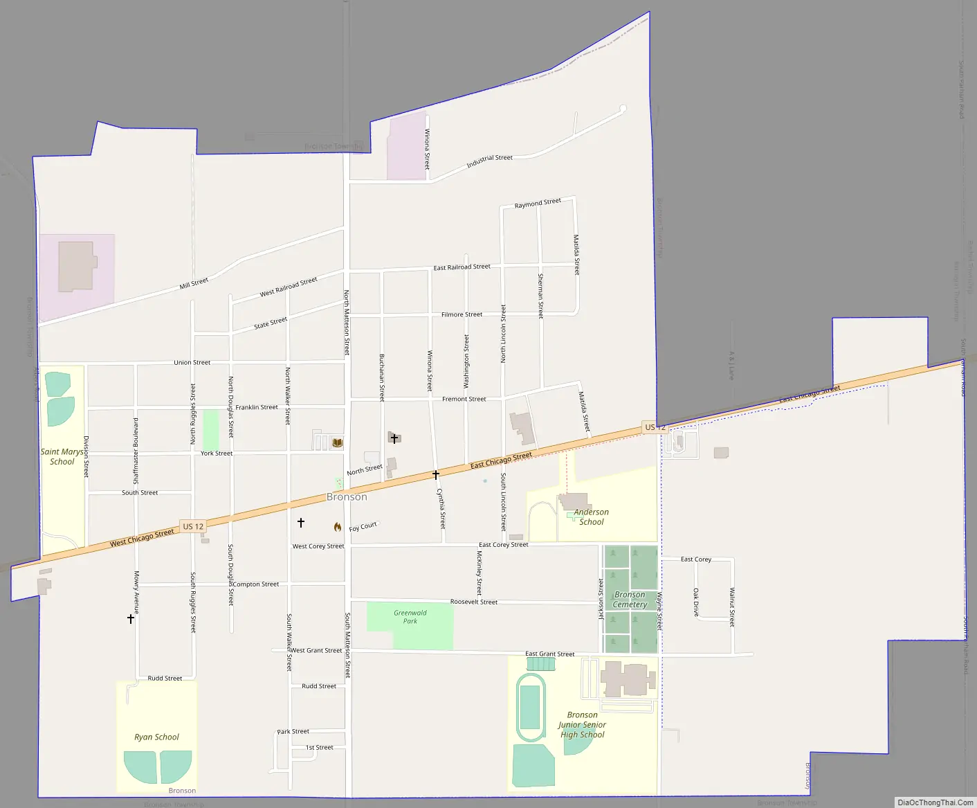
Bronson Road Map
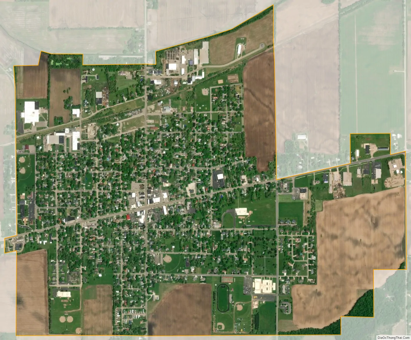
Bronson city Satellite Map
Geography
According to the United States Census Bureau, the city has a total area of 1.37 square miles (3.55 km), all land.
The North Bronson Industrial Area Superfund Sites are a group of three United States Environmental Protection Agency Superfund sites: the former Bronson Reel Facility, the former L.A. Darling Facility, and the former Scott Fetzer Facility.
See also
Map of Michigan State and its subdivision:- Alcona
- Alger
- Allegan
- Alpena
- Antrim
- Arenac
- Baraga
- Barry
- Bay
- Benzie
- Berrien
- Branch
- Calhoun
- Cass
- Charlevoix
- Cheboygan
- Chippewa
- Clare
- Clinton
- Crawford
- Delta
- Dickinson
- Eaton
- Emmet
- Genesee
- Gladwin
- Gogebic
- Grand Traverse
- Gratiot
- Hillsdale
- Houghton
- Huron
- Ingham
- Ionia
- Iosco
- Iron
- Isabella
- Jackson
- Kalamazoo
- Kalkaska
- Kent
- Keweenaw
- Lake
- Lake Hurron
- Lake Michigan
- Lake St. Clair
- Lake Superior
- Lapeer
- Leelanau
- Lenawee
- Livingston
- Luce
- Mackinac
- Macomb
- Manistee
- Marquette
- Mason
- Mecosta
- Menominee
- Midland
- Missaukee
- Monroe
- Montcalm
- Montmorency
- Muskegon
- Newaygo
- Oakland
- Oceana
- Ogemaw
- Ontonagon
- Osceola
- Oscoda
- Otsego
- Ottawa
- Presque Isle
- Roscommon
- Saginaw
- Saint Clair
- Saint Joseph
- Sanilac
- Schoolcraft
- Shiawassee
- Tuscola
- Van Buren
- Washtenaw
- Wayne
- Wexford
- Alabama
- Alaska
- Arizona
- Arkansas
- California
- Colorado
- Connecticut
- Delaware
- District of Columbia
- Florida
- Georgia
- Hawaii
- Idaho
- Illinois
- Indiana
- Iowa
- Kansas
- Kentucky
- Louisiana
- Maine
- Maryland
- Massachusetts
- Michigan
- Minnesota
- Mississippi
- Missouri
- Montana
- Nebraska
- Nevada
- New Hampshire
- New Jersey
- New Mexico
- New York
- North Carolina
- North Dakota
- Ohio
- Oklahoma
- Oregon
- Pennsylvania
- Rhode Island
- South Carolina
- South Dakota
- Tennessee
- Texas
- Utah
- Vermont
- Virginia
- Washington
- West Virginia
- Wisconsin
- Wyoming