Brooklyn is a village in Jackson County in the U.S. state of Michigan. The population was 1,206 at the 2010 census. It is located in the Irish Hills region of southern Michigan, just north of U.S. Route 12 along M-50. The village is located within Columbia Township.
The village is well known for its proximity to Michigan International Speedway, which is just south in Cambridge Township.
| Name: | Brooklyn village |
|---|---|
| LSAD Code: | 47 |
| LSAD Description: | village (suffix) |
| State: | Michigan |
| County: | Jackson County |
| Founded: | 1832 |
| Elevation: | 991 ft (303 m) |
| Total Area: | 0.95 sq mi (2.46 km²) |
| Land Area: | 0.94 sq mi (2.43 km²) |
| Water Area: | 0.01 sq mi (0.03 km²) |
| Total Population: | 1,313 |
| Population Density: | 1,399.79/sq mi (540.69/km²) |
| Area code: | 517 |
| FIPS code: | 2611000 |
| GNISfeature ID: | 2397467 |
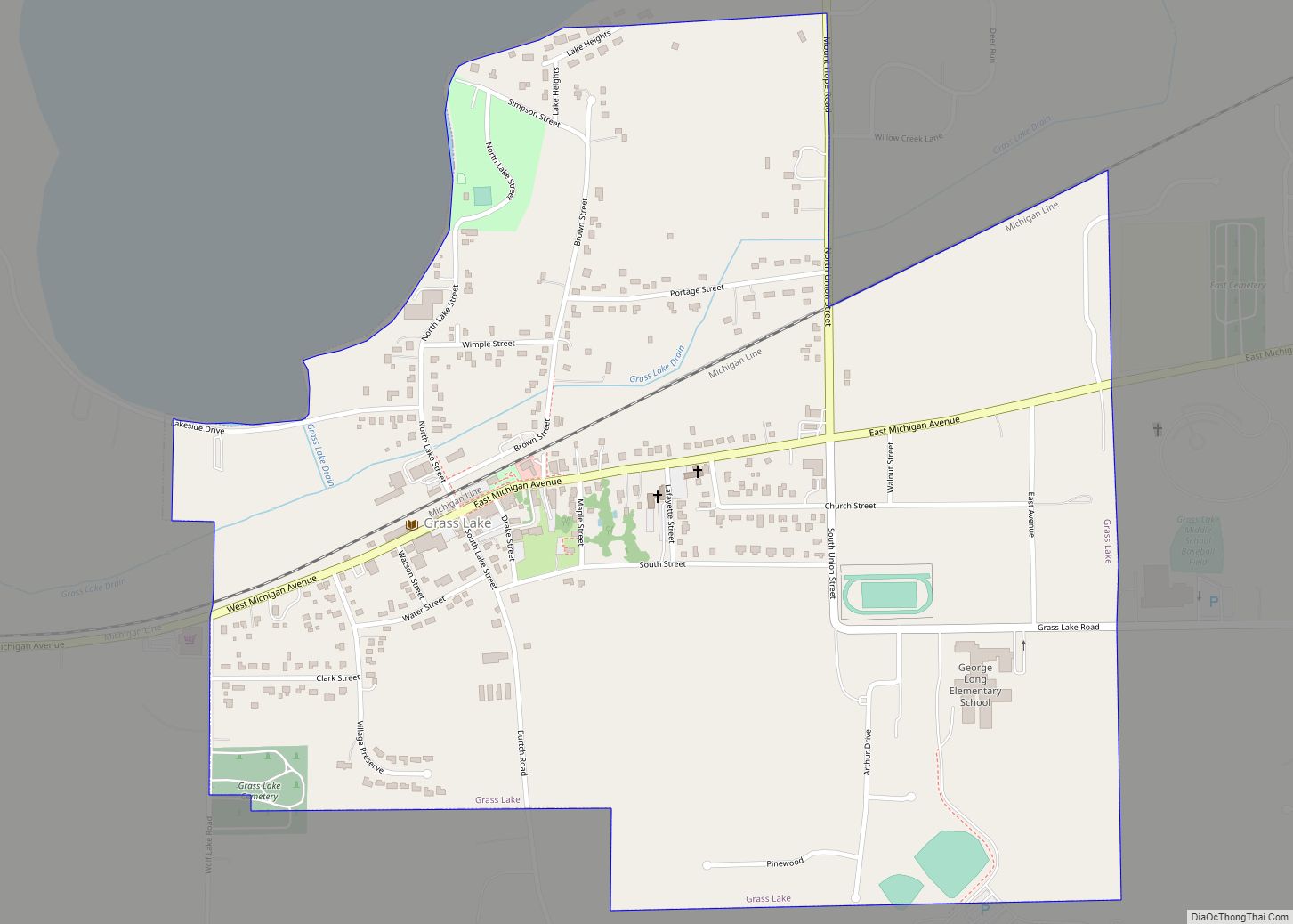
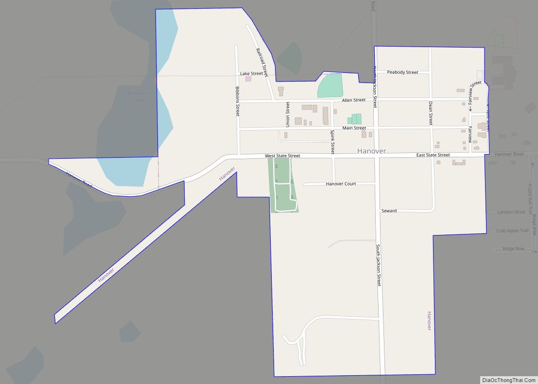
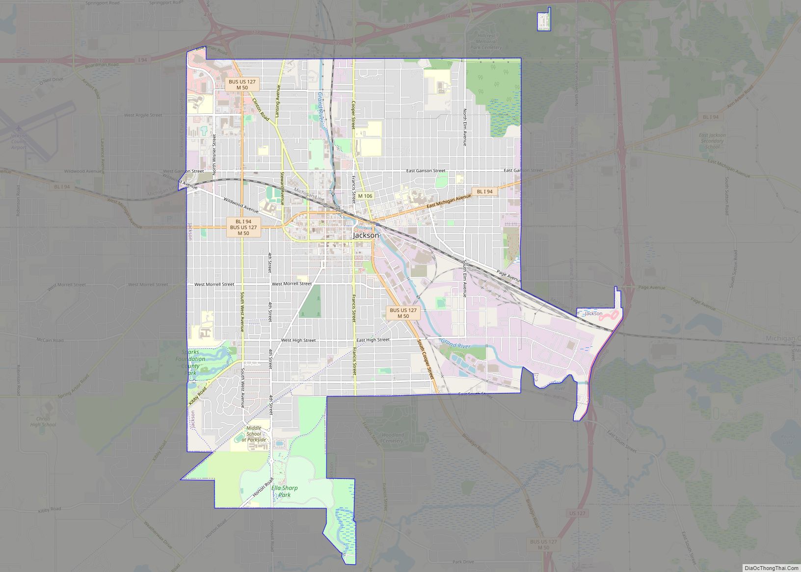
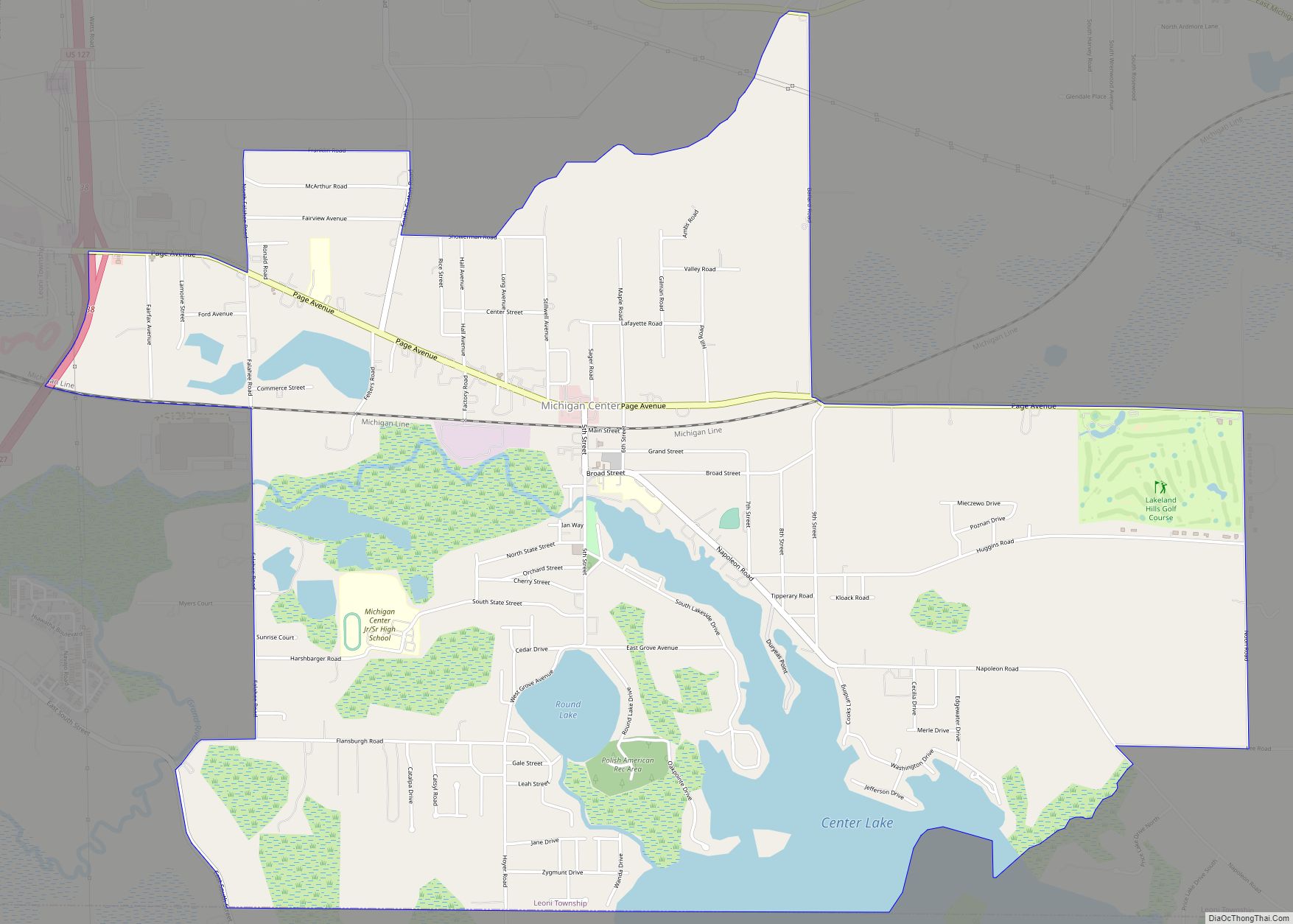
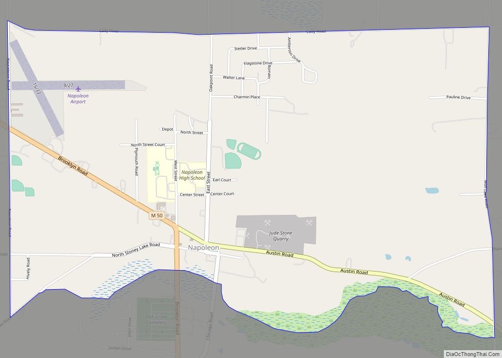
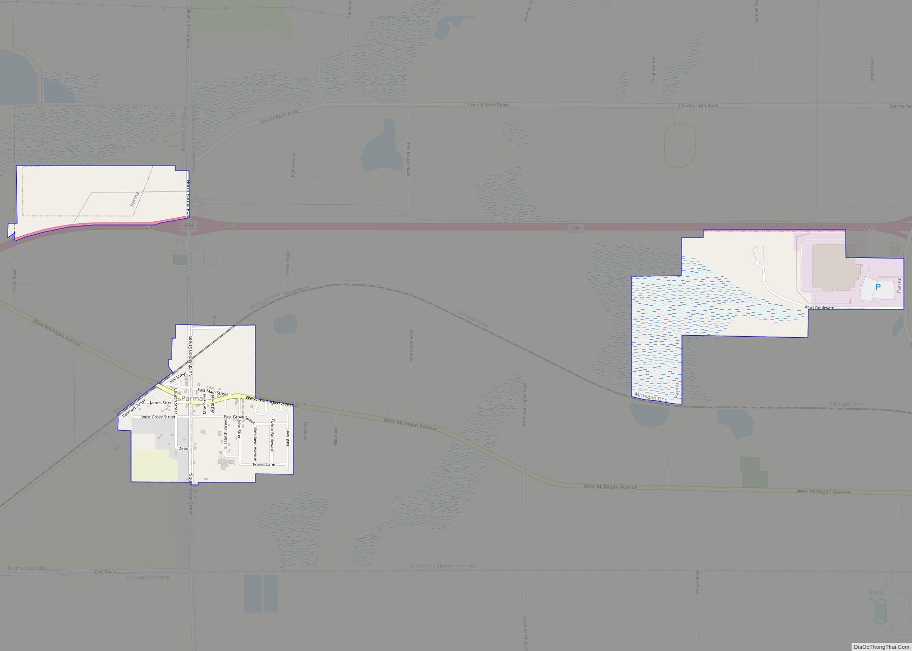
Online Interactive Map
Click on ![]() to view map in "full screen" mode.
to view map in "full screen" mode.
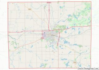
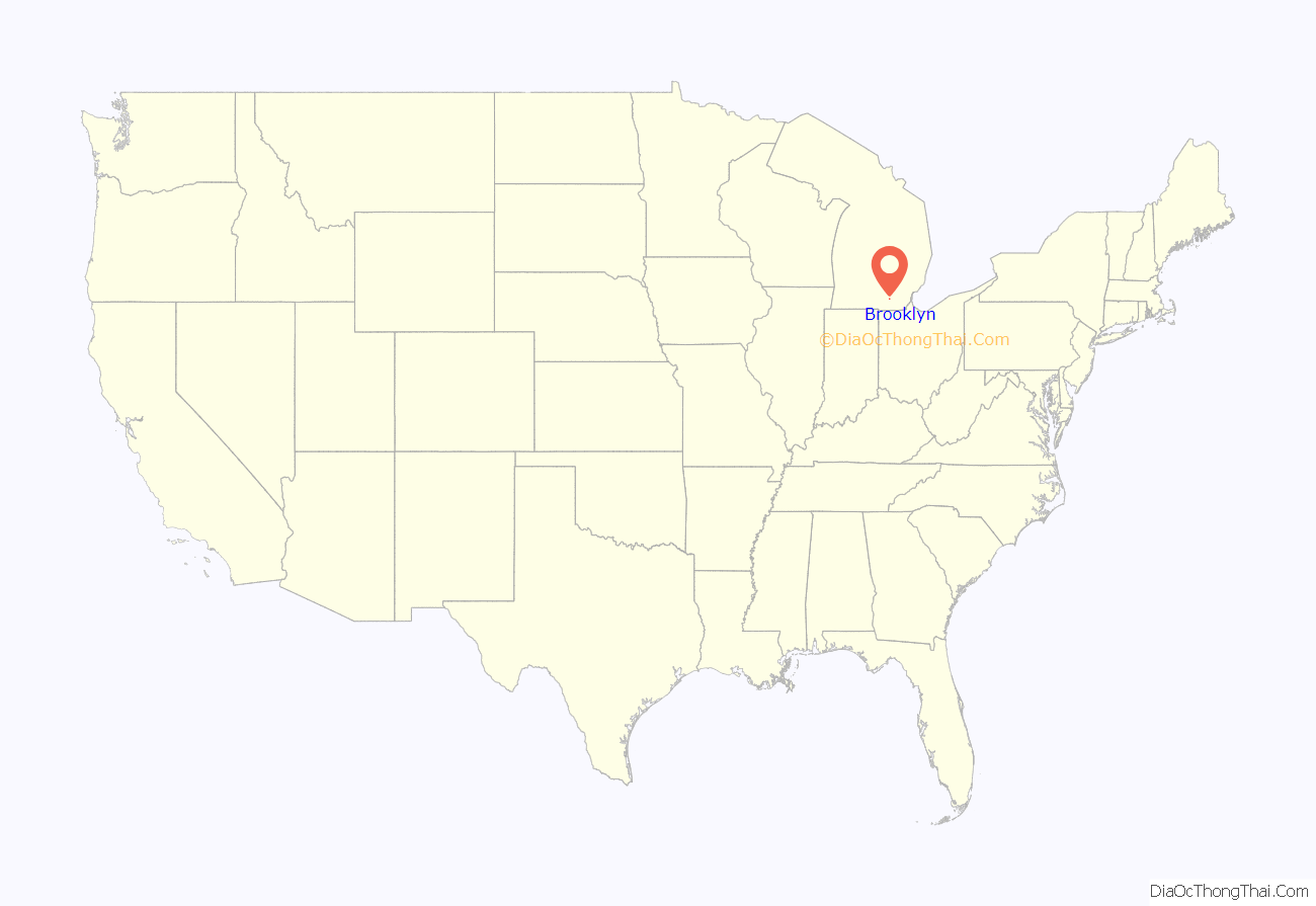
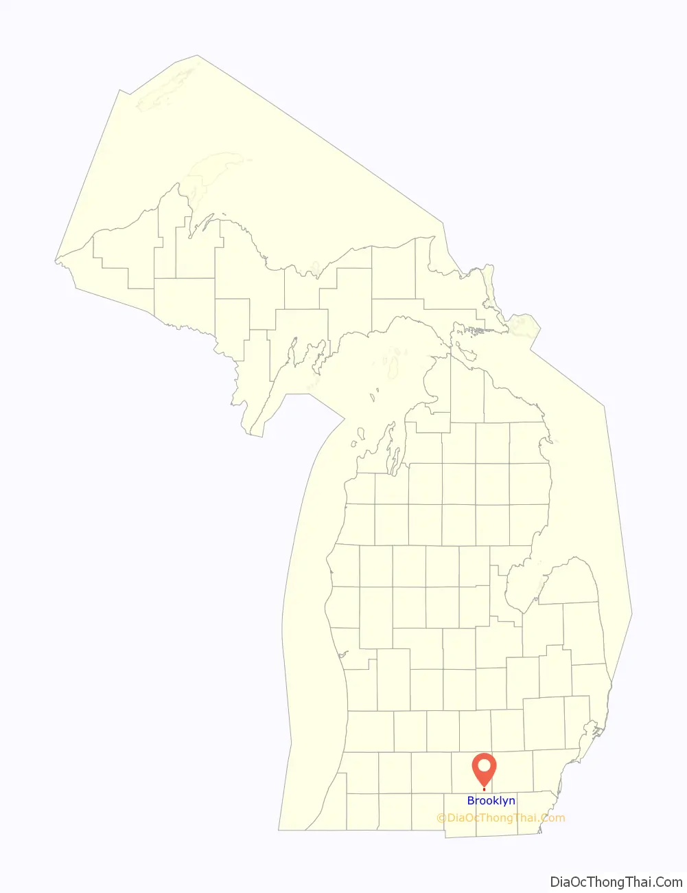
Brooklyn location map. Where is Brooklyn village?
History
The village was founded by Calvin Swain, who filed the first land claim on June 16, 1832 and named his settlement Swainsville. In a town meeting vote on August 5, 1836, the community elected to change the town’s name to Brooklyn. The town is named after Brooklyn, New York.
A sign marking Swain’s historical discovery currently stands in the town square.
The area was primarily a summer vacation spot for residents of metropolitan Detroit who owned cottages near lakes in the area. With the nearby additions of Interstate 94 in the late 1950s and Michigan International Speedway in the late 1960s, Brooklyn established a year-round population.
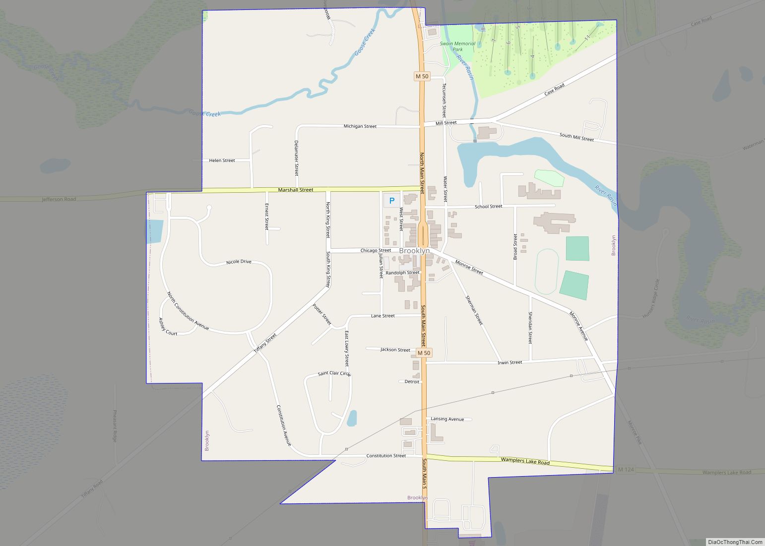
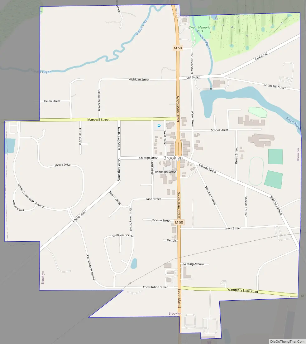
Brooklyn Road Map
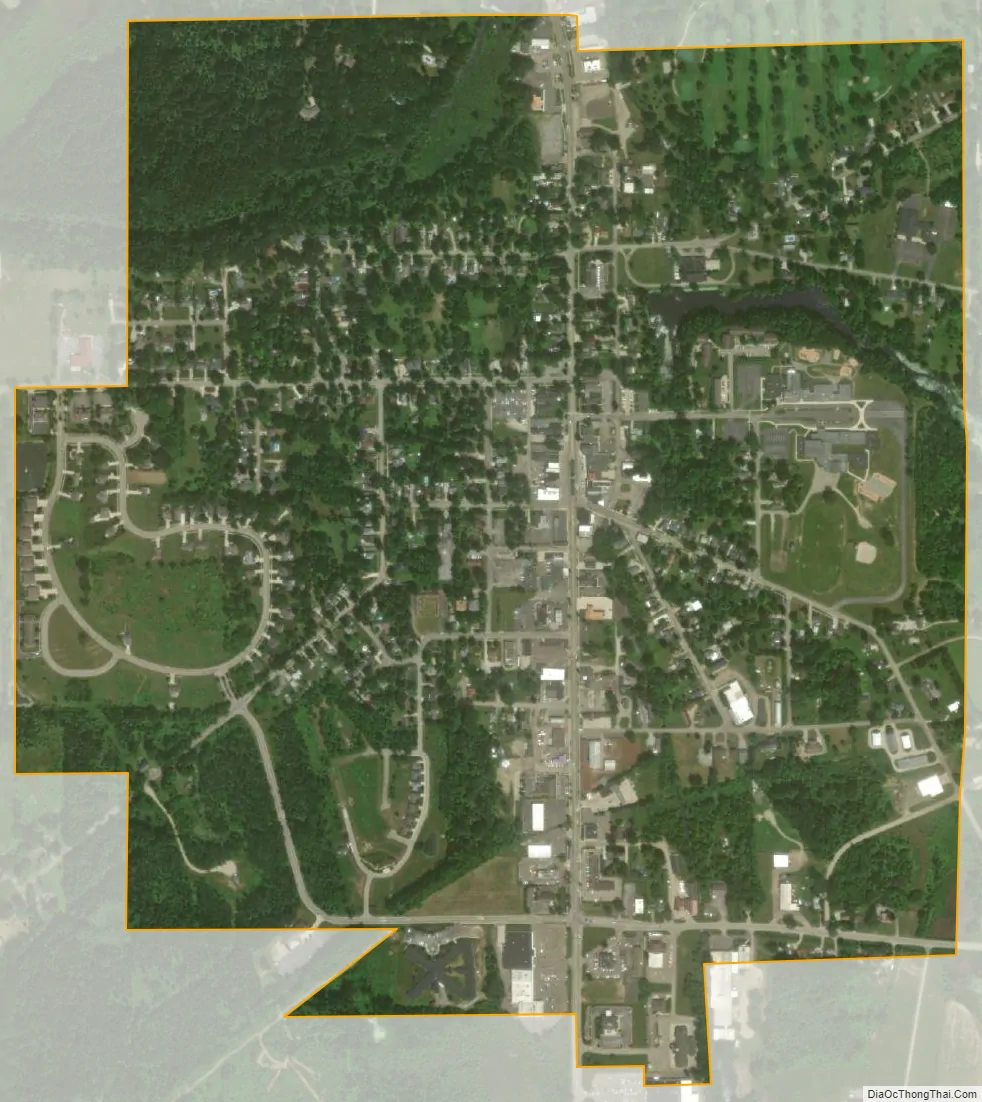
Brooklyn city Satellite Map
Geography
According to the United States Census Bureau, the village has a total area of 1.02 square miles (2.64 km), of which 1.01 square miles (2.62 km) is land and 0.01 square miles (0.03 km) (0.98%) is water.
Brooklyn is located in a portion of central lower Michigan known for its lush, rolling green landscapes in the Irish Hills area of Southeast Michigan, which contains scenic lakes surrounding Hayes State Park, Watkins Lake State Park and County Preserve, and Cambridge Junction Historic State Park. The village is 14 miles (23 km) southeast of Jackson, 37 miles (60 km) southwest of Ann Arbor, 56 miles (90 km) southeast of Lansing and 60 miles (97 km) from Detroit.
See also
Map of Michigan State and its subdivision:- Alcona
- Alger
- Allegan
- Alpena
- Antrim
- Arenac
- Baraga
- Barry
- Bay
- Benzie
- Berrien
- Branch
- Calhoun
- Cass
- Charlevoix
- Cheboygan
- Chippewa
- Clare
- Clinton
- Crawford
- Delta
- Dickinson
- Eaton
- Emmet
- Genesee
- Gladwin
- Gogebic
- Grand Traverse
- Gratiot
- Hillsdale
- Houghton
- Huron
- Ingham
- Ionia
- Iosco
- Iron
- Isabella
- Jackson
- Kalamazoo
- Kalkaska
- Kent
- Keweenaw
- Lake
- Lake Hurron
- Lake Michigan
- Lake St. Clair
- Lake Superior
- Lapeer
- Leelanau
- Lenawee
- Livingston
- Luce
- Mackinac
- Macomb
- Manistee
- Marquette
- Mason
- Mecosta
- Menominee
- Midland
- Missaukee
- Monroe
- Montcalm
- Montmorency
- Muskegon
- Newaygo
- Oakland
- Oceana
- Ogemaw
- Ontonagon
- Osceola
- Oscoda
- Otsego
- Ottawa
- Presque Isle
- Roscommon
- Saginaw
- Saint Clair
- Saint Joseph
- Sanilac
- Schoolcraft
- Shiawassee
- Tuscola
- Van Buren
- Washtenaw
- Wayne
- Wexford
- Alabama
- Alaska
- Arizona
- Arkansas
- California
- Colorado
- Connecticut
- Delaware
- District of Columbia
- Florida
- Georgia
- Hawaii
- Idaho
- Illinois
- Indiana
- Iowa
- Kansas
- Kentucky
- Louisiana
- Maine
- Maryland
- Massachusetts
- Michigan
- Minnesota
- Mississippi
- Missouri
- Montana
- Nebraska
- Nevada
- New Hampshire
- New Jersey
- New Mexico
- New York
- North Carolina
- North Dakota
- Ohio
- Oklahoma
- Oregon
- Pennsylvania
- Rhode Island
- South Carolina
- South Dakota
- Tennessee
- Texas
- Utah
- Vermont
- Virginia
- Washington
- West Virginia
- Wisconsin
- Wyoming