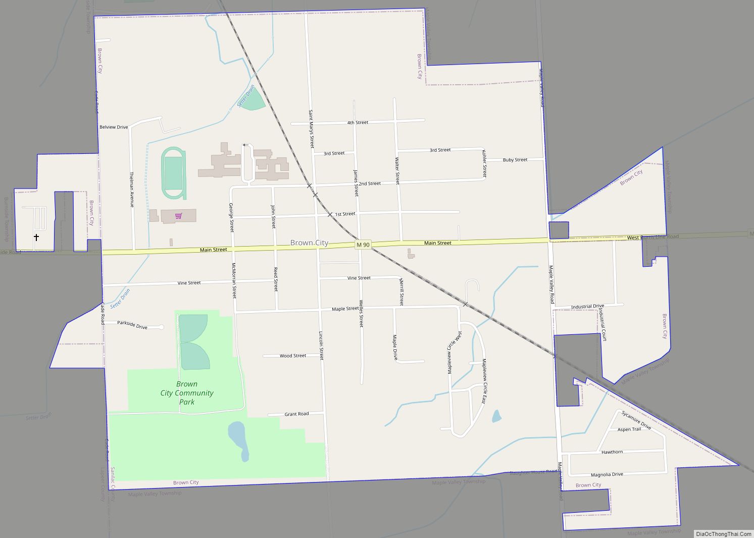
Brown City is a city in Lapeer and Sanilac counties in the U.S. state of Michigan. The population was 1,325 at the 2010 census. The city is located almost exclusively in Sanilac County, with only a small portion of the city extending into Lapeer County.
| Name: | Brown City city |
|---|---|
| LSAD Code: | 25 |
| LSAD Description: | city (suffix) |
| State: | Michigan |
| County: | Lapeer County, Sanilac County |
| Elevation: | 823 ft (251 m) |
| Total Area: | 1.14 sq mi (2.94 km²) |
| Land Area: | 1.13 sq mi (2.94 km²) |
| Water Area: | 0.00 sq mi (0.00 km²) |
| Total Population: | 1,302 |
| Population Density: | 1,148.15/sq mi (443.30/km²) |
| ZIP code: | 48416 |
| Area code: | 810 |
| FIPS code: | 2611180 |
| GNISfeature ID: | 0622071 |
| Website: | www.ci.brown-city.mi.us |
Online Interactive Map
Click on ![]() to view map in "full screen" mode.
to view map in "full screen" mode.
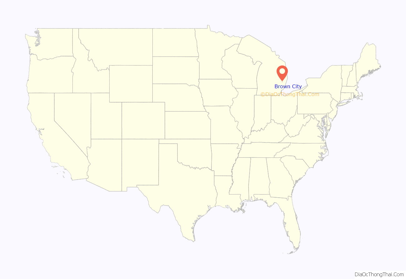
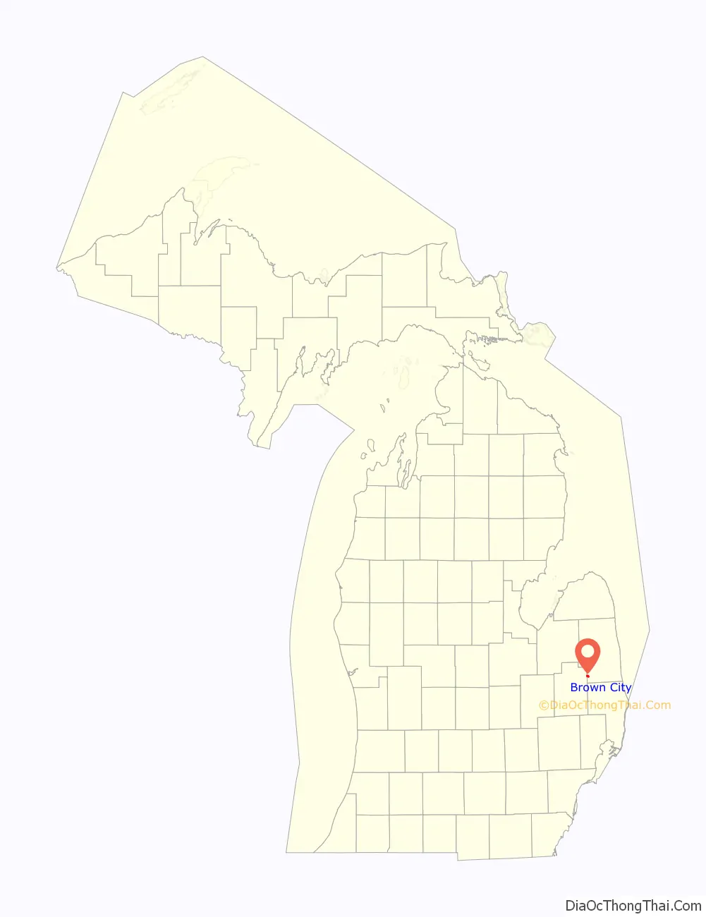
Brown City location map. Where is Brown City city?
History
Brown City was established in 1879 as a station on the Port Huron and Northwestern Railway, later a part of the Pere Marquette Railroad. The area quickly grew to become an efficient shipment point for lumber and grains. Brown City was incorporated as a village in 1887 and as a city in 1907. The Marquette Flyer provided early rail passenger and mail service between Detroit and Ludington. In the 1920s the Pere Marquette came under the control of the Chesapeake and Ohio Railway and was formally merged into it on 6 June 1947.
The city fell under the 4th Class City Act for its governance. In 1998, the city residents approved a charter ending its fourth class city status.
On 30 April 1998, the Huron and Eastern Railway purchased CSX’s Port Huron Subdivision from Saginaw to Brown City. The line southeast of Brown City is still in place to the Avoca grain elevator, but has been out of service since the HESR acquisition.
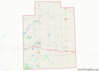
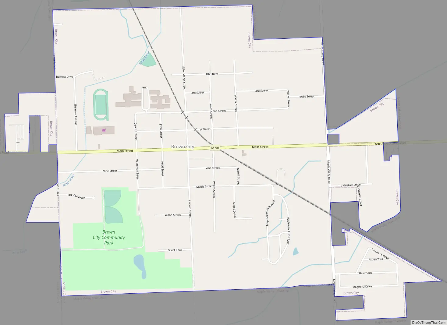
Brown City Road Map
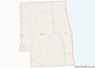
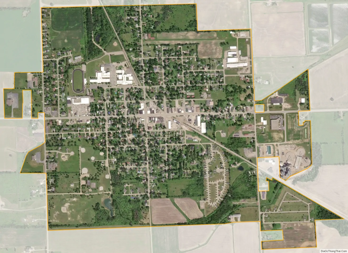
Brown City city Satellite Map
Geography
According to the United States Census Bureau, the city has a total area of 1.09 square miles (2.82 km), all land.
See also
Map of Michigan State and its subdivision:- Alcona
- Alger
- Allegan
- Alpena
- Antrim
- Arenac
- Baraga
- Barry
- Bay
- Benzie
- Berrien
- Branch
- Calhoun
- Cass
- Charlevoix
- Cheboygan
- Chippewa
- Clare
- Clinton
- Crawford
- Delta
- Dickinson
- Eaton
- Emmet
- Genesee
- Gladwin
- Gogebic
- Grand Traverse
- Gratiot
- Hillsdale
- Houghton
- Huron
- Ingham
- Ionia
- Iosco
- Iron
- Isabella
- Jackson
- Kalamazoo
- Kalkaska
- Kent
- Keweenaw
- Lake
- Lake Hurron
- Lake Michigan
- Lake St. Clair
- Lake Superior
- Lapeer
- Leelanau
- Lenawee
- Livingston
- Luce
- Mackinac
- Macomb
- Manistee
- Marquette
- Mason
- Mecosta
- Menominee
- Midland
- Missaukee
- Monroe
- Montcalm
- Montmorency
- Muskegon
- Newaygo
- Oakland
- Oceana
- Ogemaw
- Ontonagon
- Osceola
- Oscoda
- Otsego
- Ottawa
- Presque Isle
- Roscommon
- Saginaw
- Saint Clair
- Saint Joseph
- Sanilac
- Schoolcraft
- Shiawassee
- Tuscola
- Van Buren
- Washtenaw
- Wayne
- Wexford
- Alabama
- Alaska
- Arizona
- Arkansas
- California
- Colorado
- Connecticut
- Delaware
- District of Columbia
- Florida
- Georgia
- Hawaii
- Idaho
- Illinois
- Indiana
- Iowa
- Kansas
- Kentucky
- Louisiana
- Maine
- Maryland
- Massachusetts
- Michigan
- Minnesota
- Mississippi
- Missouri
- Montana
- Nebraska
- Nevada
- New Hampshire
- New Jersey
- New Mexico
- New York
- North Carolina
- North Dakota
- Ohio
- Oklahoma
- Oregon
- Pennsylvania
- Rhode Island
- South Carolina
- South Dakota
- Tennessee
- Texas
- Utah
- Vermont
- Virginia
- Washington
- West Virginia
- Wisconsin
- Wyoming