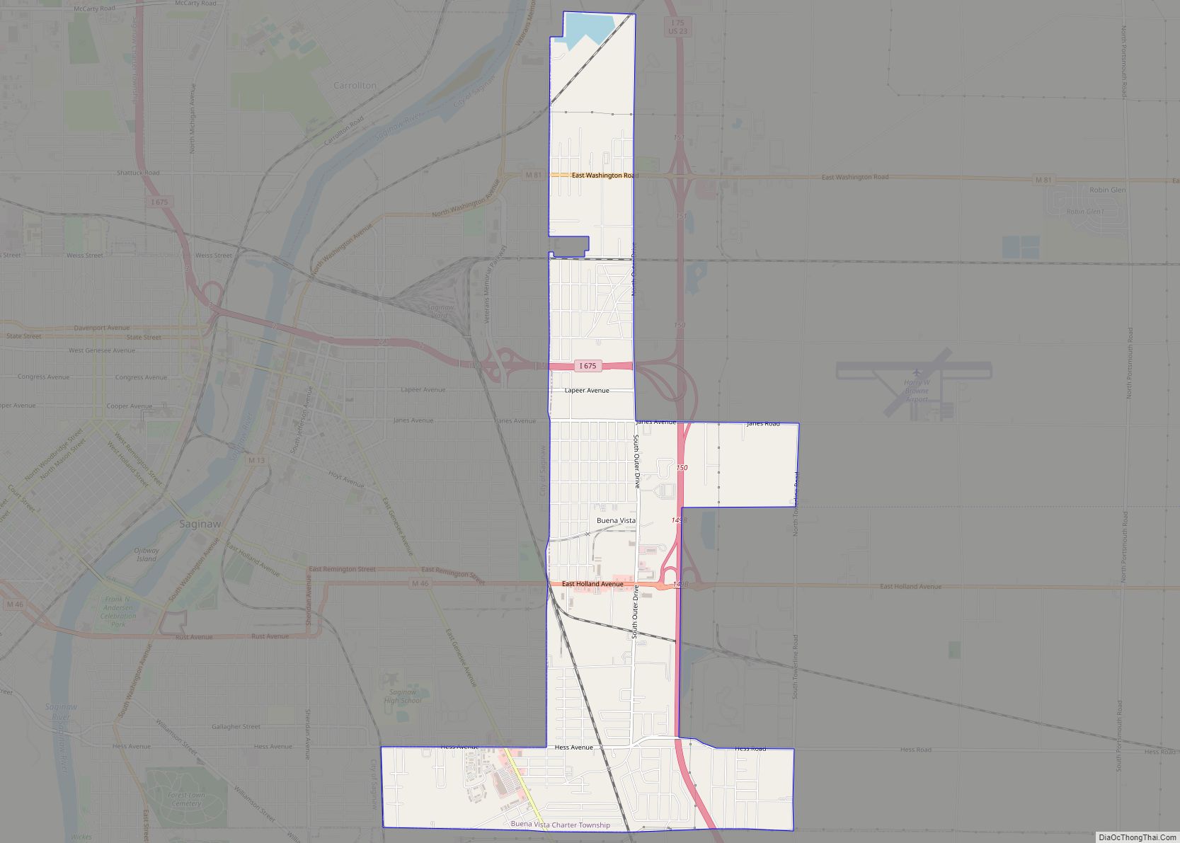
Buena Vista (/ˌbjuːnəˈvɪstə/ BEW-nə-VIS-tə) is an unincorporated community and census-designated place within Buena Vista Charter Township, Saginaw County in the U.S. state of Michigan. The U.S. Census Bureau has defined a census-designated place (CDP) with the same name for statistical purposes. The CDP has no official status as a municipality and the boundaries defined by the Census Bureau may not precisely correspond to local understanding of the Buena Vista area. The CDP consists of an area adjacent to the city of Saginaw on its east side and mostly east of Interstate 75. The population was 7,845 at the 2000 census.
| Name: | Buena Vista CDP |
|---|---|
| LSAD Code: | 57 |
| LSAD Description: | CDP (suffix) |
| State: | Michigan |
| County: | Saginaw County |
| Elevation: | 607 ft (185 m) |
| Total Area: | 4.00 sq mi (10.35 km²) |
| Land Area: | 4.00 sq mi (10.35 km²) |
| Water Area: | 0.00 sq mi (0.00 km²) |
| Total Population: | 5,855 |
| Population Density: | 1,465.22/sq mi (565.66/km²) |
| Area code: | 989 |
| FIPS code: | 2611555 |
| GNISfeature ID: | 2393354 |
Online Interactive Map
Click on ![]() to view map in "full screen" mode.
to view map in "full screen" mode.
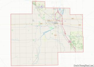
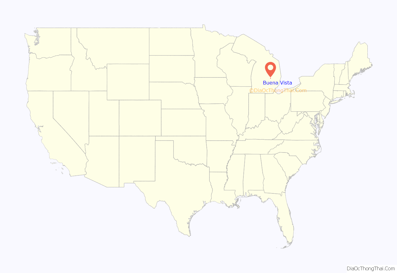
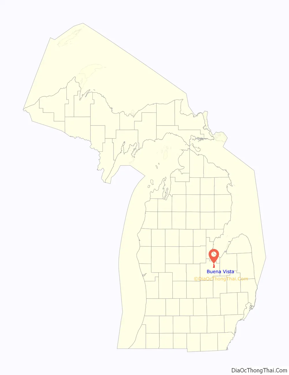
Buena Vista location map. Where is Buena Vista CDP?
History
Buena Vista began in 1846 when Curtis Emerson bought an abandoned mill here and created a settlement around it. It was named to commemorate Zachary Taylor’s then recent victory at the Battle of Buena Vista.
On July 30, 2013, the Saginaw Intermediate School District Board of Trustees officially dissolved the Buena Vista School District with the district area being split up between three other districts.
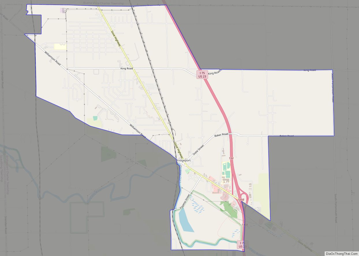
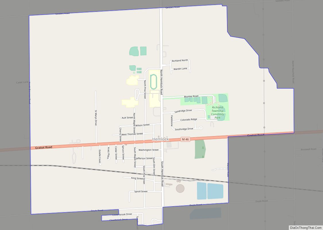
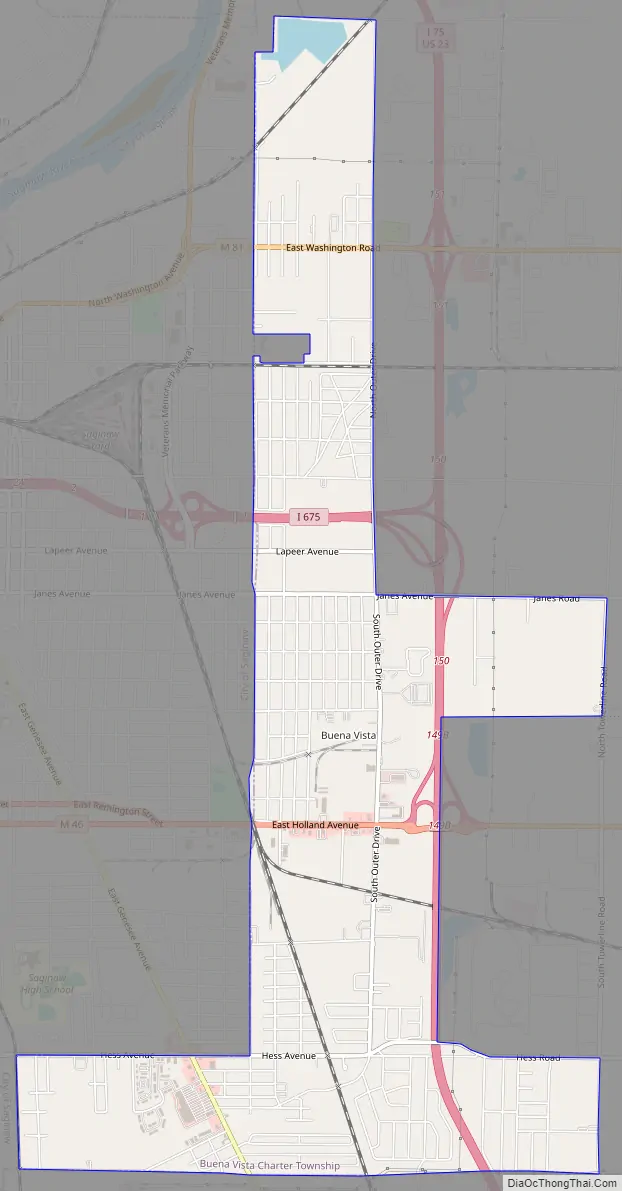
Buena Vista Road Map
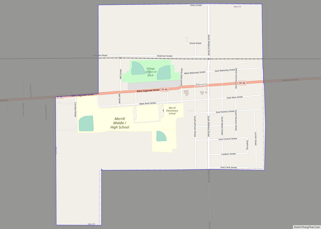
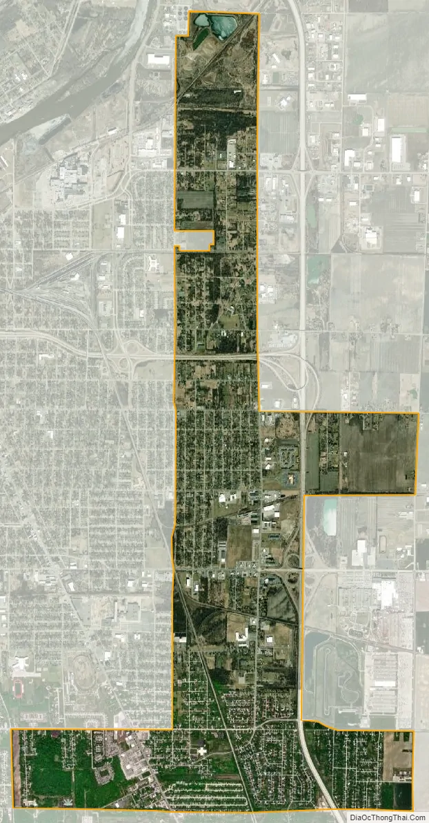
Buena Vista city Satellite Map
Geography
According to the United States Census Bureau, the CDP has a total area of 4.5 square miles (12 km), all land.
See also
Map of Michigan State and its subdivision:- Alcona
- Alger
- Allegan
- Alpena
- Antrim
- Arenac
- Baraga
- Barry
- Bay
- Benzie
- Berrien
- Branch
- Calhoun
- Cass
- Charlevoix
- Cheboygan
- Chippewa
- Clare
- Clinton
- Crawford
- Delta
- Dickinson
- Eaton
- Emmet
- Genesee
- Gladwin
- Gogebic
- Grand Traverse
- Gratiot
- Hillsdale
- Houghton
- Huron
- Ingham
- Ionia
- Iosco
- Iron
- Isabella
- Jackson
- Kalamazoo
- Kalkaska
- Kent
- Keweenaw
- Lake
- Lake Hurron
- Lake Michigan
- Lake St. Clair
- Lake Superior
- Lapeer
- Leelanau
- Lenawee
- Livingston
- Luce
- Mackinac
- Macomb
- Manistee
- Marquette
- Mason
- Mecosta
- Menominee
- Midland
- Missaukee
- Monroe
- Montcalm
- Montmorency
- Muskegon
- Newaygo
- Oakland
- Oceana
- Ogemaw
- Ontonagon
- Osceola
- Oscoda
- Otsego
- Ottawa
- Presque Isle
- Roscommon
- Saginaw
- Saint Clair
- Saint Joseph
- Sanilac
- Schoolcraft
- Shiawassee
- Tuscola
- Van Buren
- Washtenaw
- Wayne
- Wexford
- Alabama
- Alaska
- Arizona
- Arkansas
- California
- Colorado
- Connecticut
- Delaware
- District of Columbia
- Florida
- Georgia
- Hawaii
- Idaho
- Illinois
- Indiana
- Iowa
- Kansas
- Kentucky
- Louisiana
- Maine
- Maryland
- Massachusetts
- Michigan
- Minnesota
- Mississippi
- Missouri
- Montana
- Nebraska
- Nevada
- New Hampshire
- New Jersey
- New Mexico
- New York
- North Carolina
- North Dakota
- Ohio
- Oklahoma
- Oregon
- Pennsylvania
- Rhode Island
- South Carolina
- South Dakota
- Tennessee
- Texas
- Utah
- Vermont
- Virginia
- Washington
- West Virginia
- Wisconsin
- Wyoming