Byron Center is an unincorporated community and census-designated place (CDP) in Kent County in the U.S. state of Michigan. The population was 7,431 at the 2020 census, which is a significant increase from a population of 5,822 at the 2010 census. Byron Center is located within Byron Township.
As an unincorporated community, Byron Center has no legal autonomy of its own but has its own post office with the 49315 ZIP Code, which serves a much larger area within several surrounding townships.
| Name: | Byron Center CDP |
|---|---|
| LSAD Code: | 57 |
| LSAD Description: | CDP (suffix) |
| State: | Michigan |
| County: | Kent County |
| Elevation: | 745 ft (227 m) |
| Total Area: | 5.10 sq mi (13.21 km²) |
| Land Area: | 5.08 sq mi (13.16 km²) |
| Water Area: | 0.02 sq mi (0.05 km²) |
| Total Population: | 7,431 |
| Population Density: | 1,461.93/sq mi (564.42/km²) |
| Area code: | 616 |
| FIPS code: | 2612280 |
| GNISfeature ID: | 0622409 |
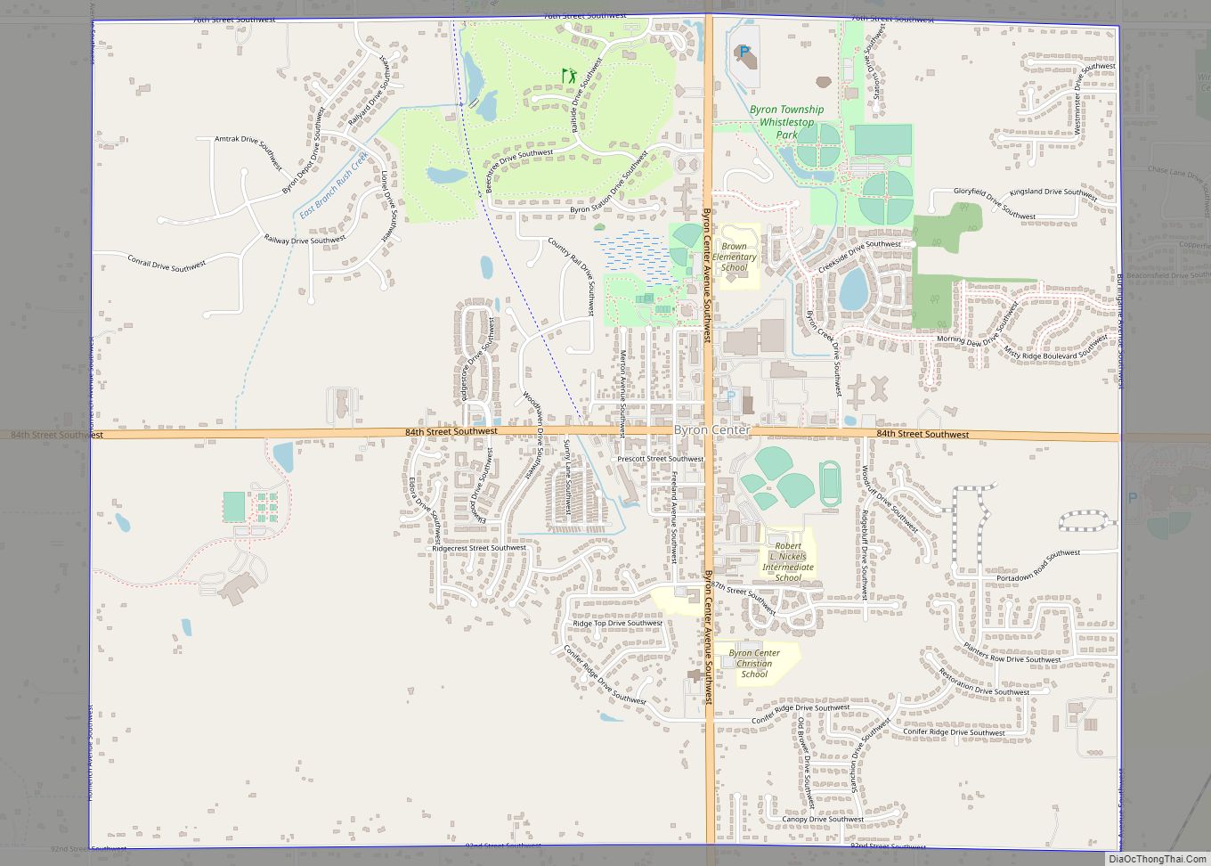
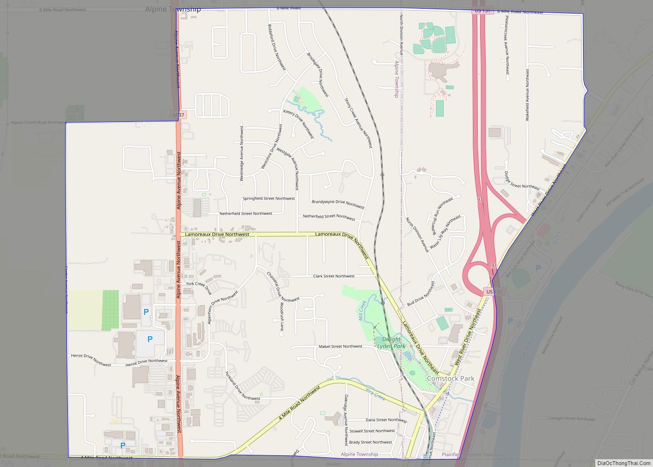
Online Interactive Map
Click on ![]() to view map in "full screen" mode.
to view map in "full screen" mode.
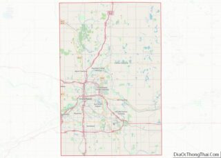
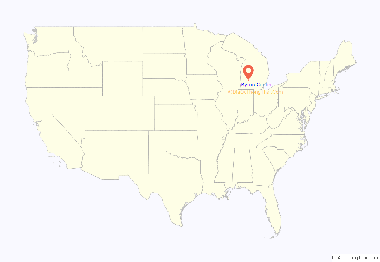
Byron Center location map. Where is Byron Center CDP?
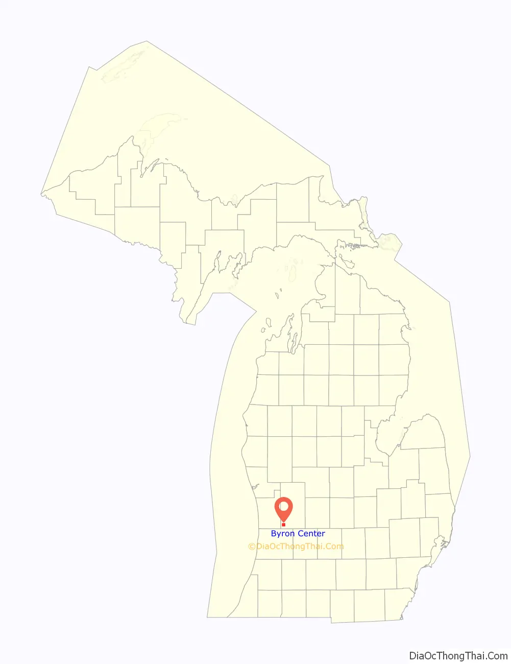
Byron Center Road Map
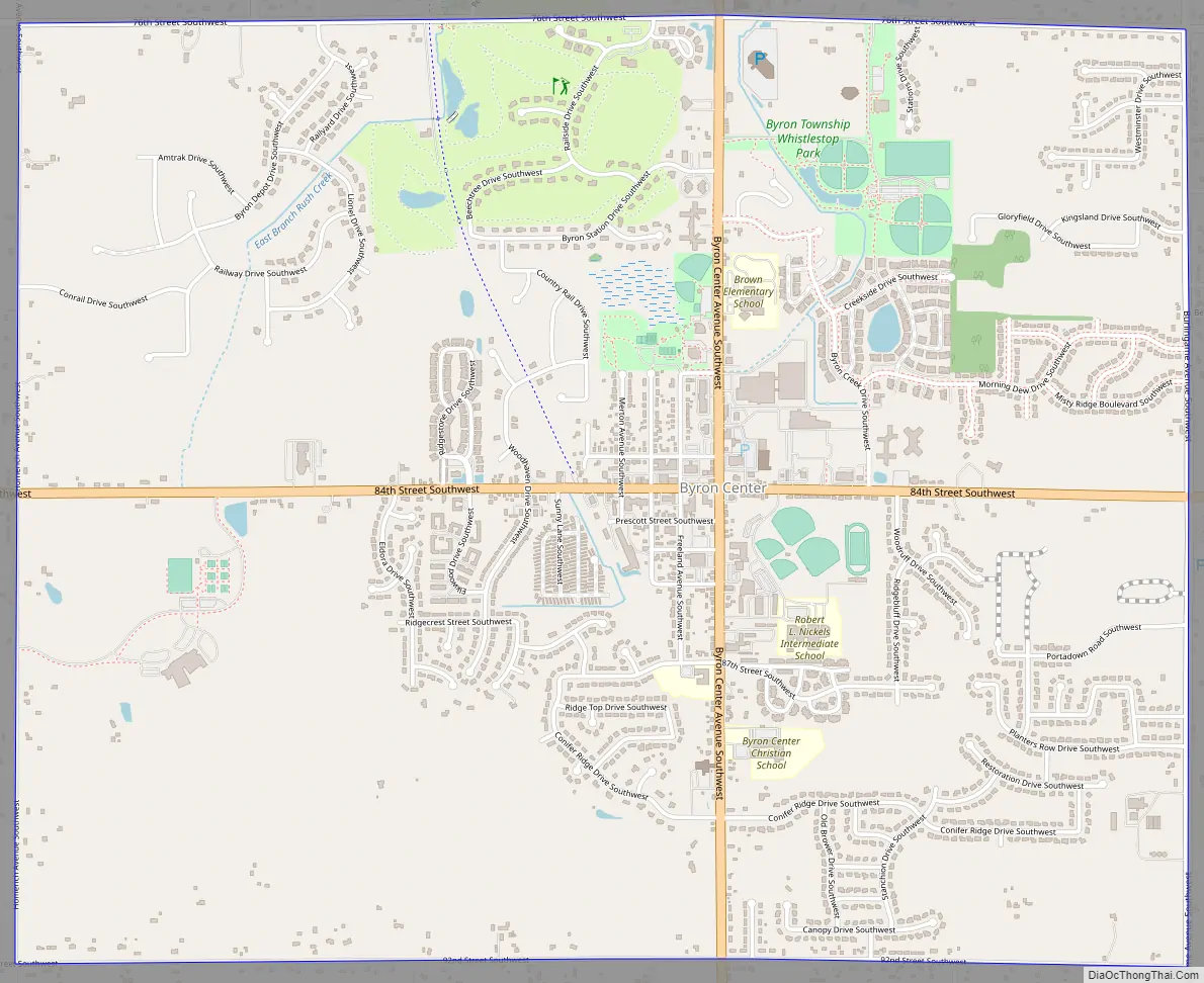
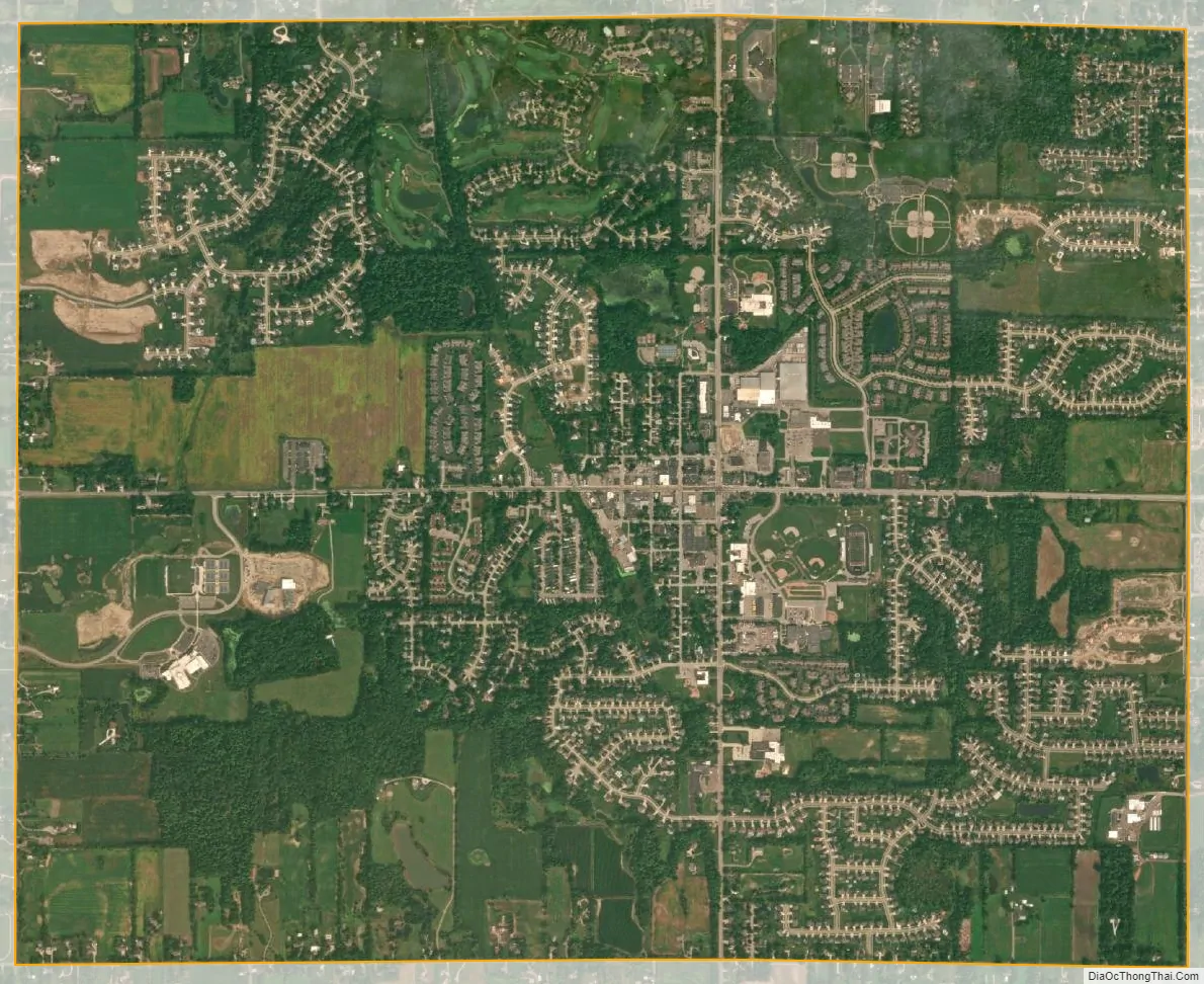
Byron Center city Satellite Map
Geography
According to the U.S. Census Bureau, Byron Center has a total area of 5.10 square miles (13.21 km), of which 5.08 square miles (13.16 km) is land and 0.02 square miles (0.05 km) (0.39%) is water.
See also
Map of Michigan State and its subdivision:- Alcona
- Alger
- Allegan
- Alpena
- Antrim
- Arenac
- Baraga
- Barry
- Bay
- Benzie
- Berrien
- Branch
- Calhoun
- Cass
- Charlevoix
- Cheboygan
- Chippewa
- Clare
- Clinton
- Crawford
- Delta
- Dickinson
- Eaton
- Emmet
- Genesee
- Gladwin
- Gogebic
- Grand Traverse
- Gratiot
- Hillsdale
- Houghton
- Huron
- Ingham
- Ionia
- Iosco
- Iron
- Isabella
- Jackson
- Kalamazoo
- Kalkaska
- Kent
- Keweenaw
- Lake
- Lake Hurron
- Lake Michigan
- Lake St. Clair
- Lake Superior
- Lapeer
- Leelanau
- Lenawee
- Livingston
- Luce
- Mackinac
- Macomb
- Manistee
- Marquette
- Mason
- Mecosta
- Menominee
- Midland
- Missaukee
- Monroe
- Montcalm
- Montmorency
- Muskegon
- Newaygo
- Oakland
- Oceana
- Ogemaw
- Ontonagon
- Osceola
- Oscoda
- Otsego
- Ottawa
- Presque Isle
- Roscommon
- Saginaw
- Saint Clair
- Saint Joseph
- Sanilac
- Schoolcraft
- Shiawassee
- Tuscola
- Van Buren
- Washtenaw
- Wayne
- Wexford
- Alabama
- Alaska
- Arizona
- Arkansas
- California
- Colorado
- Connecticut
- Delaware
- District of Columbia
- Florida
- Georgia
- Hawaii
- Idaho
- Illinois
- Indiana
- Iowa
- Kansas
- Kentucky
- Louisiana
- Maine
- Maryland
- Massachusetts
- Michigan
- Minnesota
- Mississippi
- Missouri
- Montana
- Nebraska
- Nevada
- New Hampshire
- New Jersey
- New Mexico
- New York
- North Carolina
- North Dakota
- Ohio
- Oklahoma
- Oregon
- Pennsylvania
- Rhode Island
- South Carolina
- South Dakota
- Tennessee
- Texas
- Utah
- Vermont
- Virginia
- Washington
- West Virginia
- Wisconsin
- Wyoming